Plizio Visual Lab
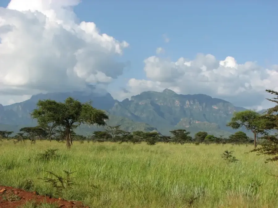
Kadam Gorges
Weather…
Water temperature…
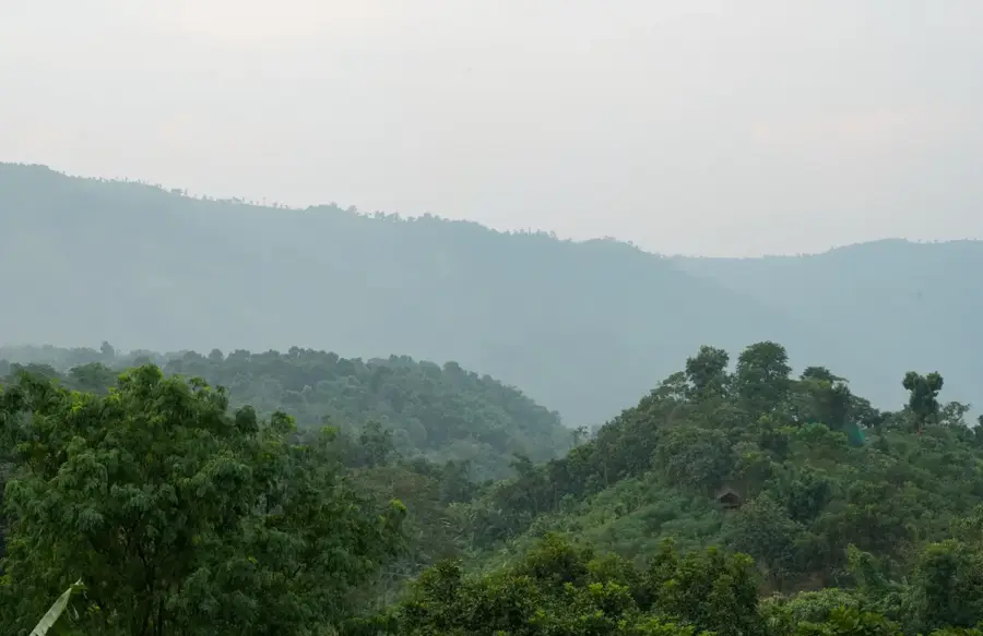
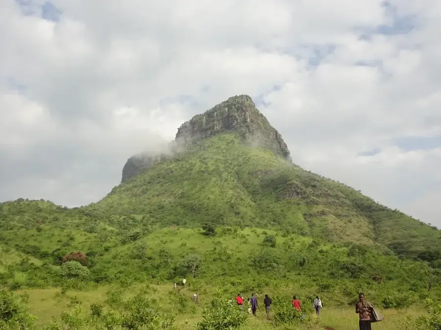
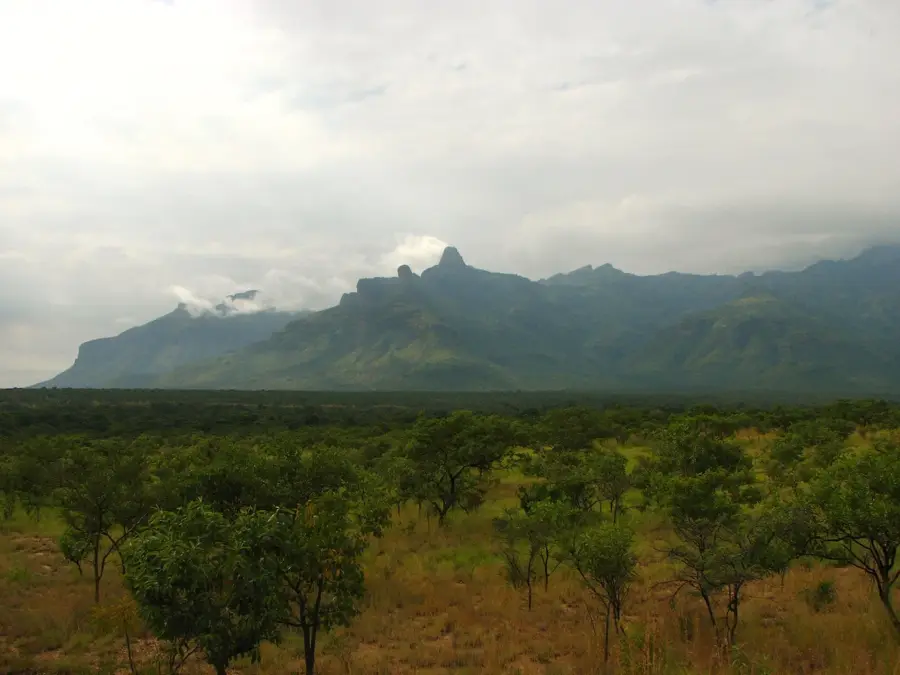
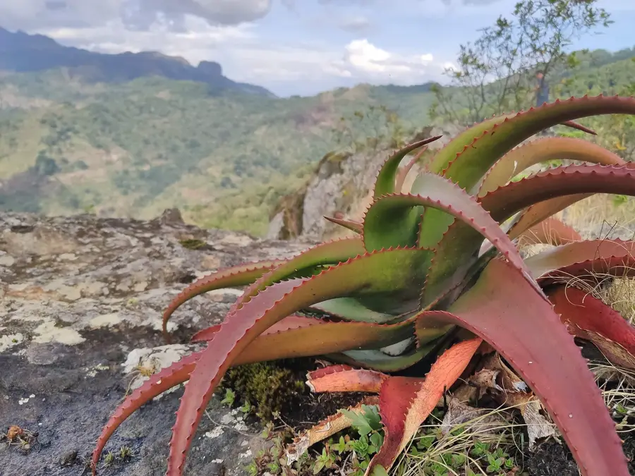
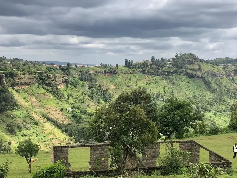
The Kadam Gorges are a series of deep, rugged valleys located on the slopes of Mount Kadam in the Karamoja region of northeastern Uganda. These geological features have been primarily formed by seasonal water erosion, where rivers during the rainy season carry away large volumes of rock and soil. The gorges create a unique microclimate that supports denser and more diverse vegetation compared to the surrounding semi-arid plains. This area is the ancestral home of the Kadam people, a subgroup of the Karamojong ethnic group, who traditionally practice a pastoralist lifestyle. For these communities, the gorges are of critical importance, serving as vital sources of water and grazing land during the long dry season. Due to its remoteness and underdeveloped infrastructure, the region is seldom visited by tourists but holds considerable potential for ecotourism development. The conservation of these gorges is paramount not only for local biodiversity but also for the survival and cultural identity of the Kadam people.
- Location: Uganda
- Nearby: Kapchorwa (46 km)
Best time to visit & climate
The most pleasant time to visit is Jan, Nov, Dec.
| Jan | Feb | Mar | Apr | May | Jun | Jul | Aug | Sep | Oct | Nov | Dec | |
|---|---|---|---|---|---|---|---|---|---|---|---|---|
| Avg °C | 26 | 27 | 27 | 26 | 25 | 24 | 23 | 23 | 24 | 25 | 24 | 25 |
| Rain mm | 15 | 17 | 43 | 89 | 114 | 85 | 94 | 120 | 111 | 85 | 56 | 34 |
📋 Practical info
Geography
Facts
- Mount Kadam is an extinct volcano reaching an elevation of 3,063 meters.
- The Karamoja region is one of the poorest and least developed in Uganda.
- The Kadam people are one of about 25 subgroups of the Karamojong.
- Annual rainfall in the region is often less than 500 mm.
- The gorges act as natural water reservoirs during the dry season.
- The area is part of the Southern Karamoja Wildlife Reserve.
Explore nearby
Notable places around
Route planner — Car & Motorhome
Where do you start? We build the route here, with stops and country notes along the way.
© OpenStreetMap contributors · OpenRouteService
Sights nearby
Frequently asked questions
What is special about the Kadam gorges?
Can you hike there alone?
Are there accommodation options?
What is the best way to travel?
When is the most pleasant visit?
Kadam Gorges: where is it located?
Kadam Gorges: when is the best time to visit?
Kadam Gorges: why is it worth visiting?

Nearby cities


More places