Plizio Visual Lab
Mount Napak
Weather…
Water temperature…
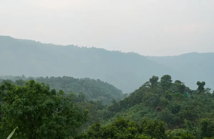
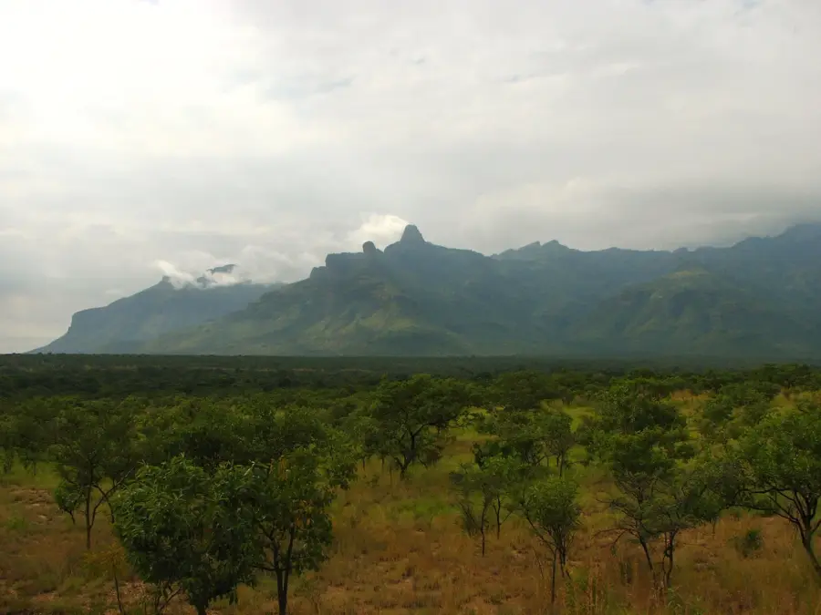
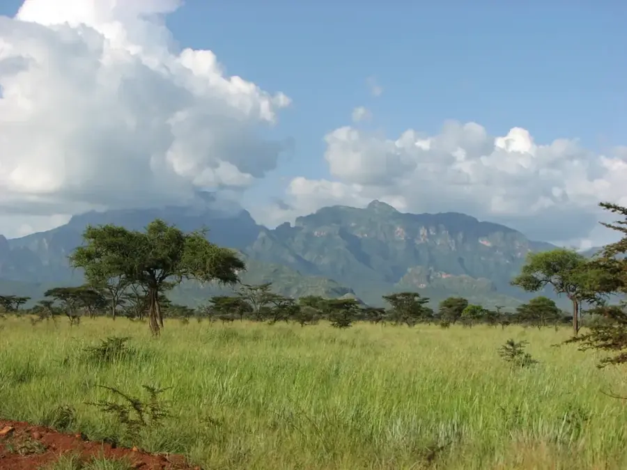
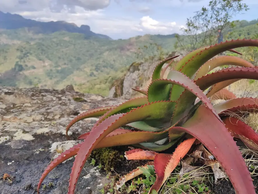
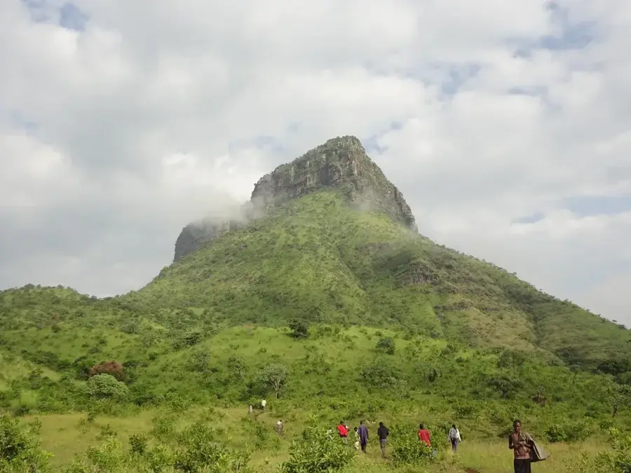
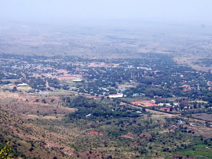
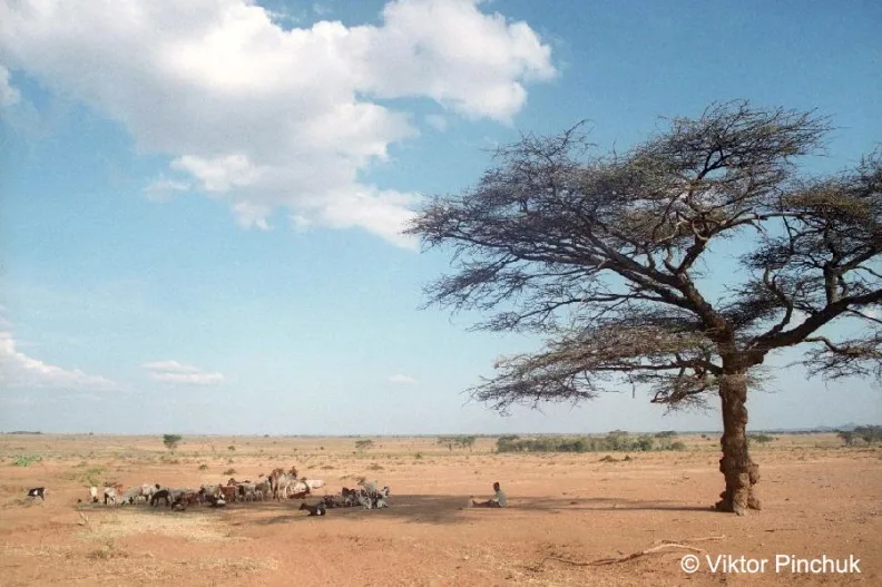
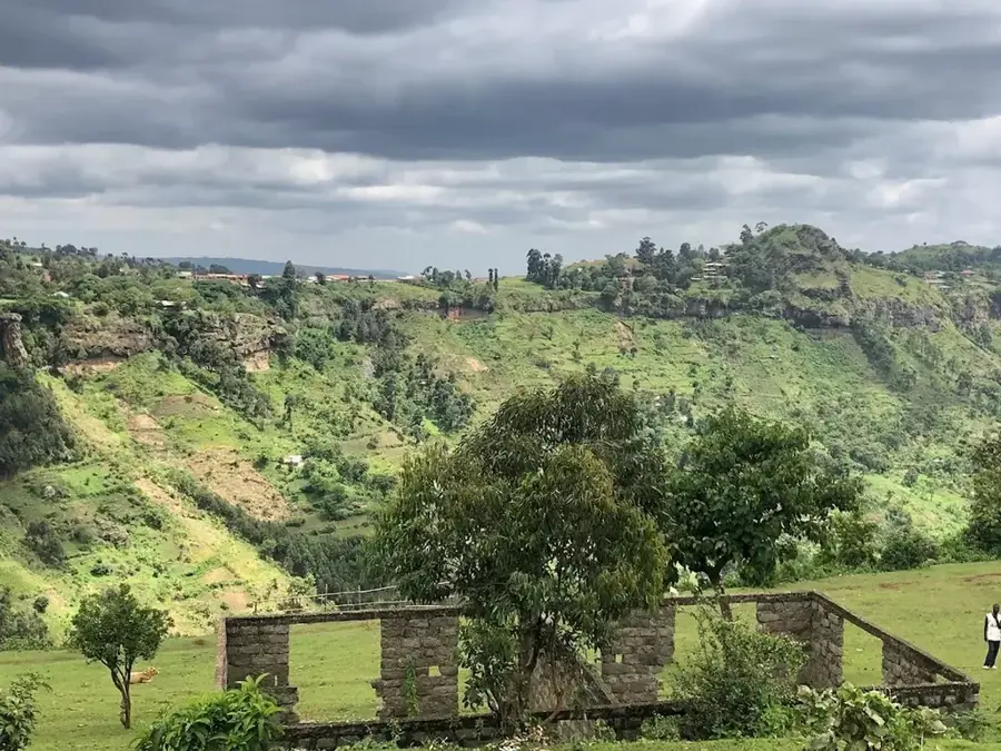
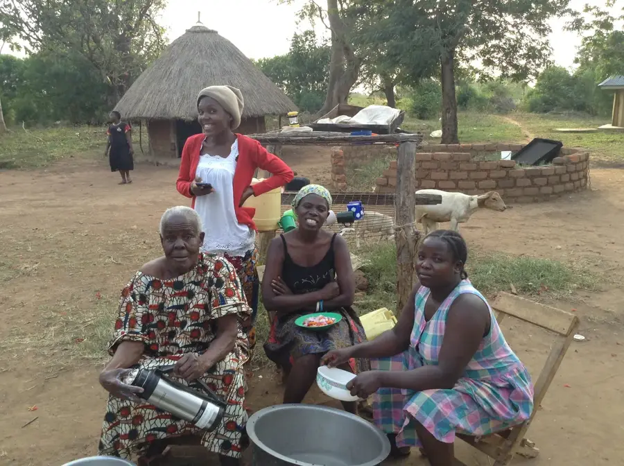
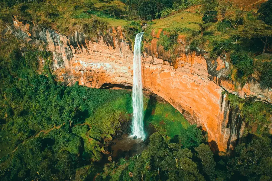
Mount Napak is a large extinct volcano located in the Karamoja region of northeastern Uganda, close to the border with Katakwi District. Standing at approximately 2,538 meters, it is one of the oldest and most heavily eroded volcanoes in the Napak volcanic chain, which also includes Mount Kadam and Mount Moroto. Its origins date back to the late Oligocene or early Miocene. The mountain is particularly renowned for its large ring complex of carbonatite and other unusual alkaline rocks. This complex, exposed by prolonged erosion, is of great interest to geologists and is a source of minerals like apatite and vermiculite. The slopes of Mount Napak are covered in savanna woodland, and the mountain serves as an important water catchment area in the otherwise dry region. It provides a habitat for various wildlife species, including primates like baboons and vervet monkeys. The surrounding areas are inhabited by the Karamojong and Iteso peoples, who use the mountain for grazing, cultivation, and other resources, leading to ecological pressures on the mountain's ecosystem.
- Location: Uganda
- Nearby: Moroto (51 km)
Best time to visit & climate
The most pleasant time to visit is Jan, Nov, Dec.
| Jan | Feb | Mar | Apr | May | Jun | Jul | Aug | Sep | Oct | Nov | Dec | |
|---|---|---|---|---|---|---|---|---|---|---|---|---|
| Avg °C | 26 | 27 | 27 | 26 | 25 | 24 | 23 | 23 | 24 | 25 | 24 | 25 |
| Rain mm | 15 | 17 | 43 | 89 | 114 | 85 | 94 | 120 | 111 | 85 | 56 | 34 |
📋 Practical info
Geography
Facts
- Mount Napak's elevation is approximately 2,538 meters (8,327 feet).
- The volcano is around 30 million years old, dating back to the Oligocene.
- It is renowned for one of the world's largest carbonatite complexes.
- Fossils of early Miocene hominoids have been found near the mountain.
- The volcano's base diameter is approximately 30 kilometers.
- The mountain is a significant source of vermiculite minerals in Uganda.
- Erosion has exposed the central volcanic vent and ring dyke complex.
Explore nearby
Notable places around
Route planner — Car & Motorhome
Where do you start? We build the route here, with stops and country notes along the way.
© OpenStreetMap contributors · OpenRouteService
Sights in the town Mount Napak (1)
Sights nearby
Frequently asked questions
Is Mount Napak a popular destination for mountain climbers?
Do I need a permit for Mount Napak?
Is the climb dangerous?
Are there drinking water sources at Mount Napak?
What gear do I need for the mountain?
Mount Napak: where is it located?
Mount Napak: when is the best time to visit?
Mount Napak: why is it worth visiting?

Nearby cities
More places