Plizio Visual Lab
Mount Kadam Foothills
Weather…
Water temperature…
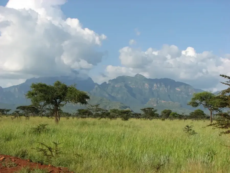
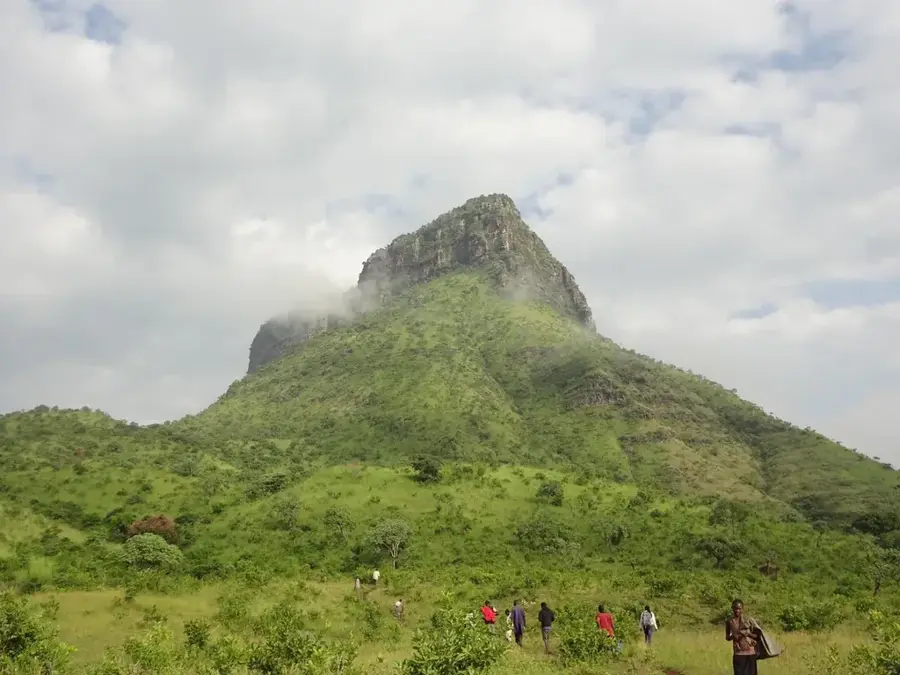
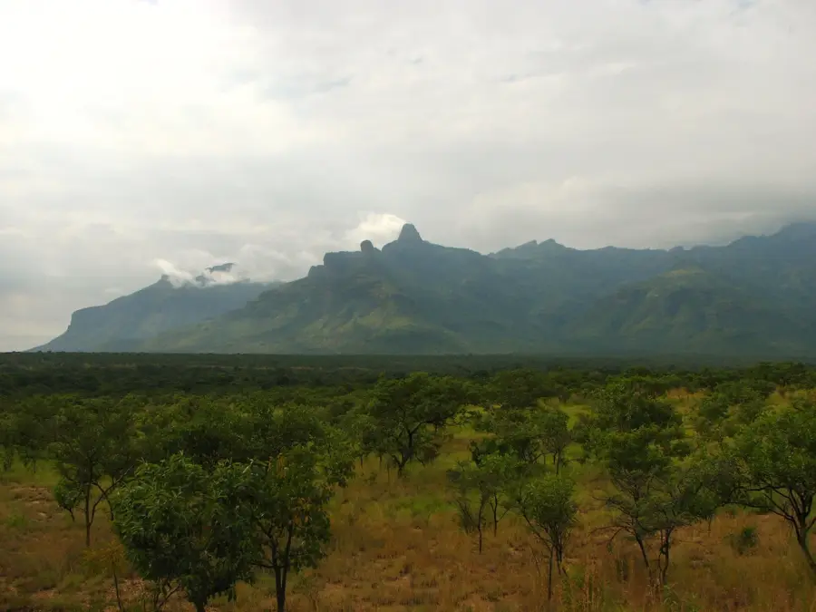
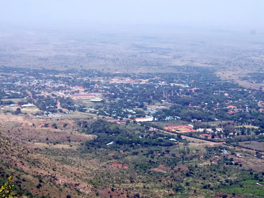
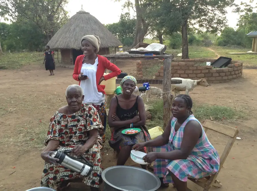
The foothills of Mount Kadam form the transitional zone between the arid Karamoja plains and the higher, more humid slopes of Mount Kadam, an extinct volcano in northeastern Uganda. This region is characterized by gentle slopes and a diverse landscape, ranging from acacia-dominated bushland to riparian woodland. The foothills are of critical economic and ecological importance to local populations, primarily the pastoralist Karamojong and the agriculturalist Kadam (a sub-group of the Tepeth people). They provide essential dry-season grazing grounds for livestock and also host small-scale agricultural plots where drought-tolerant crops like sorghum and maize are grown. Geologically, the foothills are composed of volcanic soils that are more fertile than the sandy soils of the plains, which explains their agricultural significance. This area is also a corridor for wildlife moving between the mountain forest and the savannas. The interaction between pastoralist and agriculturalist livelihoods in the foothills creates a complex socio-economic dynamic.
- Location: Uganda
- Nearby: Kapchorwa (40 km)
Best time to visit & climate
The most pleasant time to visit is Jan, Nov, Dec.
| Jan | Feb | Mar | Apr | May | Jun | Jul | Aug | Sep | Oct | Nov | Dec | |
|---|---|---|---|---|---|---|---|---|---|---|---|---|
| Avg °C | 26 | 27 | 27 | 26 | 25 | 24 | 23 | 23 | 24 | 25 | 24 | 25 |
| Rain mm | 15 | 17 | 43 | 89 | 114 | 85 | 94 | 120 | 111 | 85 | 56 | 34 |
📋 Practical info
Geography
Facts
- The foothills mark the transition from savanna to mountain forest.
- Altitude typically ranges from 1,200 to 1,600 meters.
- The soils are of volcanic origin and are relatively fertile.
- They are crucial dry-season grazing areas for Karamojong cattle.
- The Kadam people, a sub-group of the Tepeth, practice agriculture here.
- Crops grown are mainly sorghum and maize.
- The area serves as an important wildlife corridor.
- Mount Kadam itself is an extinct volcano rising to over 3,000 meters.
Explore nearby
Notable places around
Route planner — Car & Motorhome
Where do you start? We build the route here, with stops and country notes along the way.
© OpenStreetMap contributors · OpenRouteService
Sights nearby
Frequently asked questions
What is there to see at the Mount Kadam foothills?
Is the region easily accessible?
Can you hike there?
Are there accommodation options?
When is the best time for a visit?
Mount Kadam Foothills: where is it located?
Mount Kadam Foothills: when is the best time to visit?
Mount Kadam Foothills: why is it worth visiting?

Nearby cities


More places