Plizio Visual Lab
Mount Akiyo Slopes

Weather…
Water temperature…
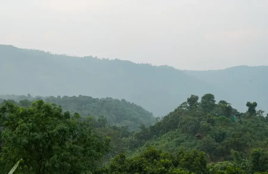
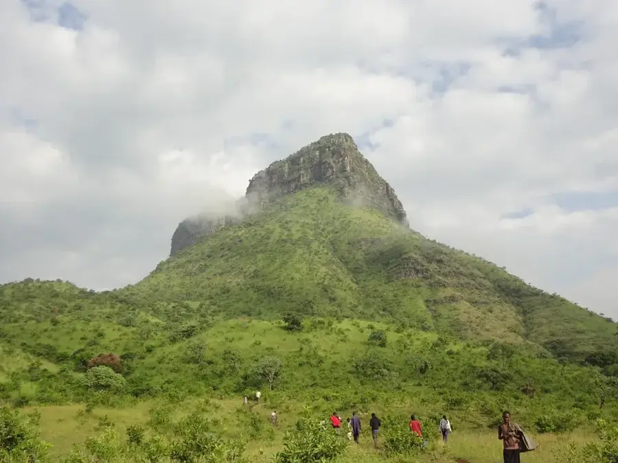
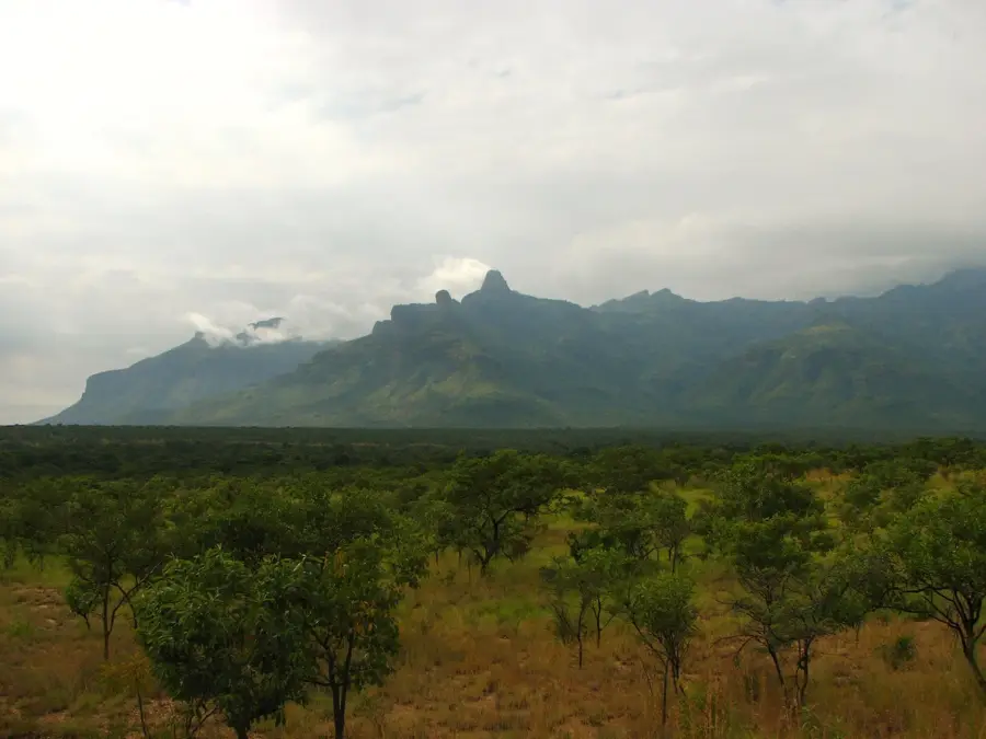
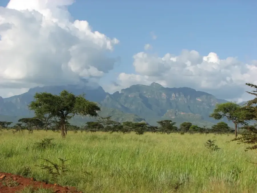
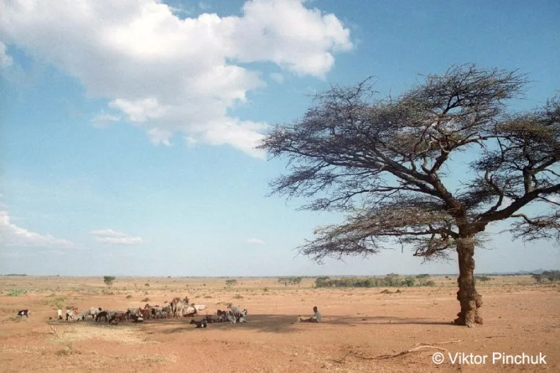
The slopes of Mount Akiyo, in the Karamoja region of northeastern Uganda, display a distinct ecological gradient from its base to its summit. Rising steeply from the savanna, these slopes capture more moisture than the surrounding plains, creating a diversity of habitats. The lower slopes are often characterized by Acacia-Commiphora bushland, which gradually transitions into dry montane forest at higher elevations. This tiered vegetation is crucial for local livelihoods. The Tepeth people, an indigenous group who inhabit the slopes, practice a mix of agriculture and pastoralism, utilizing the more fertile soils and higher rainfall to grow crops like sorghum and millet. The slopes also provide important grazing grounds, especially during the dry season when the grass in the plains withers. The topography is rugged, with deep ravines carved by seasonal streams during the rainy season. These streams are vital sources of water. The slopes of Mount Akiyo are therefore not just a geographical feature but a dynamic system supporting human life and biodiversity in an otherwise arid landscape.
- Location: Uganda
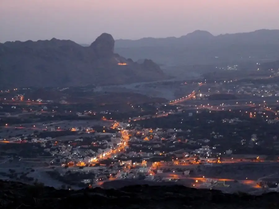
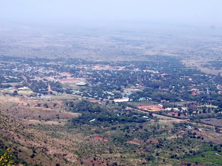
- Nearby: Moroto (37 km)
Best time to visit & climate
The most pleasant time to visit is Jan, Nov, Dec.
| Jan | Feb | Mar | Apr | May | Jun | Jul | Aug | Sep | Oct | Nov | Dec | |
|---|---|---|---|---|---|---|---|---|---|---|---|---|
| Avg °C | 25 | 27 | 27 | 25 | 24 | 24 | 23 | 23 | 24 | 25 | 24 | 24 |
| Rain mm | 11 | 9 | 34 | 78 | 100 | 79 | 84 | 100 | 79 | 70 | 48 | 33 |
📋 Practical info
Geography
Facts
- The slopes display a clear vegetation gradient with altitude.
- The lower slopes are covered in Acacia-Commiphora bushland.
- The upper slopes host dry montane forests.
- The Tepeth people cultivate sorghum and millet on the slopes.
- The slopes are important dry-season grazing areas.
- Soils on the slopes are more fertile than those of the plains.
- Seasonal streams running off the slopes are vital water sources.
- The mountain and its slopes are an example of an inselberg ecosystem.
Explore nearby
Notable places around
Route planner — Car & Motorhome
Where do you start? We build the route here, with stops and country notes along the way.
© OpenStreetMap contributors · OpenRouteService
Sights nearby
Frequently asked questions
What is there to do on the Mount Akiyo slopes?
Is the terrain child-friendly?
How is the access?
Are there restroom facilities there?
What is the best travel season?
Mount Akiyo Slopes: where is it located?
Mount Akiyo Slopes: when is the best time to visit?
Mount Akiyo Slopes: why is it worth visiting?

Nearby cities
More places