Plizio Visual Lab
Napak Foothills
Weather…
Water temperature…
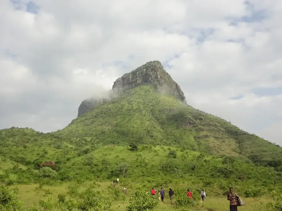
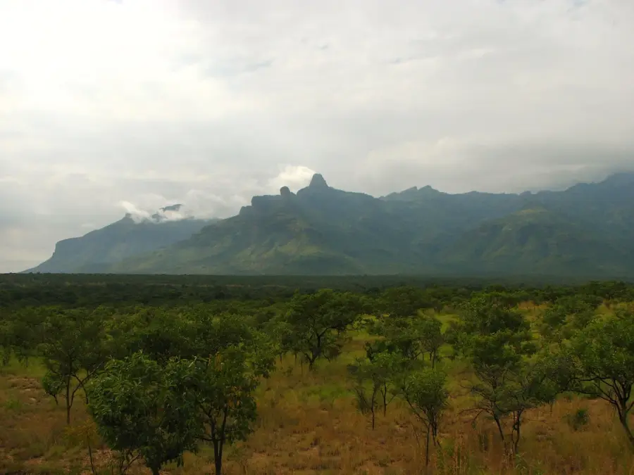
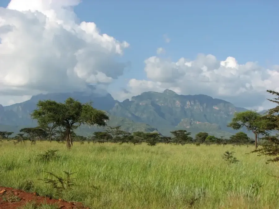
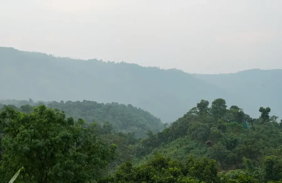
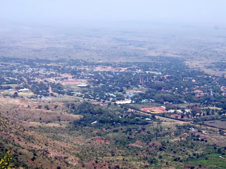
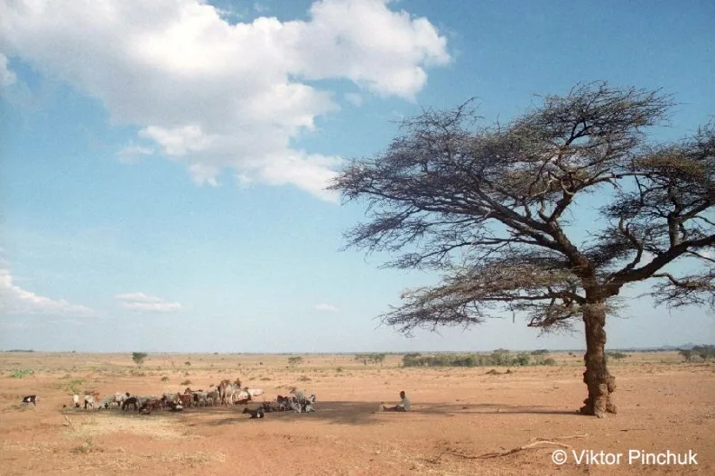
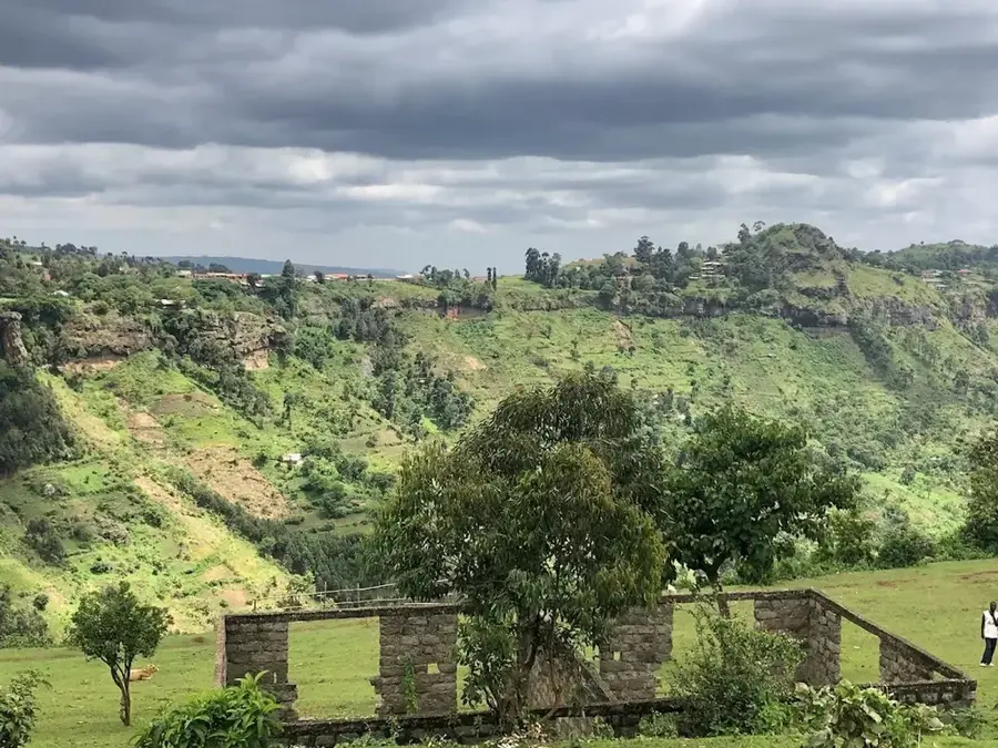
The foothills of Mount Napak are located at the base of an ancient, heavily eroded volcano in Uganda's Karamoja sub-region. This zone forms a critical transition between the flat, arid plains and the steep, forested slopes of the mountain proper. The foothills are characterized by gently rolling terrain, scattered rock outcrops, and vegetation that varies between savanna grassland and open woodland. Geologically, Napak is notable for its carbonatite intrusions and associated rich Miocene-era fossil beds, which have yielded some of the earliest hominoid remains in Africa. The soils of the foothills, derived from volcanic material, are more fertile than those of the surrounding area, supporting a mix of pastoral use by the Karamojong and subsistence agriculture. Communities grow drought-resistant crops like sorghum and use the area for cattle grazing. The foothills also serve as a buffer zone for the forest reserve on the main mountain, providing essential resources like firewood and medicinal plants, which leads to complex interactions between conservation efforts and local livelihoods.
- Location: Uganda
- Nearby: Moroto (44 km)
Best time to visit & climate
The most pleasant time to visit is Jan, Nov, Dec.
| Jan | Feb | Mar | Apr | May | Jun | Jul | Aug | Sep | Oct | Nov | Dec | |
|---|---|---|---|---|---|---|---|---|---|---|---|---|
| Avg °C | 25 | 27 | 27 | 25 | 24 | 24 | 23 | 23 | 24 | 25 | 24 | 24 |
| Rain mm | 11 | 9 | 34 | 78 | 100 | 79 | 84 | 100 | 79 | 70 | 48 | 33 |
📋 Practical info
Geography
Facts
- Mount Napak is a heavily eroded carbonatite volcano.
- The area is famous for its rich Miocene-era fossil beds.
- Remains of the early hominoid Proconsul have been found here.
- The foothills serve as grazing land for Karamojong cattle.
- The altitude of the foothills ranges from 1,100 to 1,400 meters.
- The volcanic soils are relatively fertile for this arid region.
- The vegetation is a mix of savanna grassland and acacia woodland.
- The volcano is approximately 20 million years old.
Explore nearby
Notable places around
Route planner — Car & Motorhome
Where do you start? We build the route here, with stops and country notes along the way.
© OpenStreetMap contributors · OpenRouteService
Sights nearby
Frequently asked questions
What characterizes the Napak foothills?
Are there tourist trails there?
Is the region safe?
What is the best season?
Do you need a guide?
Napak Foothills: where is it located?
Napak Foothills: when is the best time to visit?
Napak Foothills: why is it worth visiting?

Nearby cities
More places