Plizio Visual Lab
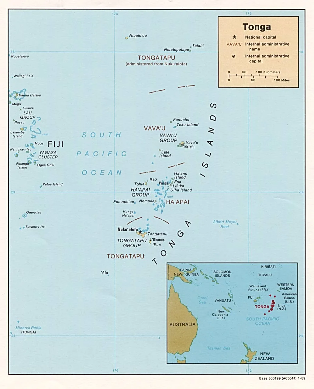
Niuafo'ou

Weather…
Water temperature…
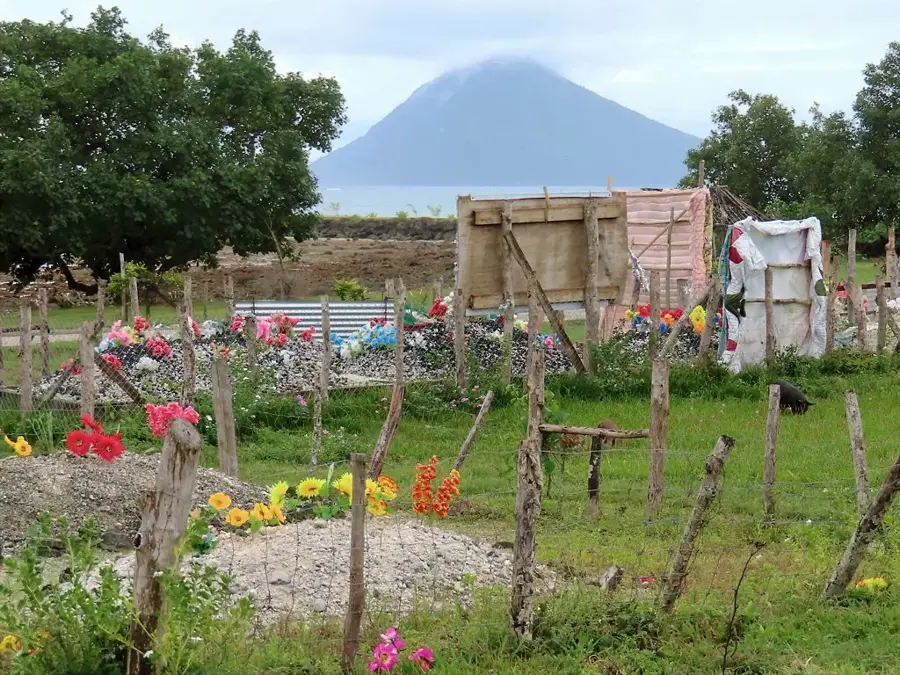
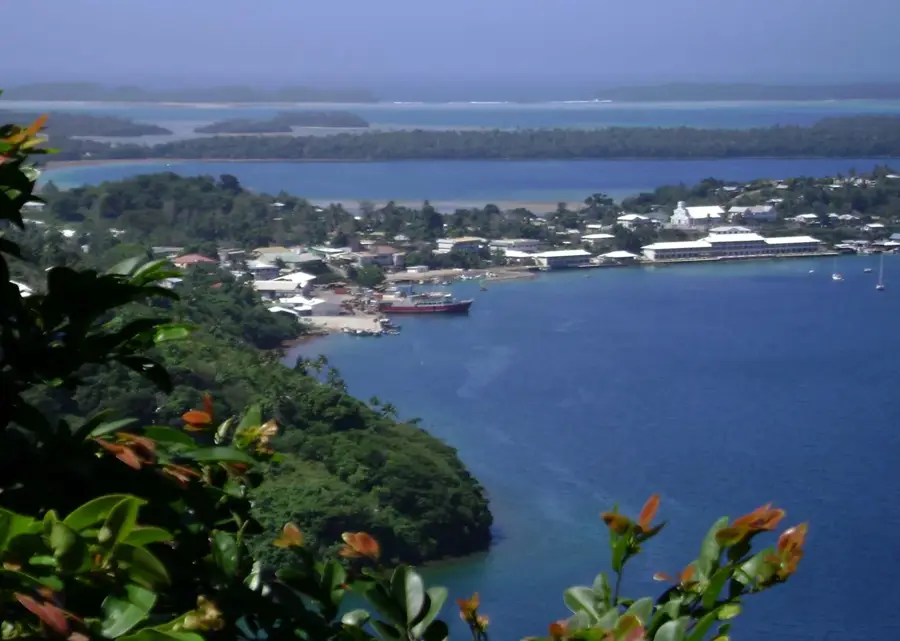
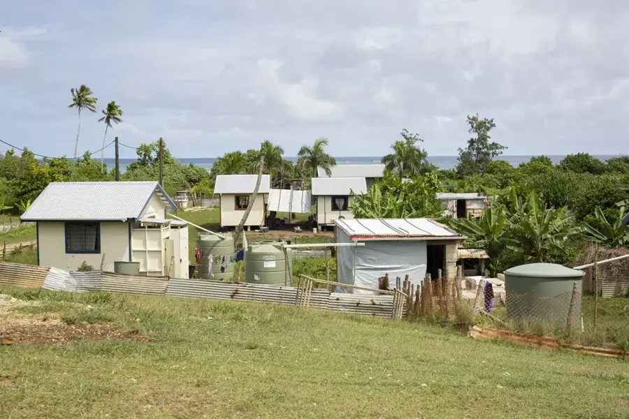
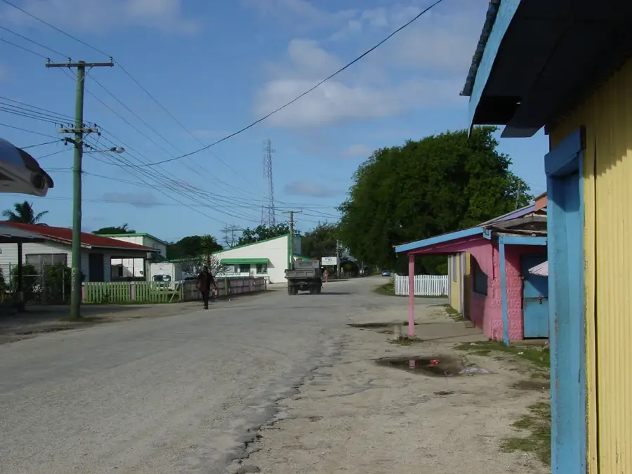
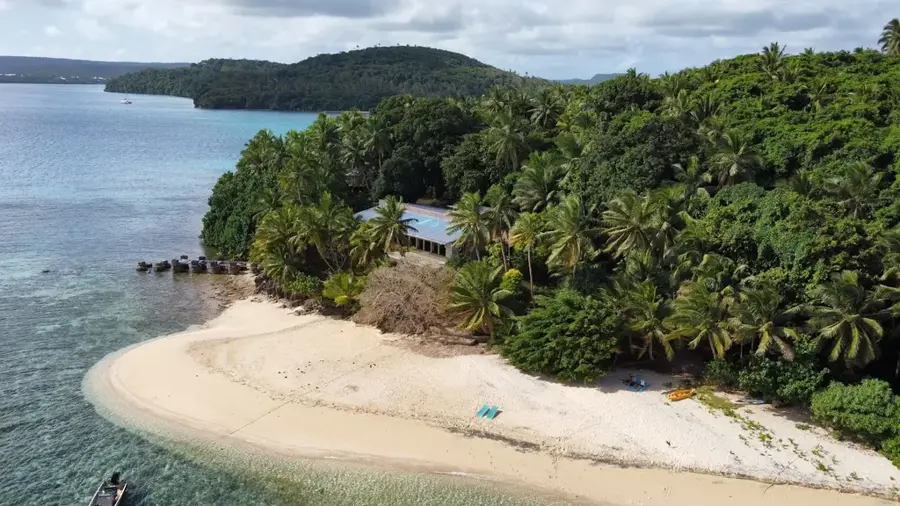
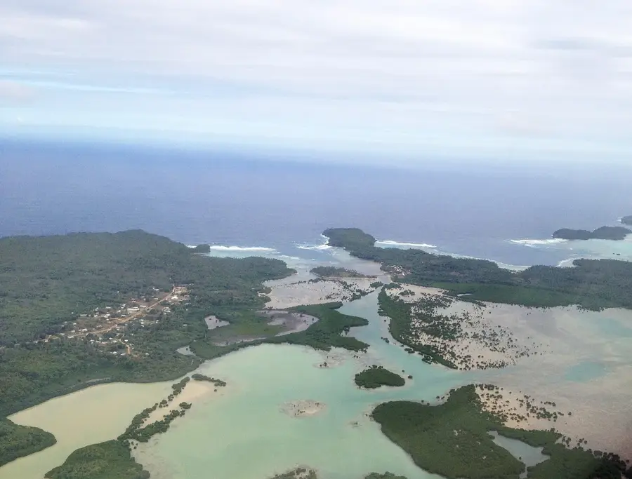
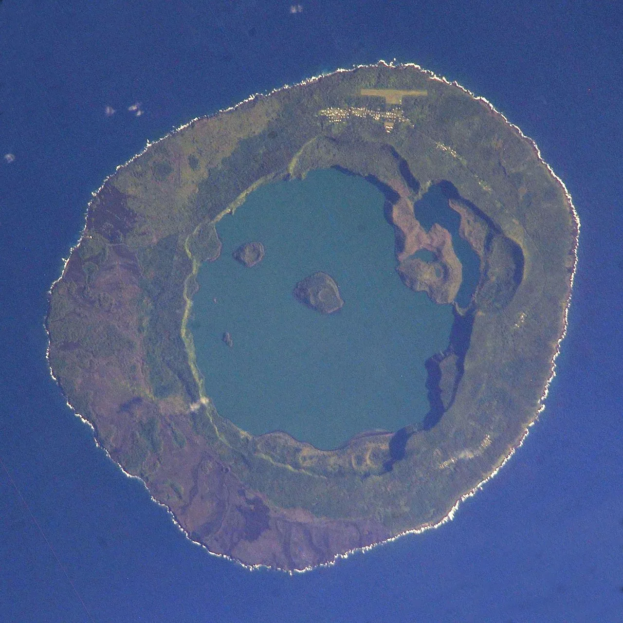
Niuafo'ou, famously known as "Tin Can Mail Island," is the northernmost island of the Kingdom of Tonga and constitutes a remarkable geological feature consisting of a large circular caldera with several deep crater lakes at its heart. The island is essentially the summit of an active underwater volcano, with its main lake, Vai Lahi, occupying a significant portion of the interior and surrounded by steep, verdant ridges that separate the inhabited outer rim from the aquatic center. Residents live in several villages located along the northern and eastern shores, where the volcanic soil is exceptionally fertile, supporting the growth of copra and traditional food crops despite the ever-present threat of seismic activity. The island's unique nickname stems from a historical practice where mail was delivered in sealed biscuit tins by swimmers who braved the surf to reach passing ships, a necessity created by the lack of any safe anchorage for large vessels. Niuafo'ou is also of great ecological significance as the primary home of the rare Niuafo'ou megapode, a bird that utilizes the island's geothermal heat to incubate its eggs in the warm volcanic sand. Although a devastating eruption in 1946 led to the temporary relocation of the entire population to southern islands, many families eventually returned, drawn back by the strong cultural ties and the bountiful natural resources of their volcanic home.
- Location: Tonga
- Top sights: Former site of Angaha village · Piu 'o Fahefa
Best time to visit & climate
The most pleasant time to visit is Jul–Sep.
| Jan | Feb | Mar | Apr | May | Jun | Jul | Aug | Sep | Oct | Nov | Dec | |
|---|---|---|---|---|---|---|---|---|---|---|---|---|
| Avg °C | 28 | 28 | 28 | 28 | 28 | 27 | 27 | 26 | 27 | 27 | 27 | 28 |
| Rain mm | 273 | 226 | 214 | 192 | 150 | 127 | 53 | 65 | 85 | 154 | 175 | 257 |
📋 Practical info
Geography
Facts
- Location: Northernmost island of Tonga
- Main Lake: Vai Lahi (depth approx. 84 meters)
- Diameter: approximately 8 kilometers
- Fame: "Tin Can Mail" delivery system
- Seismic History: Major eruption in 1946
- Fauna: Primary home of the Niuafo'ou megapode bird
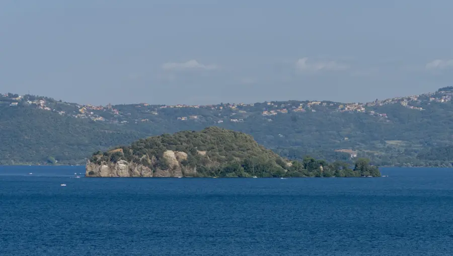
Explore nearby
Notable places around
Route planner — Car & Motorhome
Where do you start? We build the route here, with stops and country notes along the way.
© OpenStreetMap contributors · OpenRouteService
Sights in the town Niuafo'ou (2)
Sights nearby
Frequently asked questions
What is special about Niuafo'ou?
Can you visit the crater lake?
Is the island safe from volcanic eruptions?
How do you get to Niuafo'ou?
What should you consider when visiting?
Niuafo'ou: where is it located?
Niuafo'ou: what is there to see?
Niuafo'ou: when is the best time to visit?
Niuafo'ou: why is it worth visiting?

Nearby cities


History & landmarks

Nature


More places