Plizio Visual Lab
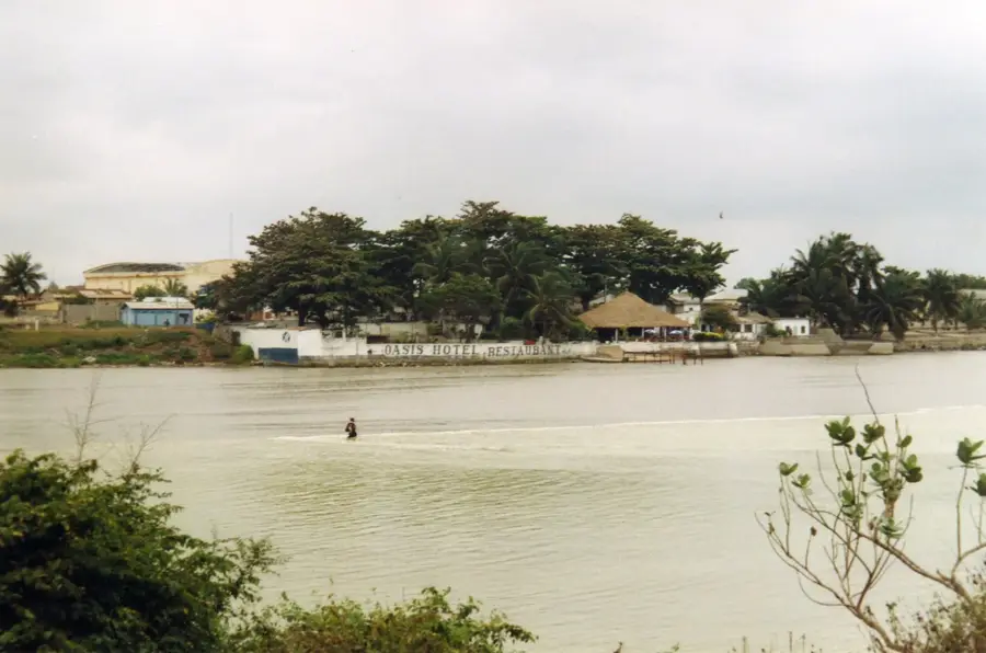
Haho River
Weather…
Water temperature…
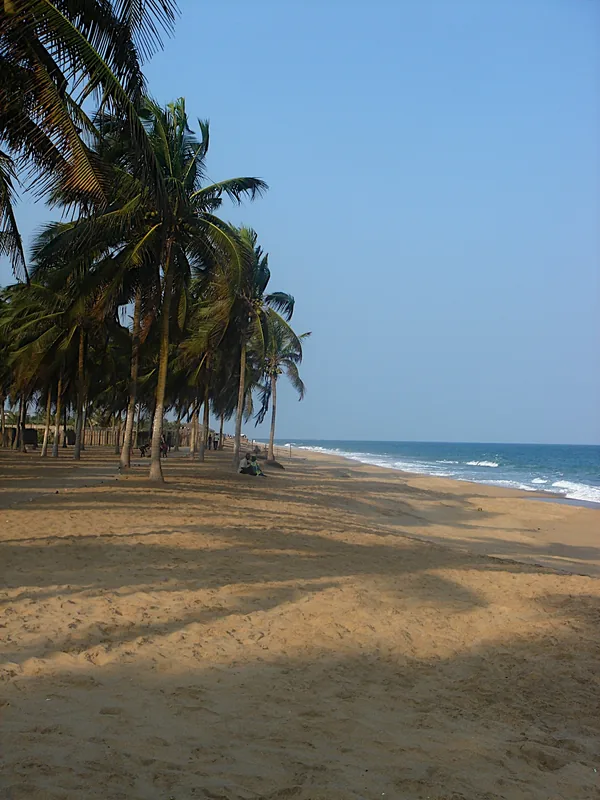
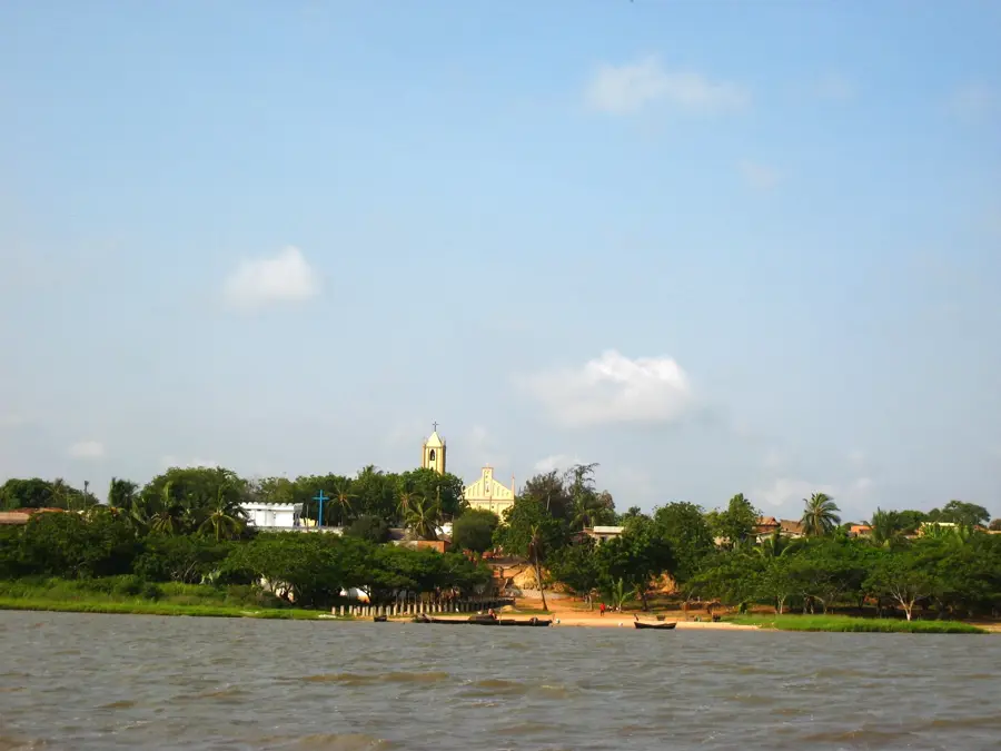
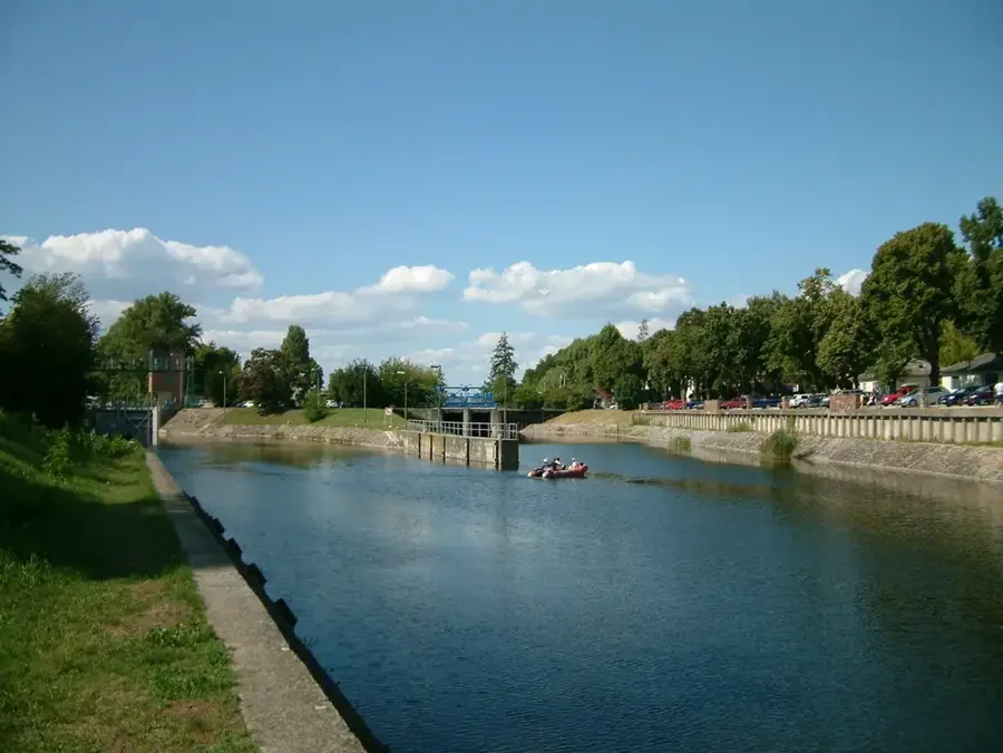
The Haho River is a significant waterway in southern Togo, playing a central role in the hydrology of the Maritime Region. It originates in the highlands north of Notse and flows for approximately 140 kilometers in a southerly direction before emptying into Lake Togo. Historically, the Haho basin is closely linked to the migration of the Ewe people, who settled in this fertile region around the 17th century. The riverbanks are characterized by gallery forests and agricultural lands where maize, cassava, and oil palms are primarily cultivated. The river's water level fluctuates considerably due to seasonal rainfall, which influences local fishing and irrigation patterns. Near its mouth, the river forms a complex ecosystem of brackish water and mangroves, serving as a breeding ground for numerous bird species. Today, the Haho represents a vital resource for drinking water supply and small-scale farming in the Plateaux and Maritime regions.
- Location: Togo
- Nearby: Tsévié (10 km)
Best time to visit & climate
The most pleasant time to visit is Jan, Nov, Dec.
| Jan | Feb | Mar | Apr | May | Jun | Jul | Aug | Sep | Oct | Nov | Dec | |
|---|---|---|---|---|---|---|---|---|---|---|---|---|
| Avg °C | 27 | 29 | 28 | 28 | 27 | 26 | 25 | 25 | 25 | 26 | 27 | 27 |
| Rain mm | 14 | 31 | 77 | 105 | 148 | 172 | 144 | 95 | 168 | 138 | 35 | 15 |
📋 Practical info
Geography
Facts
- Total length of the river is approximately 140 kilometers
- Empties into Lake Togo, the country's largest lagoon
- Primary water source for the city of Notse
- The drainage basin covers about 2,600 square kilometers
- Fish species such as tilapia are common in the lower sections
- Seasonal flooding naturally fertilizes surrounding farmlands
Explore nearby
Notable places around
Route planner — Car & Motorhome
Where do you start? We build the route here, with stops and country notes along the way.
© OpenStreetMap contributors · OpenRouteService
Sights nearby
Frequently asked questions
Is it safe to visit the Haho River?
When is the river most beautiful?
Can you go kayaking there?
Are there dangerous animals in the river?
Where are the best access points?
Haho River: where is it located?
Haho River: when is the best time to visit?
Haho River: why is it worth visiting?

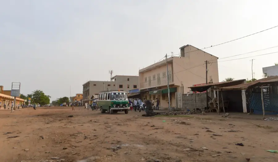
Nearby cities


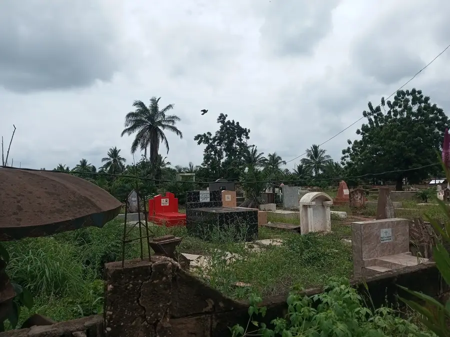
History & landmarks


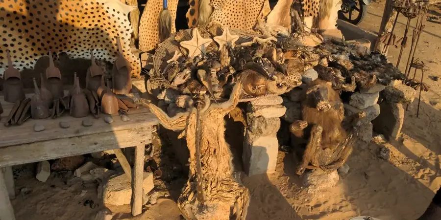
Nature
More places