Plizio Visual Lab
Mount Hiyaga

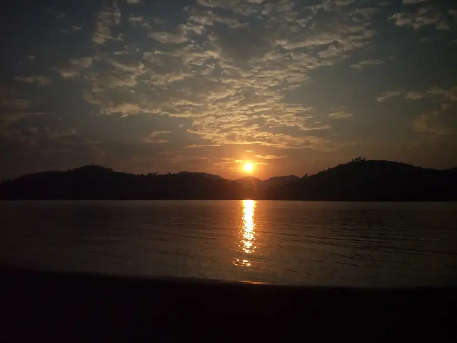
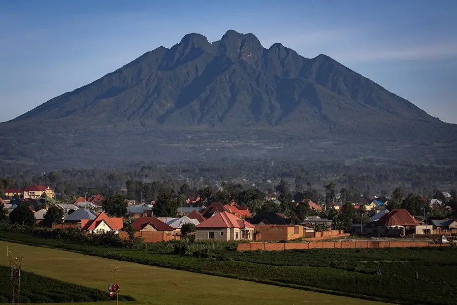
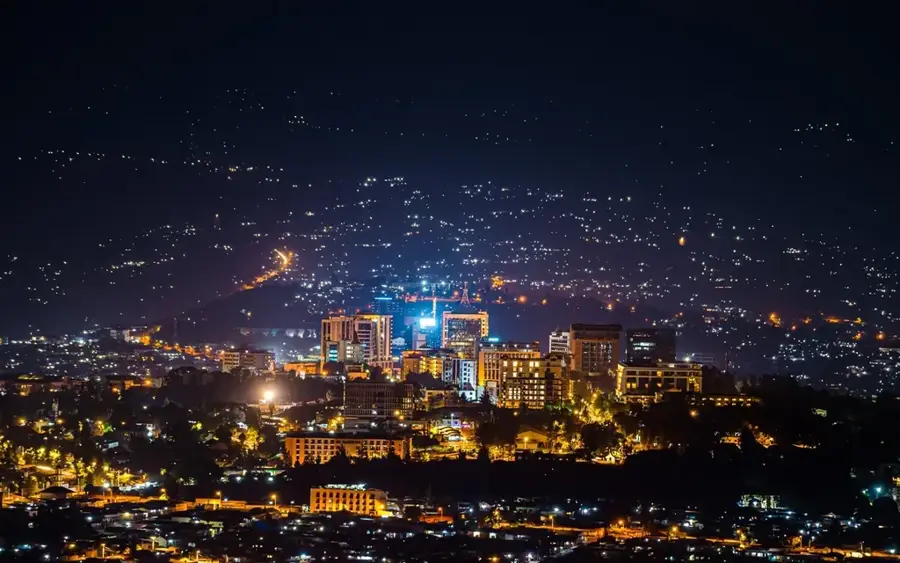
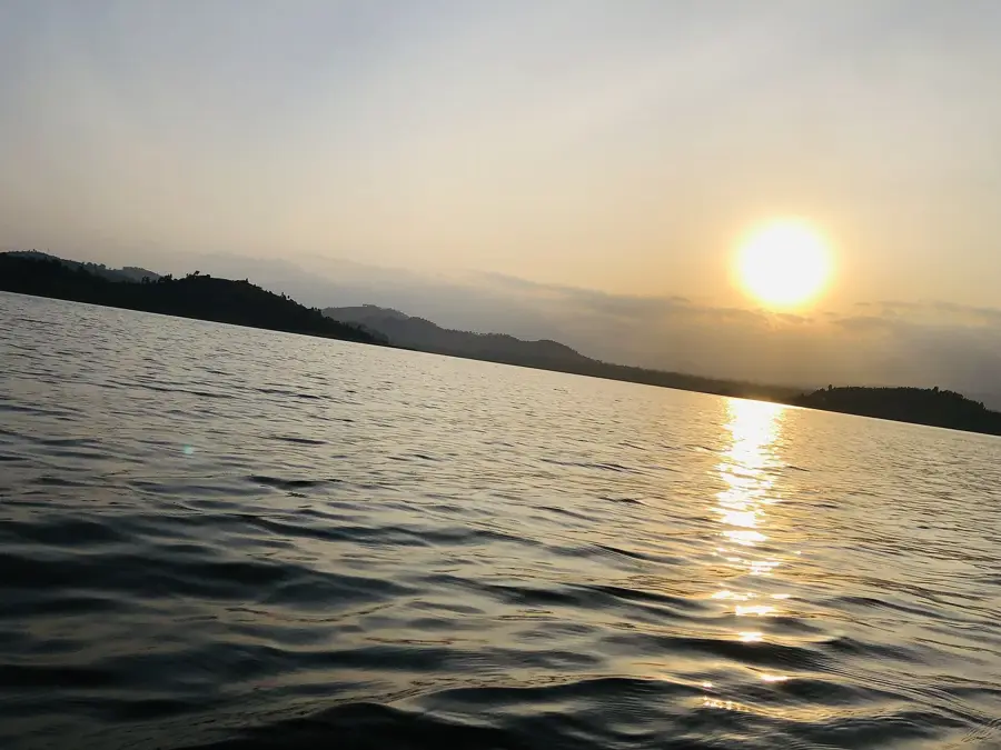
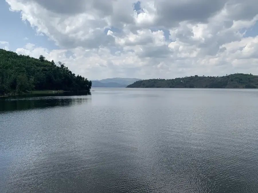
Mount Hiyaga is a prominent elevation in southern Rwanda, geographically forming part of the country's central plateau. The mountain is characterized by steep slopes and intensive agricultural cultivation that extends to high altitudes, a feature typical of Rwanda's densely populated regions. Due to its strategic location, the summit provides sweeping views over the rolling hills of the Southern Province, stretching as far as the wetlands of the Akanyaru River. Geologically, the massif is primarily composed of metamorphic rock, shaped by erosion over millions of years. The vegetation on Mount Hiyaga is now heavily influenced by human activity, with remnants of original forest found only in the most inaccessible ravines. Historically, the mountain held significance in local lore and served as a crucial landmark for travelers and trade routes between central Rwanda and Burundi. Current reforestation efforts on the slopes aim to curb soil erosion and enhance the water retention capacity of the mountain massif.
- Location: Rwanda
- Top sights: ibuye rya bagenge · Mount Kabuye
- Nearby: Gakenke (5 km)
Best time to visit & climate
The most pleasant time to visit is Jun–Aug.
| Jan | Feb | Mar | Apr | May | Jun | Jul | Aug | Sep | Oct | Nov | Dec | |
|---|---|---|---|---|---|---|---|---|---|---|---|---|
| Avg °C | 18 | 19 | 18 | 18 | 17 | 17 | 17 | 17 | 18 | 18 | 18 | 18 |
| Rain mm | 100 | 108 | 173 | 193 | 164 | 67 | 46 | 75 | 113 | 160 | 176 | 126 |
📋 Practical info
Geography
Facts
- The summit of Mount Hiyaga exceeds 2,000 meters in elevation.
- The mountain is located in the Nyanza District, near the historic royal city.
- Coffee and maize are the primary crops grown on its slopes.
- The geological formation belongs to the Precambrian Kibara belt.
- The annual average temperature in the area is around 19 degrees Celsius.
- Numerous springs at the base provide water for local communities.
Explore nearby
Notable places around
Route planner — Car & Motorhome
Where do you start? We build the route here, with stops and country notes along the way.
© OpenStreetMap contributors · OpenRouteService
Sights in the town Mount Hiyaga (2)
Sights nearby
Frequently asked questions
What is Mount Hiyaga?
How long does the ascent take?
Do you need a permit?
Is there a clear hiking path?
Which season is the best?
Mount Hiyaga: where is it located?
Mount Hiyaga: what is there to see?
Mount Hiyaga: when is the best time to visit?
Mount Hiyaga: why is it worth visiting?

Nearby cities

History & landmarks

Nature

More places