Plizio Visual Lab
Sumbawanga

ℹ️Practical info — Sumbawanga
▾
🌤 Weather — 5 days
📍 Nearby
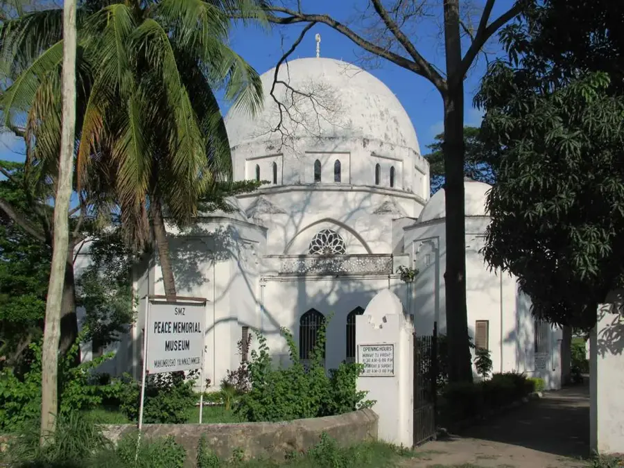
Sights nearby
💡 Tips
- Pack warm clothing, as temperatures can drop significantly at night due to the city's high elevation.
- Travel in a 4x4 vehicle if possible, as the roads across the Ufipa Plateau are often unpaved and rugged.
- Visit the main market on Saturdays when traders from the surrounding rural areas gather.
- Use Sumbawanga as a base for exploring the remote and wild Katavi National Park.
- Carry enough cash, as ATMs can be scarce and sometimes unreliable for international cards.
🍽 Food
Flavorful local free-range chicken, slow-cooked and served at traditional eateries.
The region is famous for its nutritious beans, often served as a thick stew with maize.
A traditional local breakfast dish made from locally grown finger millet.
🛍 Shopping · 🧘 Quiet spots
A great spot for colorful fabrics and fresh agricultural produce from the highlands.
Look for the durable, hand-made baskets crafted by local Ufipa weavers.
Short walks into the nearby hills provide peaceful panoramic views of the plateau.
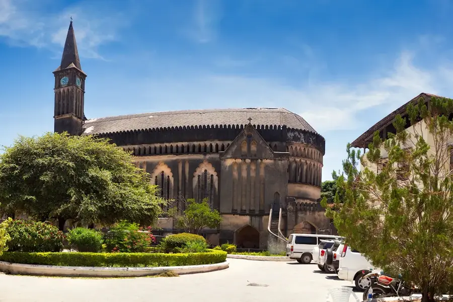
The historic mission areas often feature quiet gardens and a tranquil atmosphere.
Water temperature…
Sumbawanga is the administrative capital of the Rukwa Region, located in the remote southwestern highlands of Tanzania on the Ufipa Plateau. The city sits at a high elevation of approximately 1,800 meters above sea level, providing it with a temperate and pleasant climate throughout the year. The name 'Sumbawanga' literally translates to 'throw away your weapons' in the local Kifipa language, reflecting a historical reputation for peace mediated by local spiritual healers. As a primary agricultural center for the region, the city is a significant producer of maize, rice, and sunflowers, and it serves as a major livestock trading post. Although historically isolated, recent infrastructure improvements connecting it to Mbeya and the Zambian border have boosted its economic growth. The surrounding area is rich in biodiversity and natural landmarks, including Lake Rukwa, Katavi National Park, and the nearby Kalambo Falls, which are among the highest single-drop waterfalls in Africa. The city remains a cultural stronghold for the Fipa people, maintaining deep-rooted traditions alongside modern development.
- Location: Tanzania
- Population: ~303.986 (2026)
Best time to visit & climate
The most pleasant time to visit is May, Aug, Sep.
| Jan | Feb | Mar | Apr | May | Jun | Jul | Aug | Sep | Oct | Nov | Dec | |
|---|---|---|---|---|---|---|---|---|---|---|---|---|
| Avg °C | 20 | 20 | 20 | 20 | 19 | 17 | 17 | 20 | 22 | 23 | 22 | 20 |
| Rain mm | 210 | 167 | 178 | 98 | 13 | 2 | 1 | 3 | 4 | 32 | 150 | 245 |
Geography
Facts
- Sumbawanga is situated at an elevation of 1,800 meters on the Ufipa Plateau.
- The name translates to 'throw away your weapons' in the local Kifipa language.
- The city's population was recorded at approximately 180,000 in the 2022 census.
- It is a key gateway for travelers visiting the remote Katavi National Park.
- The city is connected to the Zambian border at Kaseshya via a major highway.
- Sumbawanga is part of the 'Big Four' regions responsible for Tanzania's grain production.
Explore nearby
Notable places around
Route planner — Car & Motorhome
Where do you start? We build the route here, with stops and country notes along the way.
© OpenStreetMap contributors · OpenRouteService
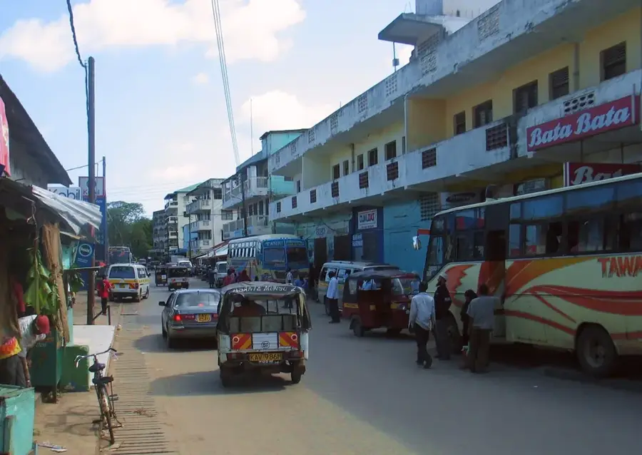
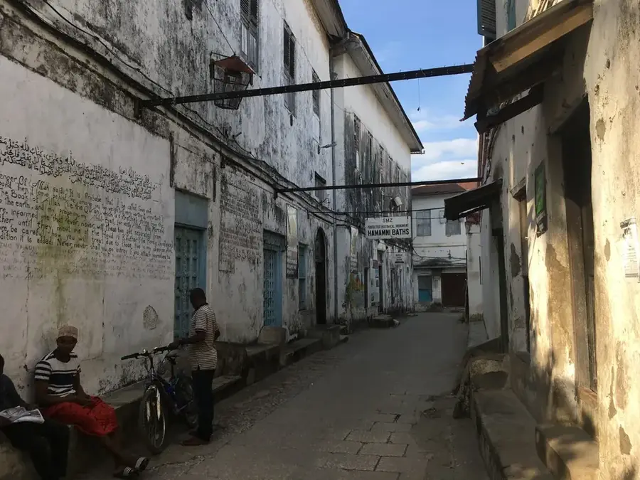
Sights in the town Sumbawanga (1)
Frequently asked questions
What characterizes Sumbawanga?
How long to stay?
Best travel time?
Is it family-friendly?
Is there nature there?
Sumbawanga: where is it located?
Sumbawanga: when is the best time to visit?
Sumbawanga: why is it worth visiting?

History & landmarks

More places