Plizio Visual Lab
Handeni
ℹ️Practical info — Handeni
▾
🌤 Weather — 5 days
📍 Nearby
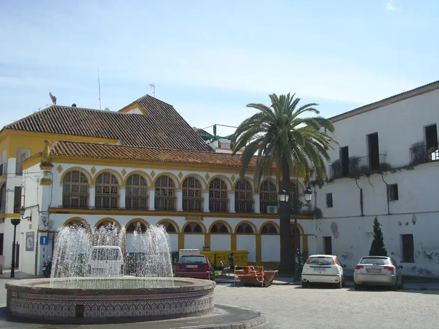
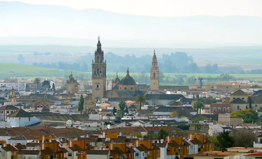
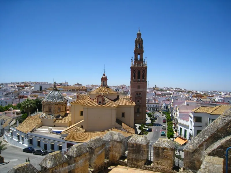
Sights nearby
💡 Tips
- Visit the big Wednesday market to see the bustling trade of the rural community.
- The region is famous for citrus; buy oranges by the bag directly from growers for the best price.
- Expect heavy dust in the dry season or deep mud during rains on the unpaved side roads.
- Always greet people politely; greetings and social etiquette are very important in this community.
- Use Handeni as a practical rest stop when traveling between the coast and the northern highlands.
🍽 Food
Considered the sweetest in the region, these are sold in abundance along the main highway.
Try the freshly grilled meat at the popular stopover points on the outskirts of town.
These small, sweet rice cakes are a well-suited snack to take with you on your journey.
🛍 Shopping · 🧘 Quiet spots
A great place to see maize, beans, and local grains being traded in bulk.
Here you can find small tailor shops that create custom clothing from African prints.
A short walk out of town leads to elevations with views over the surrounding farmland.
Peaceful pathways lead through maize fields, offering quiet away from the transit road.
Water temperature…
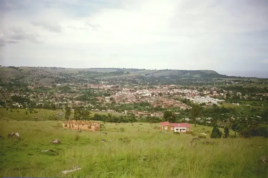
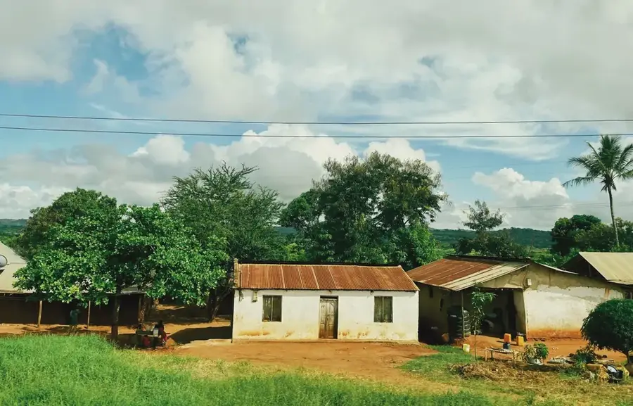
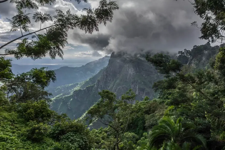
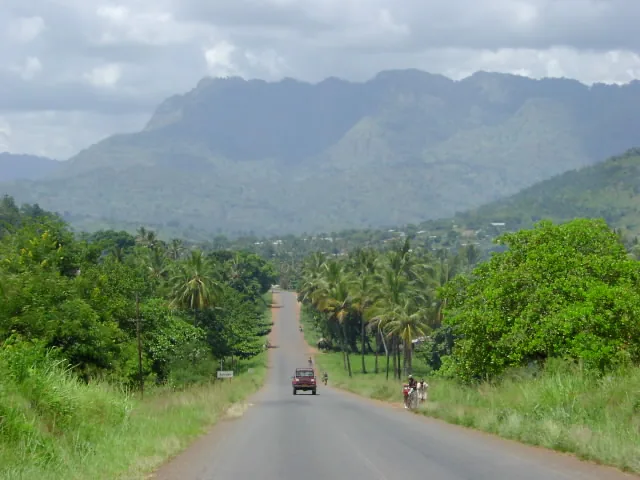
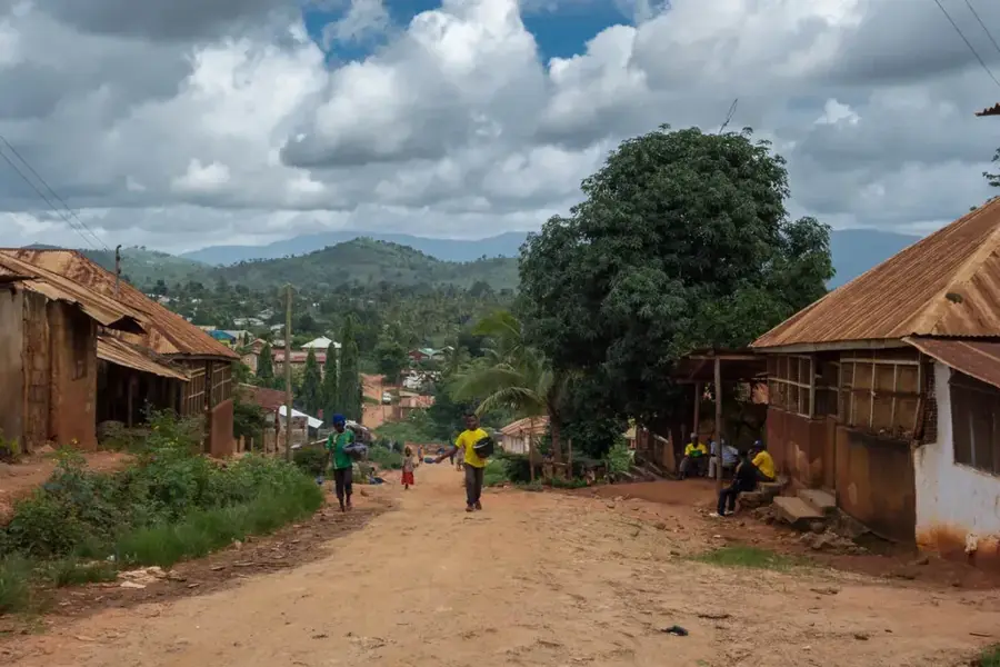
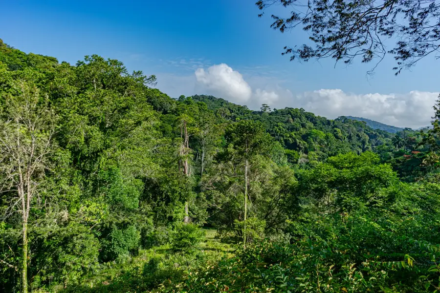
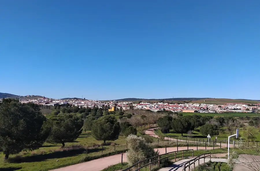
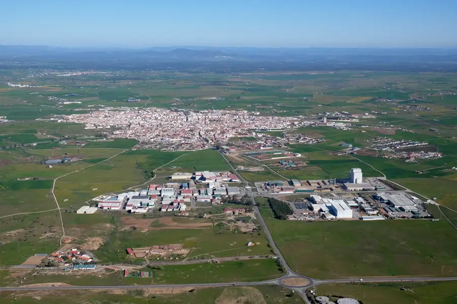
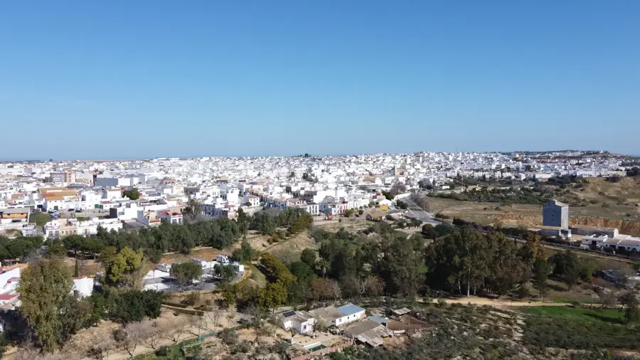
Handeni is a significant district headquarters located in the Tanga Region of northeastern Tanzania. The town is strategically positioned along the road connecting the coastal city of Tanga with the central plateau and the Kilimanjaro Region. Handeni serves as the cultural and social heartland of the Zigua people, whose history and traditions are deeply embedded in the region. The economy is primarily agricultural, with the cultivation of sisal, maize, and pulses playing a central role in local livelihoods. Historically, the surrounding area was a major hub for sisal production during the colonial era. Geographically, Handeni is defined by a hilly landscape featuring dry woodlands and savannahs, characterized by a semi-arid climate. In recent years, small-scale mining, particularly for gemstones and gold, has gained prominence, providing additional economic opportunities for the population. Infrastructure within the town is undergoing steady improvements to accommodate increasing trade traffic. Handeni also acts as an essential service and supply center for the surrounding rural communities.
- Location: Tanzania
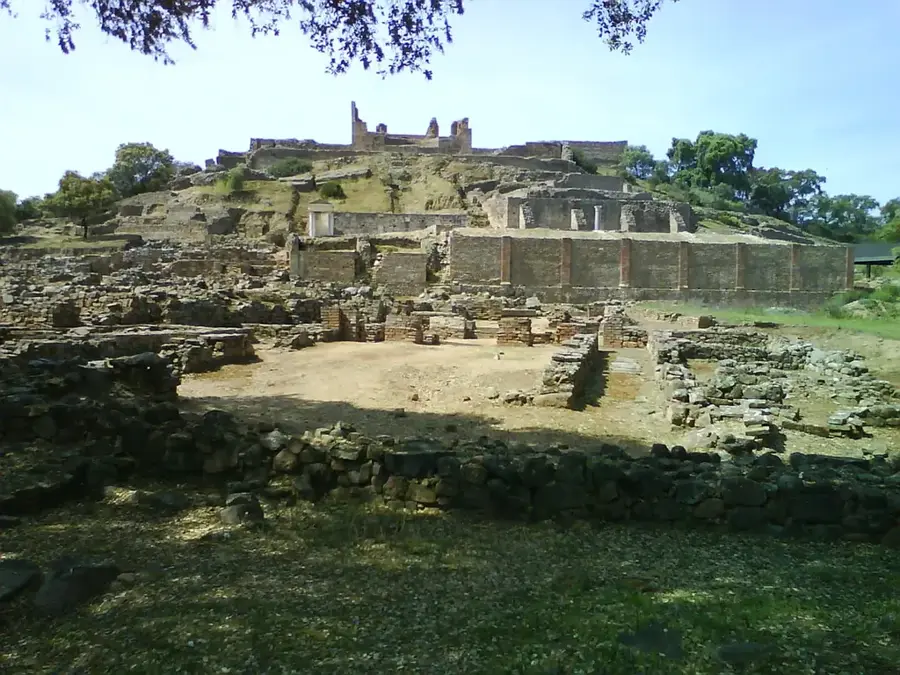
- Top sights: Chanika, Handeni · Handeni Town Council · Mlimani, Handeni
- Nearby: Korogwe (57 km)
- Population: ~108.968 (2024)
Best time to visit & climate
The most pleasant time to visit is Jun–Aug.
| Jan | Feb | Mar | Apr | May | Jun | Jul | Aug | Sep | Oct | Nov | Dec | |
|---|---|---|---|---|---|---|---|---|---|---|---|---|
| Avg °C | 25 | 25 | 25 | 23 | 22 | 21 | 20 | 21 | 23 | 24 | 24 | 25 |
| Rain mm | 116 | 88 | 156 | 288 | 194 | 38 | 29 | 37 | 51 | 136 | 176 | 144 |
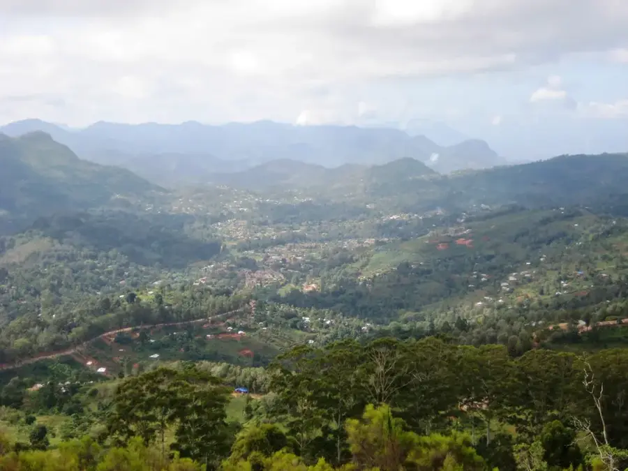
Geography
Facts
- Handeni is the cultural headquarters of the Zigua people.
- The town is located along the link road between Tanga and Korogwe.
- Sisal was historically the primary export commodity of the region.
- As of the 2022 census, Handeni Town Council had a population of 110,033.
- The area is known for its semi-arid climate and dry woodlands.
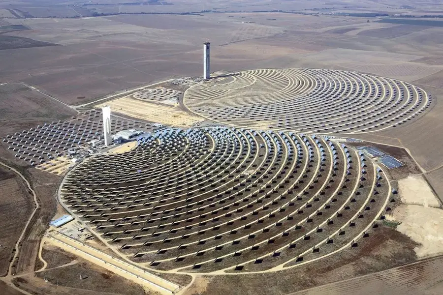
- Small-scale gold mining activities take place in the Handeni district.
Explore nearby
Notable places around
Route planner — Car & Motorhome
Where do you start? We build the route here, with stops and country notes along the way.
© OpenStreetMap contributors · OpenRouteService
Sights in the town Handeni (3)
Frequently asked questions
How long to stay in Handeni?
When to visit Handeni?
How can I get to Handeni?
What to eat here?
Is Handeni family-friendly?
Handeni: where is it located?
Handeni: what is there to see?
Handeni: when is the best time to visit?
Handeni: why is it worth visiting?

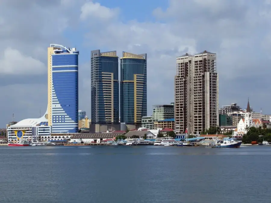
Nearby cities
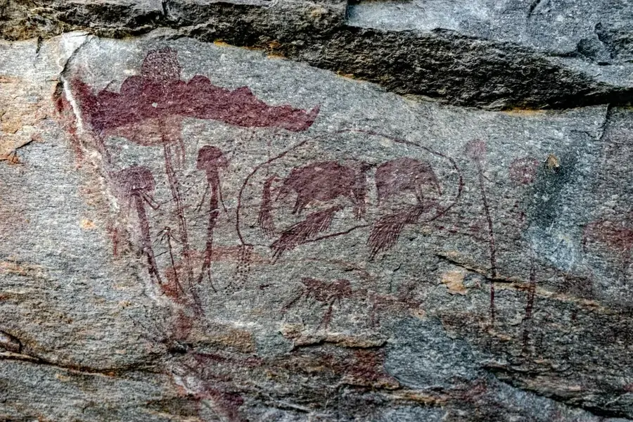
History & landmarks
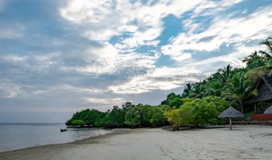
Nature
More places