Plizio Visual Lab
Atbara Plain

Weather…
Water temperature…
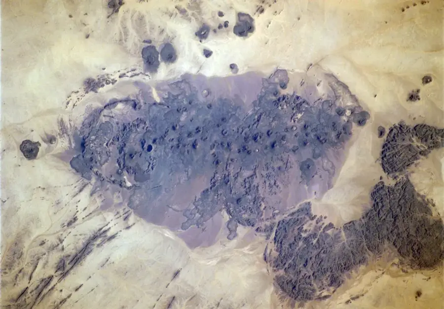
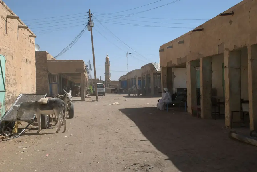
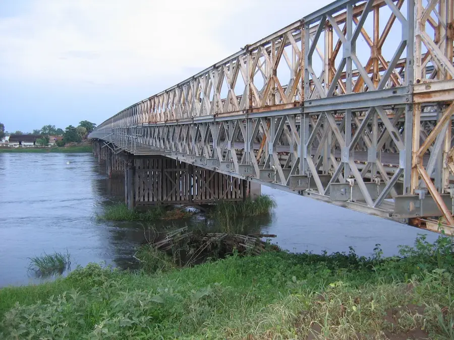
The Atbara Plain extends across eastern Sudan along the lower reaches of the Atbara River, the last major tributary of the Nile before its confluence. The landscape is characterized by vast, flat alluvial plains consisting of fertile dark sediments brought by the river from the Ethiopian Highlands. Geomorphologically, the plain is shaped by seasonal flooding events, as the Atbara swells significantly during the rainy season and dries up almost completely during the dry season. This dynamic has led to the development of specialized agricultural systems, such as the Khashm el-Girba dam project, which enables large-scale irrigation farming. The plain is an important habitat for nomadic tribes like the Shukriya, who have practiced livestock herding here for generations. Historically, the Atbara Plain was a significant corridor for trade caravans and military movements between the Nile Valley and the Red Sea.
- Location: Sudan
- Nearby: Berber (20 km)
Best time to visit & climate
The most pleasant time to visit is Jan, Feb, Dec.
| Jan | Feb | Mar | Apr | May | Jun | Jul | Aug | Sep | Oct | Nov | Dec | |
|---|---|---|---|---|---|---|---|---|---|---|---|---|
| Avg °C | 21 | 23 | 26 | 30 | 34 | 36 | 35 | 35 | 35 | 32 | 26 | 22 |
| Rain mm | 0 | 0 | 0 | 1 | 2 | 0 | 7 | 12 | 3 | 1 | 0 | 0 |
📋 Practical info
Geography
Facts
- The Atbara is the last permanent tributary of the Nile.
- During the dry season (January to June), the river can shrink to a chain of pools.
- The plain lies at an average altitude of 400 to 500 meters.
- Khashm el-Girba is a major reservoir in this region.
- The region is a primary cultivation area for sorghum and peanuts.
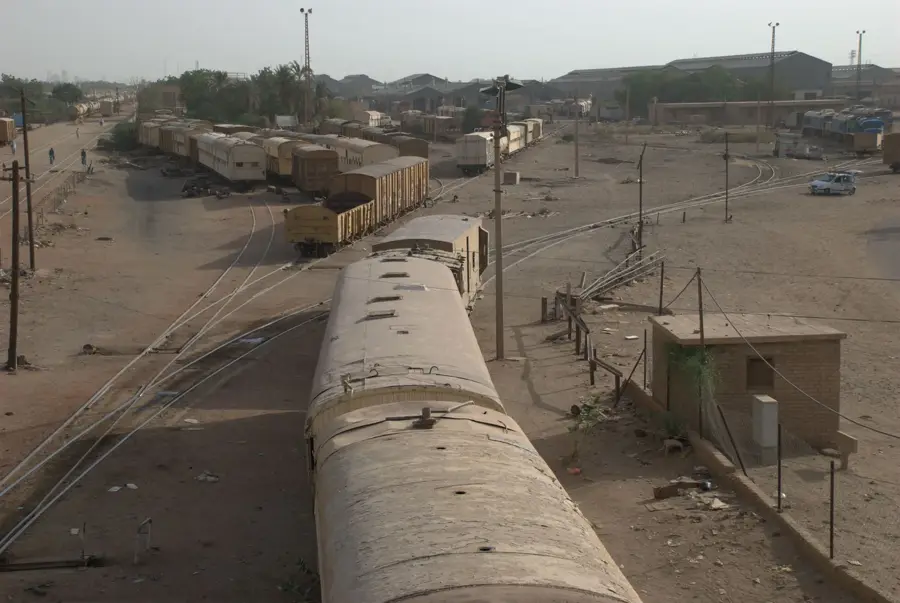
- The city of Atbara is located at the river's confluence with the Nile.
Explore nearby
Notable places around
Route planner — Car & Motorhome
Where do you start? We build the route here, with stops and country notes along the way.
© OpenStreetMap contributors · OpenRouteService
Sights nearby
Frequently asked questions
What is the Atbara Plain?
Is it a good destination for passing through?
When does the river have water?
Is it good to camp here?
What is the best season for this plain?
Atbara Plain: where is it located?
Atbara Plain: when is the best time to visit?
Atbara Plain: why is it worth visiting?

Nearby cities
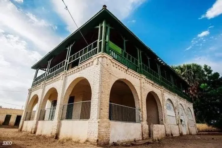
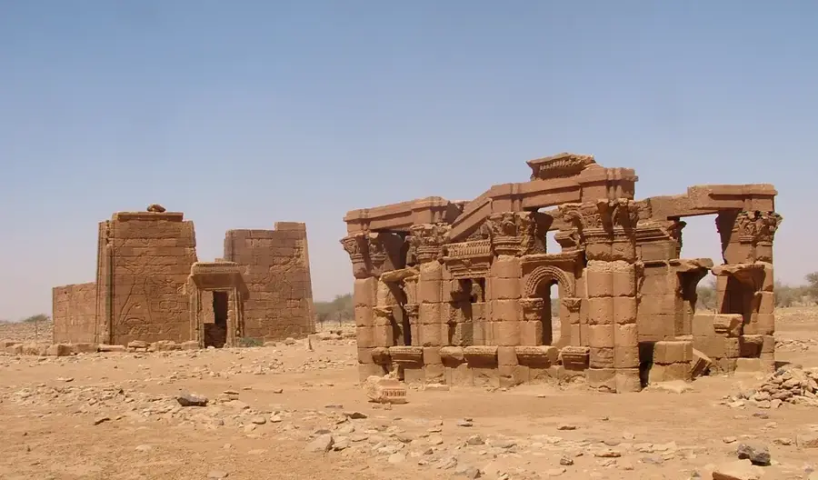
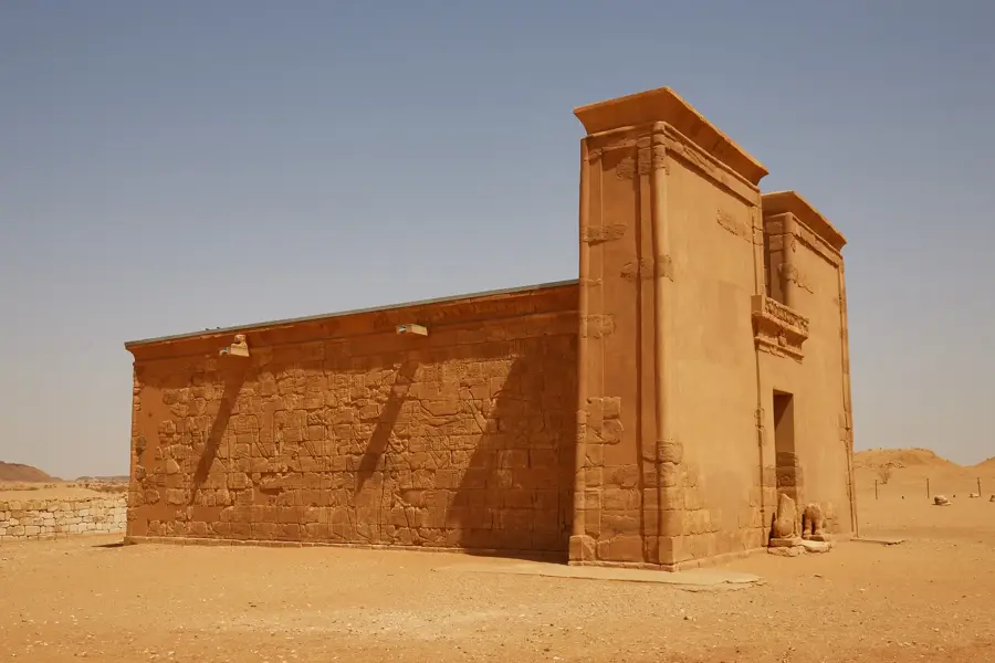
History & landmarks


Nature

More places