Plizio Visual Lab
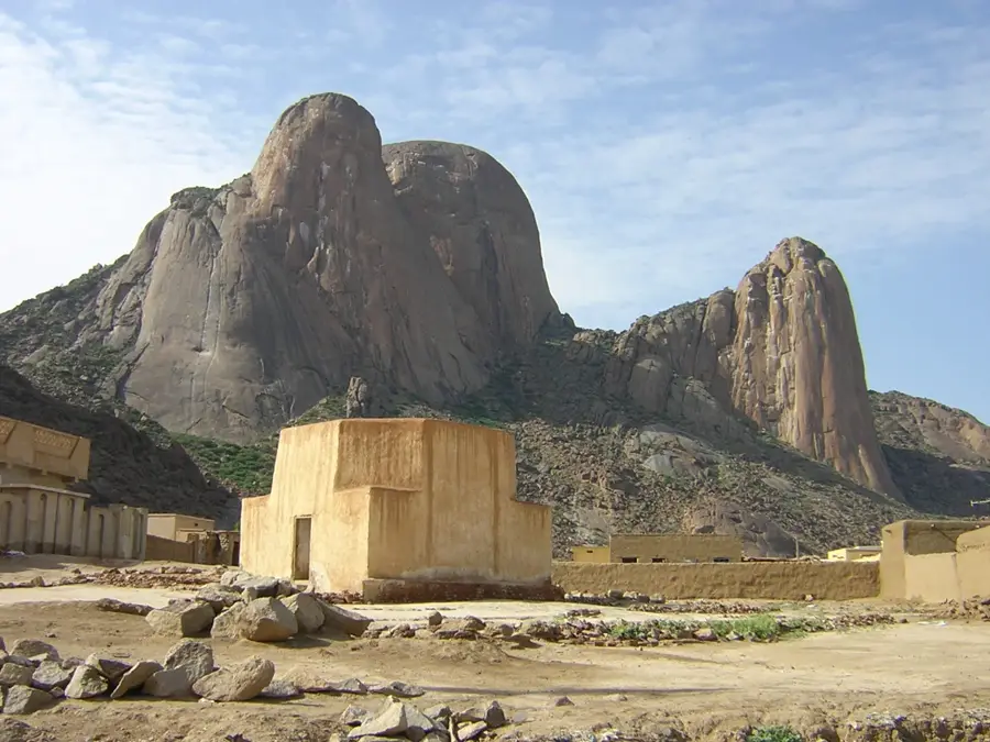
Khor el-Gash Plain

Weather…
Water temperature…
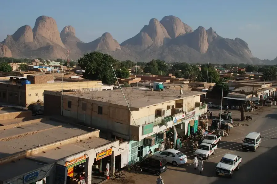
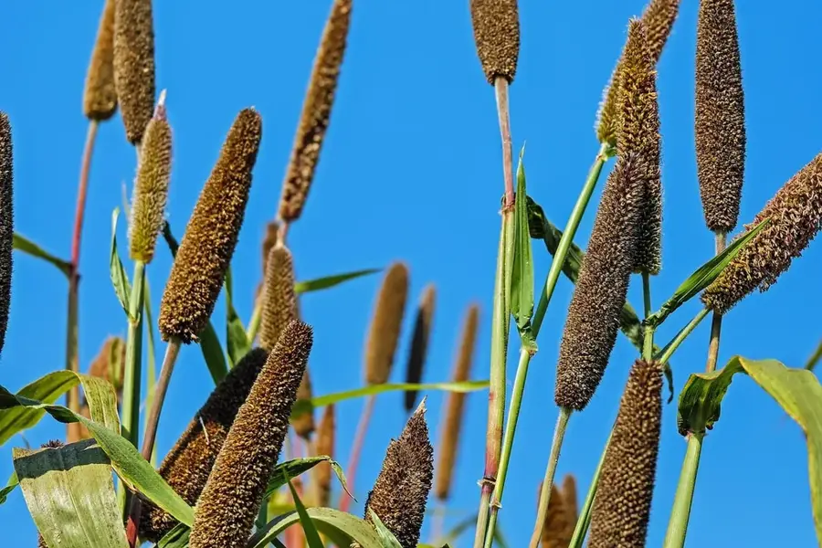
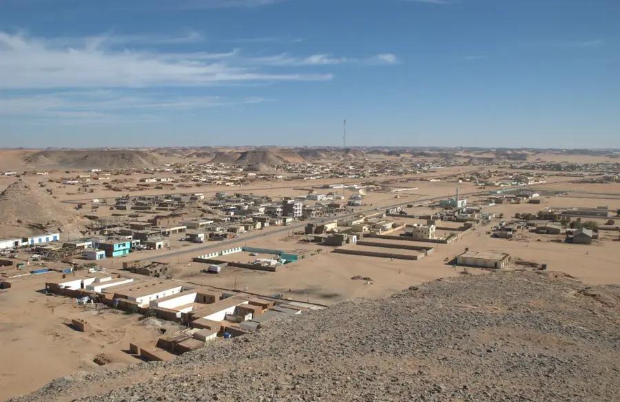
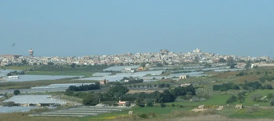
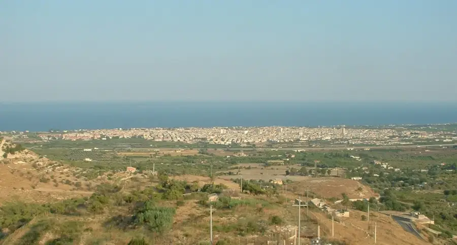
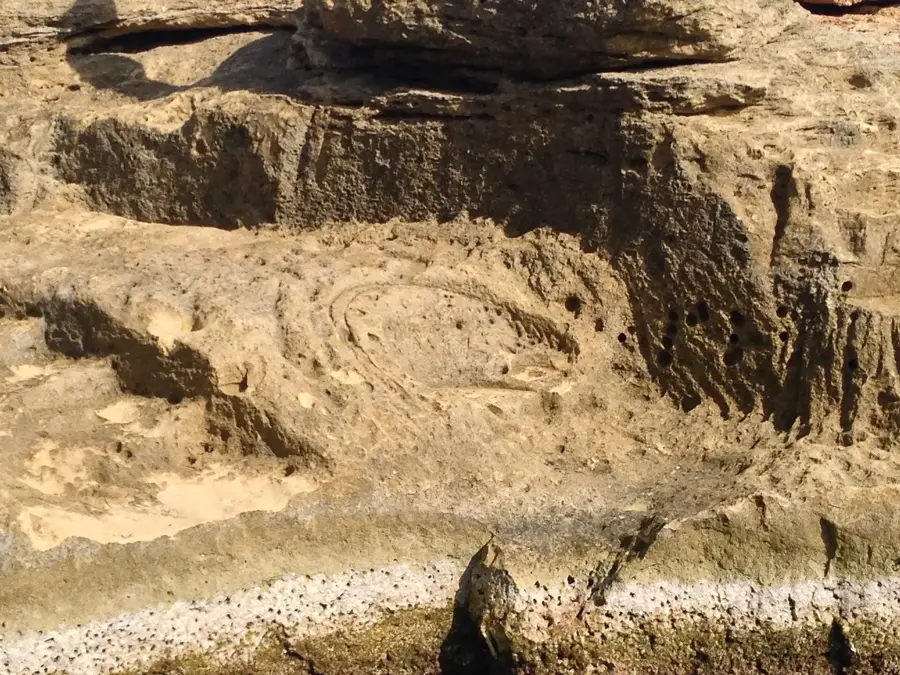
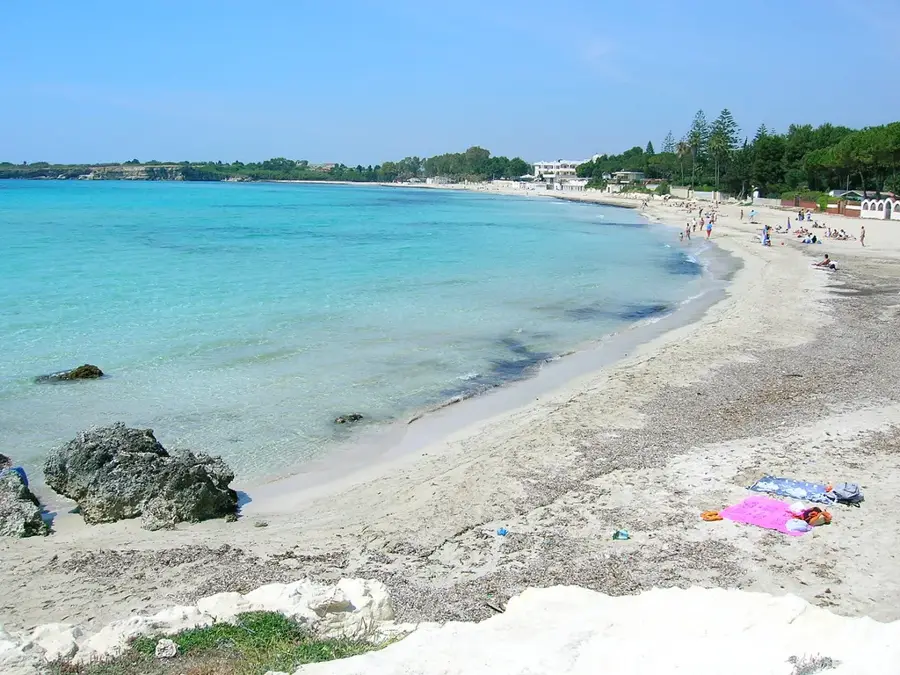
The Khor el-Gash Plain in eastern Sudan is a fertile alluvial plain fed by the seasonal Gash River, which originates in the Eritrean Highlands. The river is unique because it ends in an inland delta north of the city of Kassala, where its waters either evaporate or soak into the ground without reaching the sea. Geographically, the plain is defined by extremely rich silt deposits, making it one of Sudan's most productive agricultural zones. The Gash Delta Scheme is a historical irrigation project developed to harness the river's unpredictable summer floods for the cultivation of cotton, onions, and vegetables. Culturally, the plain is the ancestral home of the Hadendowa people, who have adapted their livelihoods to the river's seasonal flow. Today, the plain is a vital economic pillar for the region, though managing the heavy siltation and erratic flood patterns remains a constant challenge for local authorities.
- Location: Sudan
- Nearby: Aroma (44 km)
Best time to visit & climate
The most pleasant time to visit is Jan, Feb, Dec.
| Jan | Feb | Mar | Apr | May | Jun | Jul | Aug | Sep | Oct | Nov | Dec | |
|---|---|---|---|---|---|---|---|---|---|---|---|---|
| Avg °C | 25 | 27 | 29 | 32 | 34 | 33 | 29 | 27 | 28 | 30 | 28 | 26 |
| Rain mm | 0 | 1 | 0 | 3 | 14 | 23 | 78 | 113 | 45 | 10 | 1 | 0 |
📋 Practical info
Geography
Facts
- The Gash River flows exclusively during the rainy season from June to September.
- The inland delta of the plain covers an area of approximately 250,000 hectares.
- Kassala, a major Sudanese city, sits at the southern entrance of the plain.
- The Gash Delta Scheme was formally established in the 1920s during British rule.
- The plain accounts for roughly 70% of Sudan's national onion exports.
- Due to its high sediment load, the riverbed rises significantly over time.
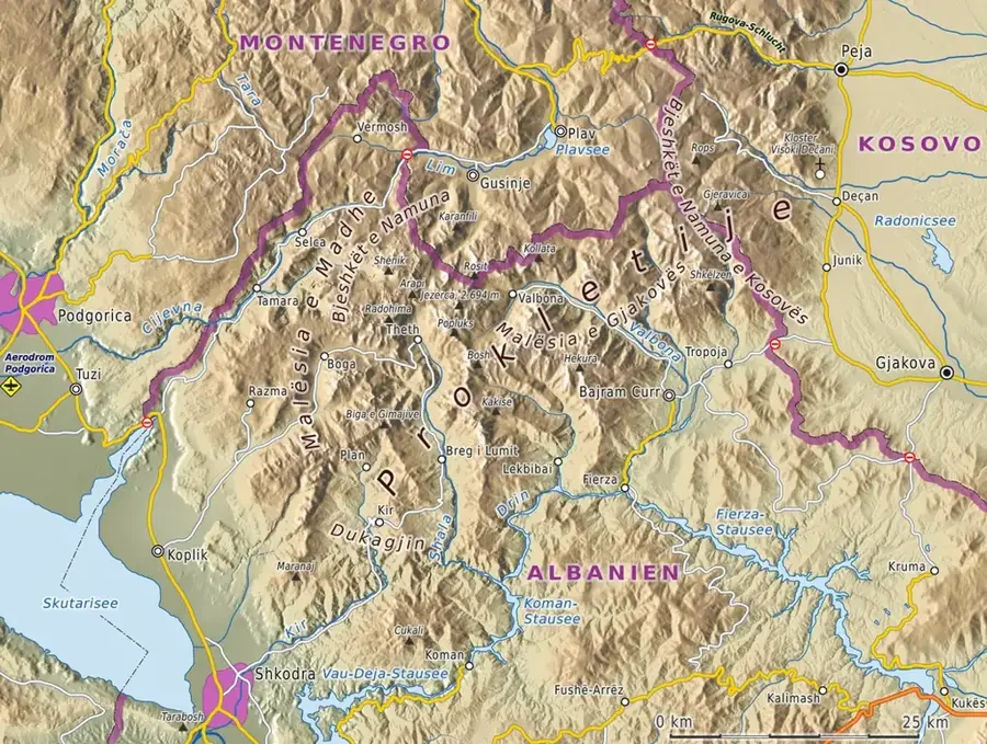
Explore nearby
Notable places around
Route planner — Car & Motorhome
Where do you start? We build the route here, with stops and country notes along the way.
© OpenStreetMap contributors · OpenRouteService
Sights nearby
Frequently asked questions
What is the Khor el-Gash plain?
When is it greenest?
Is there agriculture there?
Can one visit the area?
Are there hotels there?
Khor el-Gash Plain: where is it located?
Khor el-Gash Plain: when is the best time to visit?
Khor el-Gash Plain: why is it worth visiting?

Nearby cities


History & landmarks
Nature
More places