Plizio Visual Lab
Gash Valley
Weather…
Water temperature…
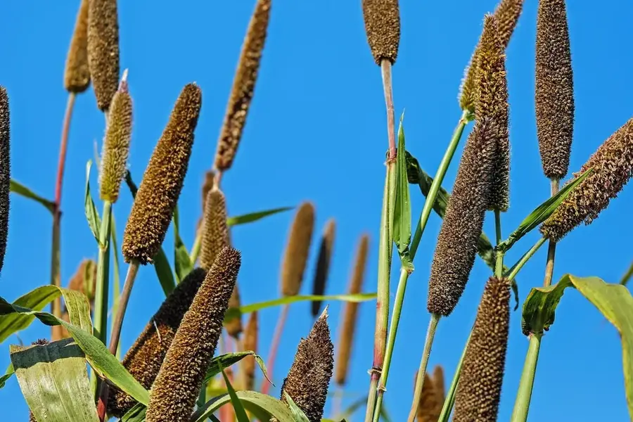
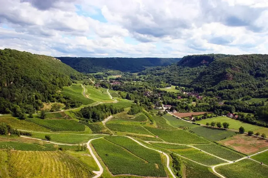
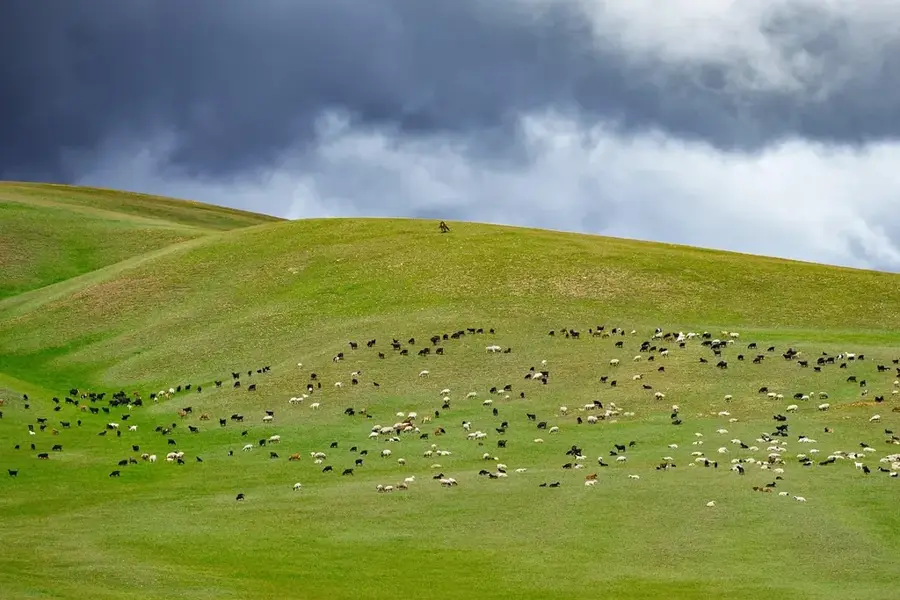
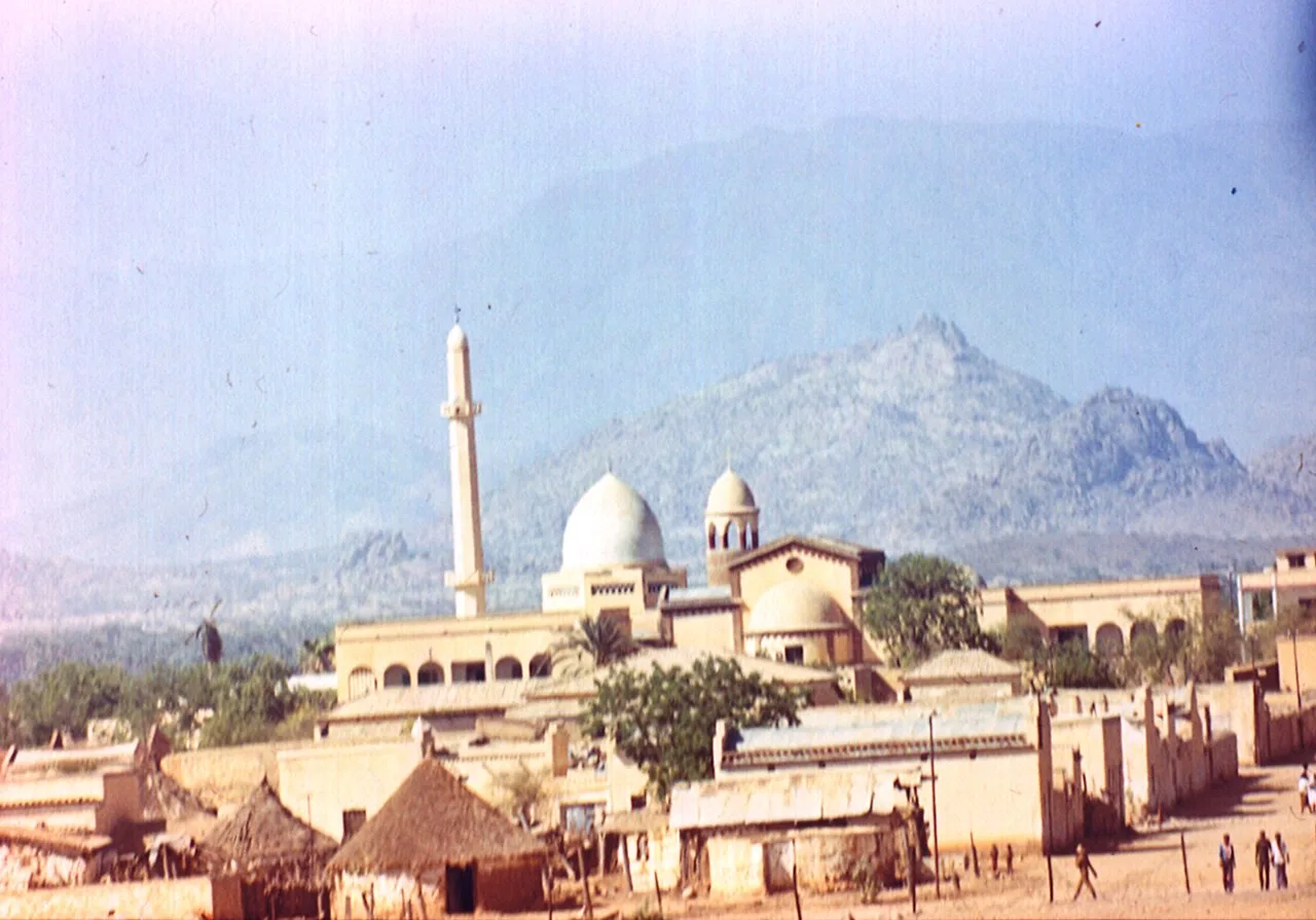
The Gash Valley, also known as the Mareb-Gash system, is one of the most fertile and economically vital regions in western Eritrea. The Mareb River originates in the central highlands near Asmara and flows southwest, forming part of the border with Ethiopia before entering the plains of Kassala in Sudan as the Gash River. Because the river is seasonal, carrying water only during the rainy season from July to September, the region has developed complex irrigation systems to sustain agriculture. The valley's alluvial silt consists of rich, dark soils well-suited for large-scale cultivation of cotton, bananas, and various grains. Historically, the valley served as a major trade corridor between the highlands and the Nilotic regions. The town of Tessenei acts as the primary commercial hub and border town in the valley, where the exchange of goods and livestock dominates the local economy. Ecologically, the valley provides a critical habitat for migratory birds and a variety of savanna wildlife.
- Location: Eritrea
- Nearby: Barentu (66 km)
Best time to visit & climate
The most pleasant time to visit is Jan, Nov, Dec.
| Jan | Feb | Mar | Apr | May | Jun | Jul | Aug | Sep | Oct | Nov | Dec | |
|---|---|---|---|---|---|---|---|---|---|---|---|---|
| Avg °C | 25 | 27 | 29 | 32 | 32 | 29 | 26 | 24 | 26 | 28 | 27 | 26 |
| Rain mm | 0 | 0 | 2 | 9 | 38 | 54 | 143 | 166 | 70 | 22 | 2 | 1 |
📋 Practical info
Geography
Facts
- The Mareb-Gash river never reaches the sea, ending in the sands of Sudan.
- The total length of the Mareb-Gash system is approximately 440 kilometers.
- The region is the primary center for Eritrean long-staple cotton cultivation.
- The rainy season typically fills the riverbed between July and September.
- Tessenei in the Gash Valley is a strategic hub on the Sudanese border.
- The valley sits at an average elevation of 500 to 800 meters above sea level.
Explore nearby
Notable places around
Route planner — Car & Motorhome
Where do you start? We build the route here, with stops and country notes along the way.
© OpenStreetMap contributors · OpenRouteService
Sights nearby
Frequently asked questions
What makes the Gash Valley special?
When should one visit the valley?
Is it family-friendly?
How to get there?
Are there any accommodations?
Gash Valley: where is it located?
Gash Valley: when is the best time to visit?
Gash Valley: why is it worth visiting?

Nearby cities
History & landmarks

More places