Plizio Visual Lab
Tessenei millet and cotton fields
Weather…
Water temperature…
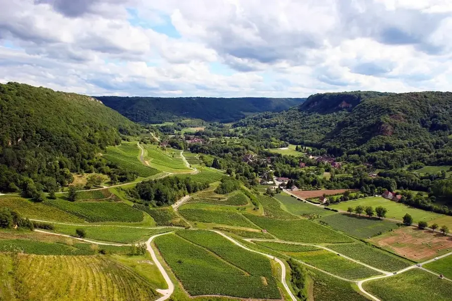
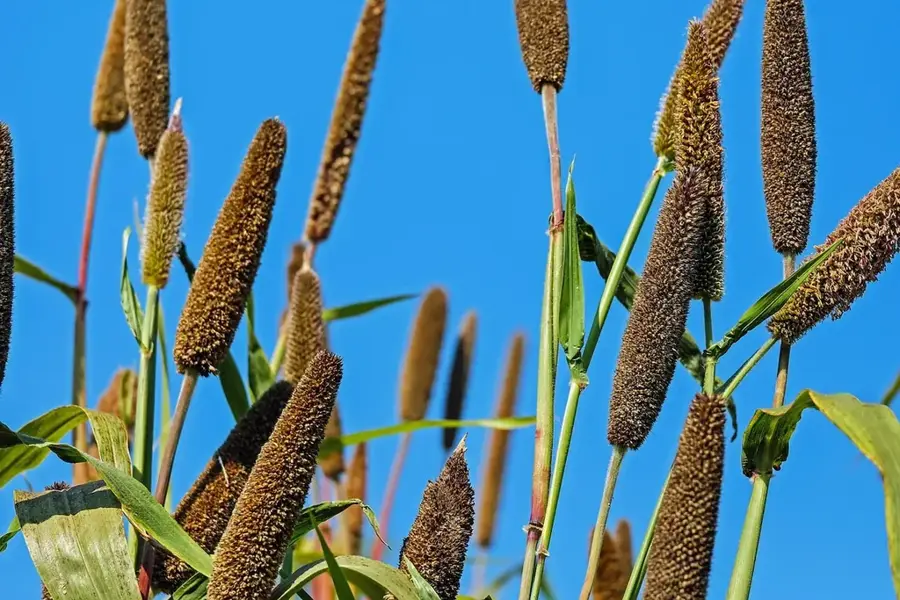
The fields of Tessenei, located near the border with Sudan, are a major engine for Eritrea's cereal and commercial crop production. Leveraging the Aligider irrigation project, which harnesses water from the Gash River, vast tracts of land are under intensive cultivation. Beyond cotton, the area primarily produces millet, sorghum, and various legumes that are strategically important for national food security. Tessenei serves as a critical commercial crossroads where agricultural commodities are traded for domestic markets and cross-border exchange. Farming in this region is increasingly mechanized, benefiting from investments in modern infrastructure such as grain silos and processing plants. Farmers often organize into cooperatives to improve their access to fertilizers and high-quality seeds. Despite the extreme heat of the lowlands, the sophisticated canal system ensures consistent crop production throughout the growing cycles. The Tessenei region thus represents the transformation of Eritrean agriculture from subsistence farming toward a market-oriented and export-capable sector.
- Location: Eritrea
- Top sights: Teseney subregion · Teseney
Best time to visit & climate
The most pleasant time to visit is Jan, Feb, Dec.
| Jan | Feb | Mar | Apr | May | Jun | Jul | Aug | Sep | Oct | Nov | Dec | |
|---|---|---|---|---|---|---|---|---|---|---|---|---|
| Avg °C | 26 | 28 | 30 | 33 | 34 | 32 | 28 | 26 | 27 | 29 | 29 | 27 |
| Rain mm | 0 | 1 | 1 | 6 | 29 | 45 | 136 | 158 | 72 | 21 | 2 | 0 |
📋 Practical info
Geography
Facts
- Tessenei is frequently referred to as the 'Breadbasket of Eritrea'.
- The Aligider irrigation project covers several thousand hectares.
- Millet is a key drought-resistant crop grown in the area.
- The town of Tessenei is a major gateway for trade with Sudan.
- The Gash River flows seasonally, with water stored in large reservoirs.
- Crop yields from this region support food distribution across the country.
Explore nearby
Notable places around
Route planner — Car & Motorhome
Where do you start? We build the route here, with stops and country notes along the way.
© OpenStreetMap contributors · OpenRouteService
Sights in the town Tessenei millet and cotton fields (2)
Sights nearby
Frequently asked questions
What is grown in Tessenei?
Why is Tessenei an important agricultural center?
How is the climate there?
When should you visit the region?
Are the fields accessible from the center?
Tessenei millet and cotton fields: where is it located?
Tessenei millet and cotton fields: what is there to see?
Tessenei millet and cotton fields: when is the best time to visit?
Tessenei millet and cotton fields: why is it worth visiting?

Nearby cities
History & landmarks

More places