Plizio Visual Lab
Doka

ℹ️Practical info — Doka
▾
🌤 Weather — 5 days
📍 Nearby
Sights nearby
💡 Tips
- Expect basic infrastructure; carry enough cash as ATMs are scarce.
- The local market is best visited early in the morning before the heat peaks.
- Dress conservatively and prepare for dusty conditions, especially during the dry season.
- Public transport is mainly via local minibuses; confirm your destination before boarding.
🍽 Food
A traditional sorghum flatbread often served at local food stalls.
A hearty fava bean stew that is especially popular for breakfast in the market area.
Heavily spiced black tea enjoyed at simple street-side tea stands.
🛍 Shopping · 🧘 Quiet spots
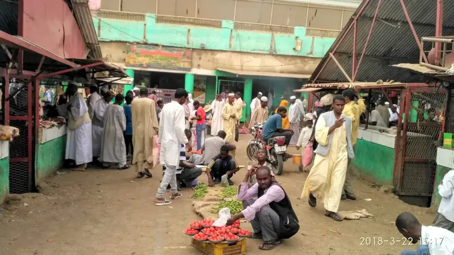
The hub of trade for local harvests and fresh regional produce.
Buy fresh herbs and aromatic spices directly from merchants in the center.
A quieter area near the agricultural fields for a brief walk.
Often provides peaceful, shaded spots away from the bustle of the main market.
Water temperature…
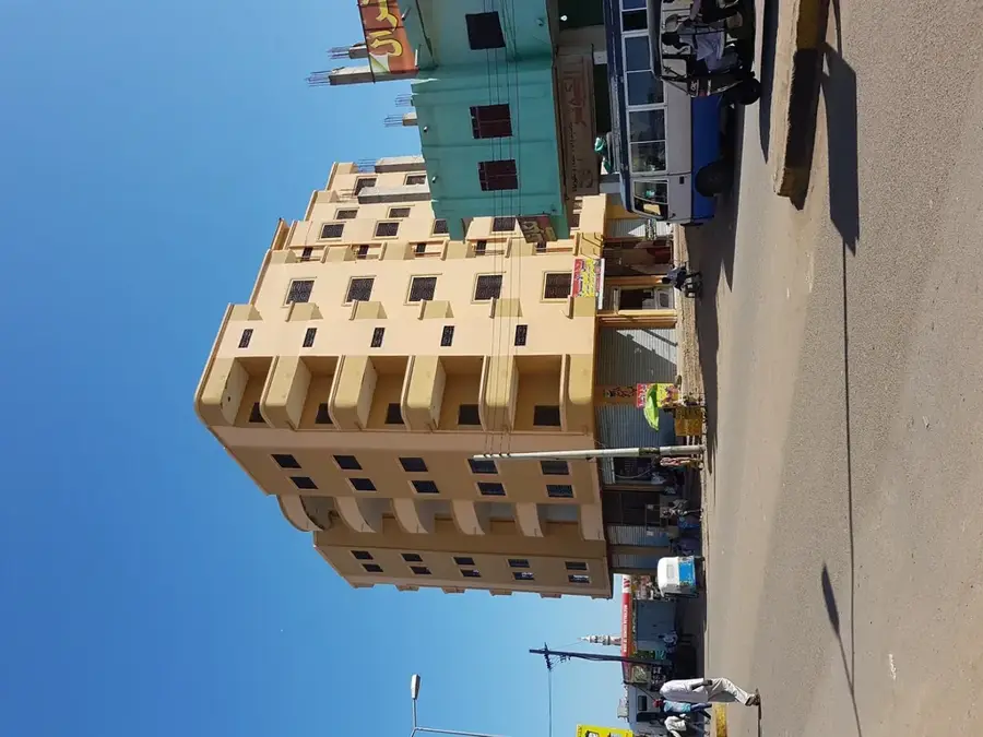
Doka is a significant agricultural town located in the southeastern part of Gedaref State in Sudan, close to the border with Ethiopia. The town is situated in one of the most fertile regions of the country, often referred to as the granary of Sudan. Geographically, Doka is characterized by rolling hills and vast plains that are intensively cultivated using rain-fed farming methods during the wet season from June to September. The economic foundation of the town is the production of sesame, sorghum, and sunflowers, with Doka being particularly famous for its high-quality sesame exported globally. The city functions as a key collection and trading hub for farmers throughout the border region. Despite its relatively remote location, Doka maintains strategic importance for cross-border trade and serves as a melting pot for various ethnic groups engaged in the agricultural sector.
- Location: Sudan
- Population: ~19.821 (2012)
Best time to visit & climate
The most pleasant time to visit is Jan, Feb, Dec.
| Jan | Feb | Mar | Apr | May | Jun | Jul | Aug | Sep | Oct | Nov | Dec | |
|---|---|---|---|---|---|---|---|---|---|---|---|---|
| Avg °C | 26 | 28 | 30 | 32 | 31 | 29 | 26 | 25 | 26 | 28 | 28 | 26 |
| Rain mm | 0 | 0 | 2 | 10 | 60 | 79 | 180 | 226 | 120 | 47 | 5 | 1 |
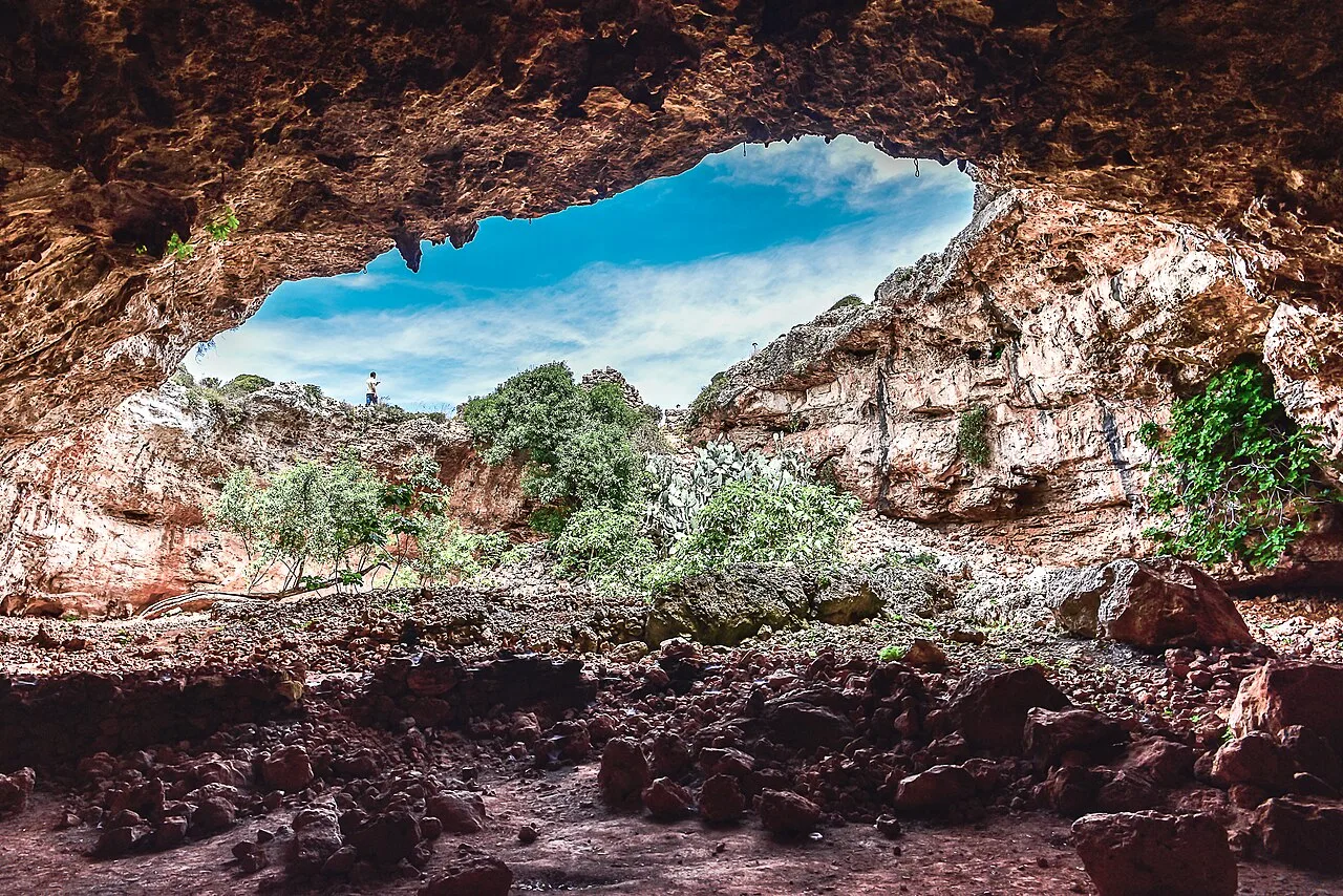
Geography
Facts
- Doka is located in the southeastern Gedaref State near the Ethiopian border.
- The region is renowned for rain-fed agriculture of sesame, sorghum, and sunflowers.
- Doka is one of the most important centers for high-quality sesame export in Sudan.
- The town is situated at an elevation of approximately 600 meters above sea level.
- During harvest season, the population swells significantly with seasonal laborers.
- Doka is linked by a regional road to the state capital, Gedaref city.
Explore nearby
Notable places around
Route planner — Car & Motorhome
Where do you start? We build the route here, with stops and country notes along the way.
© OpenStreetMap contributors · OpenRouteService
Frequently asked questions
What characterizes Doka?
When to visit?
How to get there?
What can you do?
How long to stay?
Doka: where is it located?
Doka: when is the best time to visit?
Doka: why is it worth visiting?

Nearby cities

History & landmarks

Nature
More places