Plizio Visual Lab
Gedaref Agricultural Area
Weather…
Water temperature…
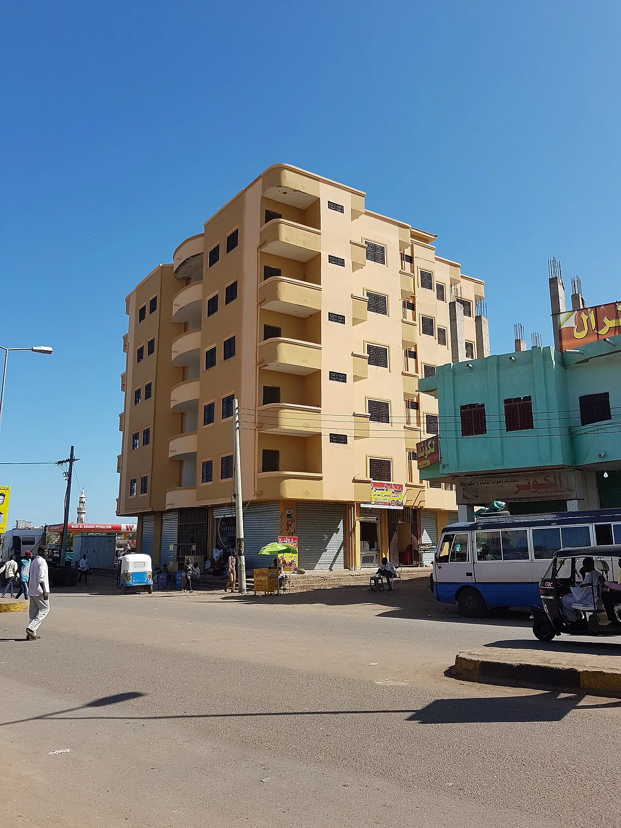
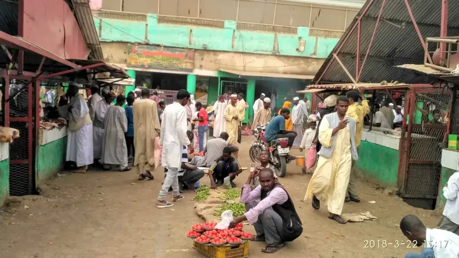
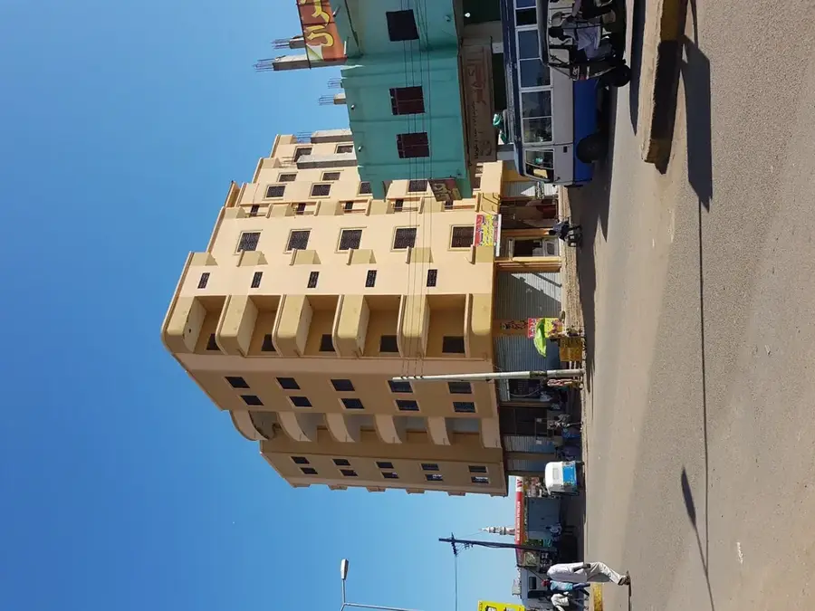
Gedaref in eastern Sudan is widely regarded as the nation's breadbasket, serving as the center for large-scale, mechanized rain-fed agriculture. The region benefits from fertile black cotton soils (vertisols) and sufficient seasonal rainfall to support the cultivation of sorghum (dura), sesame, and millet. Notably, Gedaref is the world's largest producer of white sesame, which is exported globally from this hub. Agriculture here is highly organized, characterized by vast farm complexes that often span thousands of hectares. During the harvest season in October and November, the region attracts tens of thousands of migratory laborers, transforming Gedaref into a dynamic economic powerhouse. Beyond crops, the area is also prominent for livestock farming, as pastures become exceptionally nutrient-rich following the rains. Geographically, Gedaref sits on a plateau that forms a critical transition between the central plains and the foothills of the Ethiopian Highlands. The city itself houses massive grain silos and trade exchanges that dictate the prices of staple foods throughout Sudan. Despite mechanization, the heavy reliance on seasonal rainfall remains a primary risk factor for local production levels.
- Location: Sudan
- Nearby: Doka (60 km)
Best time to visit & climate
The most pleasant time to visit is Jan, Feb, Dec.
| Jan | Feb | Mar | Apr | May | Jun | Jul | Aug | Sep | Oct | Nov | Dec | |
|---|---|---|---|---|---|---|---|---|---|---|---|---|
| Avg °C | 25 | 27 | 29 | 31 | 31 | 30 | 27 | 26 | 27 | 30 | 28 | 26 |
| Rain mm | 0 | 0 | 1 | 6 | 40 | 49 | 142 | 169 | 84 | 47 | 3 | 1 |
📋 Practical info
Geography
Facts
- Gedaref is the world's leading producer of white sesame
- The primary crop is sorghum, locally known as 'dura'
- The region specializes in mechanized rain-fed farming
- Harvest season draws tens of thousands of seasonal workers
- The city features some of the largest grain silos in Africa
- Gedaref is situated approximately 600 meters above sea level
Explore nearby
Notable places around
Route planner — Car & Motorhome
Where do you start? We build the route here, with stops and country notes along the way.
© OpenStreetMap contributors · OpenRouteService
Sights in the town Gedaref Agricultural Area (1)
Sights nearby
Frequently asked questions
What is Gedaref?
Is it a tourist destination?
What is grown there?
How to travel?
What is nearby?
Gedaref Agricultural Area: where is it located?
Gedaref Agricultural Area: when is the best time to visit?
Gedaref Agricultural Area: why is it worth visiting?

Nearby cities

History & landmarks
Nature
More places