Plizio Visual Lab
Al-Faw

ℹ️Practical info — Al-Faw
▾
🌤 Weather — 5 days
📍 Nearby
Sights nearby
💡 Tips
- As a major transit hub on the highway, expect heavy traffic and always be careful when crossing the road.
- The weather is typically hot and dry; light, breathable cotton clothing is highly recommended.
- The roadside tea stalls are the social heart of the town, first-rate for a break and people-watching.
- Electronic payments are virtually non-existent, so carry enough cash for your entire stay or transit.
🍽 Food
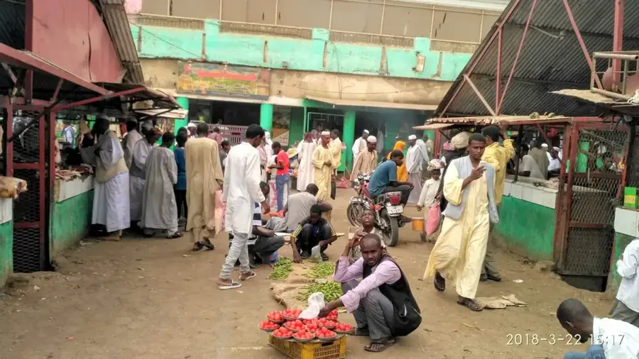
Follow the smoke to street stalls serving freshly grilled lamb or goat over charcoal.
Stop for traditional Sudanese coffee, freshly roasted, spiced with ginger, and served in tiny cups.
A warm, hearty bowl of fava beans with oil and flatbread is the standard, filling breakfast.
🛍 Shopping · 🧘 Quiet spots
Since it's an agricultural hub, you can buy fresh local produce like sesame and sorghum.
The highway-adjacent shops are great for picking up travel snacks and cold drinks.
Find a tea lady set up under a large acacia tree for a peaceful rest away from the sun.
A short walk away from the main highway leads to quiet, vast farming fields.
Water temperature…
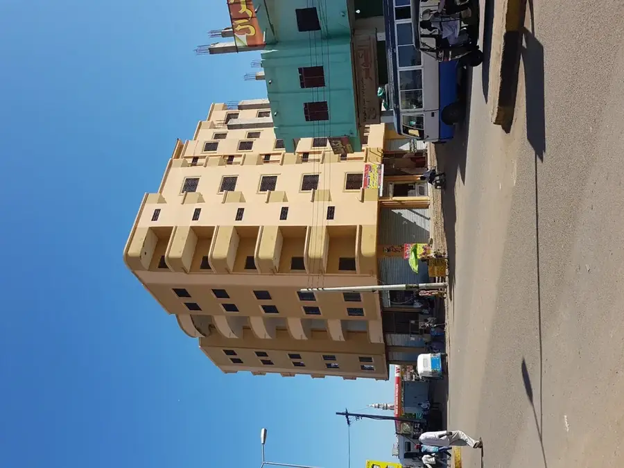
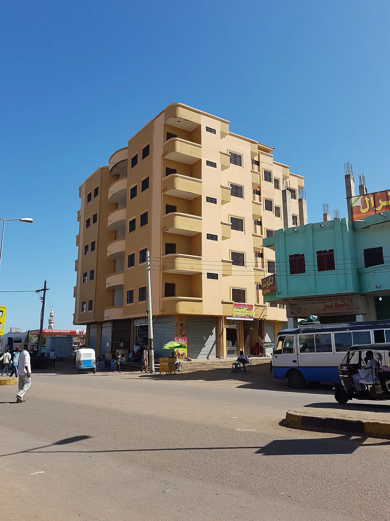
Al-Faw is a strategically located town in the Gedaref State of Sudan, situated along the main highway connecting Khartoum to Port Sudan. The town is widely recognized as the administrative headquarters of the Rahad Irrigation Scheme, which was established in the 1970s to boost agricultural output in the region. Geographically, Al-Faw lies in a transition zone between semi-arid savannah and the fertile clay soils of the Rahad basin. The local economy is centered on the large-scale production of cotton, groundnuts, and sorghum, supported by water diverted from the Blue Nile via an extensive canal system. Due to its position on the national highway, the town serves as a vital transit point and logistics hub for goods moving toward the Red Sea coast. Al-Faw has transformed from a small rural settlement into a modern agricultural hub that plays a critical role in Sudan national food security.
Best time to visit & climate
The most pleasant time to visit is Jan, Feb, Dec.
| Jan | Feb | Mar | Apr | May | Jun | Jul | Aug | Sep | Oct | Nov | Dec | |
|---|---|---|---|---|---|---|---|---|---|---|---|---|
| Avg °C | 26 | 29 | 31 | 34 | 34 | 32 | 29 | 27 | 28 | 30 | 29 | 27 |
| Rain mm | 0 | 0 | 0 | 2 | 21 | 50 | 149 | 158 | 71 | 31 | 1 | 0 |
Geography
Facts
- Al-Faw is located in Gedaref State on the strategic highway between Khartoum and Port Sudan.
- The town serves as the headquarters for the Rahad Irrigation Scheme, operational since 1977.
- Irrigation water is supplied from the Blue Nile through a canal exceeding 80 kilometers in length.
- The town is a key logistics stop for heavy vehicle traffic heading to the Red Sea coast.
- Major crops grown in the vicinity include cotton, groundnuts, and sorghum for export.
- Al-Faw features modern infrastructure including administrative offices and agricultural facilities.
Explore nearby
Notable places around
Route planner — Car & Motorhome
Where do you start? We build the route here, with stops and country notes along the way.
© OpenStreetMap contributors · OpenRouteService
Frequently asked questions
What is Al-Faw?
When is a visit worthwhile?
How to get there?
How long to stay?
Are there culinary recommendations?
Al-Faw: where is it located?
Al-Faw: when is the best time to visit?
Al-Faw: why is it worth visiting?