Plizio Visual Lab
Qammieh Point
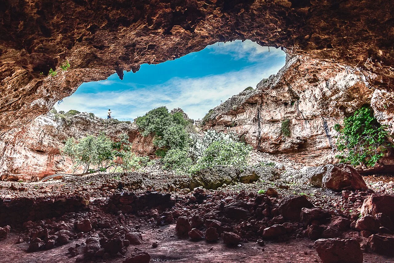
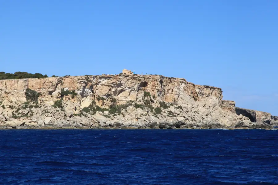
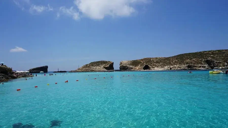
Qammieh Point forms the south-western tip of the Marfa Ridge in northern Malta, offering commanding views across the channel toward Comino and Gozo. This remote plateau is geologically noted for its rugged Upper Coralline Limestone formations that drop precipitously into the Mediterranean Sea. The area is largely uninhabited and dominated by a pristine Mediterranean garrigue landscape, which comes into full bloom during the spring season. Historically, the site is significant for its military past; during World War II, it hosted a vital British radar station, the ruins of which remain visible on the rocky terrain today. For hikers, Qammieh Point gives one of the most solitary coastal routes on the island, situated far from the busy tourist centers of Mellieħa. The vertical cliffs also serve as an essential nesting ground for various species of seabirds. The fusion of raw natural beauty, military history, and expansive maritime vistas makes it a unique destination for nature enthusiasts.
- Location: Malta
- Top sights: Wreck of Scotscraig · Il-Latnija · Ta' Qassisu
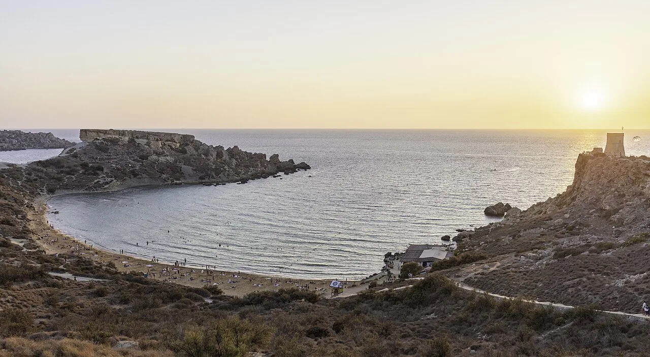
- Nearby: Golden Bay (4 km)
Best time to visit & climate
The most pleasant time to visit is May–Jul.
| Jan | Feb | Mar | Apr | May | Jun | Jul | Aug | Sep | Oct | Nov | Dec | |
|---|---|---|---|---|---|---|---|---|---|---|---|---|
| Avg °C | 15 | 14 | 15 | 16 | 19 | 23 | 26 | 27 | 25 | 23 | 20 | 16 |
| Rain mm | 74 | 65 | 51 | 33 | 17 | 11 | 4 | 10 | 63 | 82 | 95 | 82 |
📋 Practical info
Geography
Facts
- Qammieh Point is the westernmost tip of the Marfa Ridge plateau.
- It provides a direct vantage point looking over to Comino island.
- A strategic British radar station was located here during World War II.
- The geology is dominated by hard Upper Coralline Limestone.
- The site is protected as a high-quality Mediterranean garrigue habitat.
- The cliffs at this point drop nearly 100 meters down to the shoreline.
Explore nearby
Notable places around
Route planner — Car & Motorhome
Where do you start? We build the route here, with stops and country notes along the way.
© OpenStreetMap contributors · OpenRouteService
Sights in the town Qammieh Point (10)
Ta' Qassisu
Attraction in Qammieh, Malta. Promontory with a view.
Prajjet Bay
Bay in Malta. Small bay on the north coast.
View on Popeye Village
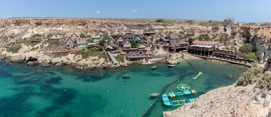
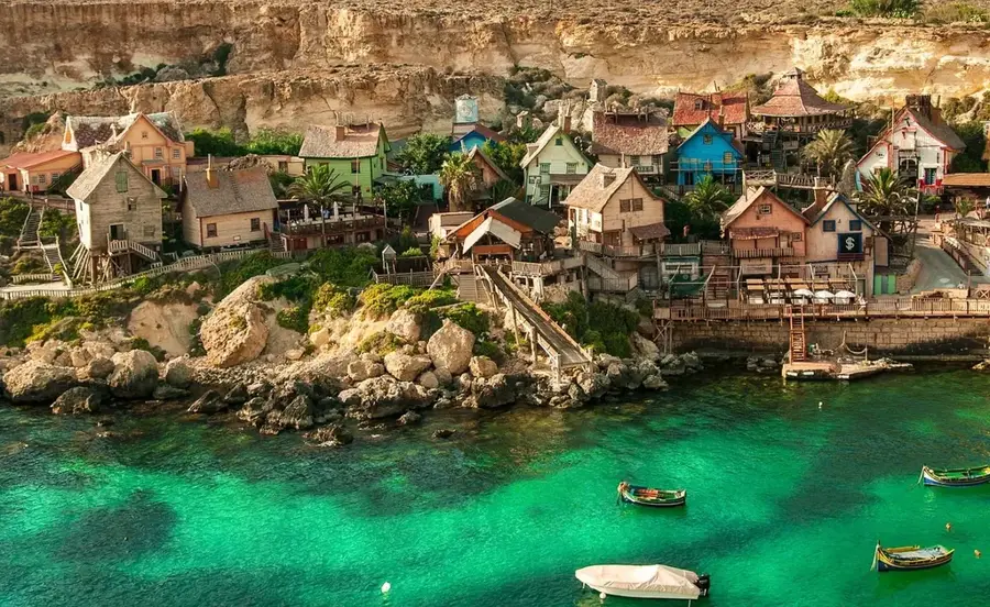
Viewpoint in Qammieh, Malta. Overlooks Popeye Village.
Għadira Nature Reserve
Nature reserve in Malta. Wetland area attracting birds.
Għadira Bay
Beach in Qammieh, Malta. Sandy beach with shallow water.
Paradise Bay Resort Beach
Beach in Qammieh, Malta. Private beach of a resort.
Sights nearby
Frequently asked questions
Where is Qammieh Point?
What can you see there?
Is the path there paved?
Is there any shade?
When should you visit Qammieh Point?
Qammieh Point: where is it located?
Qammieh Point: what is there to see?
Qammieh Point: when is the best time to visit?
Qammieh Point: why is it worth visiting?

Nature
More places