Plizio Visual Lab
Bathalegala
Weather…
Water temperature…
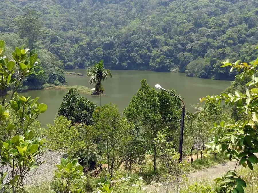
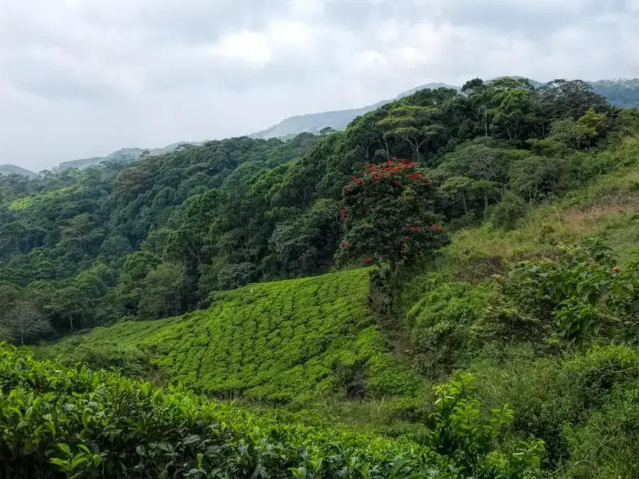
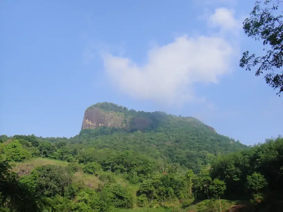
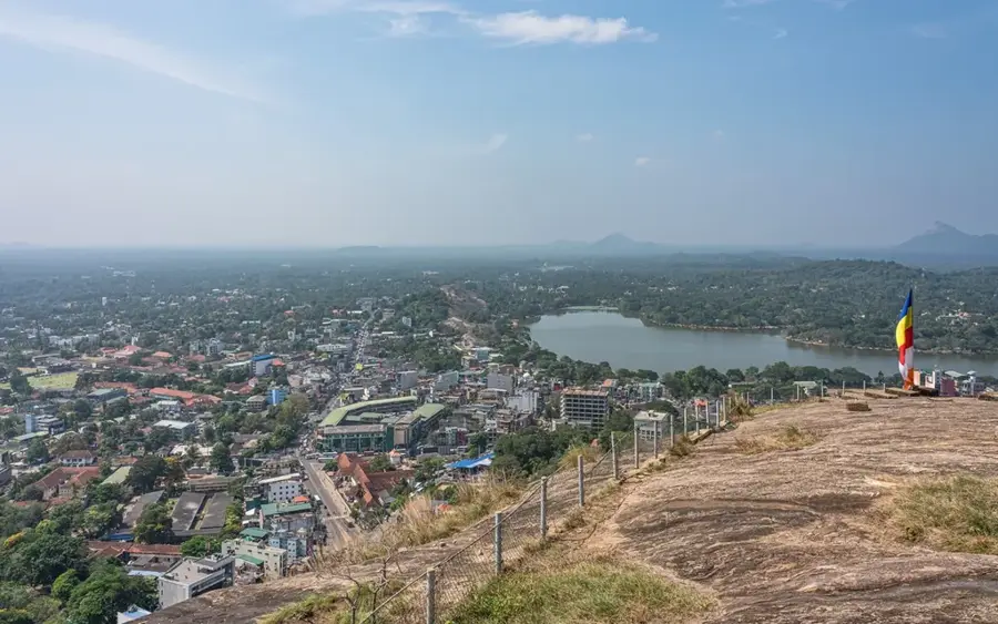
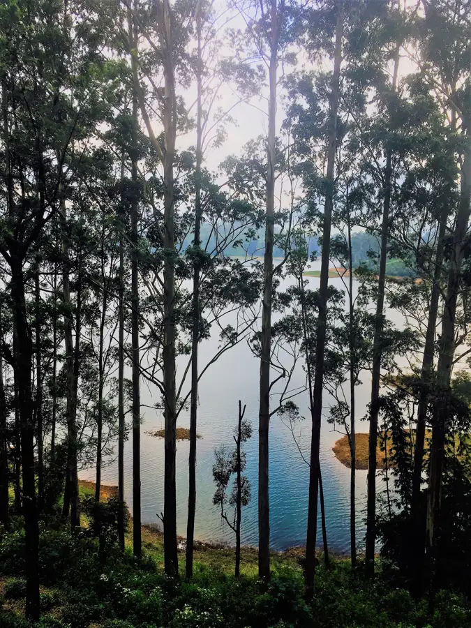
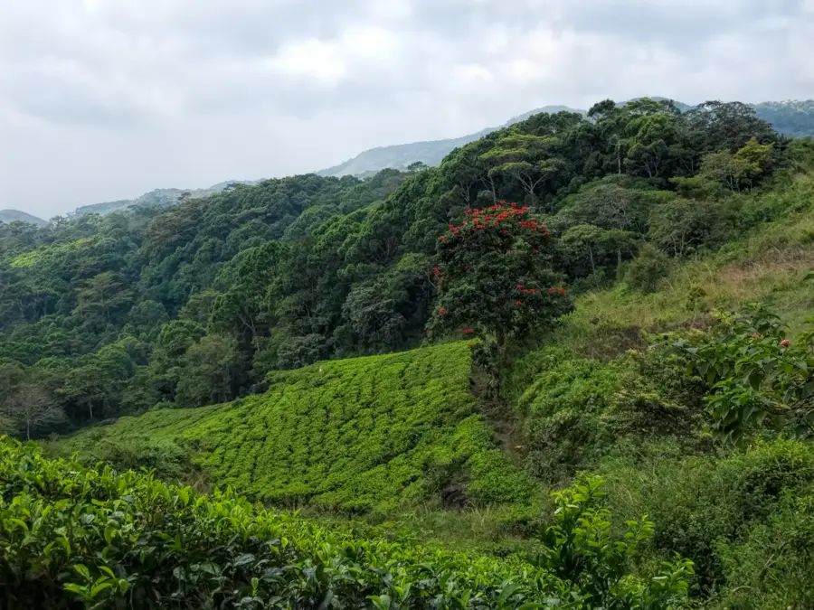
Bathalegala, widely known as Bible Rock due to its distinct flat-topped silhouette resembling an open book, is a prominent landmark located in the Kegalle District of Sri Lanka. Rising to an elevation of approximately 797 meters above sea level, it stands as a sentinel over the Aranayaka region. Geologically, the mountain is a gneissic outcrop, part of the transition zone between the lowlands and the central highlands. During the British colonial era, its summit was utilized as a strategic lookout point, providing a clear line of sight for visual signaling between Kandy and the coastal plains. The surrounding landscape is characterized by dense tropical forests and traditional terraced paddy fields, showcasing the island's rural heritage. Today, it remains a significant site for biodiversity and a popular trekking destination, offering panoramic 360-degree views of the surrounding peaks, including the famous Saradiel Rock and the Knuckles Range in the distance.
- Location: Sri Lanka
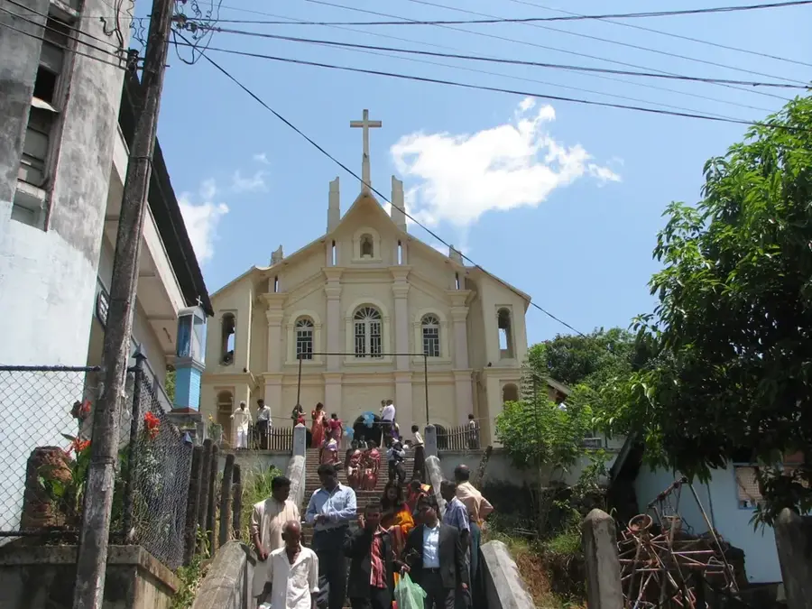
- Top sights: Bible Rock · හෙම්මාතගම බෞද්ධ මන්දිරය · Dippitiya Market
- Nearby: Kegalle (10 km)
Best time to visit & climate
The most pleasant time to visit is Jan, Feb, Jul.
| Jan | Feb | Mar | Apr | May | Jun | Jul | Aug | Sep | Oct | Nov | Dec | |
|---|---|---|---|---|---|---|---|---|---|---|---|---|
| Avg °C | 21 | 22 | 23 | 24 | 24 | 23 | 23 | 23 | 23 | 23 | 22 | 22 |
| Rain mm | 109 | 86 | 105 | 175 | 164 | 101 | 82 | 92 | 129 | 234 | 274 | 212 |
📋 Practical info
Geography
Facts
- The mountain rises to an altitude of 797 meters above sea level.
- Its English name, Bible Rock, comes from its resemblance to an open book.
- It was used by the British as a strategic landmark for visual signaling.
- The geological composition consists of ancient Precambrian gneiss rock.
- The summit offers a 360-degree view of the Kegalle District landscape.
- The area is home to various endemic avian species and tropical flora.
Explore nearby
Notable places around
Route planner — Car & Motorhome
Where do you start? We build the route here, with stops and country notes along the way.
© OpenStreetMap contributors · OpenRouteService
Sights in the town Bathalegala (8)
Sights nearby
Frequently asked questions
Why is Bathalegala also called Bible Rock?
How difficult is the climb?
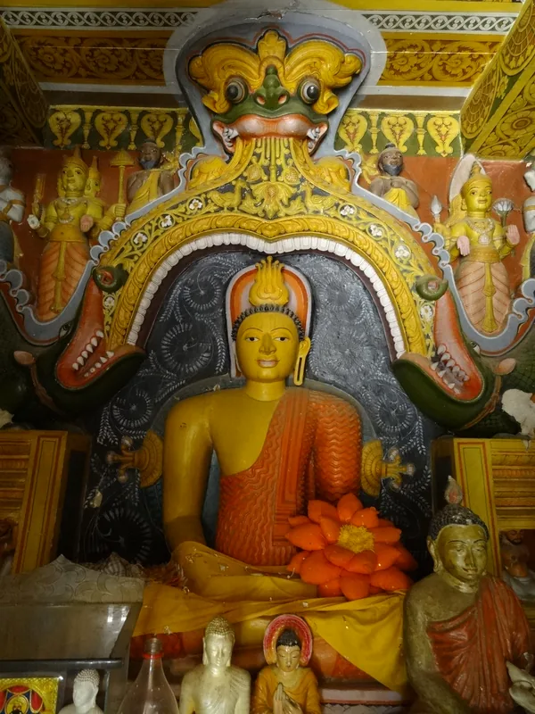
Is there a temple on the rock?
Where does the hike start?
When should you visit Bathalegala?
Bathalegala: where is it located?
Bathalegala: what is there to see?
Bathalegala: when is the best time to visit?
Bathalegala: why is it worth visiting?

Nearby cities

History & landmarks
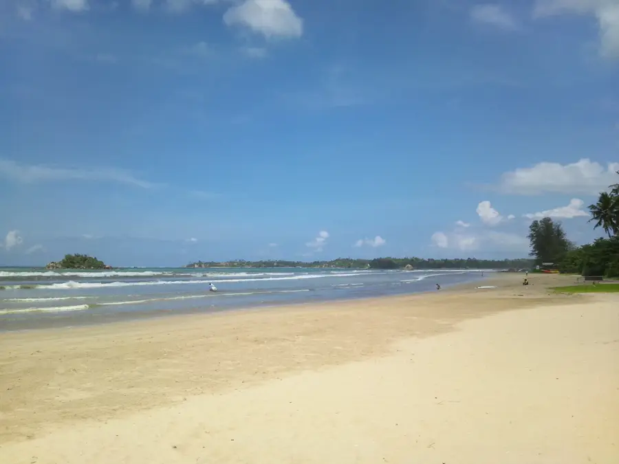
Nature
More places