Plizio Visual Lab
Canyon Dam Power Station
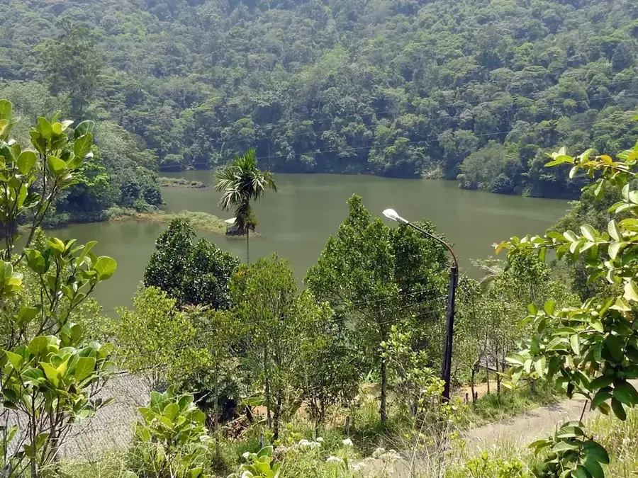
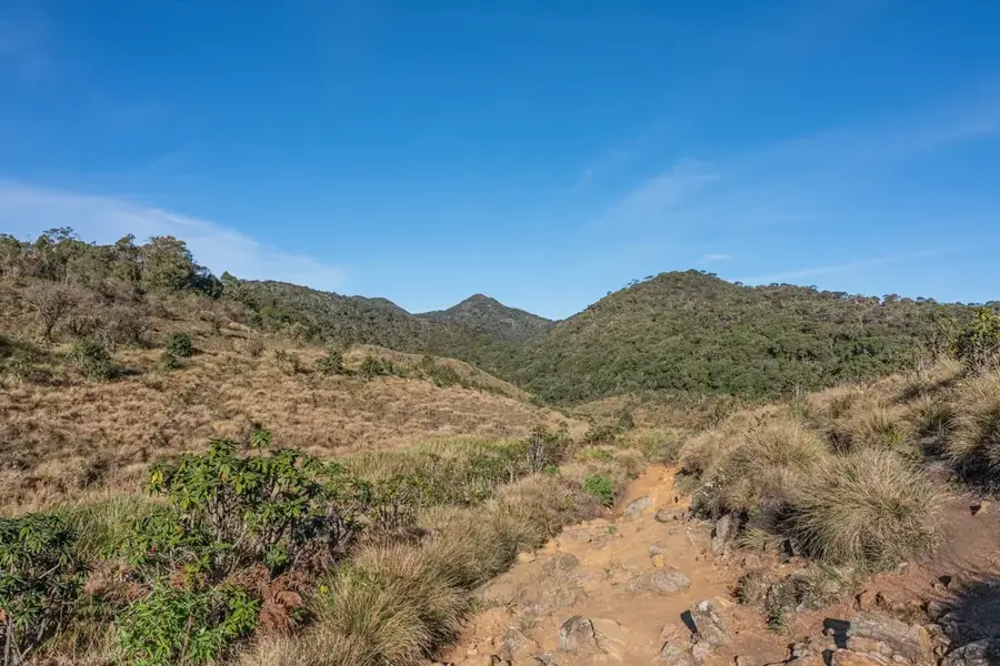
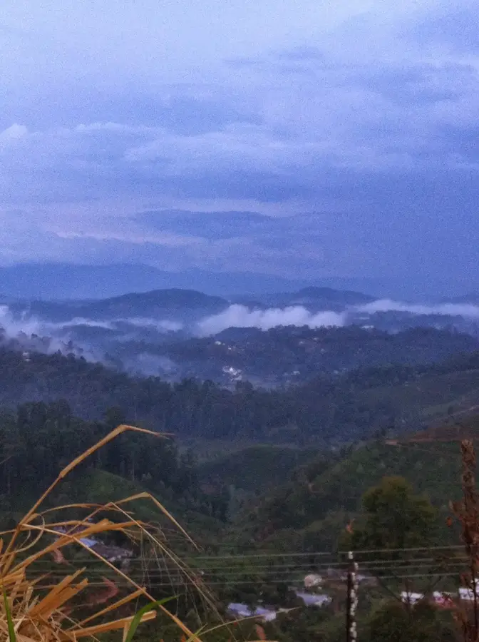
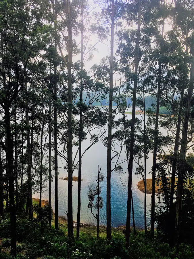
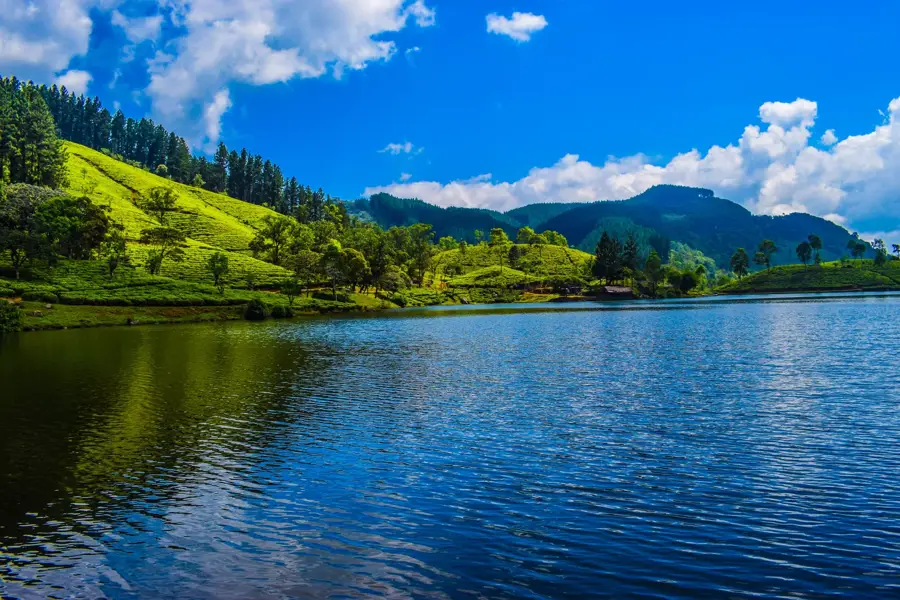
The Canyon Dam and its associated power station are integral components of the Laxapana Hydropower Complex located in the Nuwara Eliya District. Completed in 1958, the dam impounds the Maskeliya Oya to form the Canyon Reservoir, which has a storage capacity of approximately 1.1 million cubic meters. The power station leverages the significant elevation drops of the Central Highlands to generate electricity, featuring an installed capacity of 60 megawatts divided between two 30 MW units. This facility plays a strategic role in meeting peak demand within Sri Lanka's national power grid. The engineering challenges involved in constructing the dam and penstocks on the steep slopes of the tea country were substantial for the era. Today, it remains a vital contributor to the country's renewable energy portfolio, helping to reduce reliance on thermal power. The average annual energy output is estimated at 145 gigawatt-hours.
- Location: Sri Lanka
- Top sights: Pekoe Trail Stage 6 Start Point · Rozella 'Double Curve' · Galboda Falls
- Nearby: Hatton (7 km)
Best time to visit & climate
The most pleasant time to visit is Jan, Feb, Jul.
| Jan | Feb | Mar | Apr | May | Jun | Jul | Aug | Sep | Oct | Nov | Dec | |
|---|---|---|---|---|---|---|---|---|---|---|---|---|
| Avg °C | 21 | 22 | 23 | 24 | 24 | 23 | 23 | 23 | 23 | 23 | 22 | 22 |
| Rain mm | 109 | 86 | 105 | 175 | 164 | 101 | 82 | 92 | 129 | 234 | 274 | 212 |
📋 Practical info
Geography
Facts
- The power station was commissioned in two stages, with the final unit in 1983.
- It maintains a total installed capacity of 60 megawatts.
- The dam impounds the Maskeliya Oya at an elevation of roughly 1,100 meters.
- The facility produces an average of 145 GWh of electrical energy annually.
- It is a key part of the cascading hydro-complex within the Kelani River basin.
- The water drop height (head) to the power house is approximately 190 meters.
Explore nearby
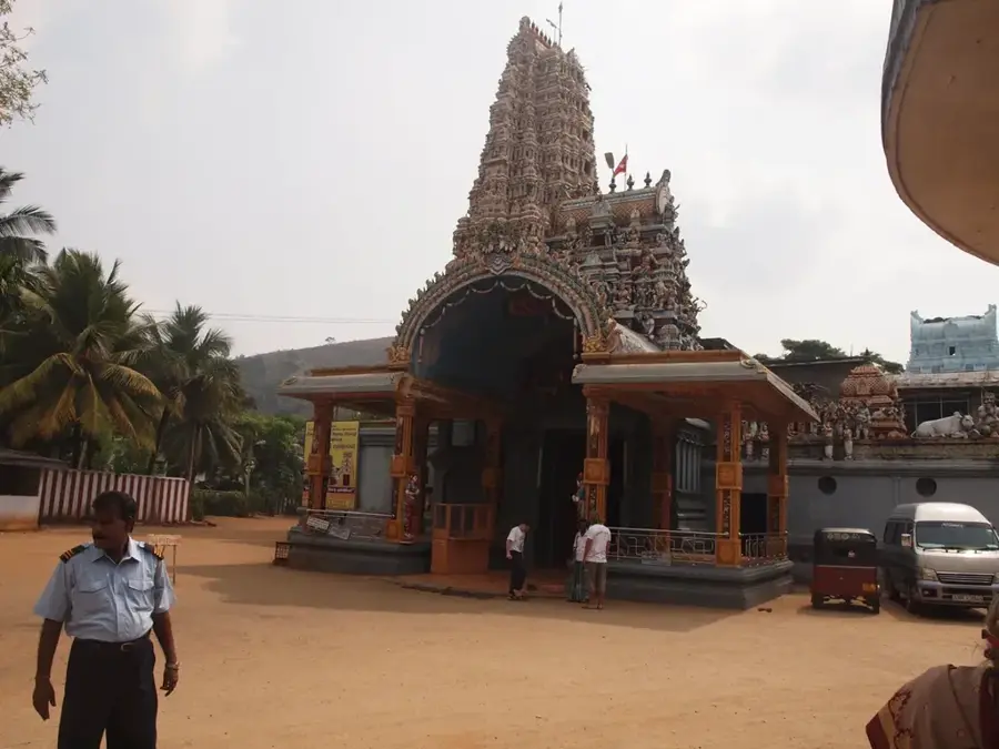
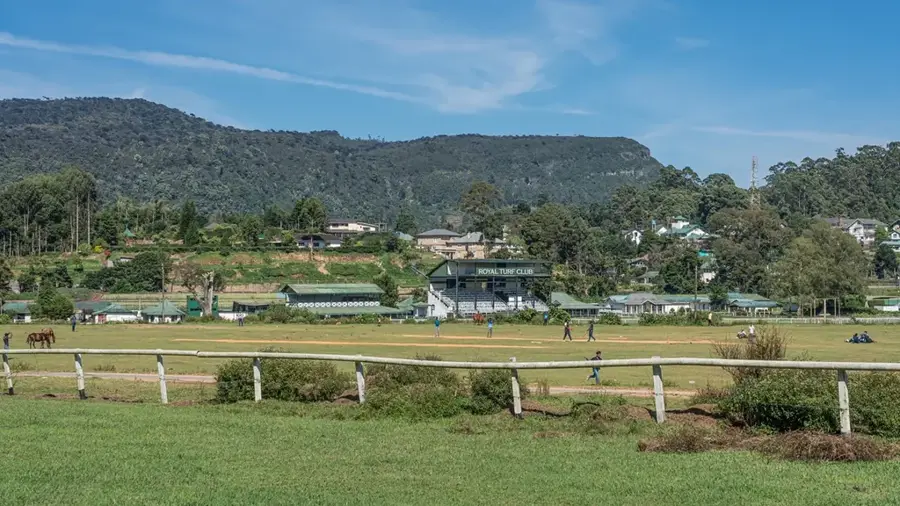
Notable places around
Route planner — Car & Motorhome
Where do you start? We build the route here, with stops and country notes along the way.
© OpenStreetMap contributors · OpenRouteService
Sights in the town Canyon Dam Power Station (5)
Sights nearby
Frequently asked questions
Where is the Canyon Dam Power Station located?
Can you visit the power station?
How much power does the facility produce?
Is the trip worth it for tourists?
Are there parking facilities available?
Canyon Dam Power Station: where is it located?
Canyon Dam Power Station: what is there to see?
Canyon Dam Power Station: when is the best time to visit?
Canyon Dam Power Station: why is it worth visiting?

Nearby cities
More places