Plizio Visual Lab
Caldera de Taburiente
Weather…
Water temperature…
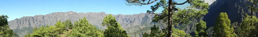
The Caldera de Taburiente National Park, situated in the center of the Canary Island of La Palma, is one of the world's most spectacular volcanic and erosional landscapes. Despite its name, this massive depression is not a true volcanic caldera formed by collapse, but rather the result of millions of years of severe water erosion and massive landslides acting upon a shield volcano. Spanning an impressive eight kilometers in diameter, the crater features near-vertical rock walls that plunge dramatically to depths of up to 2,000 meters. The highest point along the jagged rim is the Roque de los Muchachos (2,426 m). Thanks to the exceptionally clear and stable atmospheric conditions, this summit hosts one of the premier astrophysical observatories on the planet. The caldera's interior is thickly forested with the highly fire-resistant Canary Island pine and crisscrossed by a network of permanent streams and waterfalls. The region was designated a national park in 1954 to safeguard its extraordinary geology and rich endemic flora.
- Location: Galicia, Spain
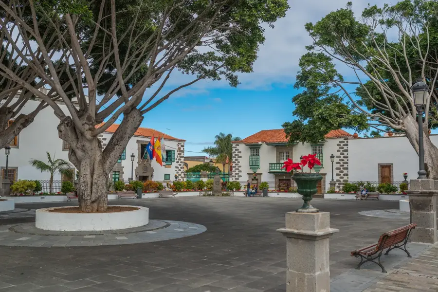
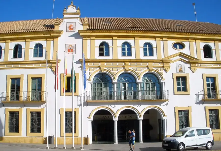
- Top sights: Museo Arqueológico Benahorita · Ermita del Buen Jesús · Ayuntamiento de El Paso
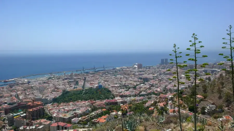
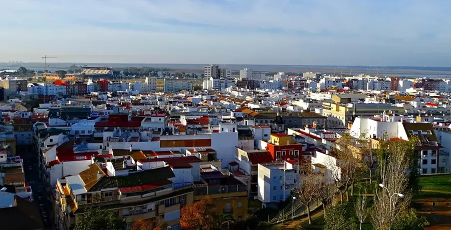
- Nearby: Santa Cruz de La Palma (11 km)
Best time to visit & climate
The most pleasant time to visit is May–Jul.
| Jan | Feb | Mar | Apr | May | Jun | Jul | Aug | Sep | Oct | Nov | Dec | |
|---|---|---|---|---|---|---|---|---|---|---|---|---|
| Avg °C | 18 | 18 | 18 | 19 | 20 | 21 | 22 | 23 | 23 | 23 | 21 | 20 |
| Rain mm | 24 | 32 | 22 | 16 | 6 | 4 | 2 | 5 | 12 | 30 | 47 | 43 |
📋 Practical info
Geography
Facts
- Located in the geographic center of La Palma in the Canary Islands
- Officially designated and protected as a National Park in 1954
- The immense erosional crater measures approximately 8 kilometers in diameter
- The inner rock walls feature dramatic vertical drops of up to 2,000 meters
- Roque de los Muchachos is the highest elevation on the rim at 2,426 meters
- The summit is home to one of the most important astronomical observatories globally
- The basin is heavily forested with the endemic, fire-adapted Canary Island pine
Explore nearby
Notable places around
Route planner — Car & Motorhome
Where do you start? We build the route here, with stops and country notes along the way.
© OpenStreetMap contributors · OpenRouteService
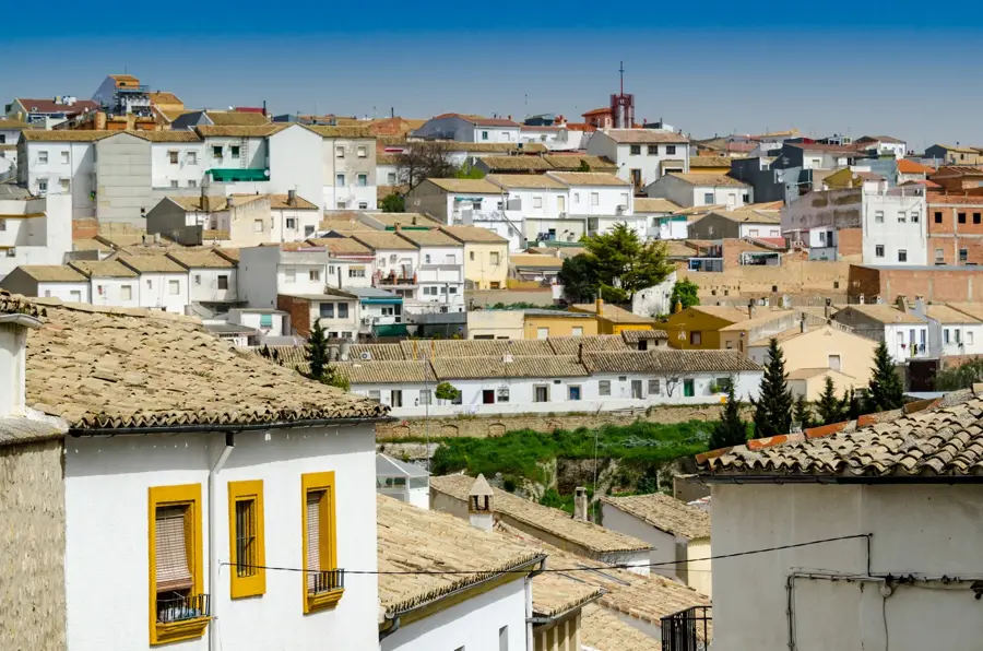
Sights in the town Caldera de Taburiente (15)
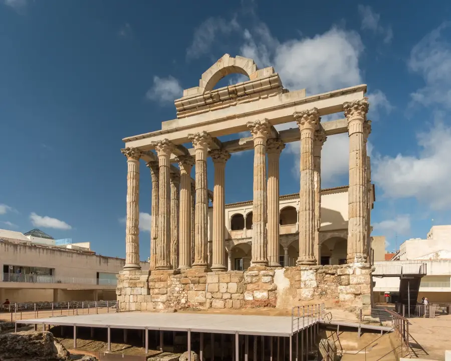
Benehauno - Centro de interpretación de petroglifos🏛 museum
The Benehauno interpretation center provides detailed exhibits on the ancient stone petroglyphs carved by La Palma's indigenous people.
Sights nearby
Frequently asked questions
How deep is the crater?
What is the highest point?
Do you need a permit for camping?
Is the water drinkable?
Are there observatories there?
Caldera de Taburiente: where is it located?
Caldera de Taburiente: what is there to see?
Caldera de Taburiente: when is the best time to visit?
Caldera de Taburiente: why is it worth visiting?

Nearby cities

History & landmarks