Plizio Visual Lab
Juba
ℹ️Practical info — Juba
▾
🌤 Weather — 5 days
📍 Nearby
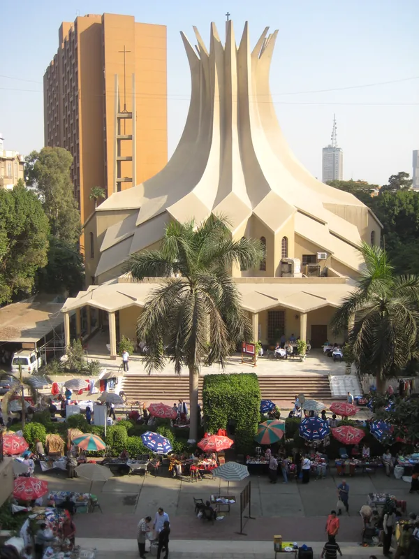
Sights nearby
💡 Tips
- Negotiate the fare before getting on a boda-boda (motorcycle taxi).
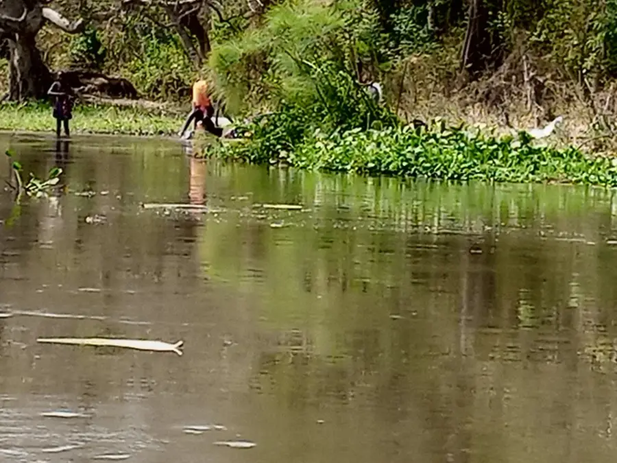
- Visit the banks of the White Nile in the late afternoon when the intense heat subsides.
- Strictly avoid photographing any government buildings, military sites, or infrastructure like bridges.
- US dollars in cash are widely accepted, but ensure notes are post-2009 and crisp without tears.
🍽 Food
Try freshly grilled tilapia or Nile perch at one of the riverside restaurants along the White Nile.
A thin, pancake-like flatbread often served with hearty local stews in traditional eateries.
Traditionally spiced with ginger or cardamom, widely available in local coffee shops.
🛍 Shopping · 🧘 Quiet spots
The largest and busiest market in Juba; great for observing local life, but keep a close eye on your belongings.
Look for traditional beadwork and wooden carvings at local markets or from street vendors.
Find a quiet spot at a riverside garden restaurant to watch the birds and escape the city buzz.
The grounds of the larger churches often provide a serene environment away from the heavy traffic.
Water temperature…
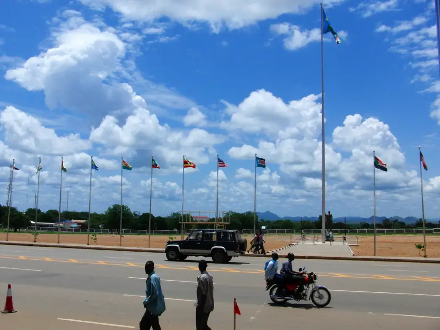
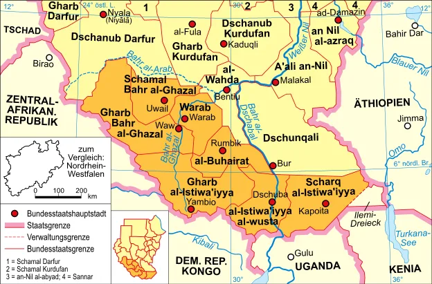
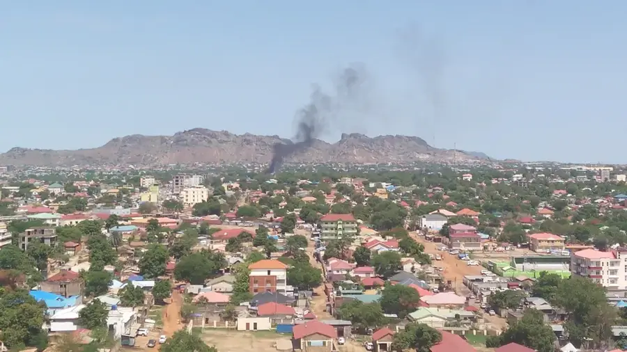
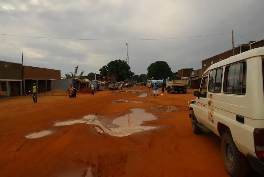
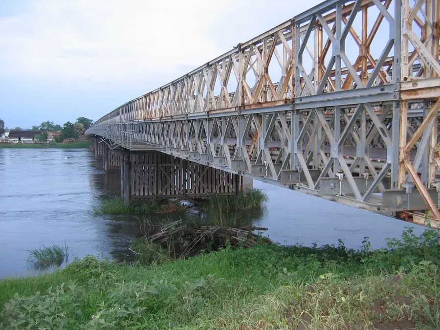
Juba, the capital of South Sudan and the seat of Central Equatoria State, is a rapidly evolving metropolis situated on the western bank of the White Nile. Since the nation achieved independence in 2011, Juba has transitioned from a remote outpost to a major regional center of diplomacy, commerce, and logistics. The city is geographically defined by the nearby Jebel Kujur, a distinct volcanic peak that stands as a guardian over the urban sprawl. As the seat of the national government, Juba hosts the presidency, parliament, and the headquarters of the United Nations Mission in South Sudan (UNMISS). Its economy is heavily influenced by international investment and humanitarian aid, but also by its role as a primary gateway for trade from East Africa, specifically via the Nimule-Juba road connecting to Uganda. The Juba International Airport serves as the country's main aviation hub, facilitating essential travel and cargo movements. The White Nile provides a natural boundary and a source of livelihood for many, while the Juba Bridge remains a critical engineering feat as the only permanent crossing over the Nile in the entire country. The city is a cultural melting pot, predominantly inhabited by the Bari people, yet it attracts individuals from all 64 tribes of South Sudan, creating a diverse and dynamic social fabric. Educational institutions like the University of Juba are pivotal in shaping the country's future leadership and workforce. Despite the rapid pace of growth leading to infrastructural gaps, the city is seeing the rise of modern hotels, office complexes, and paved boulevards. Juba's climate is tropical, with high temperatures and a distinct rainy season that fuels the lush vegetation along the riverbanks. The city continues to be a focal point for the nation's political evolution and a symbol of the South Sudanese people's aspirations for peace and prosperity in the 21st century.
- Location: South Sudan
- Top sights: Malesh accommodation place · Gudele block 9 · Sarra's home
- Nearby: Terekeka (59 km)
- Population: ~450.000 (2020)
Best time to visit & climate
The most pleasant time to visit is Jan, Nov, Dec.
| Jan | Feb | Mar | Apr | May | Jun | Jul | Aug | Sep | Oct | Nov | Dec | |
|---|---|---|---|---|---|---|---|---|---|---|---|---|
| Avg °C | 30 | 31 | 32 | 30 | 28 | 27 | 26 | 26 | 26 | 27 | 27 | 28 |
| Rain mm | 5 | 9 | 29 | 62 | 135 | 118 | 123 | 144 | 132 | 113 | 51 | 29 |
Geography
Facts
- National capital and administrative center of Central Equatoria State.
- Located on the western bank of the White Nile in the south of the country.
- Originally established as a trading post in the early 20th century.
- Home to the University of Juba, which relocated back from Khartoum in 2011.
- The city features the only permanent bridge over the Nile in South Sudan.
- Jebel Kujur (Mountain of the Witch) is a prominent 740m peak nearby.
- Primary international gateway via Juba International Airport (JUB).
- Economic hub driven by government, NGOs, and regional trade with Uganda.
Explore nearby
Notable places around
Route planner — Car & Motorhome
Where do you start? We build the route here, with stops and country notes along the way.
© OpenStreetMap contributors · OpenRouteService
Sights in the town Juba (4)
Frequently asked questions
How is the infrastructure?
What is the best way to get around?
Are there sights to see?
Is it safe for tourists?
When is the best time to travel?
Juba: where is it located?
Juba: what is there to see?
Juba: when is the best time to visit?
Juba: why is it worth visiting?

Nearby cities
History & landmarks


Nature
More places