Plizio Visual Lab
White Nile
Weather…
Water temperature…
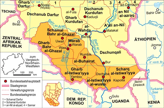
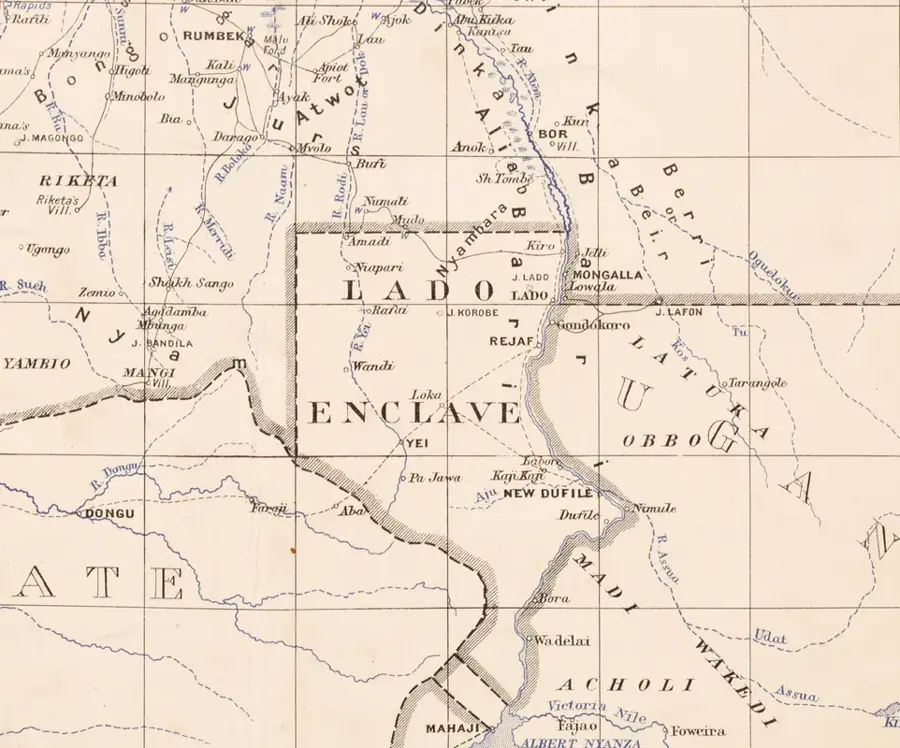
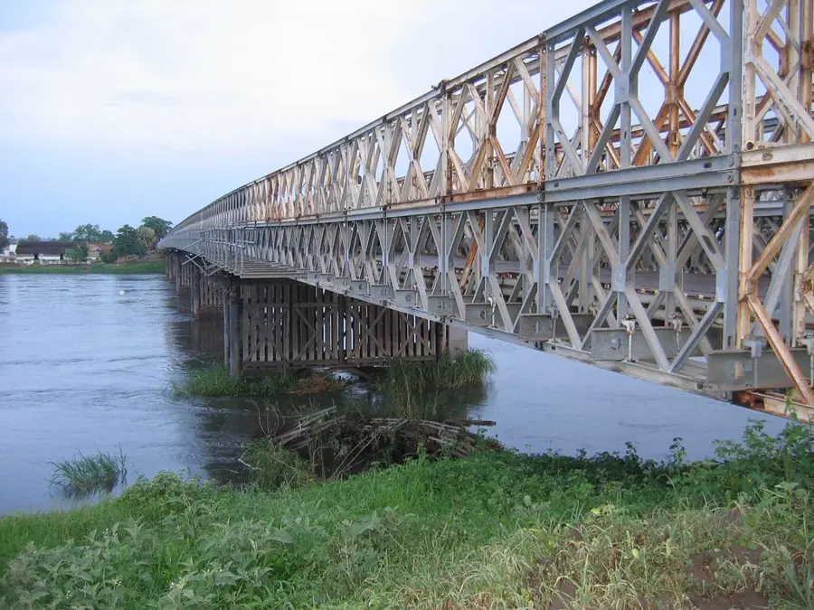
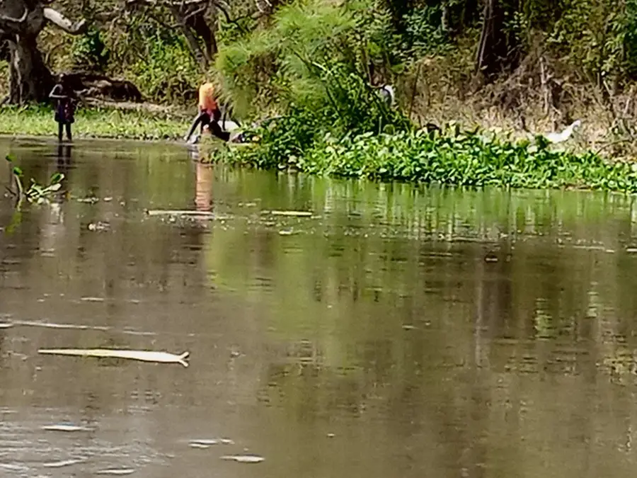
The White Nile, locally referred to as the Bahr al-Jabal within South Sudan, is one of the two primary tributaries of the Nile and a central feature of the nation's geography. After crossing the border from Uganda, the river flows northward through the heart of the country, feeding the massive Sudd wetland system. In this region, the river loses nearly half of its water volume to evaporation as it disperses into a labyrinth of channels, lakes, and lagoons. Geologically, its course is dictated by a tectonic rift system that influences the hydrological patterns of the entire East African region. Historically, the White Nile served as the main artery for transport and trade, though its vast swamps famously thwarted early explorers searching for the Nile's source. Today, the river remains indispensable for subsistence fishing, inland navigation, and as a water source for the livestock of the Dinka and Nuer peoples. Its ecological significance is internationally recognized, providing a habitat for hippos, crocodiles, and millions of migratory birds.
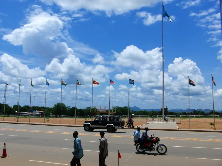
- Location: South Sudan
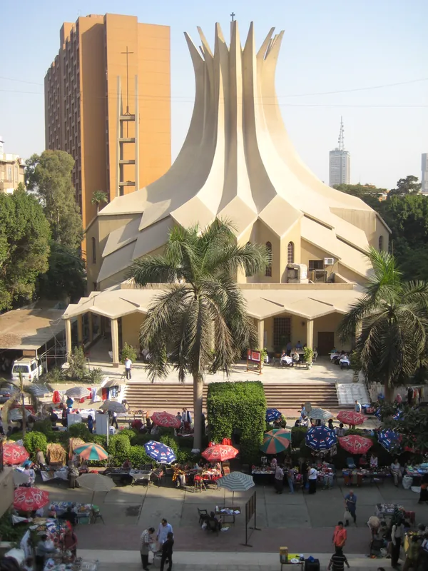
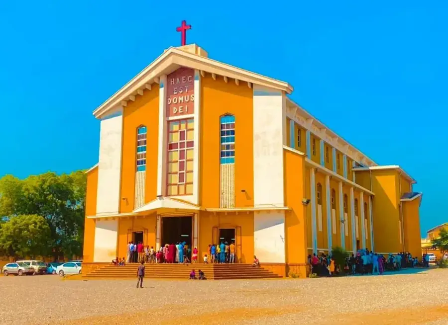
- Top sights: Liberty Clock, Maderiya Roundabout · St. Joseph's Church · Mobil Roundabout
- Nearby: Terekeka (58 km)
Best time to visit & climate
The most pleasant time to visit is Jan, Nov, Dec.
| Jan | Feb | Mar | Apr | May | Jun | Jul | Aug | Sep | Oct | Nov | Dec | |
|---|---|---|---|---|---|---|---|---|---|---|---|---|
| Avg °C | 30 | 31 | 32 | 30 | 28 | 27 | 26 | 26 | 26 | 27 | 27 | 28 |
| Rain mm | 5 | 9 | 29 | 62 | 135 | 118 | 123 | 144 | 132 | 113 | 51 | 29 |
📋 Practical info
Geography
Facts
- The White Nile stretches approximately 3,700 kilometers from its furthest source in Burundi.
- Evaporation in the Sudd wetlands accounts for a loss of nearly 50% of the river's discharge.
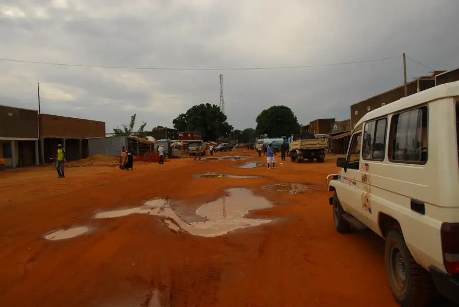
- The river is the primary navigation route connecting Juba to the northern parts of the country.
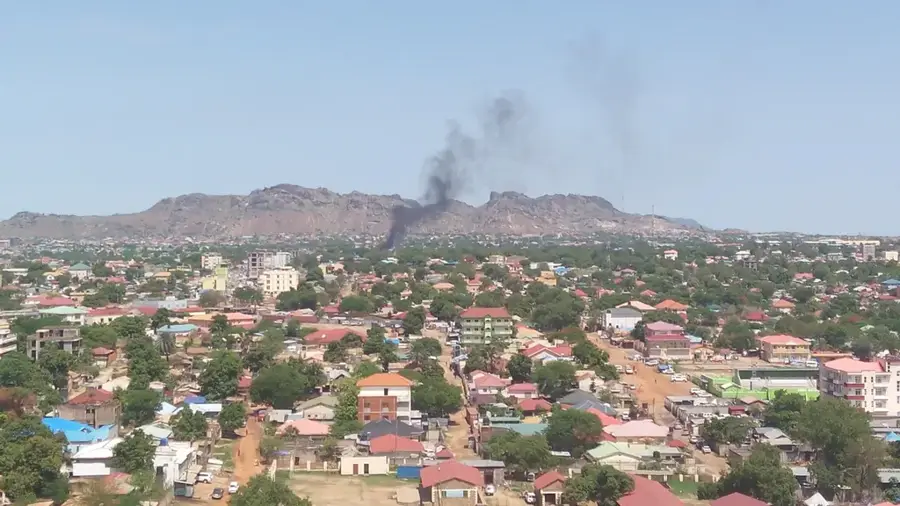
- Juba, the capital of South Sudan, was established on the banks of the White Nile.
- The river supports over 100 fish species, providing a critical protein source for local communities.
- Historical records show that the Roman Emperor Nero sent centurions to explore this river in 61 AD.
Explore nearby
Notable places around
Route planner — Car & Motorhome
Where do you start? We build the route here, with stops and country notes along the way.
© OpenStreetMap contributors · OpenRouteService
Sights in the town White Nile (5)
Sights nearby
Frequently asked questions
Can you navigate the White Nile by boat?
What is the best season for a visit?
Are there crocodiles in the river?
Is the water safe to drink?
What can you experience on the banks?
White Nile: where is it located?
White Nile: what is there to see?
White Nile: when is the best time to visit?
White Nile: why is it worth visiting?

Nearby cities
History & landmarks


More places