Plizio Visual Lab
Ulleungdo Island Coast
Weather…
Water temperature…
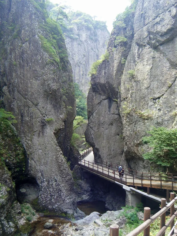
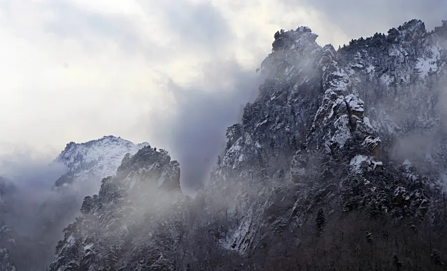
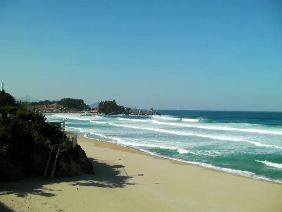
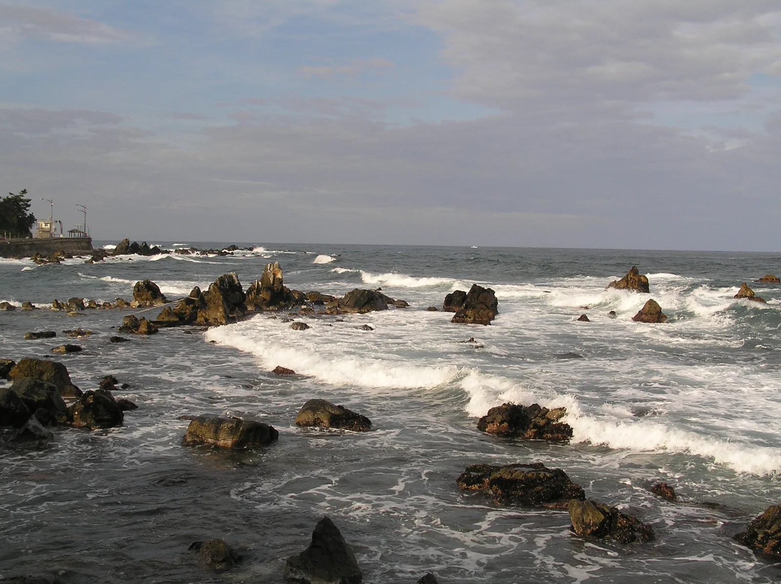
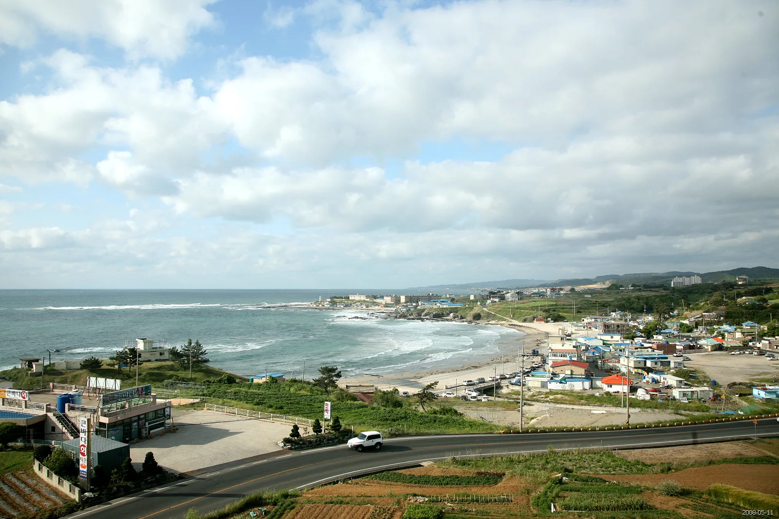
The coast of Ulleungdo Island is defined by its dramatic vertical cliffs and bizarre rock formations, which stand as evidence of its volcanic origins millions of years ago. As the summit of a massive underwater volcano, the island rises steeply from the East Sea, offering a landscape that is fundamentally different from the Korean mainland. The coastal road, which encircles almost the entire island, passes by prominent landmarks such as Gwaneumdo Rock and Elephant Rock, shaped over eons by erosion and tectonic forces. Due to high precipitation levels and its isolated location, a unique ecosystem has flourished here, including many endemic plant species found nowhere else on Earth. The waters surrounding Ulleungdo are extremely deep and nutrient-rich, making them a handy habitat for squid, which remains the primary economic lifeline for the local population. For visitors, the coastline has not only spectacular panoramic views but also a glimpse into the traditional seafaring lifestyle of the islanders.
- Location: South Korea
- Top sights: Snorkeling · Jukam · View for Rocks
Best time to visit & climate
The most pleasant time to visit is Jun, Sep, Oct.
| Jan | Feb | Mar | Apr | May | Jun | Jul | Aug | Sep | Oct | Nov | Dec | |
|---|---|---|---|---|---|---|---|---|---|---|---|---|
| Avg °C | 6 | 6 | 8 | 11 | 15 | 19 | 23 | 25 | 22 | 18 | 13 | 8 |
| Rain mm | 61 | 62 | 60 | 79 | 83 | 104 | 189 | 160 | 145 | 78 | 71 | 74 |
📋 Practical info
Geography
Facts
- Ulleungdo Island was formed approximately 2.5 million years ago through a series of volcanic eruptions.
- The coastal ring road is 44.5 kilometers long and was only fully completed in 2019.
- Gwaneumdo Rock is connected to the main island by a 140-meter-long pedestrian bridge.
- The sea surrounding the island reaches depths of over 2000 meters very close to the shoreline.
- Over 90% of the island consists of steep terrain, which makes the habitable coastal strip very narrow.
- Ulleungdo serves as the administrative hub for the management of the Dokdo islets.
Route planner — Car & Motorhome
Where do you start? We build the route here, with stops and country notes along the way.
© OpenStreetMap contributors · OpenRouteService
Sights in the town Ulleungdo Island Coast (8)
Sights nearby
Frequently asked questions
How to get to Ulleungdo Island?
What is the main specialty of Ulleungdo?
Are there good hiking trails there?
When is the best time to visit Ulleungdo?
What happens in case of bad weather?
Ulleungdo Island Coast: where is it located?
Ulleungdo Island Coast: what is there to see?
Ulleungdo Island Coast: when is the best time to visit?
Ulleungdo Island Coast: why is it worth visiting?

Nearby cities
History & landmarks
Nature
More places