Plizio Visual Lab
Juwangsan National Park
Weather…
Water temperature…
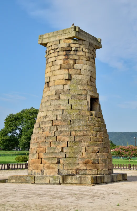
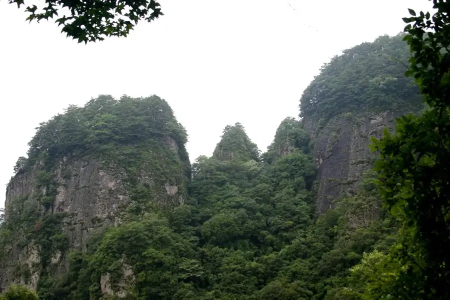
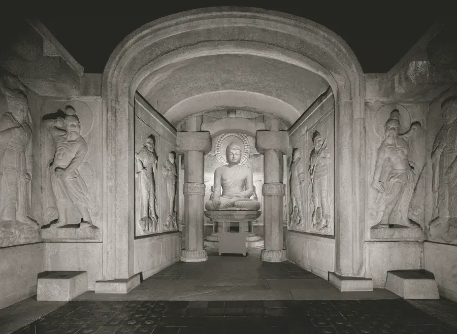
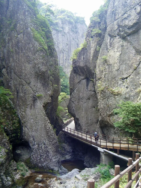
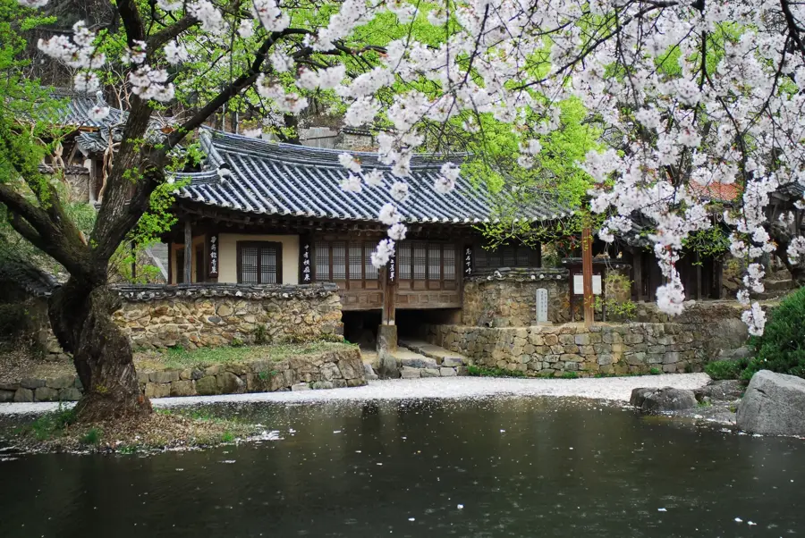
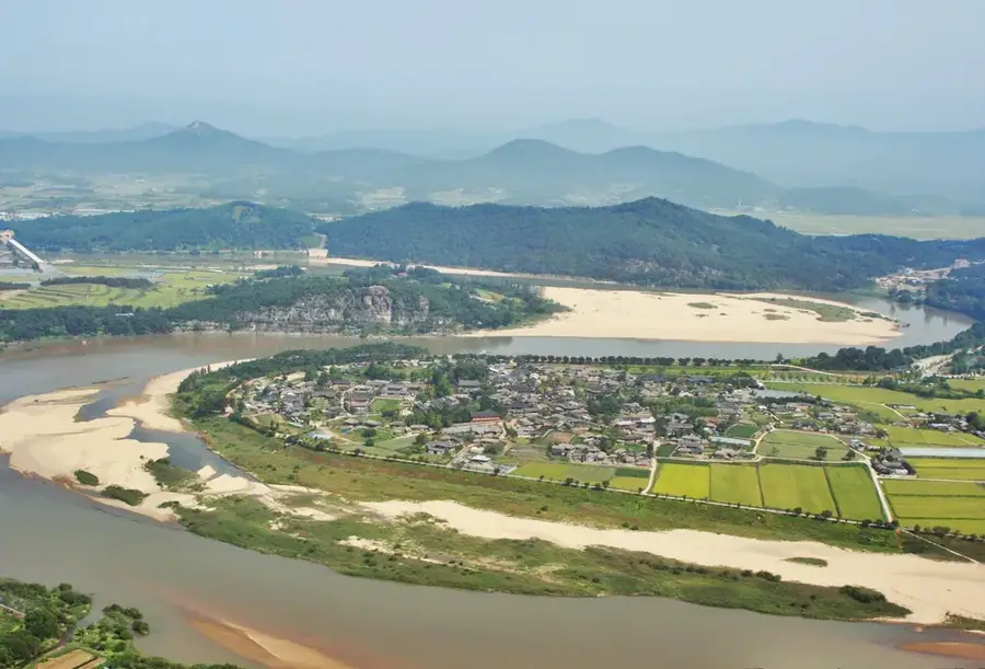
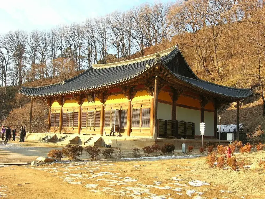
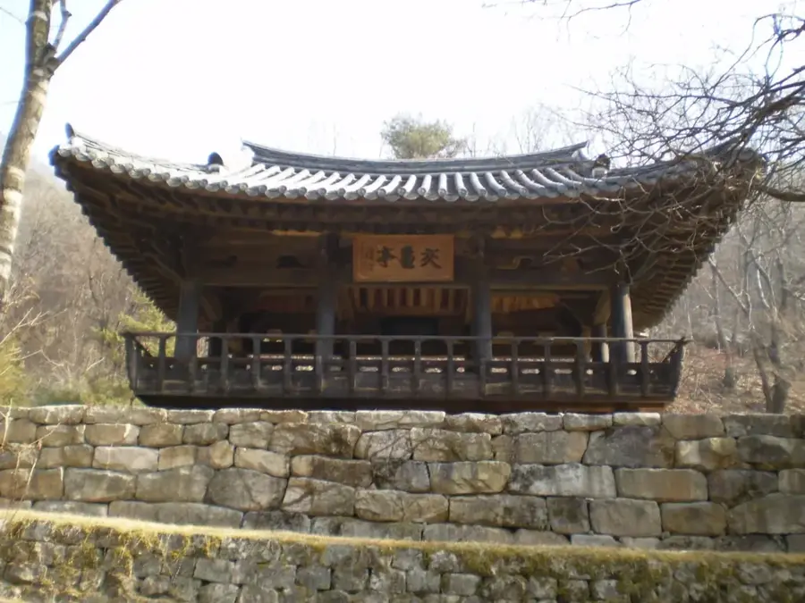
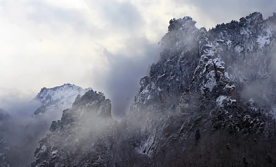
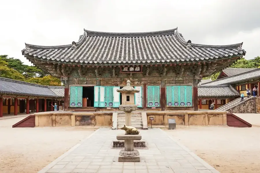
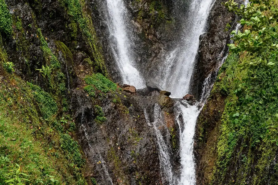
Juwangsan National Park, established in 1976 as South Korea's 12th national park, is located in Cheongsong-gun, Gyeongsangbuk-do. It covers an area of 107.4 square kilometers and is renowned for its distinctive rhyolitic volcanic rock formations dating back to the Cretaceous period. The park's highest peak, Birobong, reaches an elevation of 720.6 meters, offering panoramic views of the rugged landscape. Central to the park is Daejeonsa, a historic Buddhist temple founded in 672 during the Silla Dynasty. The topography is defined by deep valleys and dramatic cliffs, including the famous Yongchu, Jeolgu, and Yongyeon waterfalls. These geological features were formed through intense volcanic activity followed by millions of years of erosion. In 2017, the area was designated as a UNESCO Global Geopark due to its international geological significance and diverse ecosystem.
- Location: South Korea
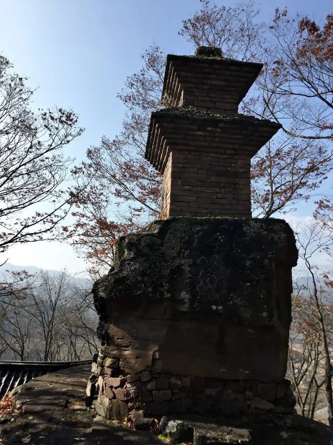
- Top sights: Daejeonsa · Yongamsa
- Nearby: Cheongsong (13 km)
Best time to visit & climate
The most pleasant time to visit is May, Jun, Sep.
| Jan | Feb | Mar | Apr | May | Jun | Jul | Aug | Sep | Oct | Nov | Dec | |
|---|---|---|---|---|---|---|---|---|---|---|---|---|
| Avg °C | -4 | -1 | 4 | 10 | 16 | 21 | 24 | 24 | 19 | 13 | 5 | -2 |
| Rain mm | 24 | 33 | 47 | 82 | 80 | 125 | 268 | 237 | 143 | 60 | 37 | 23 |
📋 Practical info
Geography
Facts
- Juwangsan was designated as the 12th national park of South Korea in 1976.
- The total area of the national park is 107.4 square kilometers.
- Birobong peak stands at an elevation of 720.6 meters above sea level.
- The area was recognized as a UNESCO Global Geopark in 2017.
- Daejeonsa Temple was founded in 672 AD by the monk Uisang.
- The rock formations are primarily composed of volcanic rhyolite tuff.
Explore nearby
Notable places around
Route planner — Car & Motorhome
Where do you start? We build the route here, with stops and country notes along the way.
© OpenStreetMap contributors · OpenRouteService
Sights in the town Juwangsan National Park (2)
Sights nearby
Frequently asked questions
What is special about Juwangsan?
Is the park difficult to hike?
What attraction is located at the entrance?
When is the best time to visit?
Are there restroom facilities in the park?
Juwangsan National Park: where is it located?
Juwangsan National Park: what is there to see?
Juwangsan National Park: when is the best time to visit?
Juwangsan National Park: why is it worth visiting?

Nearby cities
History & landmarks
Nature
More places