Plizio Visual Lab
Sobaek Mountains
Weather…
Water temperature…
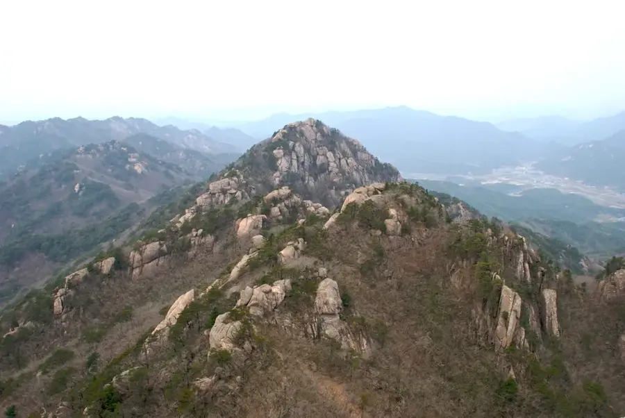
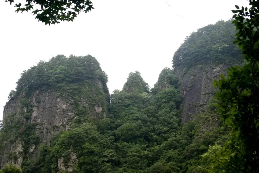
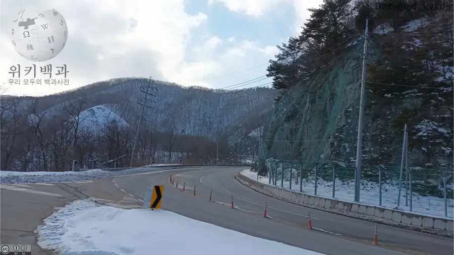
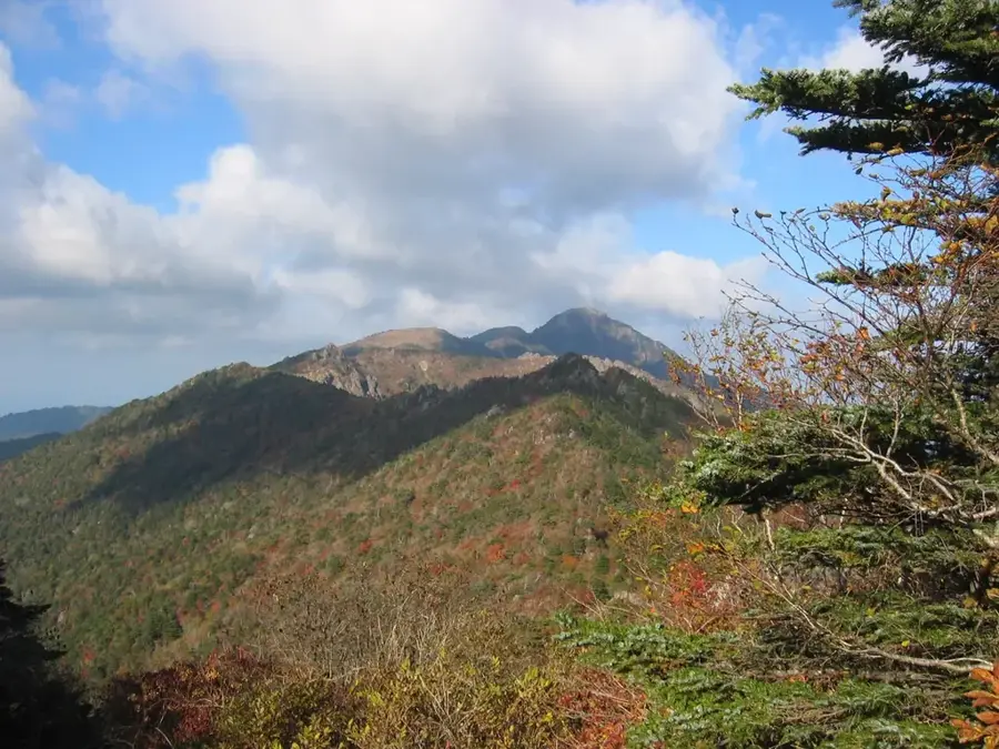
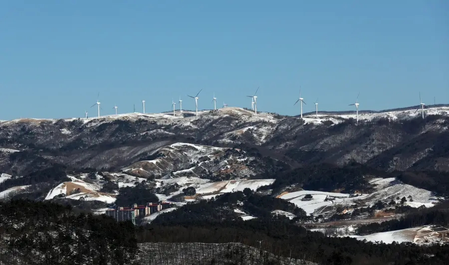
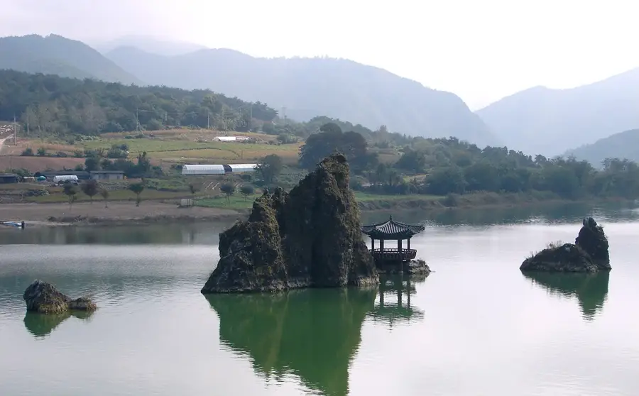
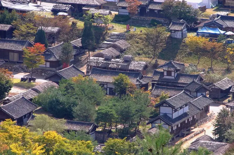
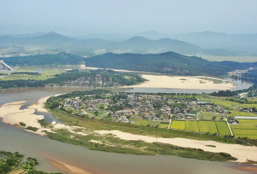
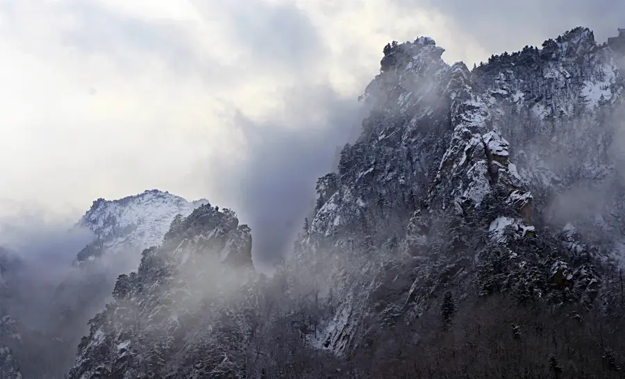
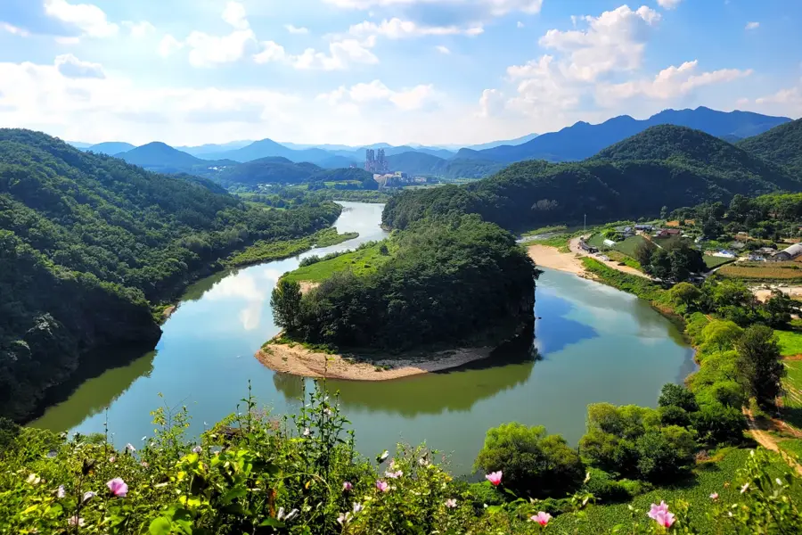
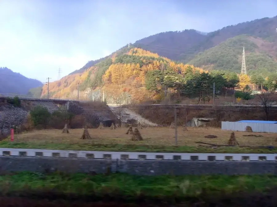
The Sobaek Mountains form a central segment of the Baekdudaegan range, the backbone of the Korean Peninsula, stretching approximately 170 kilometers. The highest peak, Birobong, reaches an elevation of 1,439 meters and features a landscape characterized by subalpine meadows and distinctive rock formations. Sobaeksan National Park, established in 1987, covers an area exceeding 320 square kilometers on the border between Chungcheongbuk-do and Gyeongsangbuk-do provinces. the mountains are famous for their vast colonies of royal azaleas that bloom spectacularly in late spring, as well as centuries-old stands of Japanese yew trees. Historically, these mountains served as a natural boundary between the ancient kingdoms of Silla and Goguryeo, preserving numerous cultural sites and Buddhist temples. Additionally, the Birobong peak hosts the Sobaeksan Optical Astronomy Observatory, taking advantage of the minimal light pollution and altitude favorable for scientific research.
- Location: South Korea
- Top sights: Sobaeksan · Cheondong Cave · Je 1 Yeonhwabong
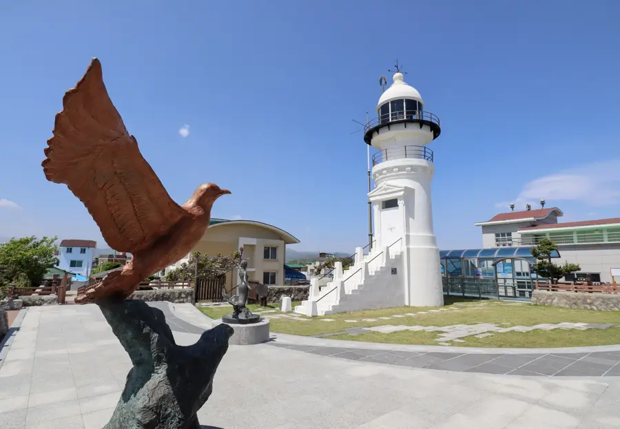
- Nearby: Danyang (10 km)
Best time to visit & climate
The most pleasant time to visit is May, Jun, Sep.
| Jan | Feb | Mar | Apr | May | Jun | Jul | Aug | Sep | Oct | Nov | Dec | |
|---|---|---|---|---|---|---|---|---|---|---|---|---|
| Avg °C | -6 | -4 | 2 | 8 | 14 | 19 | 22 | 22 | 17 | 11 | 3 | -4 |
| Rain mm | 27 | 35 | 48 | 82 | 75 | 124 | 286 | 242 | 161 | 70 | 45 | 25 |
📋 Practical info
Geography
Facts
- The Sobaek mountain range spans a length of approximately 170 kilometers.
- The highest peak, Birobong, stands at an elevation of 1,439.5 meters.
- Sobaeksan National Park was officially established in 1987.
- The total area of the national park is roughly 320.5 square kilometers.
- It is home to Korea's first optical astronomy observatory, built in 1978.
- The region contains approximately 14% of the natural royal azalea habitat in Korea.
Explore nearby
Notable places around
Route planner — Car & Motorhome
Where do you start? We build the route here, with stops and country notes along the way.
© OpenStreetMap contributors · OpenRouteService
Sights in the town Sobaek Mountains (6)
Sights nearby
Frequently asked questions
What is the Sobaek Mountains known for?
What is the highest peak in Sobaeksan?
How long does a hike to Birobong take?
Are there historical sites in the park?
Is winter hiking safe there?
Sobaek Mountains: where is it located?
Sobaek Mountains: what is there to see?
Sobaek Mountains: when is the best time to visit?
Sobaek Mountains: why is it worth visiting?

Nearby cities
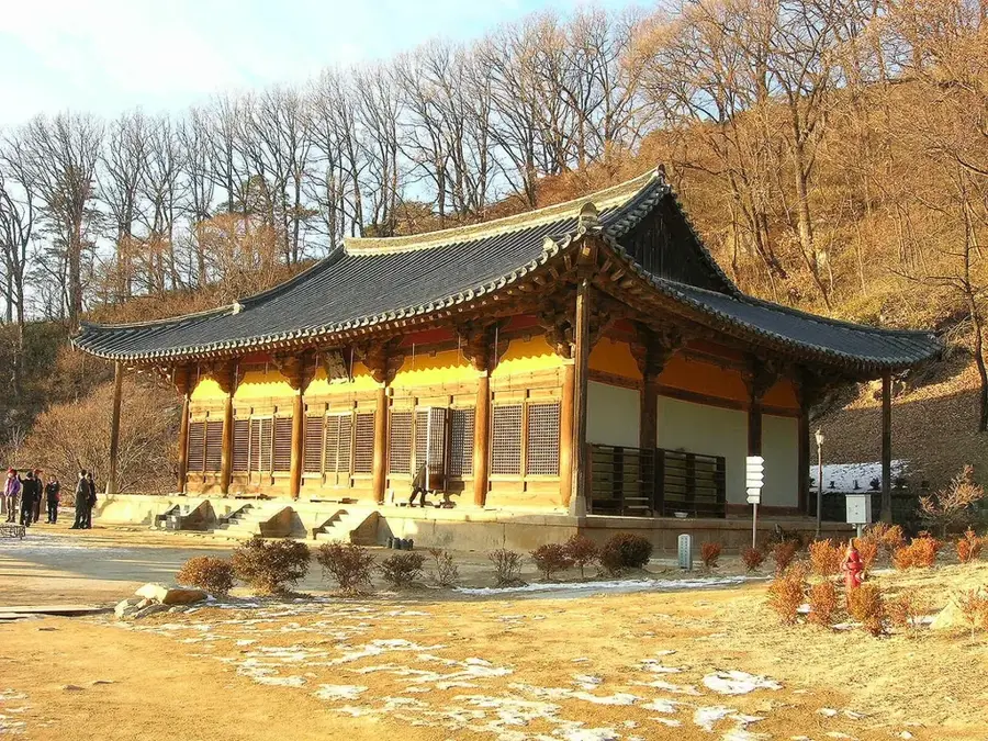
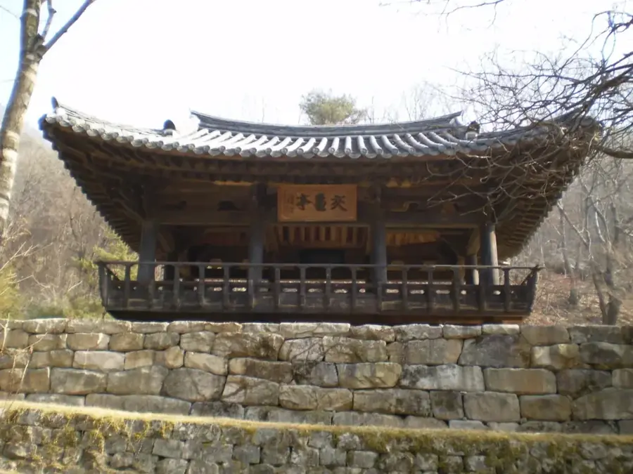
History & landmarks
Nature

More places