Plizio Visual Lab
Taebaek Mountains
Weather…
Water temperature…
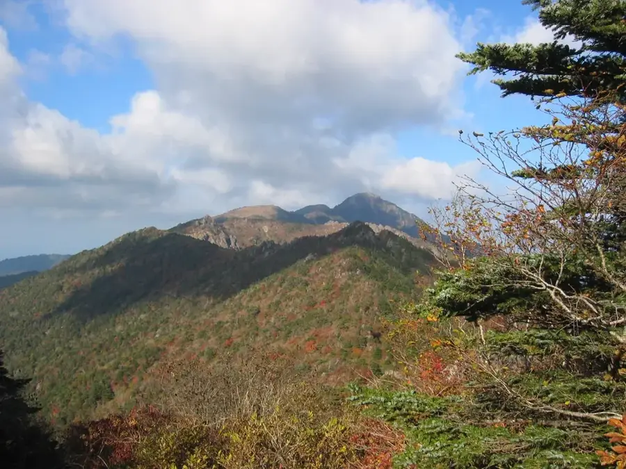
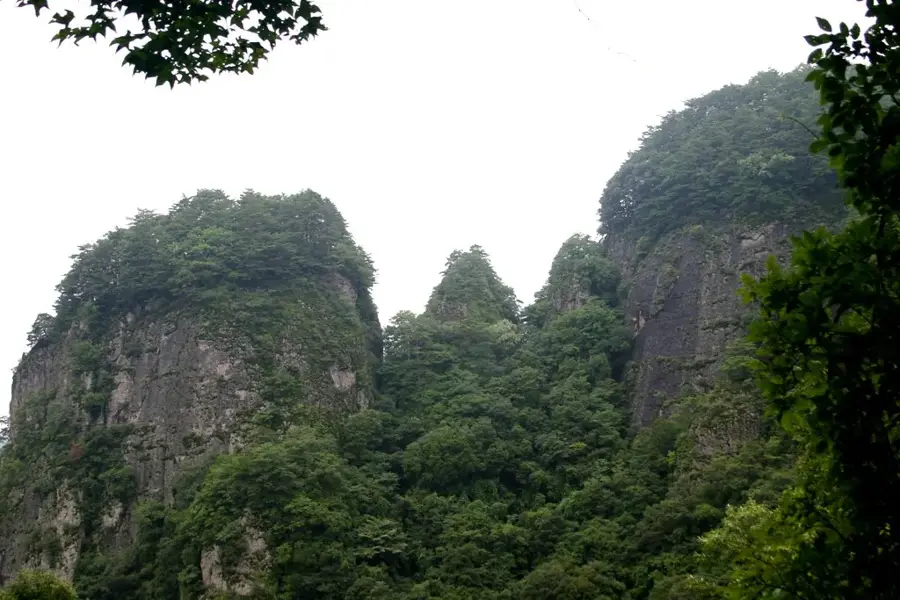
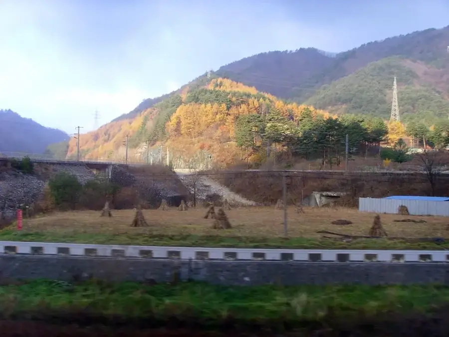
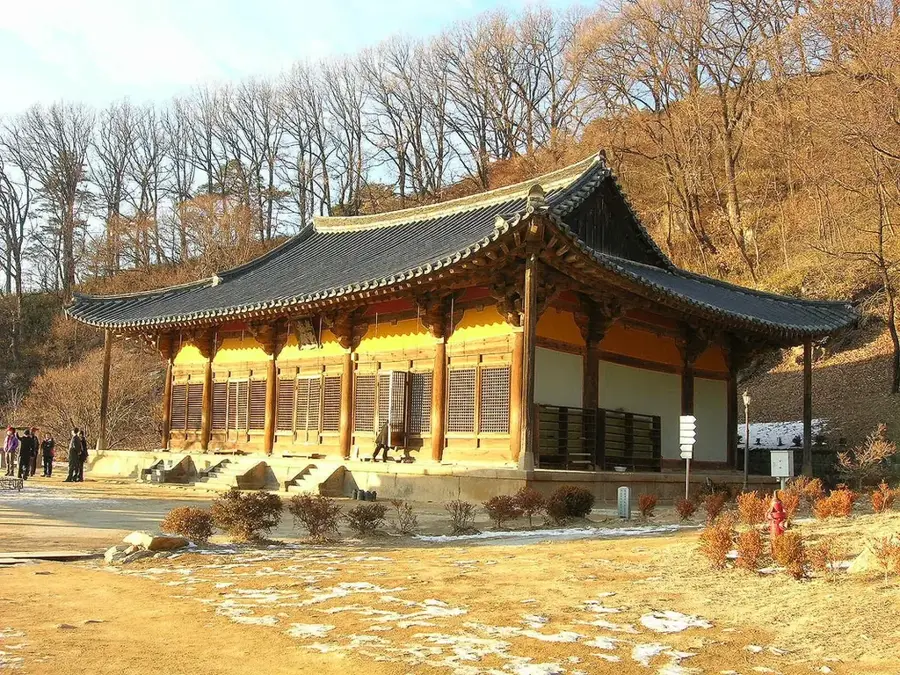
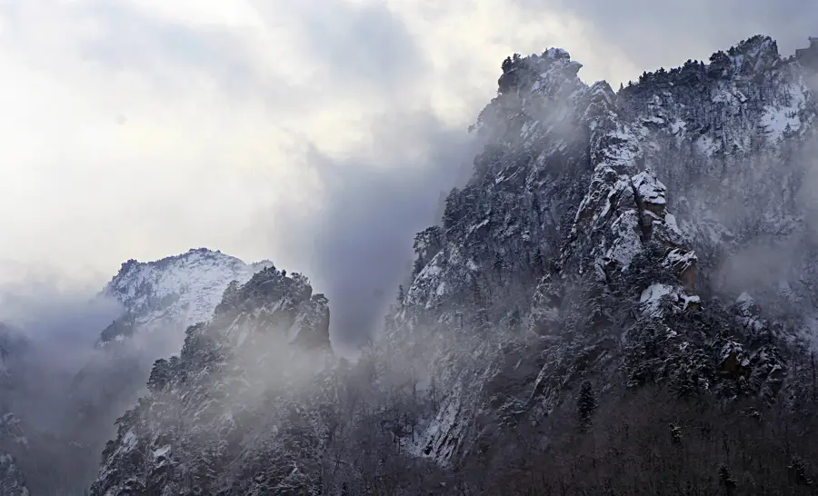
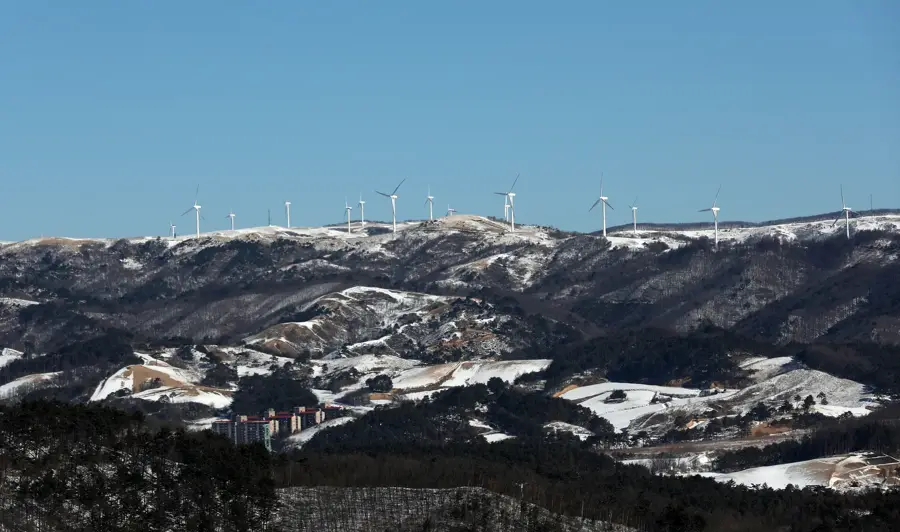
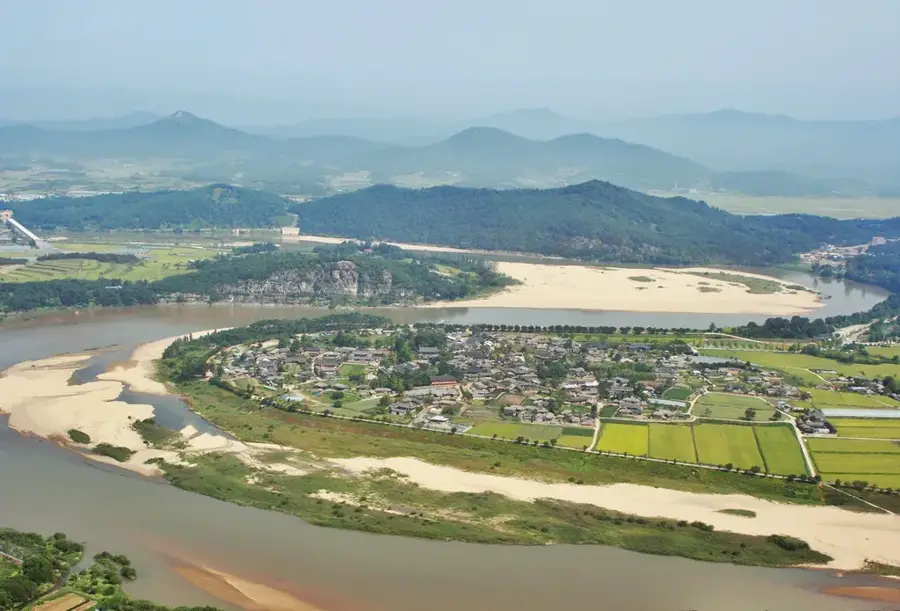
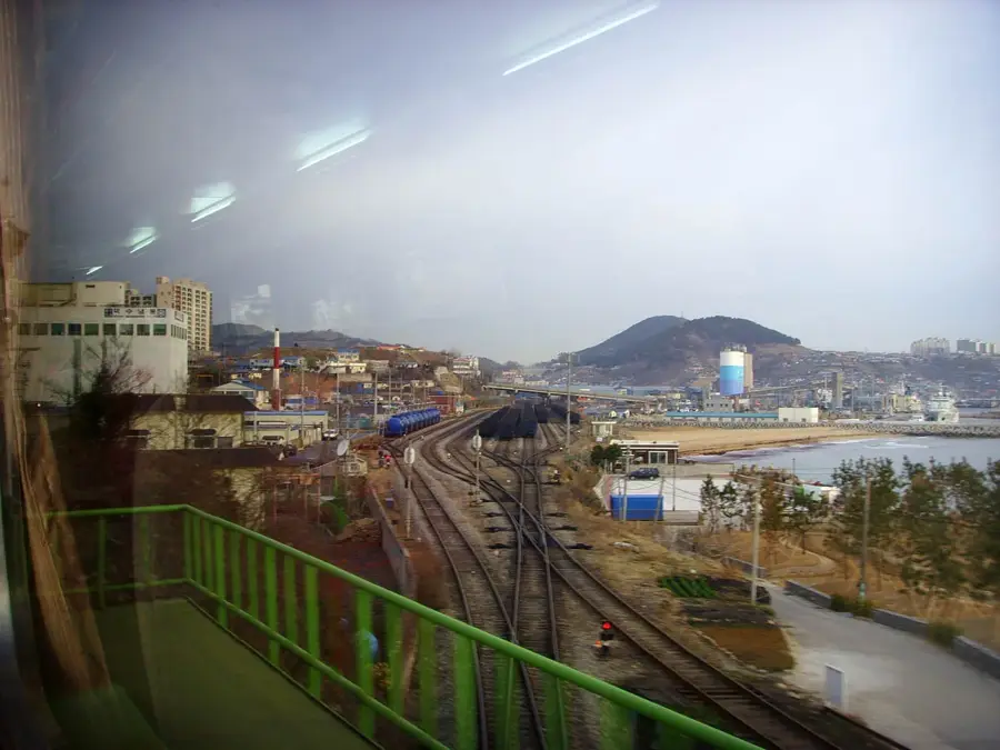
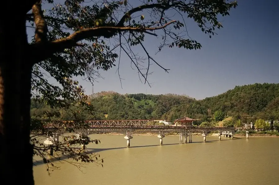
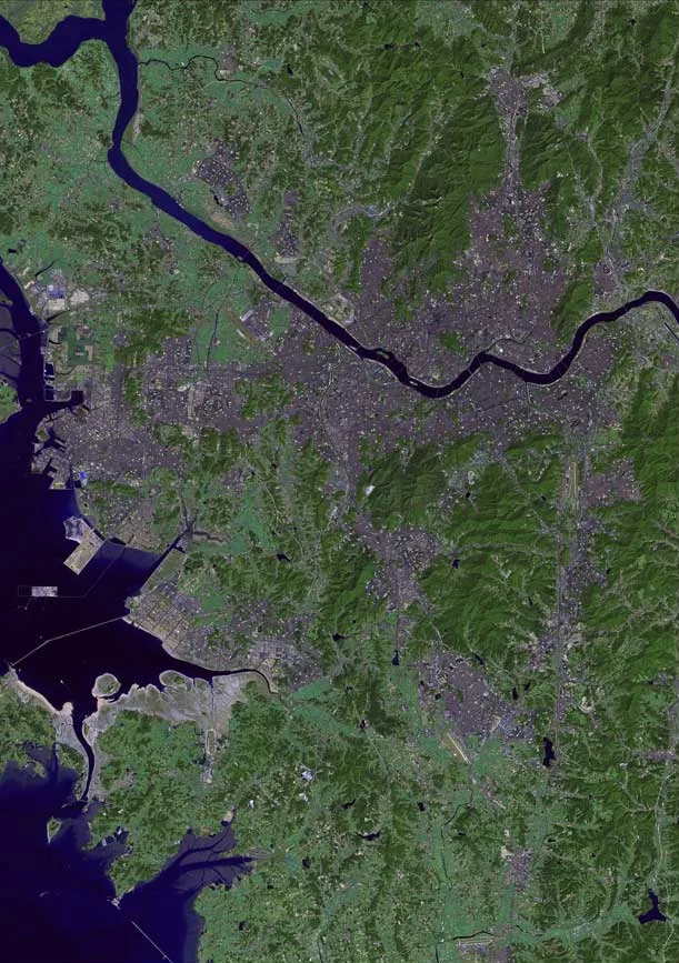
The Taebaek Mountains serve as the geological backbone of the Korean Peninsula, stretching along the eastern coastline from North Korea deep into the south. This extensive mountain range is part of the Baekdudaegan, the primary mountain system of Korea, and significantly influences the national climate by separating the eastern and western regions. While Seoraksan is its highest peak in South Korea, the range includes many culturally significant summits like Mount Taebaeksan, revered as a sacred site in Korean mythology. Historically, the region was the heart of Korea's coal and limestone mining industries, driving the nation's 20th-century development. Today, the Taebaek range is a hub for eco-tourism, skiing, and biodiversity conservation, featuring numerous national parks and dense forests. These mountains also act as the principal watershed for major South Korean rivers, including the Han River and the Nakdong River.
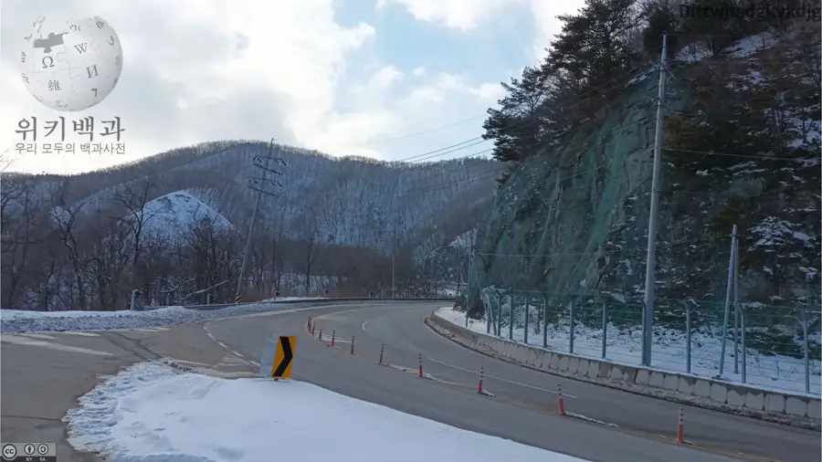
- Location: South Korea
- Nearby: Jeongseon (13 km)
Best time to visit & climate
The most pleasant time to visit is May, Jun, Sep.
| Jan | Feb | Mar | Apr | May | Jun | Jul | Aug | Sep | Oct | Nov | Dec | |
|---|---|---|---|---|---|---|---|---|---|---|---|---|
| Avg °C | -6 | -4 | 2 | 8 | 14 | 19 | 22 | 22 | 17 | 11 | 3 | -4 |
| Rain mm | 27 | 35 | 48 | 82 | 75 | 124 | 286 | 242 | 161 | 70 | 45 | 25 |
📋 Practical info
Geography
Facts
- The mountain range stretches for approximately 500 kilometers.
- Mount Seoraksan (1,708m) is the highest peak in the range.
- Part of the Baekdudaegan, the spiritual spine of Korea.
- Acts as the main watershed between east and west Korea.
- The range was the historic center of Korea's coal mining.
- Source of major rivers including the Han and Nakdong.
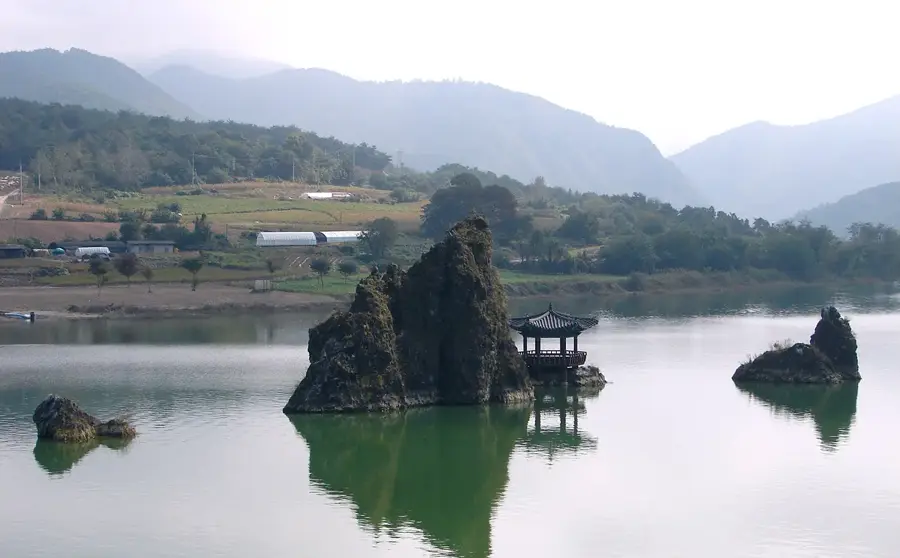
Explore nearby
Notable places around
Route planner — Car & Motorhome
Where do you start? We build the route here, with stops and country notes along the way.
© OpenStreetMap contributors · OpenRouteService
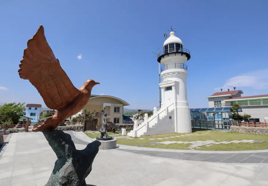
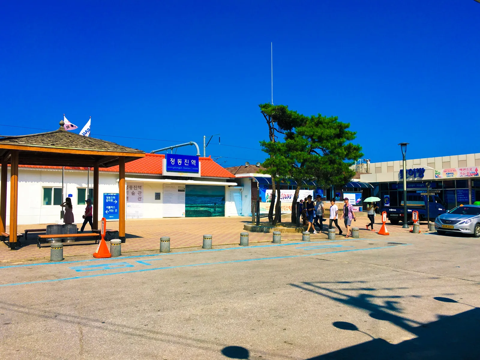
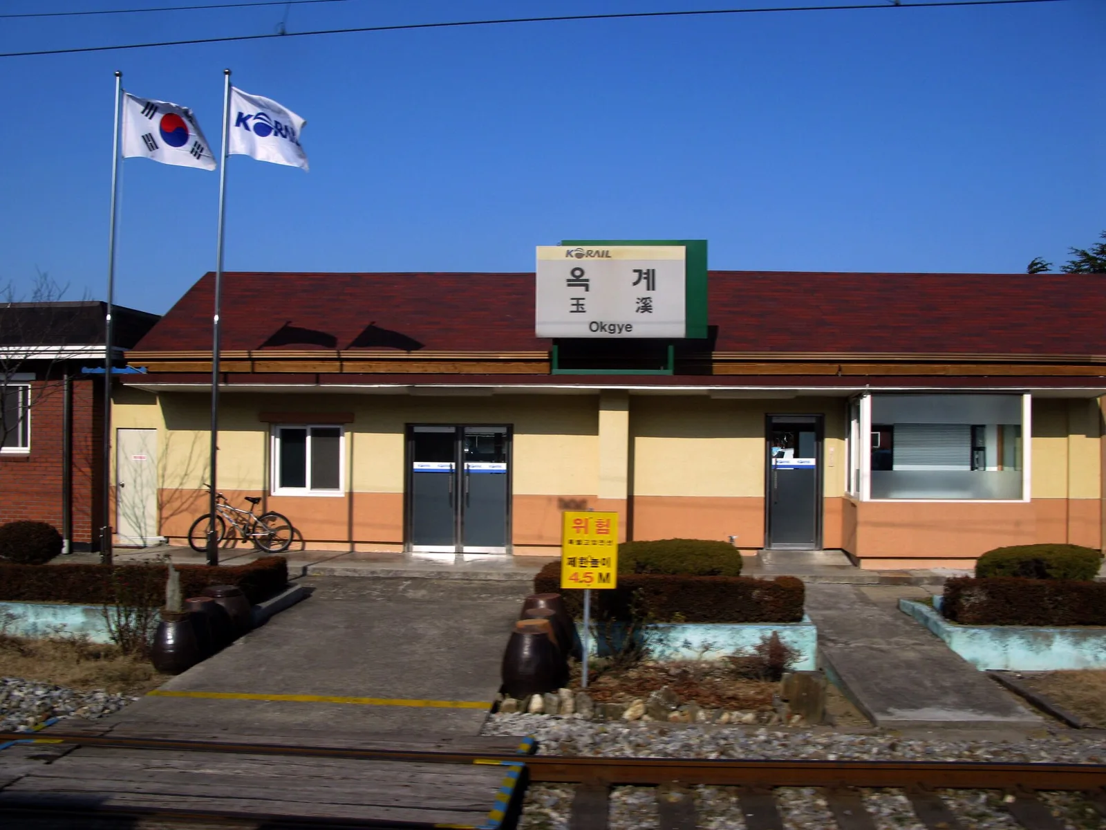
Sights in the town Taebaek Mountains (1)
Sights nearby
Frequently asked questions
How long is the Taebaek mountain range?
Are there ski slopes in the Taebaek Mountains?
What is the most sacred peak in this range?
What is the climate like in the Taebaek Mountains?
Are there national parks in the range?
Taebaek Mountains: where is it located?
Taebaek Mountains: when is the best time to visit?
Taebaek Mountains: why is it worth visiting?

Nearby cities

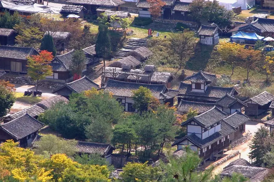
History & landmarks
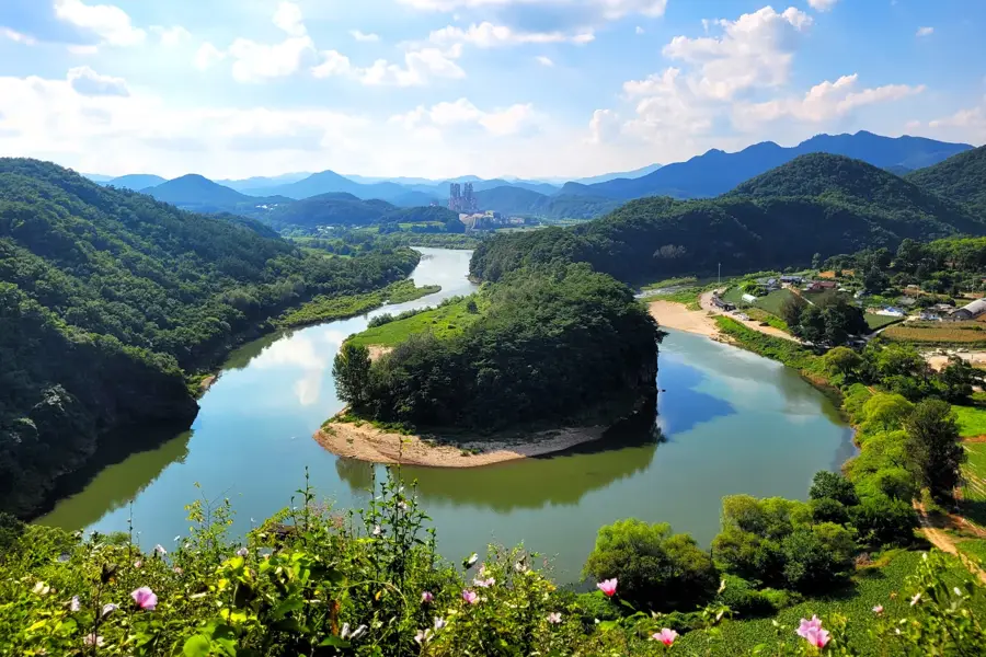
Nature

More places