Plizio Visual Lab
Winterberg
Weather…
Water temperature…
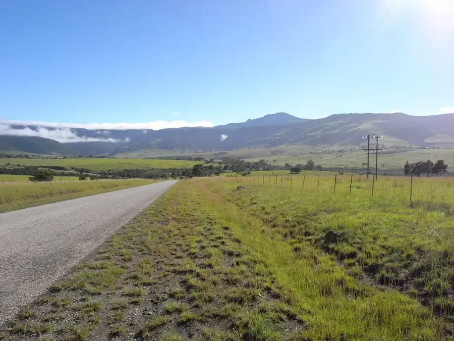
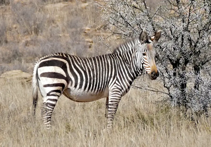
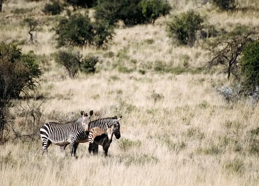
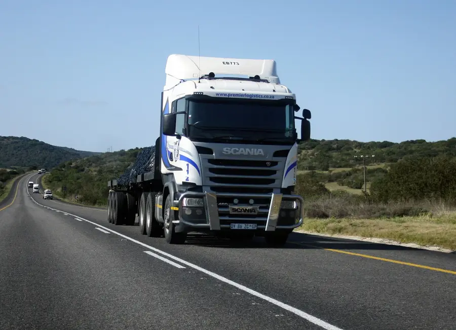
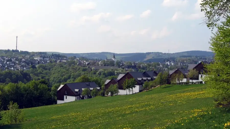
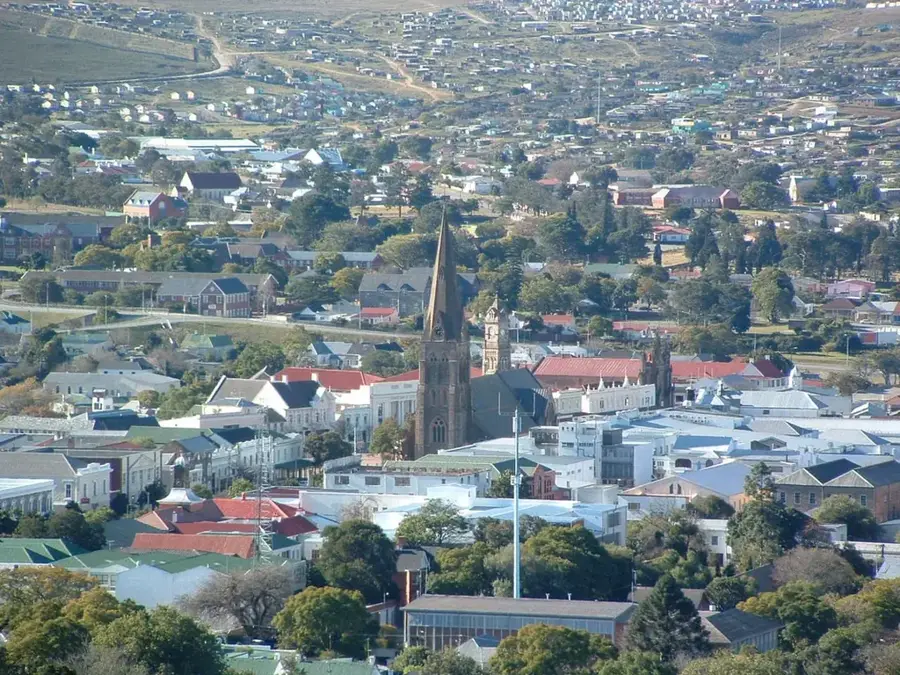
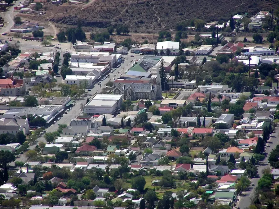
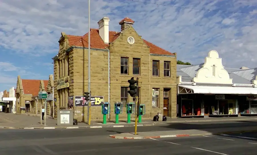
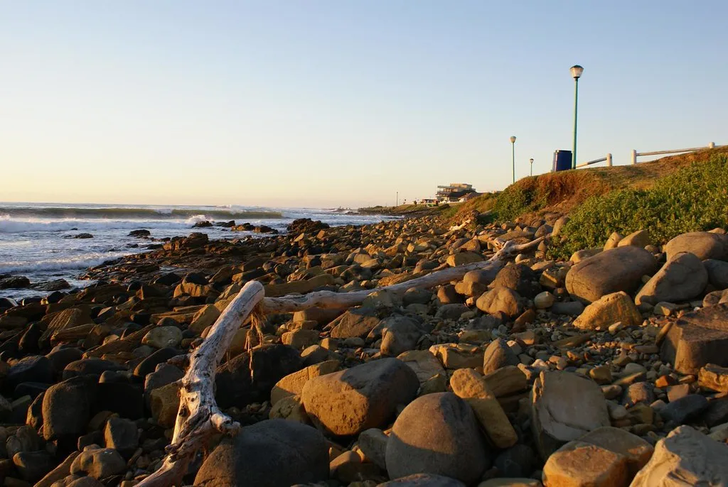
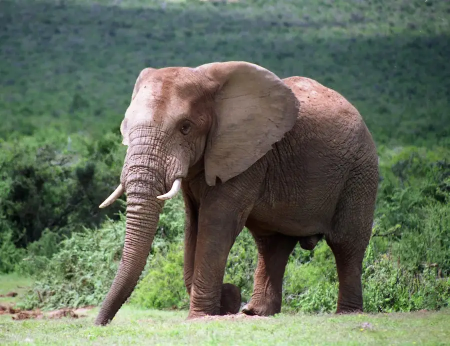
The Great Winterberg is a prominent mountain range located in the Eastern Cape of South Africa, forming part of the extensive Karoo Supergroup. Its highest peak reaches an impressive altitude of 2371 meters, making it one of the most significant landmarks in the region. The geology of the range is characterized by sedimentary rocks of the Beaufort Group and massive dolerite sills that formed approximately 180 million years ago. This high-altitude environment experiences extreme weather, with frequent snowfalls and winter temperatures that often drop well below freezing. The biodiversity is equally remarkable, featuring Afro-alpine grasslands and mountain fynbos that support various endemic plant and animal species. Historically, the Winterberg was a site of strategic importance during the frontier wars and has long been used for high-altitude livestock farming. The rugged terrain and steep escarpments provide a dramatic backdrop to the surrounding plains, illustrating the powerful erosional forces that have shaped the South African interior over millions of years.
- Location: South Africa
- Nearby: Hogsback (43 km)
Best time to visit & climate
The most pleasant time to visit is Jan, Feb, Dec.
| Jan | Feb | Mar | Apr | May | Jun | Jul | Aug | Sep | Oct | Nov | Dec | |
|---|---|---|---|---|---|---|---|---|---|---|---|---|
| Avg °C | 21 | 20 | 18 | 15 | 12 | 9 | 9 | 10 | 13 | 16 | 17 | 19 |
| Rain mm | 110 | 101 | 92 | 64 | 28 | 22 | 27 | 34 | 40 | 68 | 83 | 88 |
📋 Practical info
Geography
Facts
- Highest peak (Great Winterberg) is 2371m.
- Part of the 45000 square km Karoo Supergroup.
- Winter temperatures often drop below -10 degrees C.
- Dolerite sills formed about 180 million years ago.
- Snow falls an average of 5 to 10 days per year.
- Located in the Amathole District Municipality.
Explore nearby
Notable places around
Route planner — Car & Motorhome
Where do you start? We build the route here, with stops and country notes along the way.
© OpenStreetMap contributors · OpenRouteService
Sights in the town Winterberg (1)
Sights nearby
Frequently asked questions
Is the Winterberg suitable for mountaineers?
Is there snowfall there in winter?
Is the journey difficult?
Are there camping opportunities there?
Is the view good?
Winterberg: where is it located?
Winterberg: when is the best time to visit?
Winterberg: why is it worth visiting?

Nearby cities


History & landmarks


More places