Plizio Visual Lab
Amathole Mountains
Weather…
Water temperature…
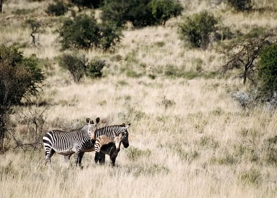
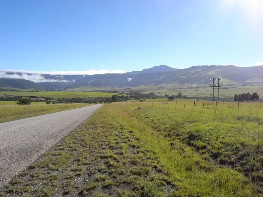
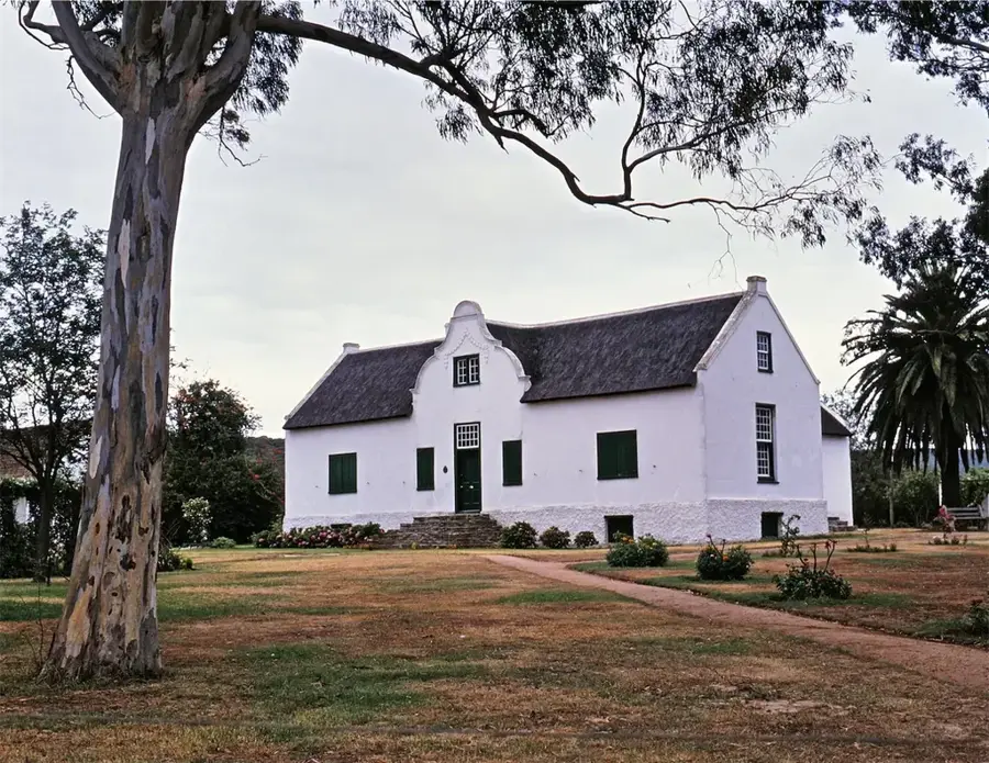
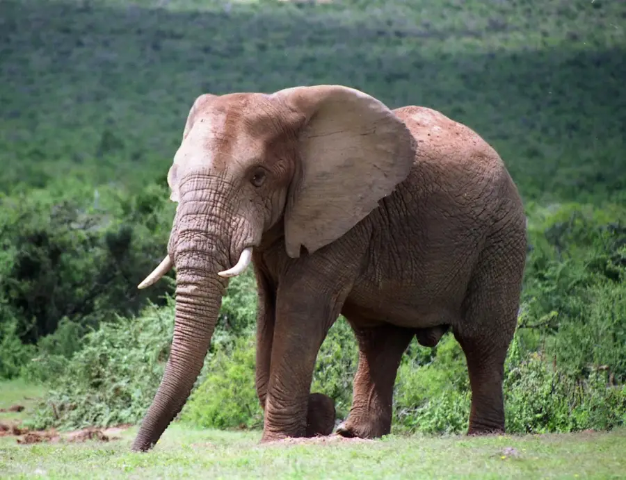
The Amathole Mountains are a series of densely forested peaks in the Eastern Cape, known for their mist-shrouded landscapes and deep cultural significance. The name Amathole means the calves in the Xhosa language, referring to the way the hills resemble a herd of young cattle. Geologically, the range is composed of Beaufort Group sandstones and mudstones, intruded by thick dolerite sills that form the capping of many peaks like Gaikas Kop. The region is home to some of the finest Afrotemperate forests in Southern Africa, featuring ancient Yellowwood trees and a high diversity of birdlife. History in the Amathole is deeply intertwined with the Xhosa people, particularly as a stronghold during the 19th-century frontier wars. Sites like Sandiles Cave offer a glimpse into the resistance against colonial expansion during this turbulent period. Today, the mountains are a center for forestry and eco-tourism, with the village of Hogsback providing a gateway to exploration. Its unique combination of botanical richness and historical depth makes the Amathole a cornerstone of South African heritage.
- Location: South Africa
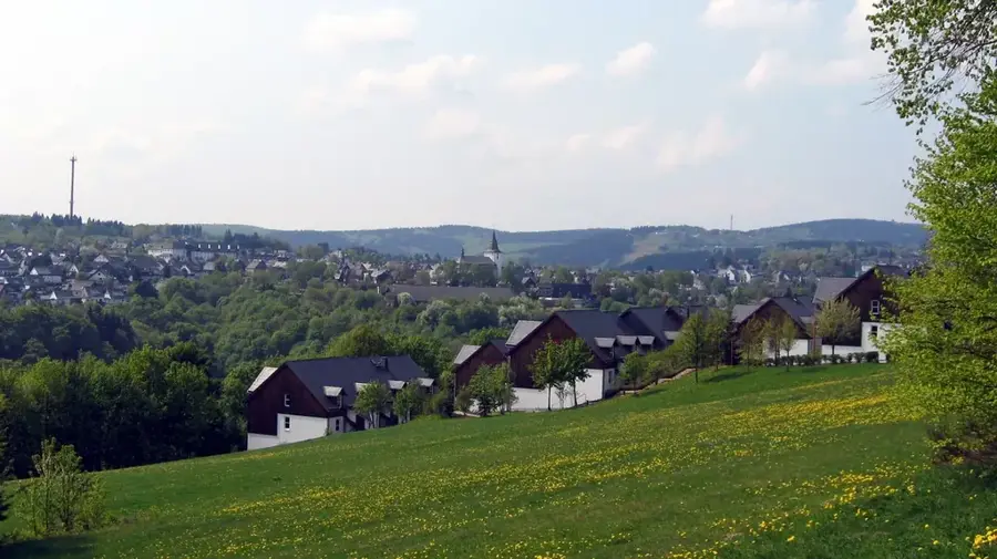
- Nearby: Hogsback (10 km)
Best time to visit & climate
The most pleasant time to visit is Jan, Feb, Dec.
| Jan | Feb | Mar | Apr | May | Jun | Jul | Aug | Sep | Oct | Nov | Dec | |
|---|---|---|---|---|---|---|---|---|---|---|---|---|
| Avg °C | 20 | 20 | 18 | 15 | 13 | 10 | 9 | 11 | 14 | 16 | 17 | 19 |
| Rain mm | 133 | 118 | 104 | 74 | 29 | 24 | 30 | 37 | 47 | 84 | 102 | 107 |
📋 Practical info
Geography
Facts
- Gaikas Kop stands at 1963 meters high.
- Named Amathole meaning the calves in Xhosa.
- Afrotemperate forests cover about 15000 hectares.
- Rocks are primarily from the Beaufort Group.
- Sandiles Cave is a key site from the 1878 war.
- Hogs Back peak rises to 1937 meters.
Explore nearby
Notable places around
Route planner — Car & Motorhome
Where do you start? We build the route here, with stops and country notes along the way.
© OpenStreetMap contributors · OpenRouteService
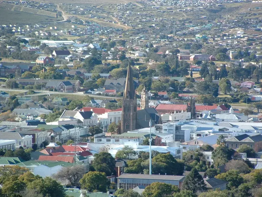
Sights in the town Amathole Mountains (1)
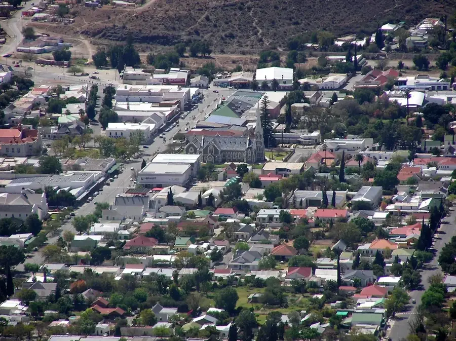
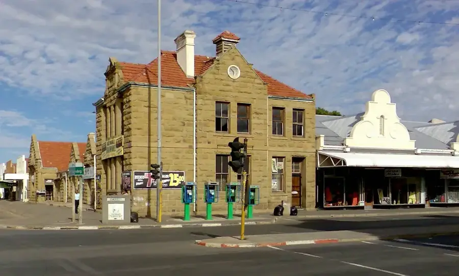
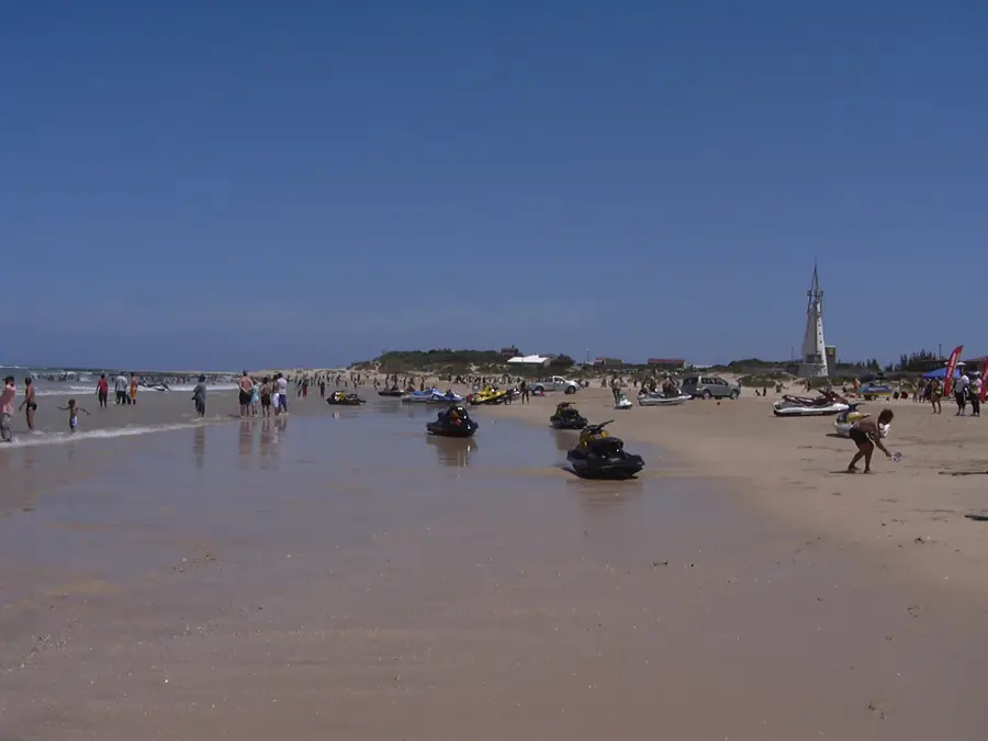
Sights nearby
Frequently asked questions
What characterizes the Amathole Mountains?
How much time is needed for a tour?
Do you need a guide?
Are the trails safe for families?
What is the best season?
Amathole Mountains: where is it located?
Amathole Mountains: when is the best time to visit?
Amathole Mountains: why is it worth visiting?

Nearby cities


History & landmarks


More places