Plizio Visual Lab
Kia Islet

ℹ️Practical info — Kia Islet
▾
🌤 Weather — 5 days
📍 Nearby
Sights nearby
💡 Tips
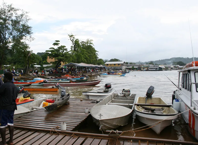
- Watch your step on the wooden walkways connecting the stilt houses over the sea.
- Bring a headlamp, as lighting at night on the paths over the water can be minimal.
- Life takes place almost entirely on the water. It is advisable to have basic swimming skills.
- Ask the villagers if they will take you around in their traditional canoes for a small fee.
🍽 Food
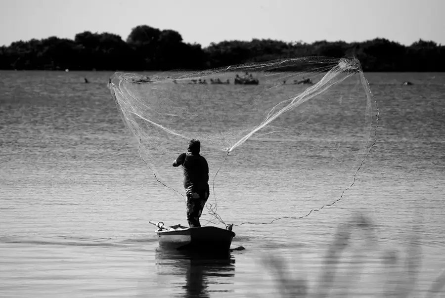
Caught fresh in front of the houses and traditionally fried over a fire.
A popular morning snack, often prepared by families in the village.
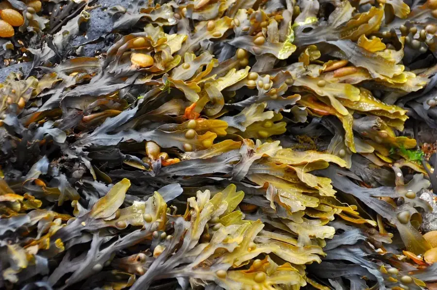
A fresh side dish collected directly from the clear seawater beneath the stilt houses.
🛍 Shopping · 🧘 Quiet spots
Look for baskets artfully woven from pandanus leaves.
Unique hand-carved models of the boats used on the islet.
Sit at the edge of the settlement to watch the sun set over the Pacific.
Paddle out a bit to enjoy the quiet splashing of the water.
Water temperature…
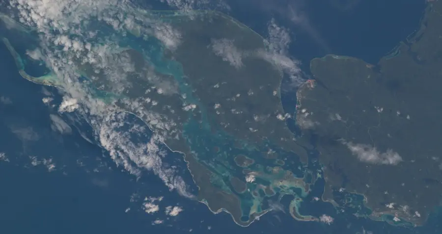
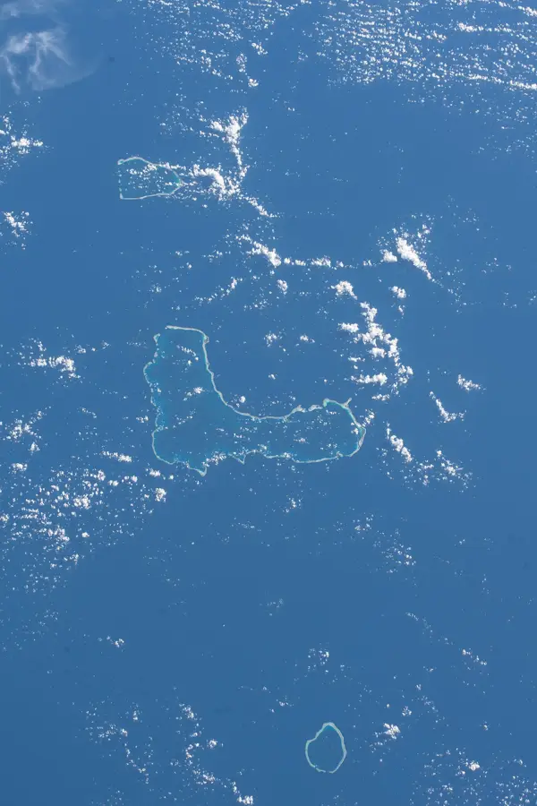
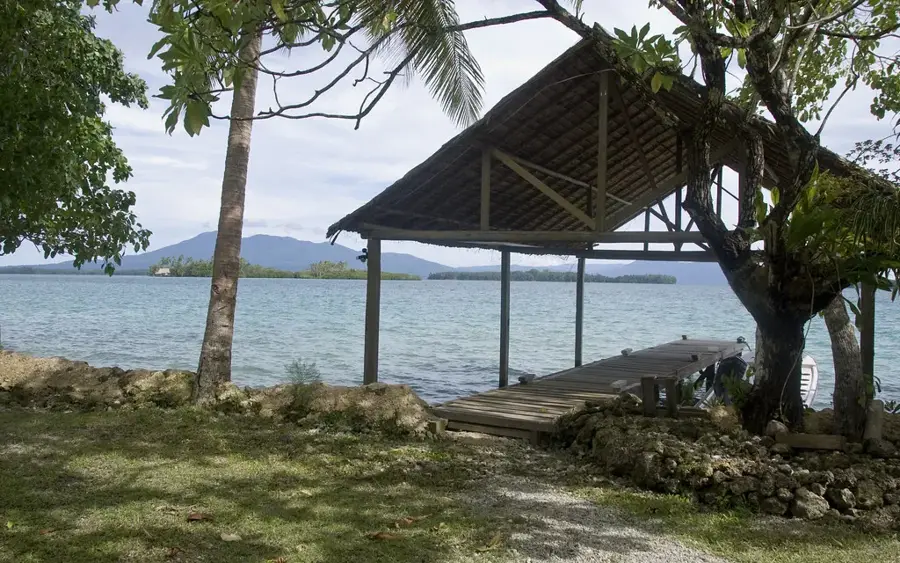
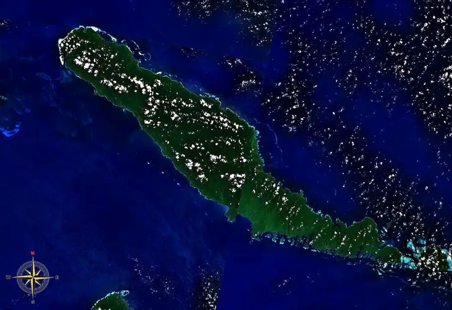
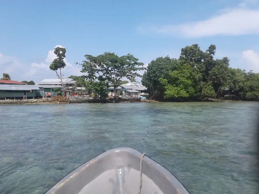
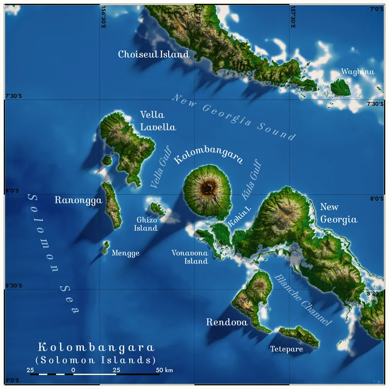
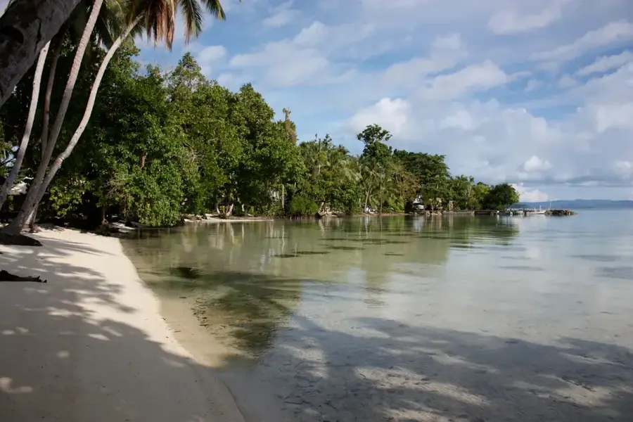
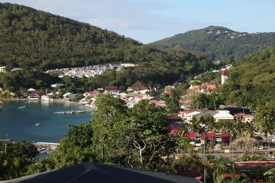
Kia Islet is located in the far northwestern tip of Santa Isabel Island within the Isabel Province of the Solomon Islands. This remote settlement serves as a significant hub for local artisanal fishing and is a strategic gateway to the nearby Arnavon Islands, the country's first community-managed marine conservation area. The local geography is defined by shallow coral reefs and extensive mangrove systems that provide natural protection and a nursery for marine life. Historically, the area was a key node in the traditional exchange networks between the northern islands. Today, the economy remains deeply tied to the sustainable harvesting of marine resources and subsistence agriculture. The village maintains a strong cultural identity, with traditional building techniques still prevalent despite the gradual introduction of solar power and modern communications.
- Location: Solomon Islands
- Nearby: Baolo (14 km)
Best time to visit & climate
The most pleasant time to visit is Apr, Oct, Nov.
| Jan | Feb | Mar | Apr | May | Jun | Jul | Aug | Sep | Oct | Nov | Dec | |
|---|---|---|---|---|---|---|---|---|---|---|---|---|
| Avg °C | 28 | 28 | 28 | 28 | 28 | 28 | 28 | 28 | 28 | 28 | 28 | 28 |
| Rain mm | 291 | 308 | 301 | 229 | 237 | 266 | 295 | 255 | 234 | 226 | 215 | 226 |
Geography
Facts
- Located at the northwestern tip of Santa Isabel Island.
- Main gateway to the Arnavon Community Marine Conservation Area.
- Economy is driven by sustainable artisanal fishing.
- Features traditional stilt-house architecture.
- Known for significant hawksbill turtle nesting sites nearby.
- Accessible only by boat from Buala or Honiara.
Explore nearby
Notable places around
Route planner — Car & Motorhome
Where do you start? We build the route here, with stops and country notes along the way.
© OpenStreetMap contributors · OpenRouteService
Frequently asked questions
How long to stay on Kia Islet?
Best travel time?
How to reach the island?
What to eat there?
Is it family-friendly?
Kia Islet: where is it located?
Kia Islet: when is the best time to visit?
Kia Islet: why is it worth visiting?

Nearby cities


History & landmarks
Nature


More places