Plizio Visual Lab
Sarawat Mountains
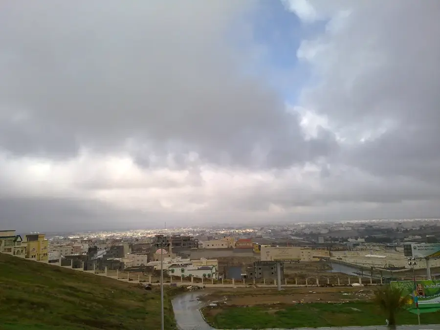
Weather…
Water temperature…
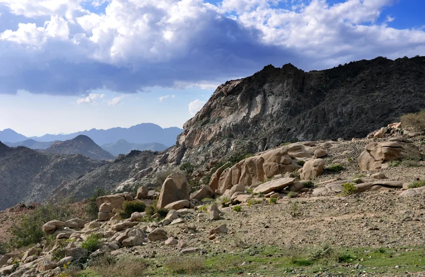
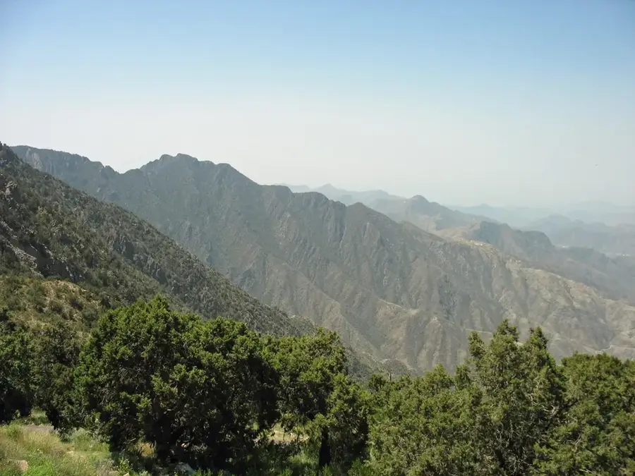
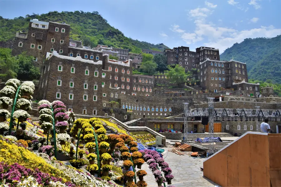
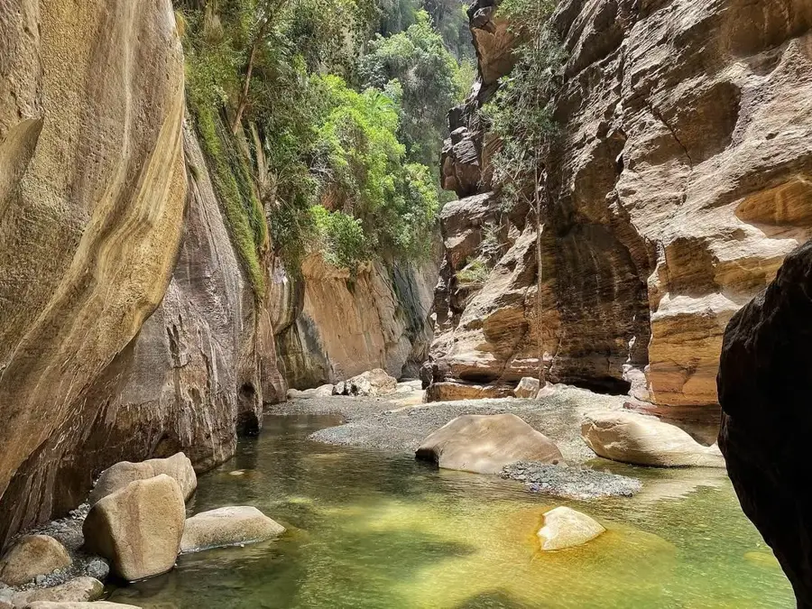
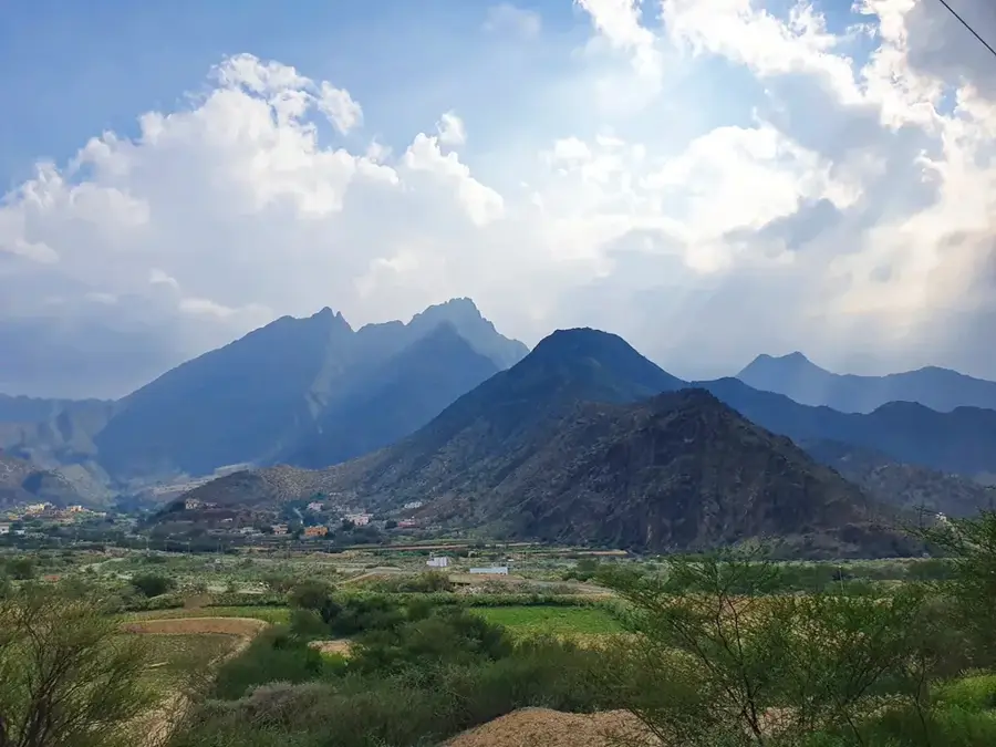
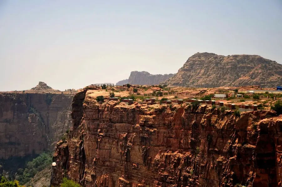
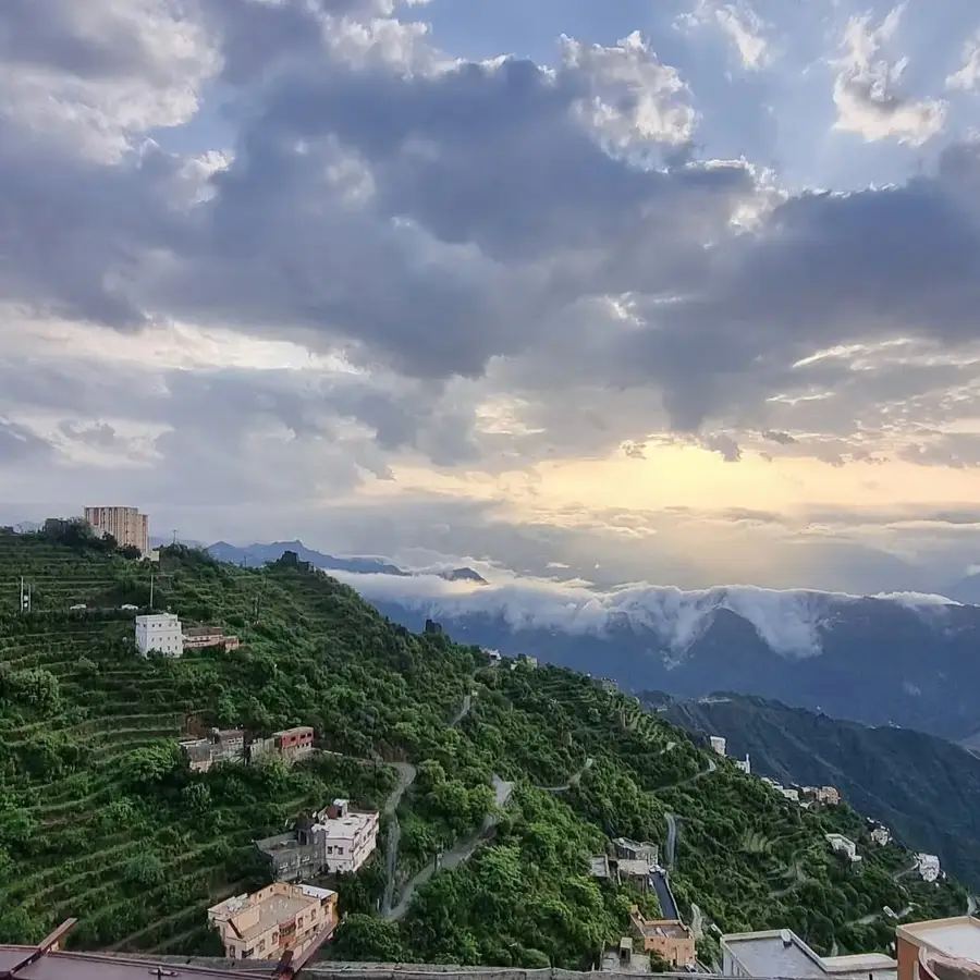
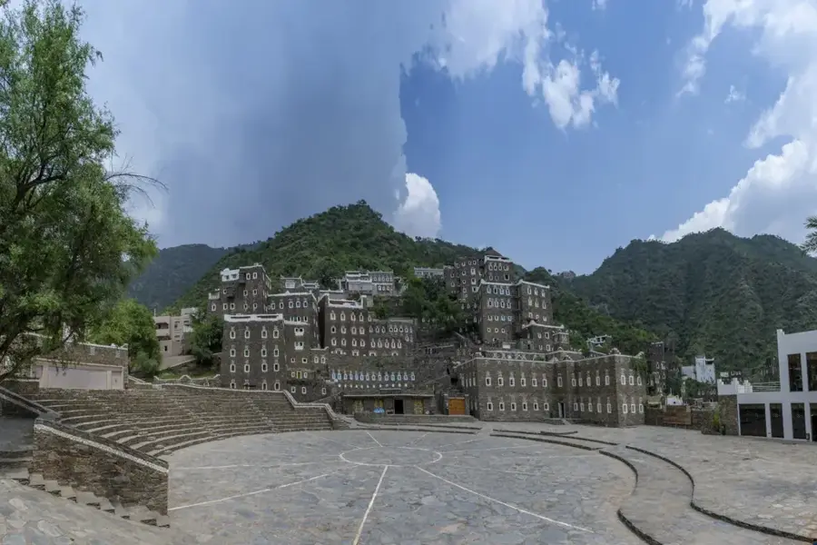
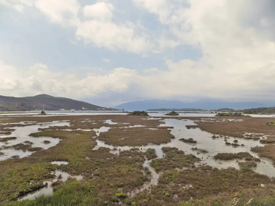
The Sarawat Mountains form the southern portion of the extensive mountain chain running parallel to the Red Sea, stretching from the Jordanian border down to Yemen. This range contains the highest elevations in Saudi Arabia, including Jabal Sawda, which rises to over 3,000 meters above sea level and is often shrouded in mist. Due to their height, the mountains intercept moisture-laden winds from the Red Sea, resulting in the highest rainfall levels in the kingdom and fostering a unique green landscape. For centuries, the mountain slopes have been characterized by elaborate stone terraces used by local farmers to cultivate coffee, grain, and various fruits such as pomegranates. The region around the city of Abha is a major center for domestic tourism, as the cool temperatures provide a sanctuary from the intense heat of the Saudi interior during summer. Culturally, the mountains are renowned for their traditional stone and mud architecture, as well as the spirited yet formal Al-Qatt Al-Asiri wall paintings. Conservation efforts are currently focused on protecting the region's biodiversity, particularly its ancient juniper forests and endangered wildlife like the Arabian leopard.
- Location: Saudi Arabia
- Nearby: Khamis Mushait (31 km)
Best time to visit & climate
The most pleasant time to visit is Mar, Apr, Oct.
| Jan | Feb | Mar | Apr | May | Jun | Jul | Aug | Sep | Oct | Nov | Dec | |
|---|---|---|---|---|---|---|---|---|---|---|---|---|
| Avg °C | 16 | 18 | 20 | 22 | 25 | 27 | 27 | 26 | 25 | 22 | 19 | 17 |
| Rain mm | 3 | 5 | 4 | 18 | 8 | 1 | 8 | 8 | 1 | 0 | 3 | 1 |
📋 Practical info
Geography
Facts
- Home to Jabal Sawda (3,015 m), the highest peak in the country
- Receives the highest annual rainfall in the kingdom (up to 600 mm)
- Renowned for centuries-old agricultural terracing
- The region is a key producer of high-quality coffee beans
- Provides a critical habitat for the endangered Arabian leopard
- Abha serves as the primary tourism hub for the range
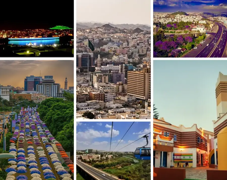
Explore nearby
Notable places around
Route planner — Car & Motorhome
Where do you start? We build the route here, with stops and country notes along the way.
© OpenStreetMap contributors · OpenRouteService
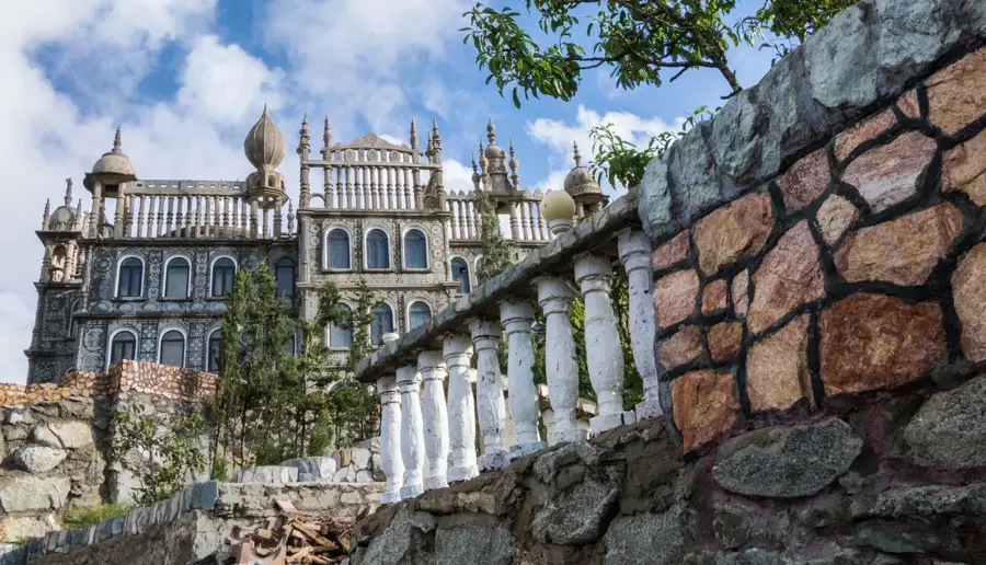
Sights in the town Sarawat Mountains (1)
Sights nearby
Frequently asked questions
How difficult is hiking in the Sarat Mountains?
When is the best time to visit the Sarat Mountains?
Are there parking spots near the hiking trails?
Are there restaurants or restrooms on the hiking trails?
What is the weather risk in the Sarat Mountains?
Sarawat Mountains: where is it located?
Sarawat Mountains: when is the best time to visit?
Sarawat Mountains: why is it worth visiting?

Nearby cities


History & landmarks


Nature
More places