Plizio Visual Lab
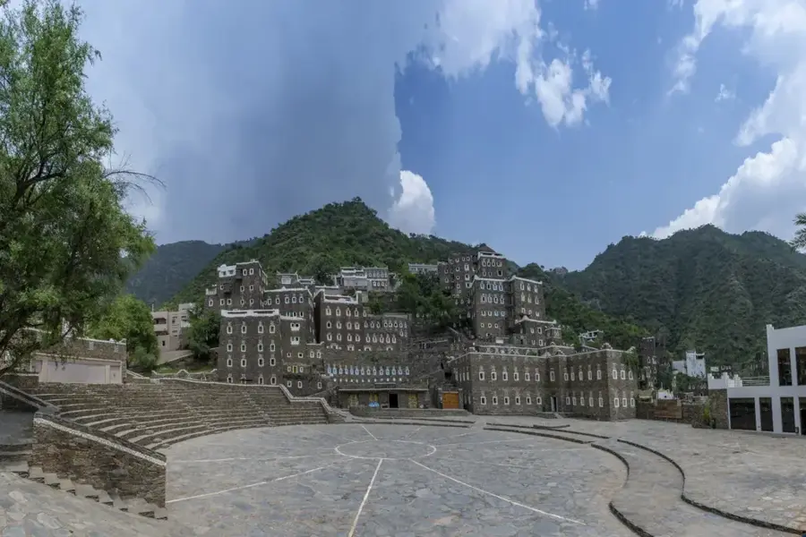
Jabal Sawda
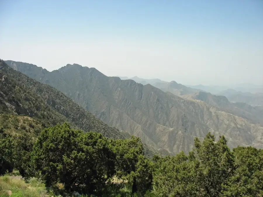
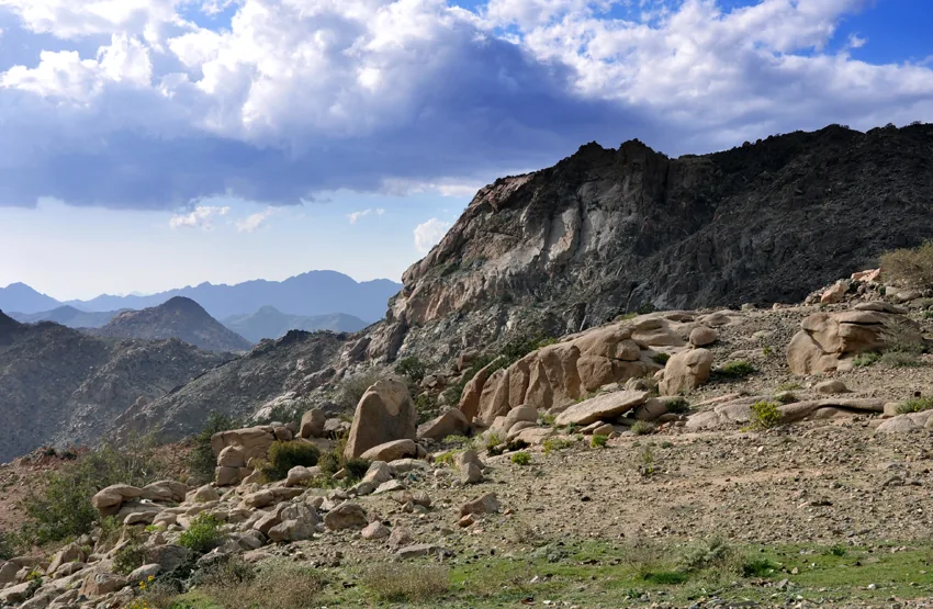
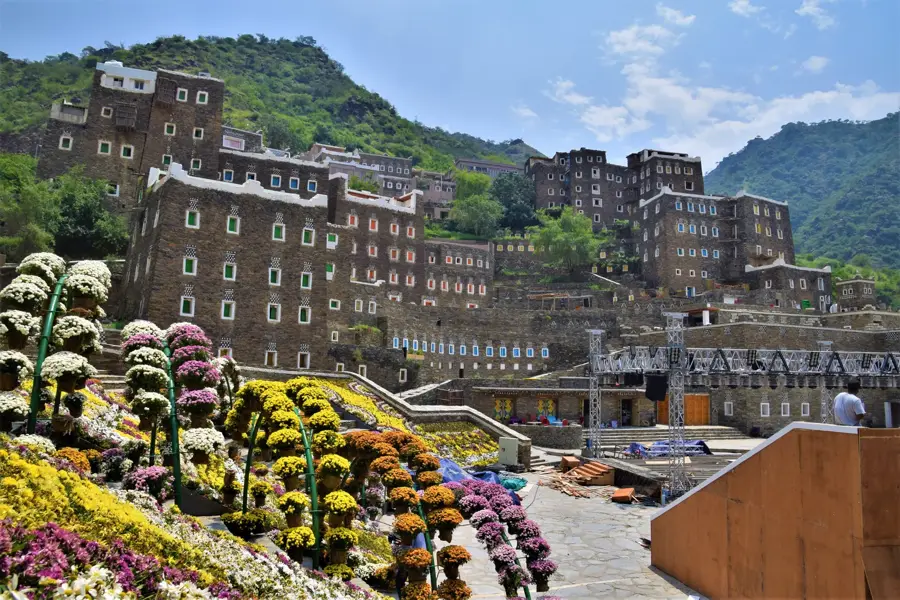
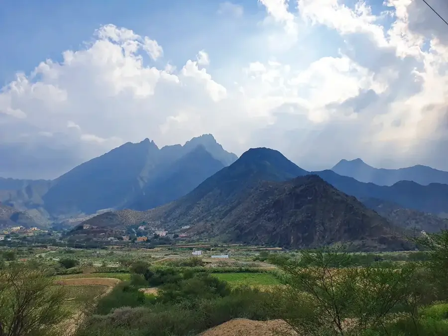
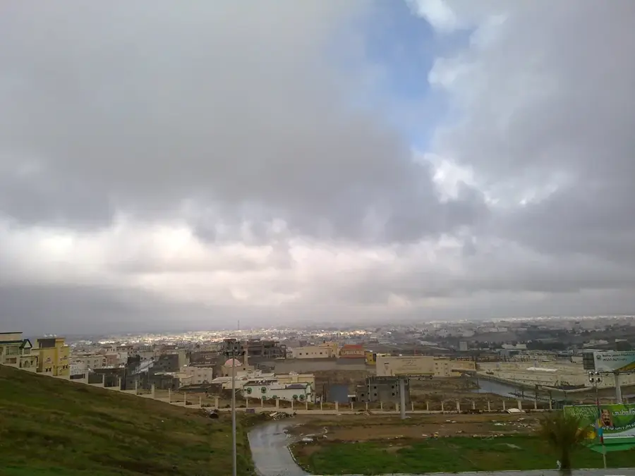
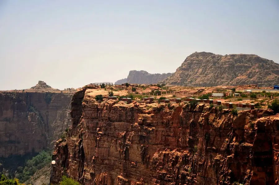
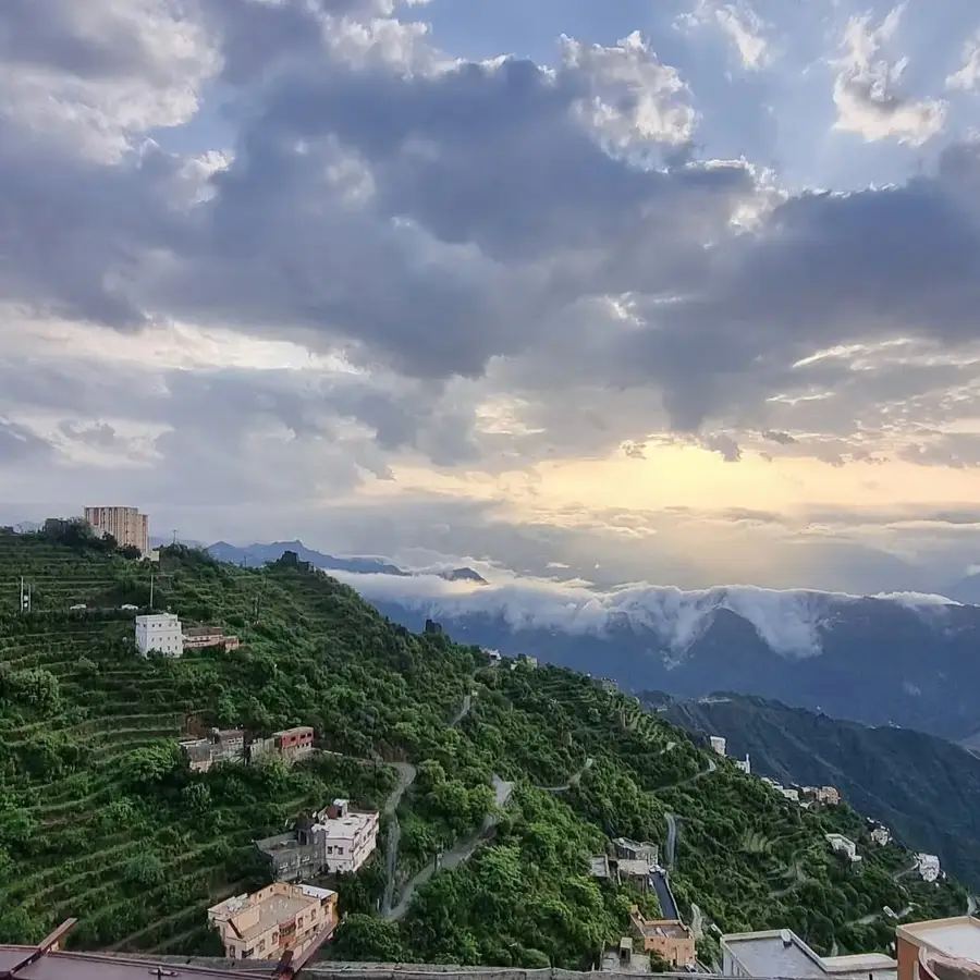
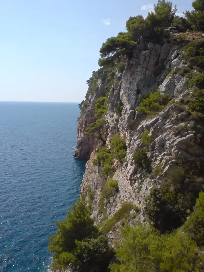
Jabal Sawda is widely recognized as the highest peak in Saudi Arabia, situated in the Asir region near the city of Abha. It forms part of the Sarawat mountain range, reaching an elevation of approximately 3,000 meters above sea level. The mountain is characterized by its dense forests of Juniperus procera and a significantly cooler climate compared to the surrounding desert plains. Extensive tourism infrastructure has been developed here, including one of the kingdom's longest cable car systems, connecting the peak to the valley floor. The area is also culturally significant as it hosts various traditional festivals that celebrate the local heritage of the Asir tribes. During the winter months, temperatures can drop below freezing, and occasional snowfall is recorded on its upper slopes. Its unique ecology supports numerous endemic bird species, making it a critical site for regional biodiversity conservation efforts. Jabal Sawda serves as a major retreat for domestic tourists seeking respite from the intense summer heat.
- Location: Saudi Arabia
- Top sights: Start of the hiking trail 6,5 km · Jabal Sawda · The 1 km of hiking trail
- Nearby: Khamis Mushait (41 km)
Best time to visit & climate
The most pleasant time to visit is Mar, Apr, Oct.
| Jan | Feb | Mar | Apr | May | Jun | Jul | Aug | Sep | Oct | Nov | Dec | |
|---|---|---|---|---|---|---|---|---|---|---|---|---|
| Avg °C | 16 | 18 | 20 | 22 | 25 | 27 | 27 | 26 | 25 | 22 | 19 | 17 |
| Rain mm | 3 | 5 | 4 | 18 | 8 | 1 | 8 | 8 | 1 | 0 | 3 | 1 |
📋 Practical info
Geography
Facts
- The peak stands at an official elevation of 3,015 meters.
- A 7-kilometer cable car connects the mountain top to the Tihama plains.
- The area receives some of the highest rainfall in Saudi Arabia.
- The mountain is home to the endangered Asir Magpie, endemic to the region.
- Juniper forests here act as a vital carbon sink for the peninsula.
- Temperatures in summer rarely exceed 25 degrees Celsius at the summit.
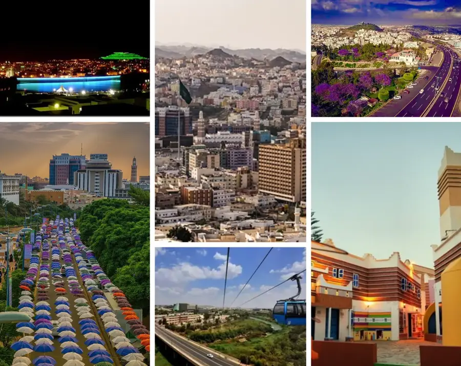
Explore nearby
Notable places around
Route planner — Car & Motorhome
Where do you start? We build the route here, with stops and country notes along the way.
© OpenStreetMap contributors · OpenRouteService
Sights in the town Jabal Sawda (4)
Sights nearby
Frequently asked questions
How high is Jabal Sawda?
Is the weather on top of the mountain very different from the valley?
Can you go hiking up there?
Is there tourist infrastructure there?
Is the mountain suitable for families with children?
Jabal Sawda: where is it located?
Jabal Sawda: what is there to see?
Jabal Sawda: when is the best time to visit?
Jabal Sawda: why is it worth visiting?

Nearby cities
History & landmarks
Nature
More places