Plizio Visual Lab
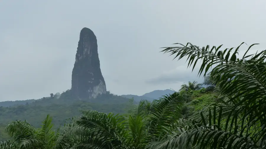
Pico Gago Coutinho
Weather…
Water temperature…
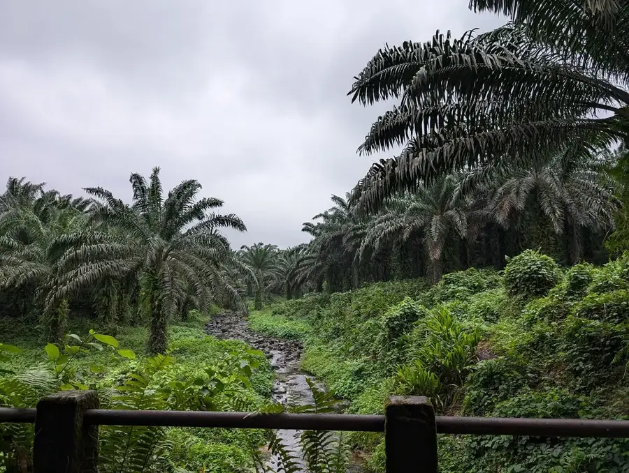
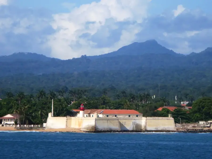
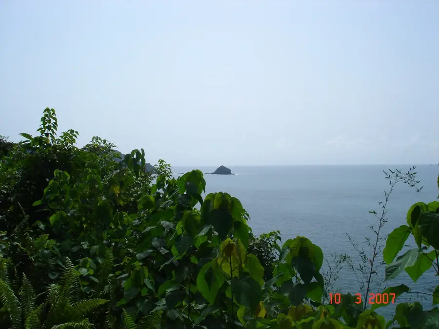
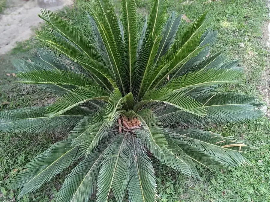
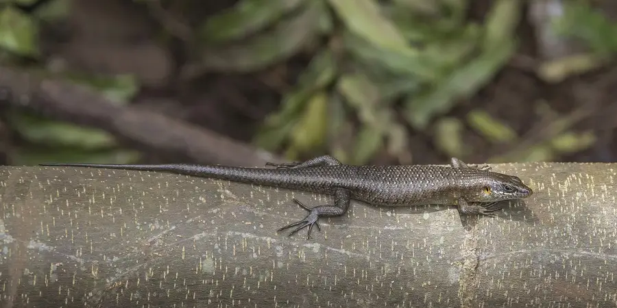
Pico Gago Coutinho is the highest point in the island nation of São Tomé and Príncipe, reaching an elevation of 2,024 meters. Named after the famous Portuguese navigator and officer Carlos Viegas Gago Coutinho, this mountain marks the geographic heart of São Tomé Island. It is of volcanic origin and is located within the Obo National Park, a protected area known for its extraordinary biological diversity. The summit region is frequently shrouded in dense mist, facilitating the growth of mountain cloud forests that are home to numerous endemic plant and animal species. Geologically, the mountain is part of a chain of shield volcanoes formed millions of years ago. For climbers, the ascent presents a significant challenge due to steep trails and unpredictable weather conditions. The ecological importance of Pico Gago Coutinho is immense, as it serves as a primary watershed for many of the island's rivers, providing drinking water to the lower-lying settlements.
- Location: São Tomé & Príncipe
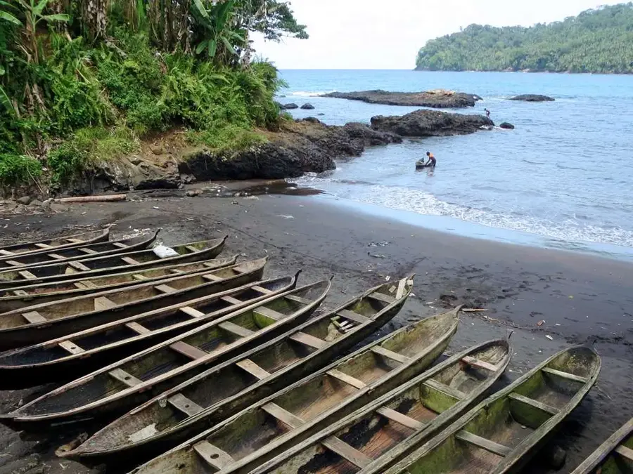
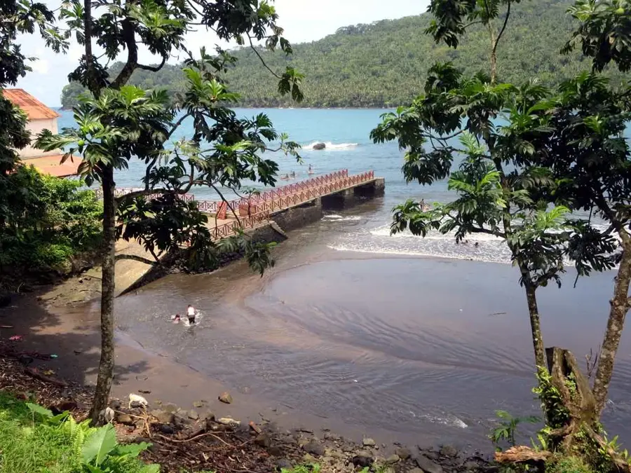
- Nearby: São João dos Angolares (10 km)
Best time to visit & climate
The most pleasant time to visit is Jul–Sep.
| Jan | Feb | Mar | Apr | May | Jun | Jul | Aug | Sep | Oct | Nov | Dec | |
|---|---|---|---|---|---|---|---|---|---|---|---|---|
| Avg °C | 27 | 28 | 28 | 28 | 27 | 25 | 24 | 25 | 25 | 26 | 26 | 27 |
| Rain mm | 132 | 120 | 162 | 162 | 104 | 29 | 14 | 12 | 22 | 81 | 134 | 133 |
📋 Practical info
Geography
Facts
- The peak reaches an elevation of 2,024 meters above sea level.
- The mountain was named after Carlos Viegas Gago Coutinho, who crossed the South Atlantic in 1922.
- It is situated within the boundaries of the Obo National Park on São Tomé Island.
- Pico Gago Coutinho is an extinct volcano dating back to the Tertiary period.
- There is a geodetic marker at the summit used for geographical survey purposes.
- The average temperature at the summit is significantly lower than in the coastal regions.
Explore nearby
Notable places around
Route planner — Car & Motorhome
Where do you start? We build the route here, with stops and country notes along the way.
© OpenStreetMap contributors · OpenRouteService
Sights nearby
Frequently asked questions
How to get to Pico Gago Coutinho?
Are there observation decks?
Which is the best season?
Is the hike safe?
What do I need to take?
Pico Gago Coutinho: where is it located?
Pico Gago Coutinho: when is the best time to visit?
Pico Gago Coutinho: why is it worth visiting?

Nearby cities
History & landmarks
Nature

More places