Plizio Visual Lab
Rio Caué
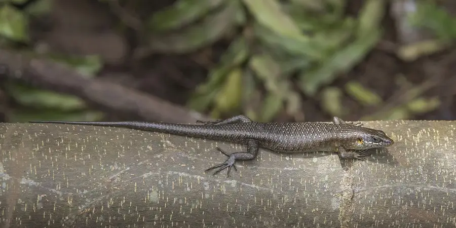
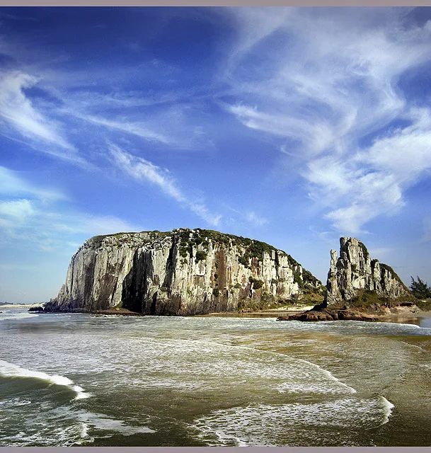
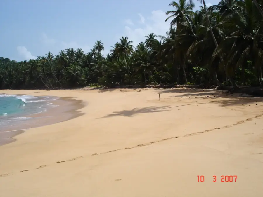
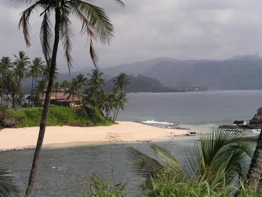
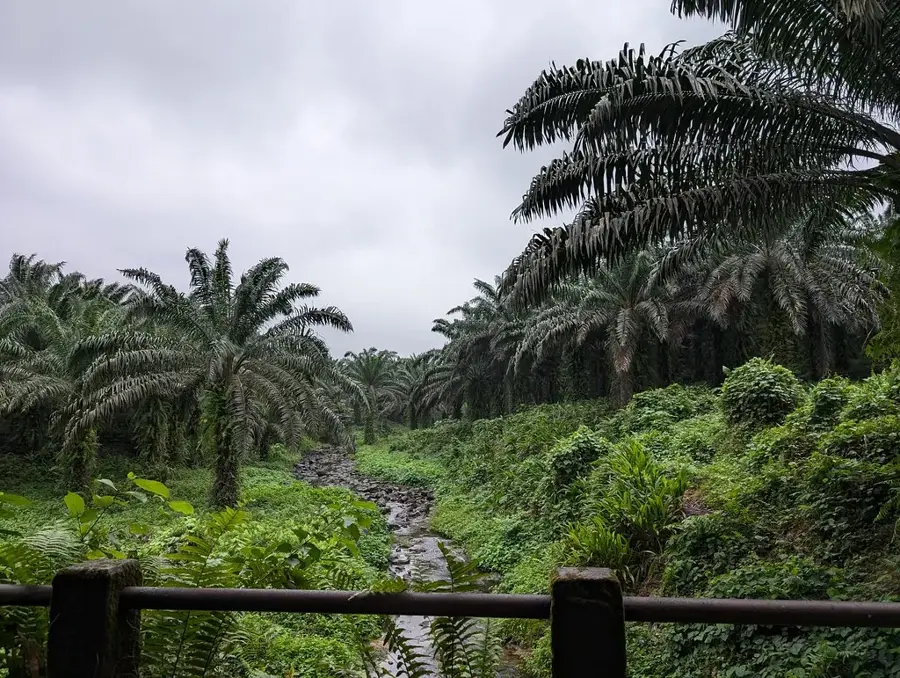
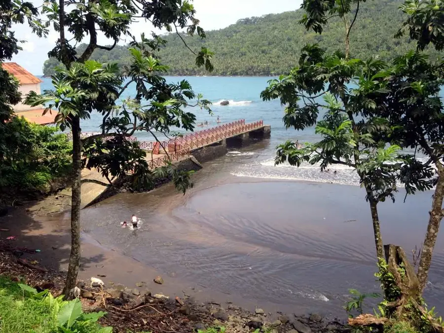
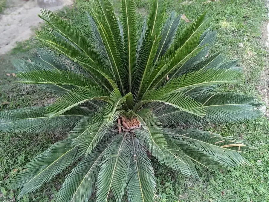
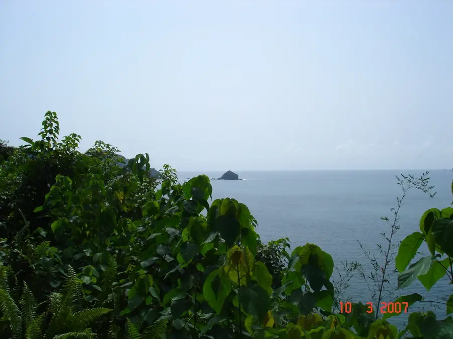
Rio Caué is the most significant river in the southernmost district of São Tomé Island, giving its name to the Caué district. It originates in the rugged, rainy highlands of the Obô National Park and carves its path through some of the archipelago's least developed primary rainforests. Geologically, its course follows ancient volcanic faults that have shaped the island's relief over millions of years. The river is a vital water source for local flora and fauna, including numerous endemic bird species and monkeys that find shelter in the dense riparian forests. Its mouth into the Baía de Caué in the Atlantic forms an easy on the eye estuary known for its natural purity. Despite historical use of surrounding areas for plantations, the upper reaches of Rio Caué remain largely untouched and inaccessible. Today, the river is an important research area for ecologists studying the intact hydrological systems of the African tropics.
- Location: São Tomé & Príncipe
- Top sights: Mangrove Boat Tour · Praia Micondó
- Nearby: Dona Augusta (6 km)
Best time to visit & climate
The most pleasant time to visit is Jul–Sep.
| Jan | Feb | Mar | Apr | May | Jun | Jul | Aug | Sep | Oct | Nov | Dec | |
|---|---|---|---|---|---|---|---|---|---|---|---|---|
| Avg °C | 27 | 28 | 28 | 28 | 27 | 25 | 24 | 25 | 25 | 26 | 26 | 27 |
| Rain mm | 132 | 120 | 162 | 162 | 104 | 29 | 14 | 12 | 22 | 81 | 134 | 133 |
📋 Practical info
Geography
Facts
- The river originates at an elevation of approximately 800 m.
- It flows through the Caué district in the south.
- The mouth forms a natural estuary.
- It is approximately 8 kilometers long.
- Home to the endemic São Tomé giant sunbird.
- The water is considered one of the purest on the island.
Explore nearby
Notable places around
Route planner — Car & Motorhome
Where do you start? We build the route here, with stops and country notes along the way.
© OpenStreetMap contributors · OpenRouteService
Sights in the town Rio Caué (2)
Sights nearby
Frequently asked questions
Where does Rio Caué originate?
Can you have a picnic at Rio Caué?
Is the water safe to drink?
What is the access to the river like?
Are there dangerous animals at the river?
Rio Caué: where is it located?
Rio Caué: what is there to see?
Rio Caué: when is the best time to visit?
Rio Caué: why is it worth visiting?

Nearby cities
History & landmarks
Nature

More places