Plizio Visual Lab
Rio Iô Grande

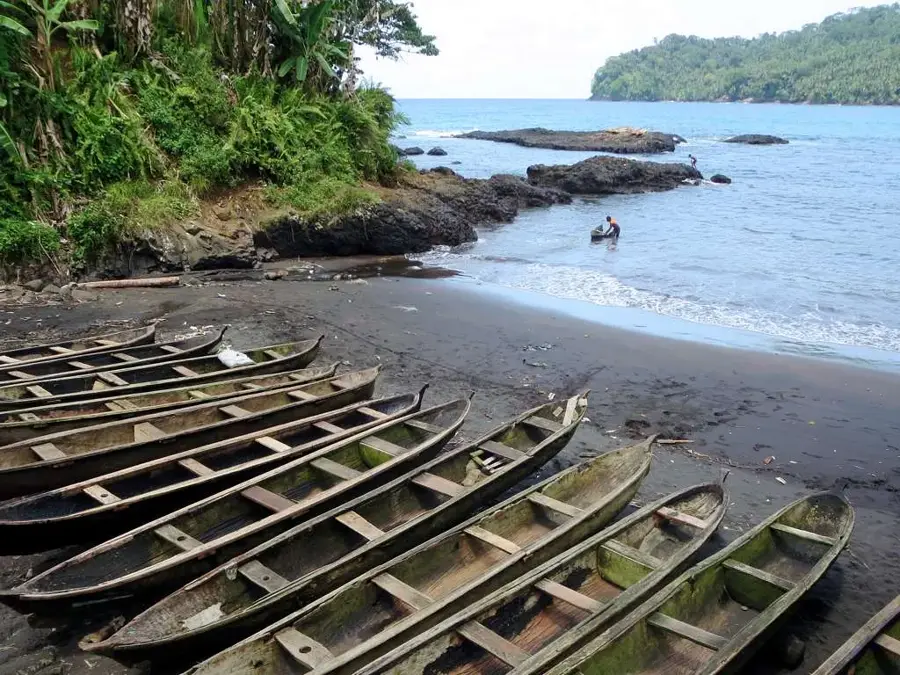
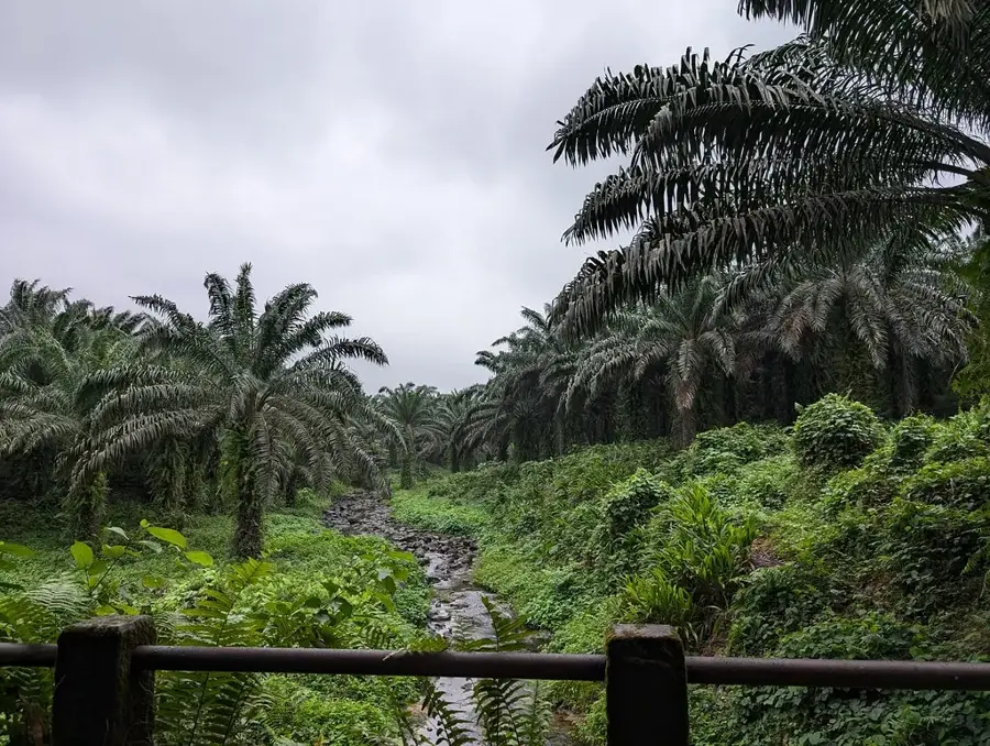
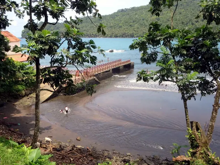
Rio Iô Grande is the most significant and highest-volume river on São Tomé Island, flowing through the southern part of the country. It originates in the rainy highlands of the Obô National Park and carves its path through dense primary rainforest before emptying into the Atlantic Ocean. The river plays a crucial role in the island's hydrological cycle, supplying vast areas with fresh water. Along its course, it forms spectacular waterfalls and deep gorges that bear witness to the water's powerful erosive force on the volcanic rock. Geologically, the riverbed follows ancient faults and lava flows that have shaped the island's topography. Rio Iô Grande is also an essential habitat for numerous endemic freshwater species and serves as a watering hole for diverse terrestrial fauna. Historically, the river course was often a landmark for early expeditions into the rugged interior of the island. Today, the river basin is a focus for conservation efforts to maintain water quality and the integrity of the surrounding forest ecosystem.
- Location: São Tomé & Príncipe
- Nearby: Ribeira Peixe (6 km)
Best time to visit & climate
The most pleasant time to visit is Jul–Sep.
| Jan | Feb | Mar | Apr | May | Jun | Jul | Aug | Sep | Oct | Nov | Dec | |
|---|---|---|---|---|---|---|---|---|---|---|---|---|
| Avg °C | 27 | 28 | 28 | 28 | 27 | 25 | 24 | 25 | 25 | 26 | 26 | 27 |
| Rain mm | 132 | 120 | 162 | 162 | 104 | 29 | 14 | 12 | 22 | 81 | 134 | 133 |
📋 Practical info
Geography
Facts
- It is the river with the highest volume in the entire archipelago.
- Its source is located deep within the Obô National Park.
- The river empties into the sea in the south near Porto Alegre.
- It feeds several large waterfalls in the island's interior.
- The watershed includes some of the wettest places on Earth.
- The river is home to endemic fish species of the genus Sicydium.
Explore nearby
Notable places around
Route planner — Car & Motorhome
Where do you start? We build the route here, with stops and country notes along the way.
© OpenStreetMap contributors · OpenRouteService
Sights in the town Rio Iô Grande (1)
Sights nearby
Frequently asked questions
Can one fish in the river?
Are there hiking trails along the river?
Is the water clean?
Is the area safe?
What is the best time of day?
Rio Iô Grande: where is it located?
Rio Iô Grande: when is the best time to visit?
Rio Iô Grande: why is it worth visiting?

Nearby cities
History & landmarks
Nature
More places