Plizio Visual Lab
Uricani
ℹ️Practical info — Uricani
▾
🌤 Weather — 5 days
📍 Nearby
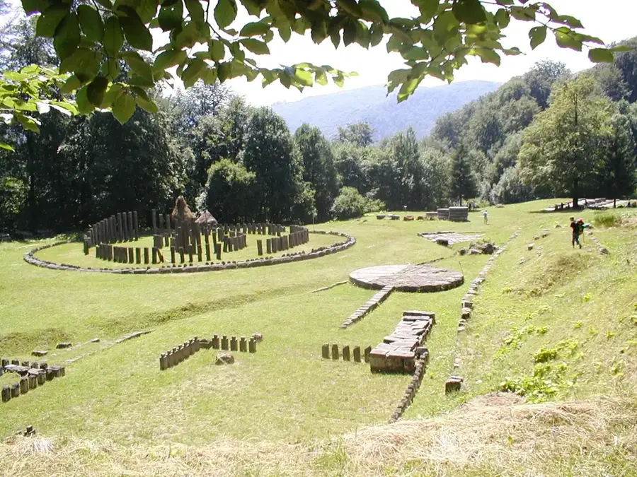
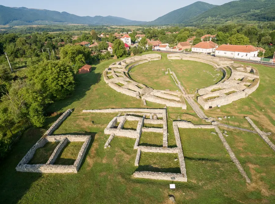
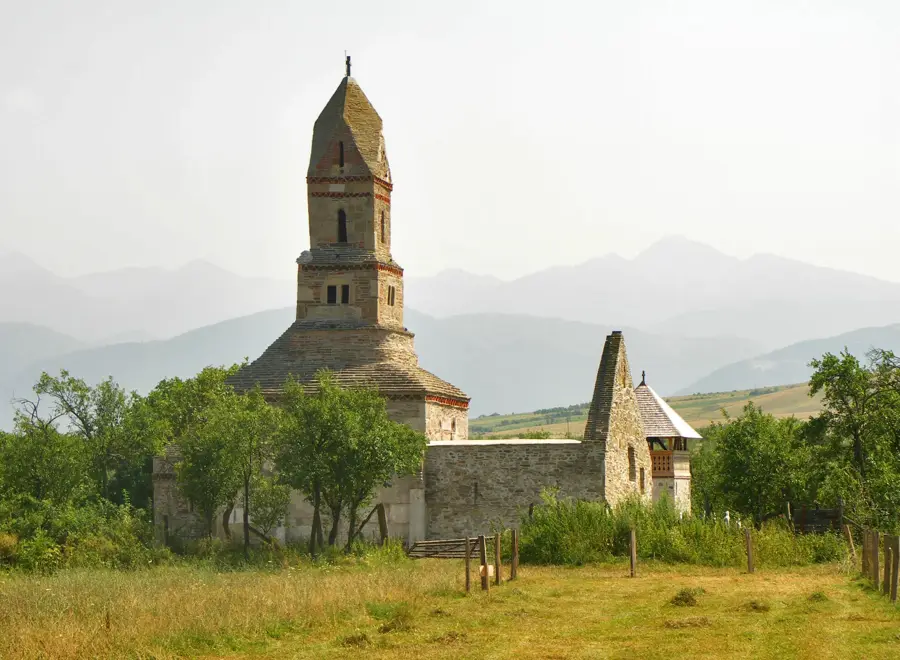
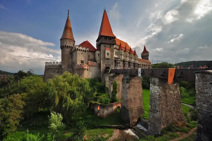
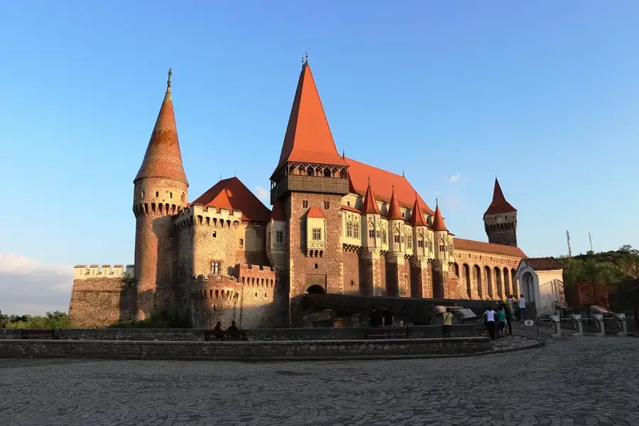
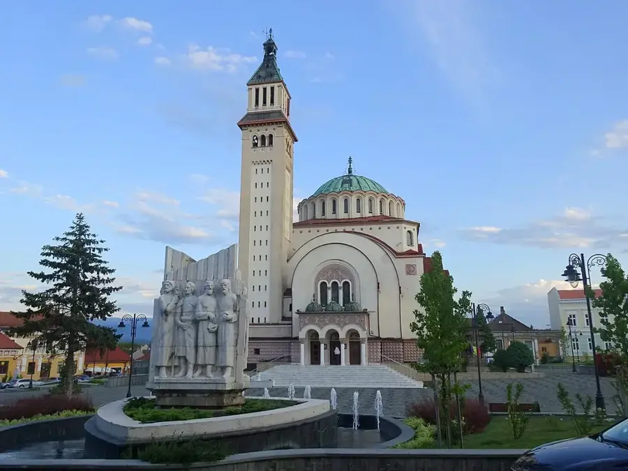
Sights nearby
💡 Tips
- Uricani is the southern gateway to the Retezat National Park; use the Câmpu lui Neag entrance for quieter hiking trails.
- Stock up on all necessary supplies and water in town, as there are no shops once you enter the mountain area.
- Always check the weather forecast before heading to Piatra Iorgovanului peak, as thunderstorms on the limestone ridges are dangerous.
- A high-clearance or 4WD vehicle is recommended if you plan to drive deeper into the Buta Valley.
- Be prepared to pay the national park entry fee, which is often collectable via SMS or at park checkpoints.
🍽 Food
Try this traditional roasted polenta filled with cheese, often served at the mountain huts near the park entrance.
Look for restaurants in the Jiu Valley that offer fresh trout sourced from local mountain streams.
In late summer, buy fresh blueberries and raspberries from local gatherers along the main road to Câmpu lui Neag.
🛍 Shopping · 🧘 Quiet spots
Find high-quality forest and wildflower honey directly from beekeepers in the households on the edge of town.
Small shops in Uricani provide basic gear and essentials for those heading into the Retezat mountains.
Look for local artisans creating traditional items reflective of the Jiu Valley's mining heritage.
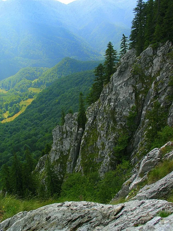
This remarkable limestone gorge at the end of the valley has cool air and soothing water sounds.
A walk along the Buta river takes you through dense forests, providing absolute silence away from main roads.
These high pastures offer a magnificent panoramic view of the Little Retezat peaks.
Water temperature…
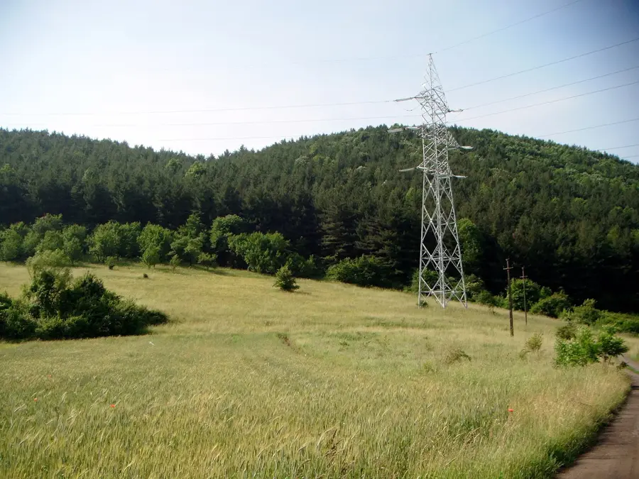
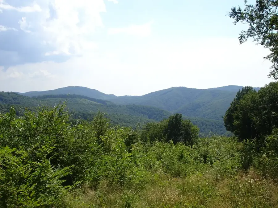
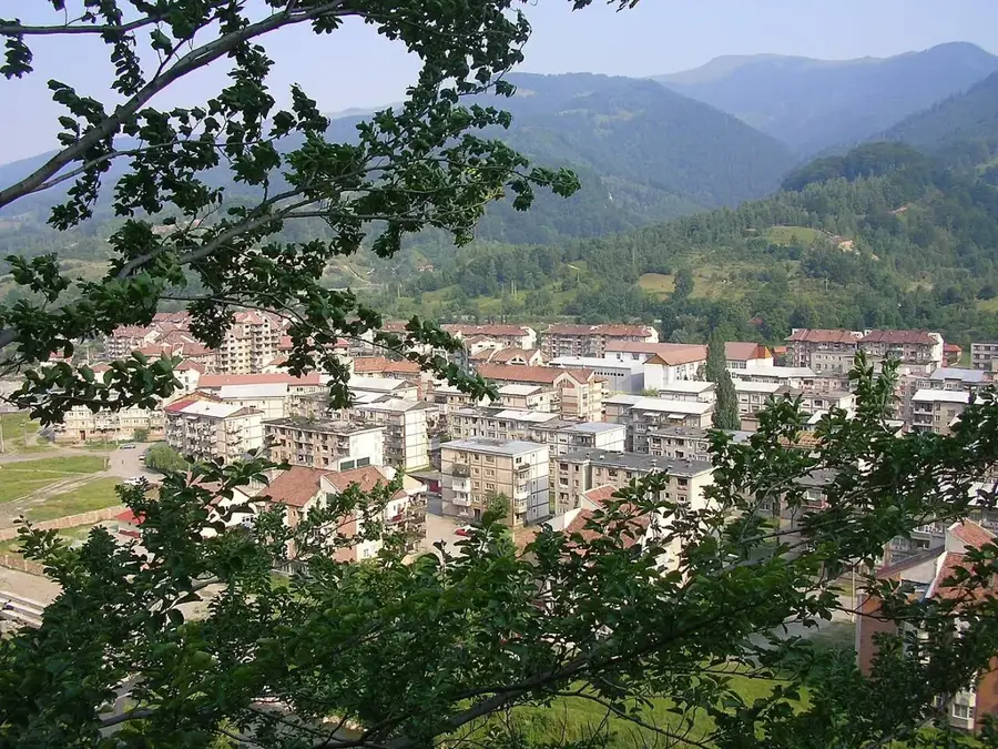
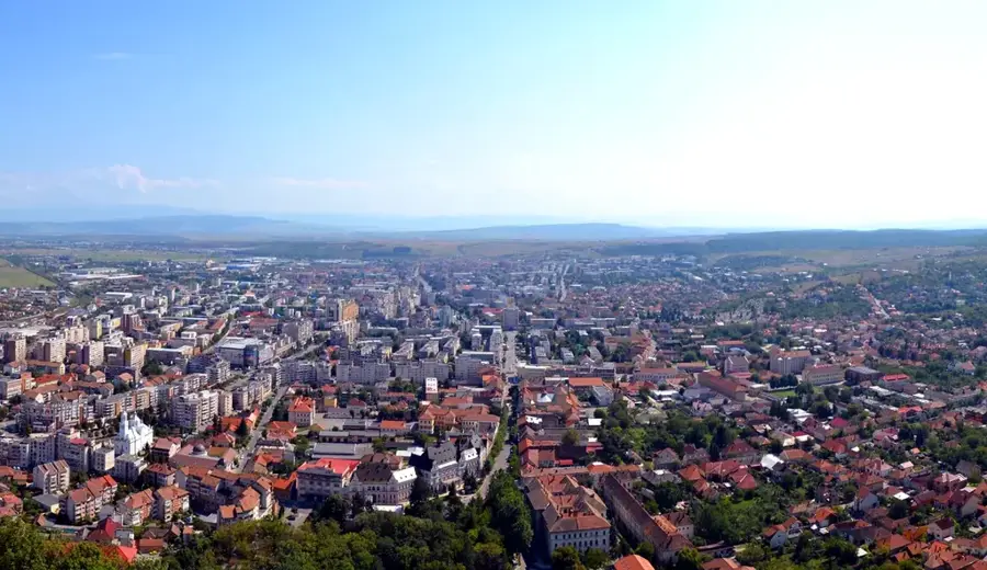
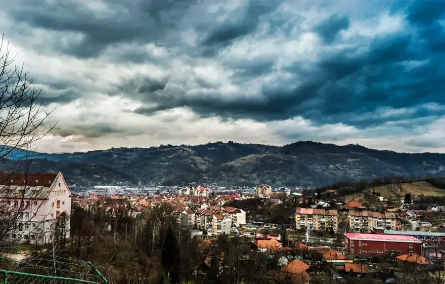
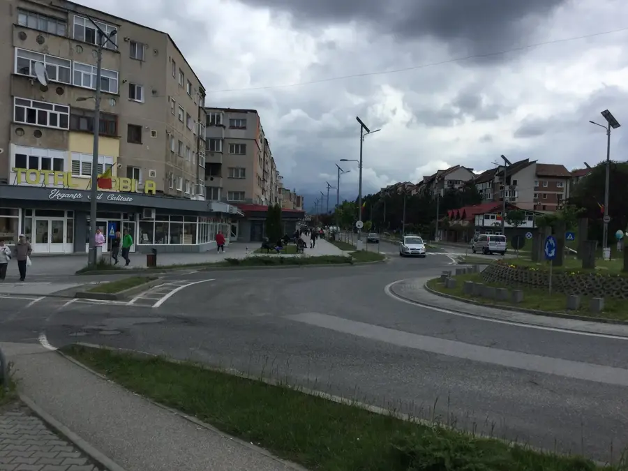
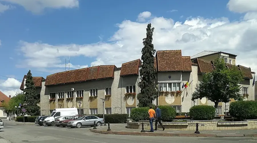
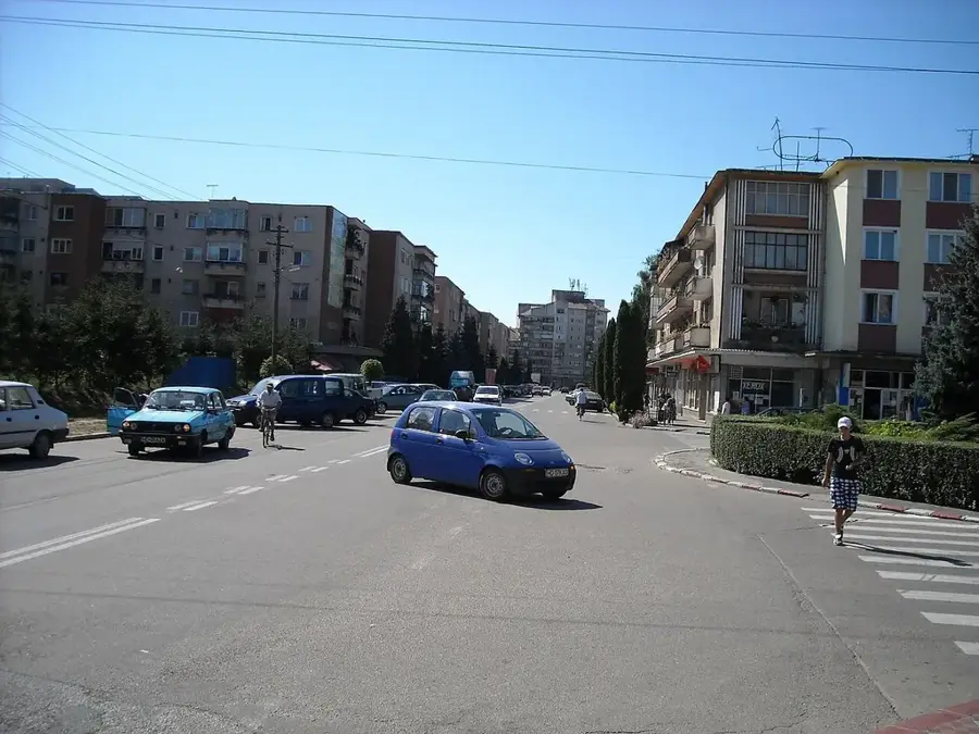
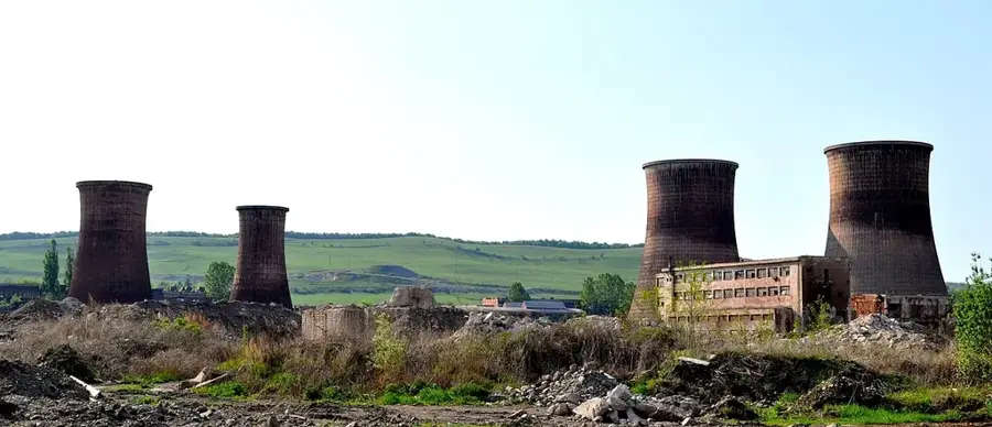
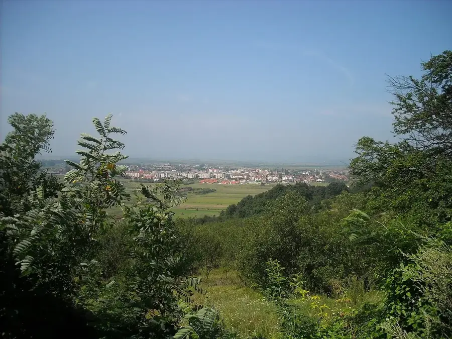
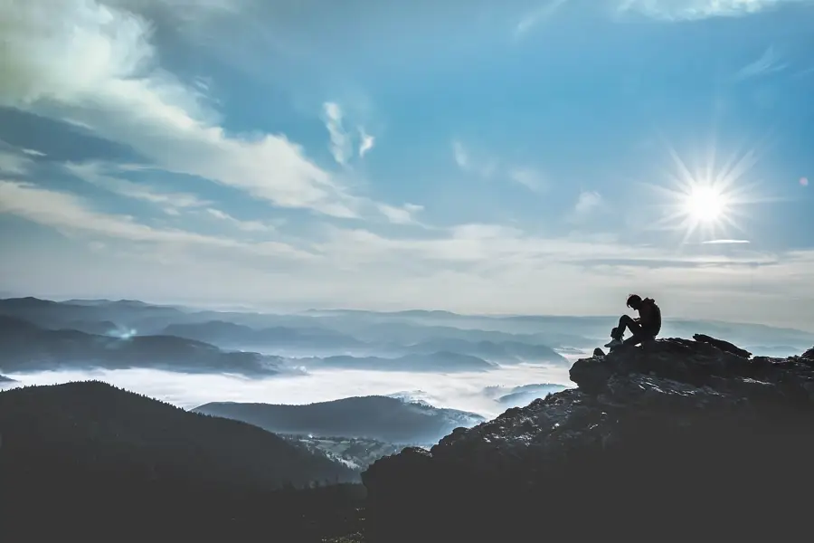
Uricani is a town located in Hunedoara County, at the western end of the Jiu Valley mining region. Situated at the foot of the Retezat and Vâlcan Mountains, the town serves as a strategic gateway for hikers and nature enthusiasts visiting the Retezat National Park. Historically, Uricani transitioned from a pastoral community focused on sheep herding and forestry to a major coal mining center during the industrialization of the 20th century. With the gradual closure of the mines, the local economy has shifted towards mountain tourism and sustainable development. The town stretches along the West Jiu River, offering a scenic landscape characterized by steep slopes and dense forests. Cultural life in Uricani is marked by the unique traditions of the 'Momârlani' people, the original inhabitants of the valley, who maintain ancient customs distinct from the industrial mining culture. Today, Uricani is recognized for its potential in alpine sports, caving, and ecotourism, providing access to some of the highest and most rugged peaks in the Southern Carpathians.
- Location: Hunedoara, Romania
- Nearby: Lupeni (6 km)
- Population: ~6.669
Best time to visit & climate
The most pleasant time to visit is Jun–Aug.
| Jan | Feb | Mar | Apr | May | Jun | Jul | Aug | Sep | Oct | Nov | Dec | |
|---|---|---|---|---|---|---|---|---|---|---|---|---|
| Avg °C | -4 | -3 | 1 | 7 | 12 | 16 | 18 | 18 | 13 | 8 | 3 | -3 |
| Rain mm | 45 | 43 | 52 | 66 | 97 | 109 | 98 | 70 | 61 | 65 | 53 | 51 |
Geography
Facts
- Average elevation of 750 meters above sea level
- Major southern gateway to the Retezat National Park
- Formerly a significant center for hard coal extraction
- Includes the constituent settlements of Câmpu lui Neag and Valea de Brazi
- Located approximately 125 km from the county capital, Deva
- The administrative area covers over 251 square kilometers
Explore nearby
Notable places around
Route planner — Car & Motorhome
Where do you start? We build the route here, with stops and country notes along the way.
© OpenStreetMap contributors · OpenRouteService
Sights in the town Uricani (1)
Frequently asked questions
Is Uricani a good starting point for hiking?
What is the historical significance of the city?
How can you reach the Custura Peak?
Is skiing available near Uricani?
Which road leads to Uricani?
Uricani: where is it located?
Uricani: when is the best time to visit?
Uricani: why is it worth visiting?

Nearby cities

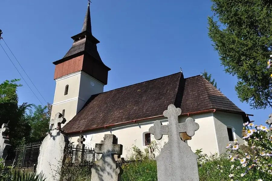
History & landmarks
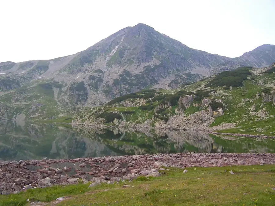
Nature
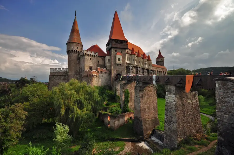
More places