Plizio Visual Lab
Curcubăta Mare Peak
Weather…
Water temperature…
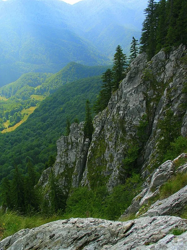
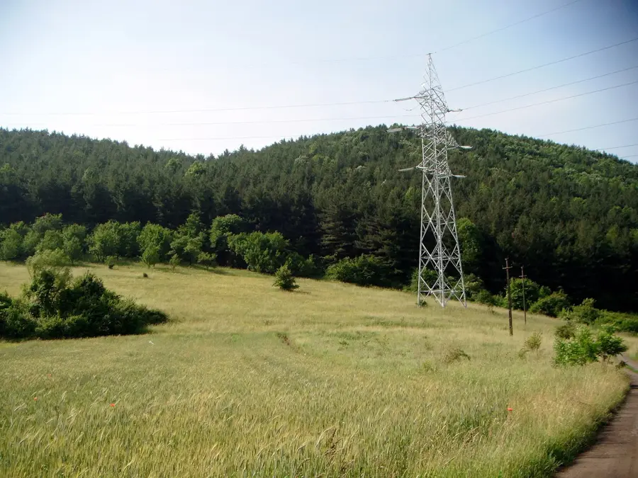
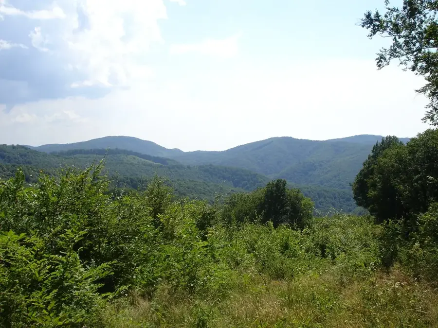
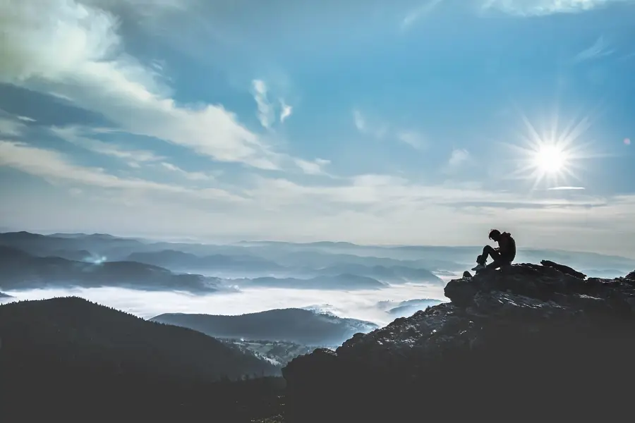
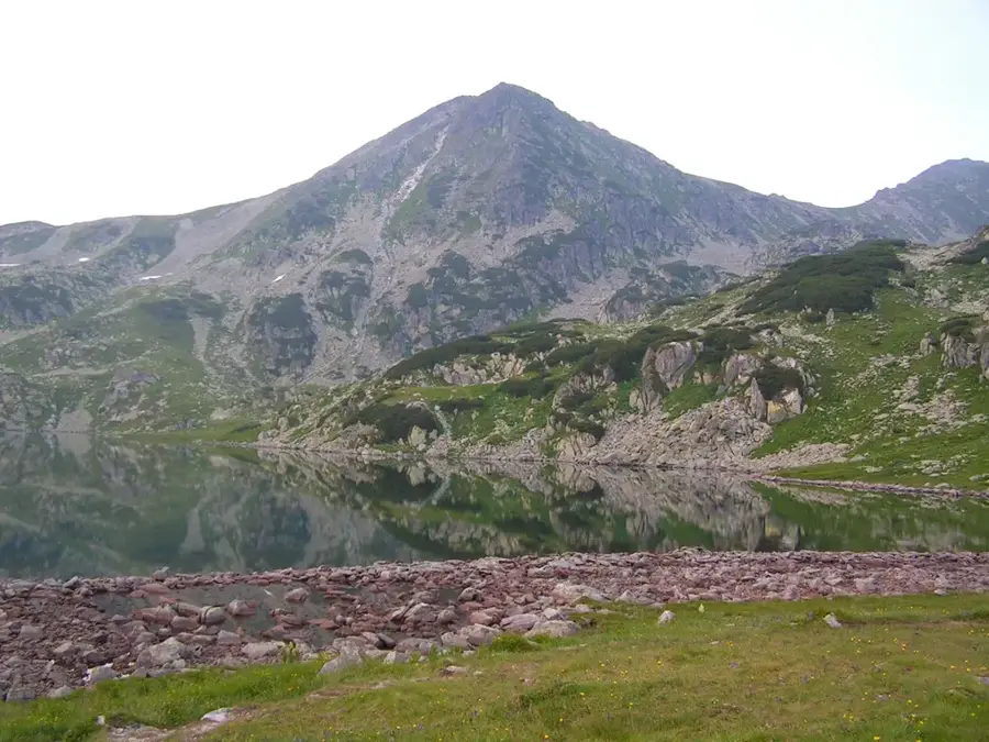
Curcubăta Mare, also widely known as Bihor Peak, is the highest elevation in the Bihor Mountains and the entire Apuseni range, standing at 1849 meters. Located in Alba County in the southeastern part of the massif, it serves as the definitive landmark of the Western Romanian Carpathians. Geologically, the peak is primarily composed of crystalline schists and granites, giving it a more rugged and resistant structure compared to the nearby limestone plateaus. The summit has an extensive panorama that, on clear days, stretches as far as the Retezat Mountains and the Pannonian Plain. A prominent feature at the top is the massive television relay tower, which is visible from great distances and serves as a major navigational aid for hikers. Access to the summit is possible via several marked trails, with the most popular routes starting from Arieșeni or the Vârtop Pass. While relatively accessible during the summer months, the peak experiences harsh winter conditions characterized by heavy snowfall and high-velocity winds. The surrounding area is part of the Apuseni Natural Park, which protects a diverse range of alpine flora, including rare species like the gentian.
- Location: Hunedoara, Romania
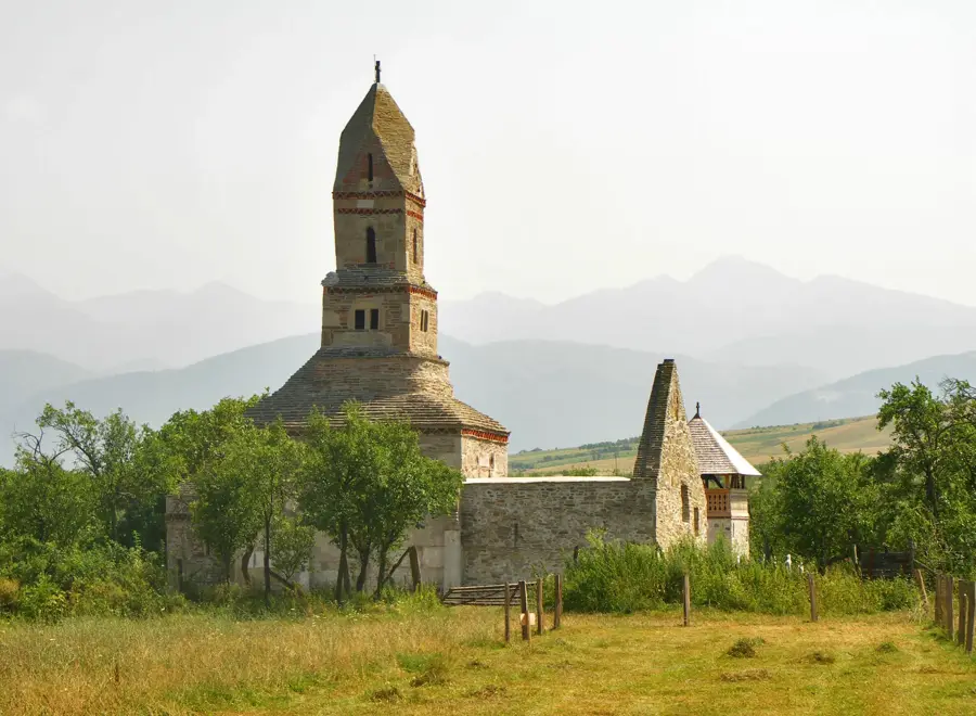
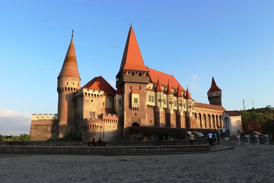
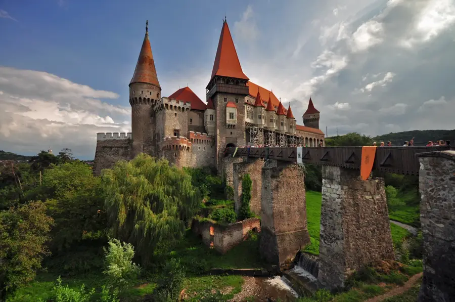
- Top sights: Cucurbăta Mare · Piatra Grăitoare
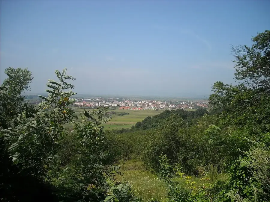
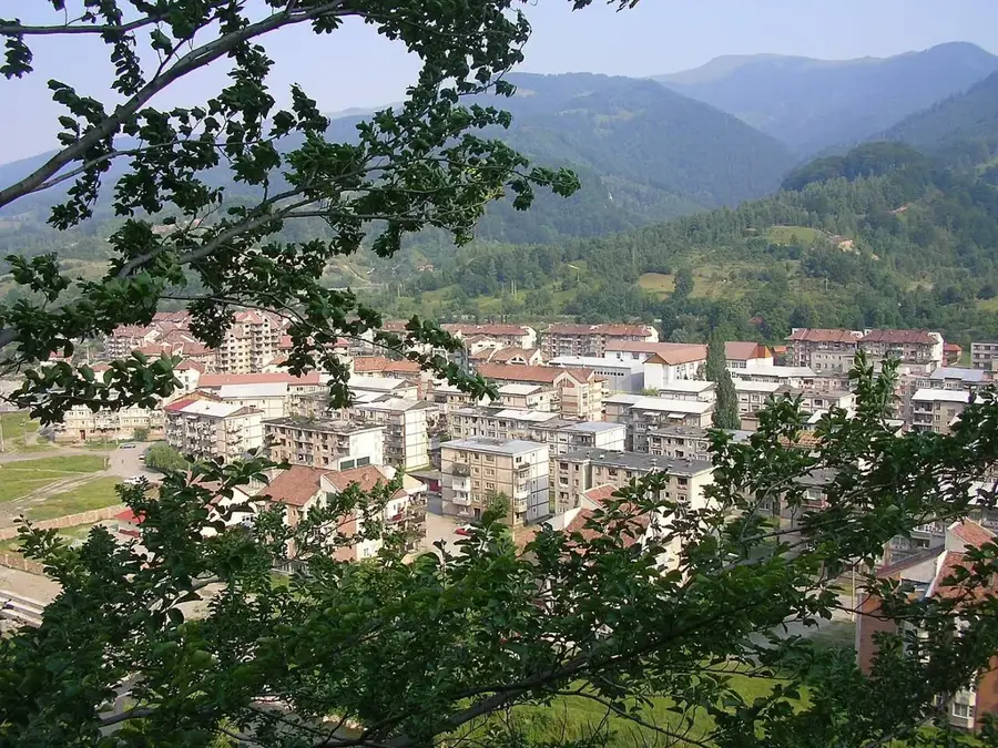
- Nearby: Arieșeni (6 km)
Best time to visit & climate
The most pleasant time to visit is Jun–Aug.
| Jan | Feb | Mar | Apr | May | Jun | Jul | Aug | Sep | Oct | Nov | Dec | |
|---|---|---|---|---|---|---|---|---|---|---|---|---|
| Avg °C | -3 | -1 | 3 | 9 | 15 | 19 | 21 | 21 | 15 | 10 | 4 | -1 |
| Rain mm | 41 | 39 | 48 | 54 | 79 | 93 | 85 | 61 | 56 | 55 | 49 | 47 |
📋 Practical info
Geography
Facts
- At 1849 meters, Curcubăta Mare is the highest peak in the Western Romanian Carpathians.
- The summit is home to a major television and radio relay tower built during the 1960s.
- The peak is geologically distinct due to its granite and schist composition, unlike the surrounding karst landscapes.
- The mountain peak marks a symbolic boundary between the historical regions of Transylvania and Crișana.
- Several streams that feed into the Arieș Mic river originate from the slopes of the summit.
- During winter, snowdrifts on the peak can frequently exceed depths of two meters.
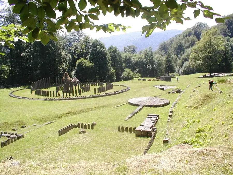
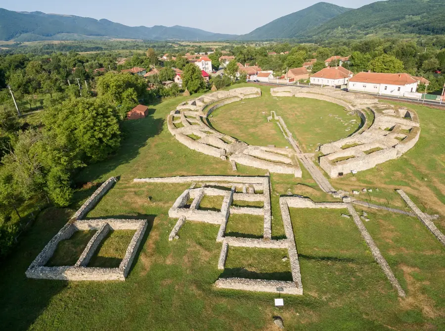
Explore nearby
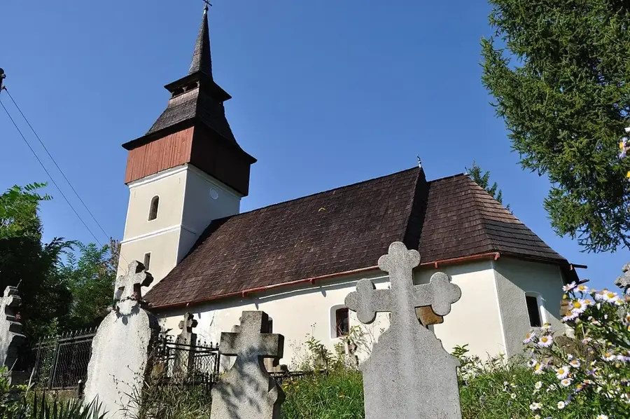
Notable places around
Route planner — Car & Motorhome
Where do you start? We build the route here, with stops and country notes along the way.
© OpenStreetMap contributors · OpenRouteService
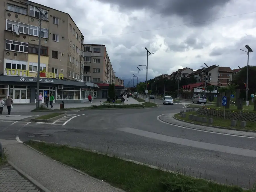
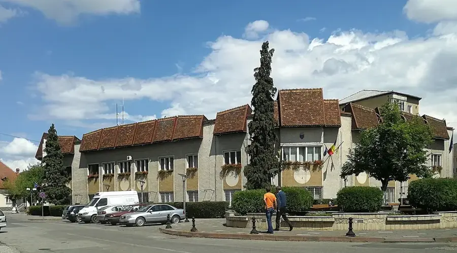
Sights in the town Curcubăta Mare Peak (2)
Sights nearby
Frequently asked questions
Can you reach the summit by car?
How long does the hike take on foot?
Is there a chalet on the summit?
What is the view like from the top?
Does snow persist for a long time?
Curcubăta Mare Peak: where is it located?
Curcubăta Mare Peak: what is there to see?
Curcubăta Mare Peak: when is the best time to visit?
Curcubăta Mare Peak: why is it worth visiting?

Nearby cities

History & landmarks
More places