Plizio Visual Lab
Bihor Mountains
Weather…
Water temperature…
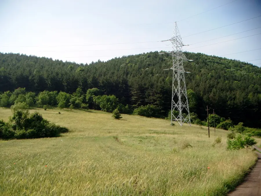
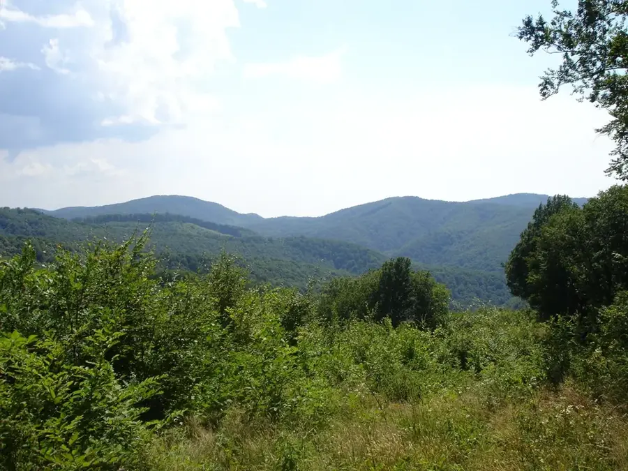
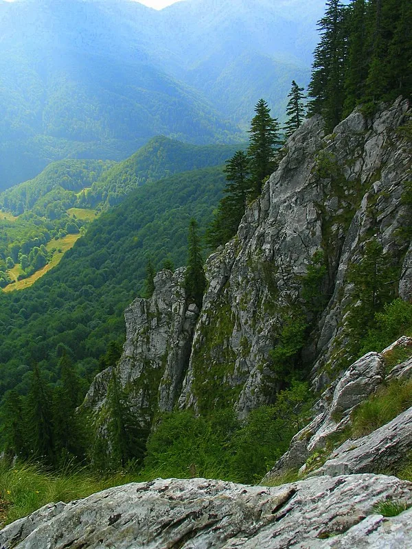
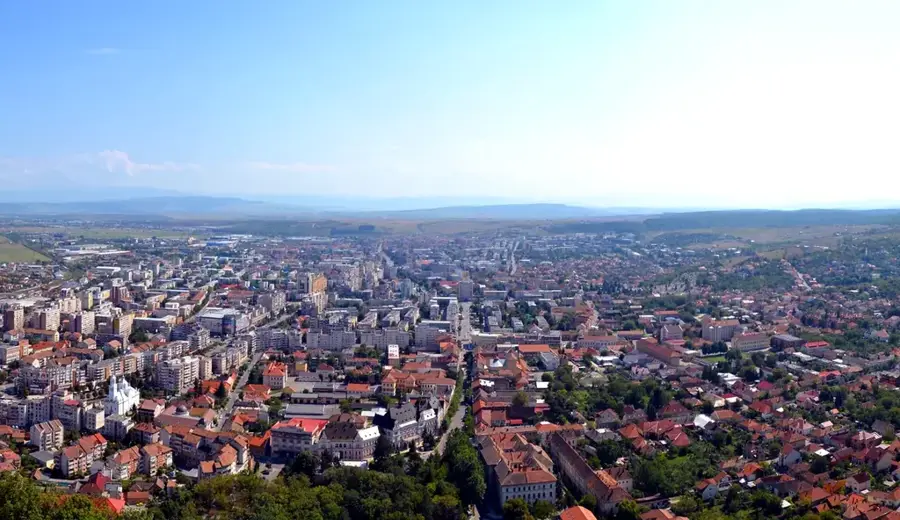
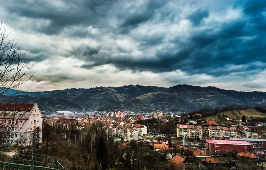
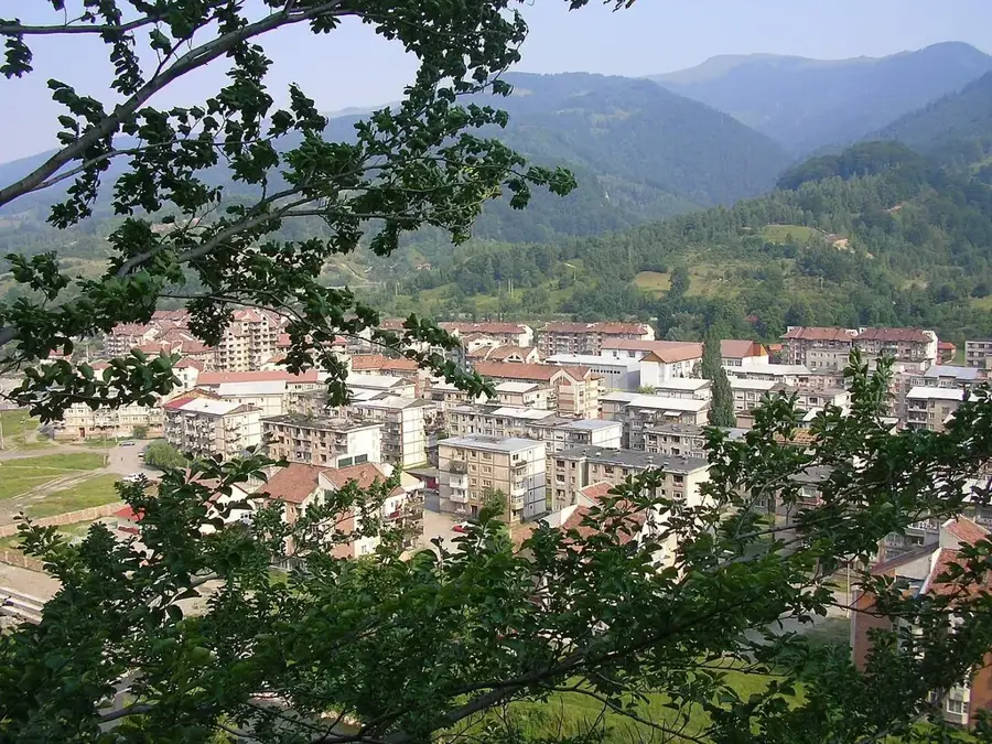
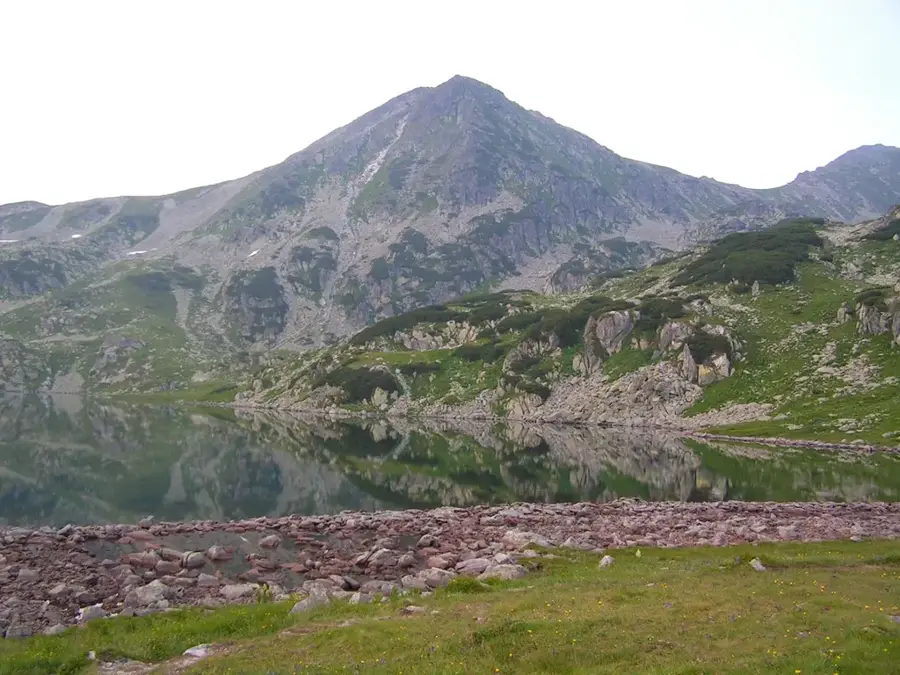
The Bihor Mountains are the highest massif within the Apuseni range of the Western Romanian Carpathians, reaching a peak elevation of 1849 meters at Curcubăta Mare. Spanning across Bihor, Alba, and Cluj counties, the mountains feature a complex geological composition of crystalline schists and extensive limestone formations. The region is a premier karst destination, containing over 400 caves, including the renowned Scărișoara Ice Cave and the Bears' Cave near Chișcău. Its geomorphology is defined by deep valleys like the Arieș Valley and expansive plateaus such as Padiș, which facilitate a unique underground hydrographic network. Historically, the range served as a vital mining hub, particularly for gold and silver extraction in the Roșia Montană area at its southern edge. Currently, the Bihor Mountains are a major center for ecotourism and winter sports, with the Vârtop Pass serving as a central hub for skiing enthusiasts. The flora consists of dense spruce and beech forests, transitioning into alpine meadows that support a wide variety of protected plant species.
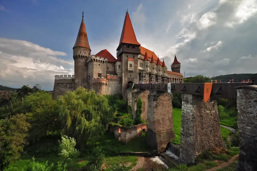
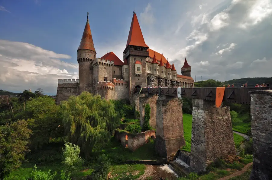
- Location: Hunedoara, Romania
- Nearby: Scărișoara Ice Cave (6 km)
Best time to visit & climate
The most pleasant time to visit is Jun–Aug.
| Jan | Feb | Mar | Apr | May | Jun | Jul | Aug | Sep | Oct | Nov | Dec | |
|---|---|---|---|---|---|---|---|---|---|---|---|---|
| Avg °C | -4 | -3 | 2 | 8 | 13 | 17 | 19 | 19 | 14 | 8 | 3 | -3 |
| Rain mm | 36 | 34 | 45 | 58 | 84 | 104 | 94 | 69 | 55 | 54 | 43 | 41 |
📋 Practical info
Geography
Facts
- Curcubăta Mare is the highest peak of the entire Apuseni Mountains, standing at 1849 meters above sea level.
- The range houses the Scărișoara Cave, home to one of the largest underground glaciers in Europe by volume.
- The Padiș Plateau features the Cetățile Ponorului karst complex, which boasts massive cave portals up to 70 meters high.
- The Bears' Cave was discovered in 1975 during quarrying operations and contains perfectly preserved cave bear skeletons.
- The mountains serve as the primary drainage divide for the Arieș, Crișul Negru, and Crișul Repede river basins.
- At 1160 meters, the Vârtop Pass is a crucial road link between Bihor and Alba counties and a popular ski resort.
Explore nearby
Notable places around
Route planner — Car & Motorhome
Where do you start? We build the route here, with stops and country notes along the way.
© OpenStreetMap contributors · OpenRouteService
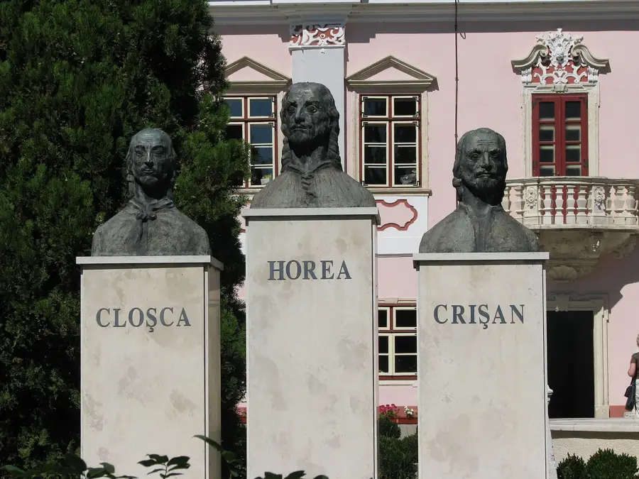
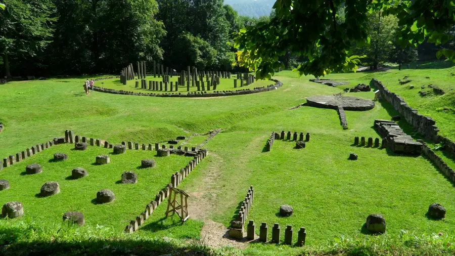
Sights in the town Bihor Mountains (1)
Sights nearby
Frequently asked questions
What is the main attraction in the Bihor Mountains?
Which is the highest peak?
Where is it recommended to stay?
Can you ski here in winter?
What local food should I try?
Bihor Mountains: where is it located?
Bihor Mountains: when is the best time to visit?
Bihor Mountains: why is it worth visiting?

Nearby cities
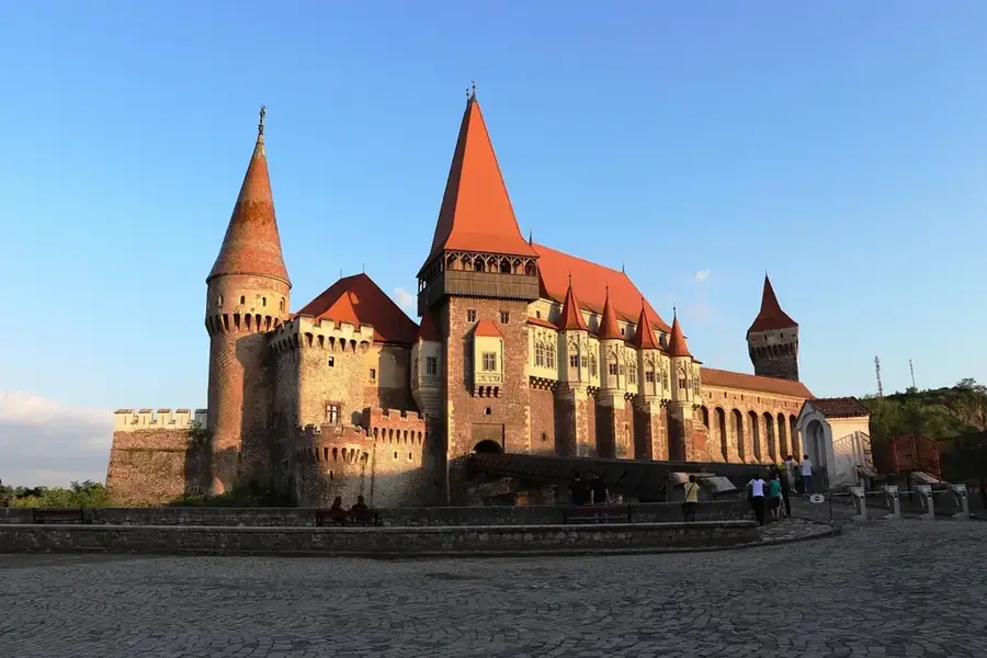


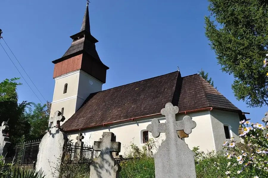
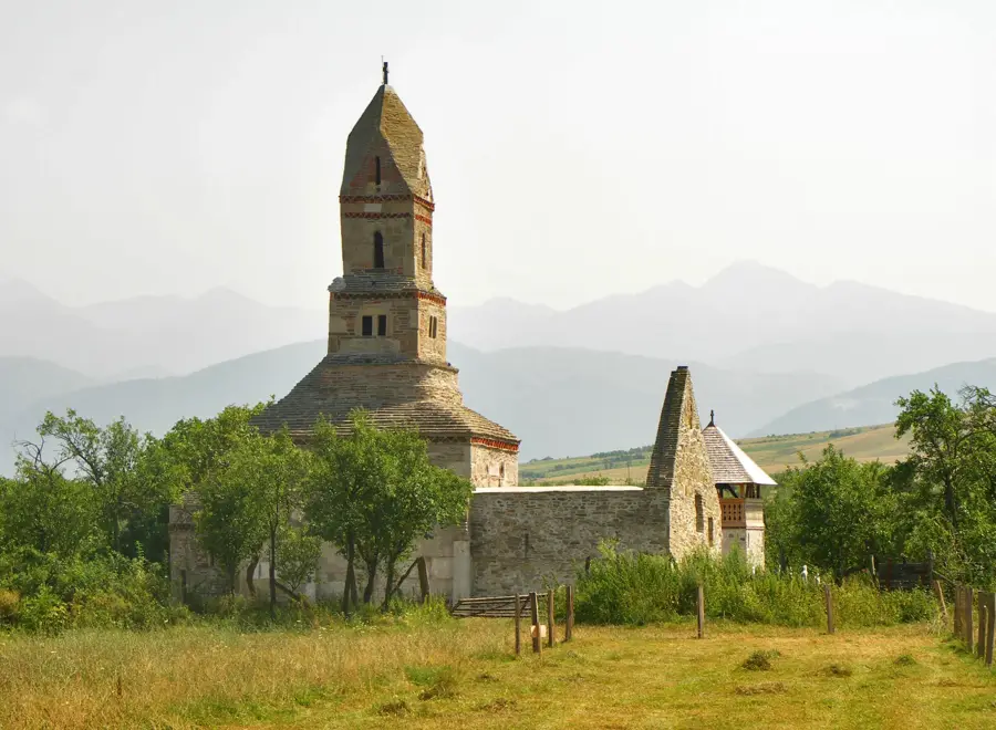
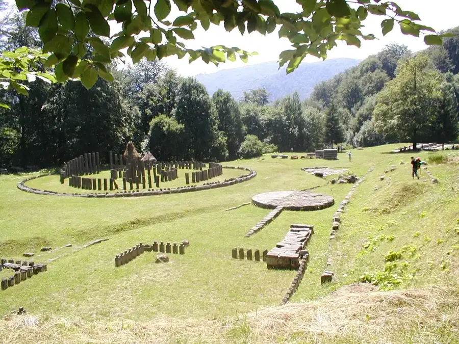
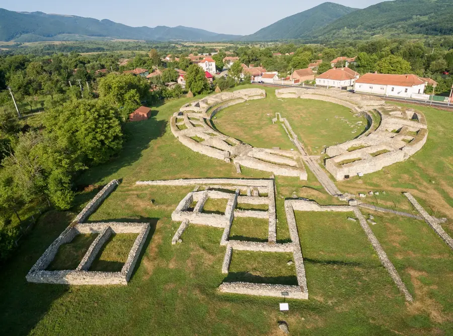
History & landmarks
Nature

More places