Plizio Visual Lab
Paiva River Valley
Weather…
Water temperature…
The Paiva River Valley in northern Portugal is considered one of the most pristine and well-preserved river environments in Europe, forming an integral part of the UNESCO-recognized Arouca Geopark. The Paiva River originates in the Serra do Nave and carves through deep gorges and untouched landscapes before joining the Douro River. The valley gained global recognition for the 'Passadiços do Paiva' (Paiva Walkways), an award-winning eight-kilometer wooden boardwalk system that follows the river's left bank. These walkways allow visitors to access unique geological formations, hidden waterfalls, and crystal-clear swimming holes that were previously unreachable. The river is a premier destination for whitewater sports like rafting and canyoning due to its turbulent waters and high ecological quality. The valley supports diverse wildlife, including otters and several species of eagles, benefiting from the river's status as one of Portugal's cleanest watercourses. The local mountain villages maintain centuries-old agricultural practices, adding a profound cultural layer to the natural experience.
- Location: Portugal
- Top sights: Praia Além do Barco · Praia Fluvial da Paradinha · Mira Paiva
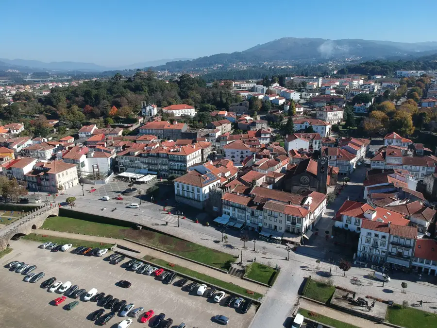
- Nearby: São João da Madeira (26 km)
Best time to visit & climate
The most pleasant time to visit is Jun–Aug.
| Jan | Feb | Mar | Apr | May | Jun | Jul | Aug | Sep | Oct | Nov | Dec | |
|---|---|---|---|---|---|---|---|---|---|---|---|---|
| Avg °C | 6 | 7 | 9 | 11 | 15 | 18 | 21 | 21 | 19 | 14 | 9 | 7 |
| Rain mm | 134 | 95 | 114 | 90 | 58 | 33 | 14 | 22 | 47 | 134 | 137 | 120 |
📋 Practical info
Geography
Facts
- The Paiva Walkways cover a distance of 8 kilometers along the riverbank
- The Paiva River is consistently ranked among the cleanest in Europe
- The valley is home to the 516 Arouca bridge, a massive suspension bridge
- It is part of the Arouca UNESCO Global Geopark due to its geology
- The river is famous for its 'Garganta do Paiva' (Paiva Gorge) formation
- The ecosystem supports the endangered Iberian desman (Galemys pyrenaicus)
Explore nearby
Notable places around
Route planner — Car & Motorhome
Where do you start? We build the route here, with stops and country notes along the way.
© OpenStreetMap contributors · OpenRouteService
Sights in the town Paiva River Valley (5)
Mira Paiva📍 landmark
A viewpoint in the Paiva valley offering a panoramic view of the river.
Icnofósseis de Mourinha📍 landmark
A site in the Paiva valley where fossil traces of prehistoric life can be seen.
Icnofósseis de Cabanas Longas📍 landmark
A paleontological site featuring trace fossils located in the Paiva valley.
Sights nearby
Frequently asked questions
What are the Passadiços do Paiva?
Where is the 516 Arouca bridge located?
Is a ticket required for the trails?
Is the trail difficult to hike?
Can you swim in the Paiva River?
Paiva River Valley: where is it located?
Paiva River Valley: what is there to see?
Paiva River Valley: when is the best time to visit?
Paiva River Valley: why is it worth visiting?

Nearby cities