Plizio Visual Lab
Serra do Montemuro
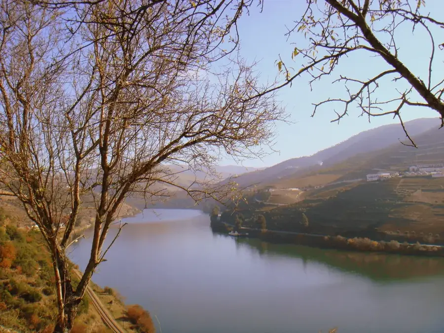
Serra do Montemuro is the eighth highest mountain range in mainland Portugal, situated between the Douro River to the north and the Paiva River to the south. Its highest elevation is the Montemuro summit at 1,381 meters, defined by its extensive high-altitude plateaus. The geology is predominantly granitic, with erosion having sculpted impressive rock formations across the landscape. Historically, these mountains served as a strategic defensive line and a place of seclusion, evidenced by the ruins of ancient forts and hermitages. The climate is harsh, characterized by snowy winters and short, cool summers, which support a distinct alpine flora. As part of the Natura 2000 network, the range provides a critical habitat for the Iberian wolf and various birds of prey. Traditional sheep farming and the crafting of wool garments remain central to the local economy and cultural identity of its remote villages. The region's relative isolation has helped preserve centuries-old customs and a largely pristine natural environment. Currently, Serra do Montemuro is a prime destination for ecotourism and challenging mountain trekking.
- Location: Portugal
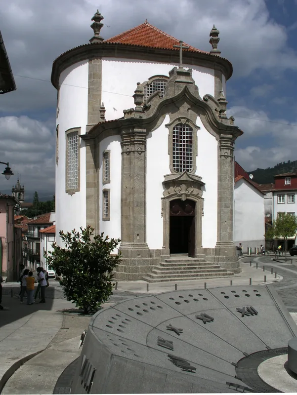
- Top sights: Baloiço do Penedo da Moura · Capela de Nossa Senhora da Ouvida
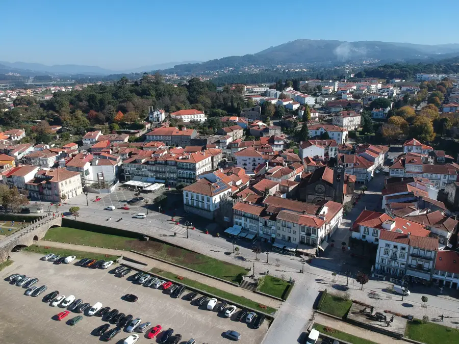
- Nearby: Tarouca (12 km)
Best time to visit & climate
The most pleasant time to visit is Jun–Aug.
| Jan | Feb | Mar | Apr | May | Jun | Jul | Aug | Sep | Oct | Nov | Dec | |
|---|---|---|---|---|---|---|---|---|---|---|---|---|
| Avg °C | 6 | 7 | 9 | 11 | 15 | 18 | 21 | 21 | 19 | 14 | 9 | 7 |
| Rain mm | 134 | 95 | 114 | 90 | 58 | 33 | 14 | 22 | 47 | 134 | 137 | 120 |
📋 Practical info
Geography
Facts
- At 1,381 meters, it is one of the highest summits in central Portugal.
- The mountain range is a designated protected area under Natura 2000.
- The Paiva River is renowned as one of the cleanest rivers in Europe.
- Granite formations include striking features like the 'Fraga da Ermida'.
- The region supports one of the few stable Iberian wolf populations in Portugal.
- Traditional garments made from 'Burel' (wool felt) are a local specialty.
Explore nearby
Notable places around
Route planner — Car & Motorhome
Where do you start? We build the route here, with stops and country notes along the way.
© OpenStreetMap contributors · OpenRouteService
Sights in the town Serra do Montemuro (2)
Sights nearby
Frequently asked questions
How high is Montemuro?
Are there wolves there?
What is the village of Gralheira?
Where is Serra do Montemuro located?
Are there monasteries there?
Serra do Montemuro: where is it located?
Serra do Montemuro: what is there to see?
Serra do Montemuro: when is the best time to visit?
Serra do Montemuro: why is it worth visiting?

Nearby cities