Plizio Visual Lab
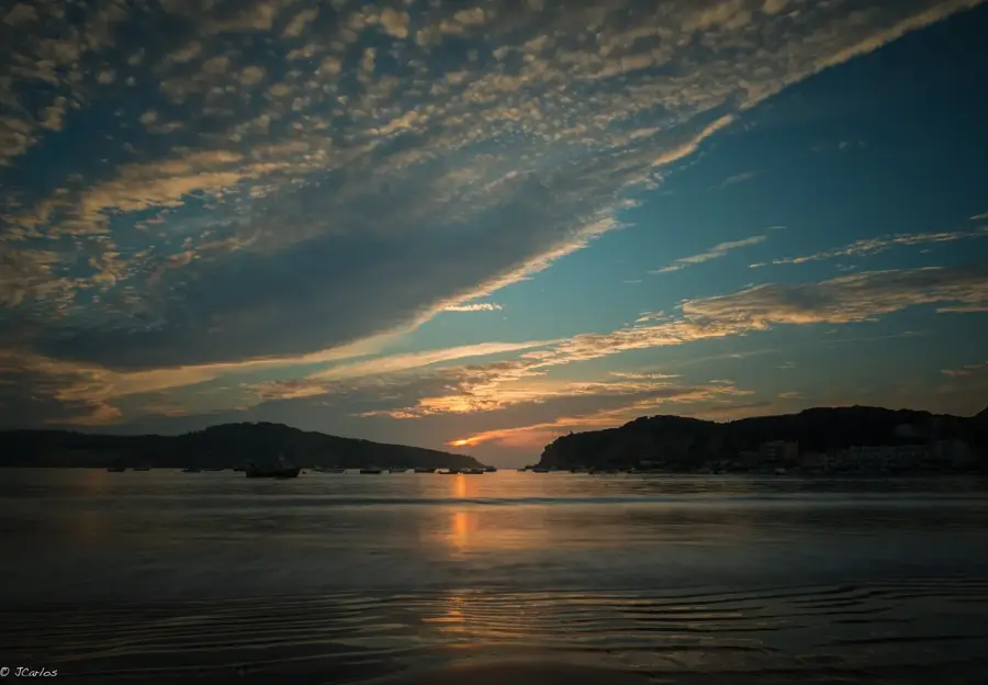
Leiria National Forest
Weather…
Water temperature…
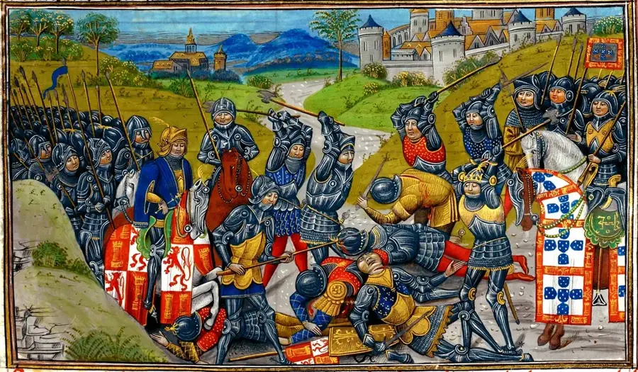
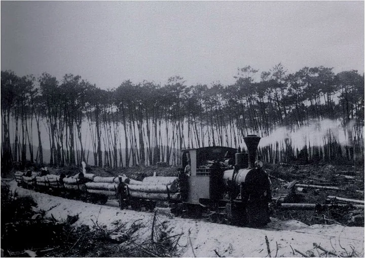
The Mata Nacional de Leiria, also known as the Pinhal de Leiria, is a historic state forest located on the western coast of Portugal. Originally planted in the 12th century by King Afonso Henriques, it was significantly expanded in the 14th century by King Dinis to stabilize shifting sand dunes and protect agricultural land. This pine forest played a pivotal role during the Age of Discovery, providing the timber necessary for building the caravels that explored the globe. The forest covers an area of roughly 11,000 hectares, predominantly consisting of Maritime Pine (Pinus pinaster). In 2017, the forest suffered a catastrophic wildfire that destroyed approximately 80% of its trees. Since then, extensive reforestation efforts have been underway to restore this vital piece of Portugal’s cultural and environmental heritage.
- Location: Portugal
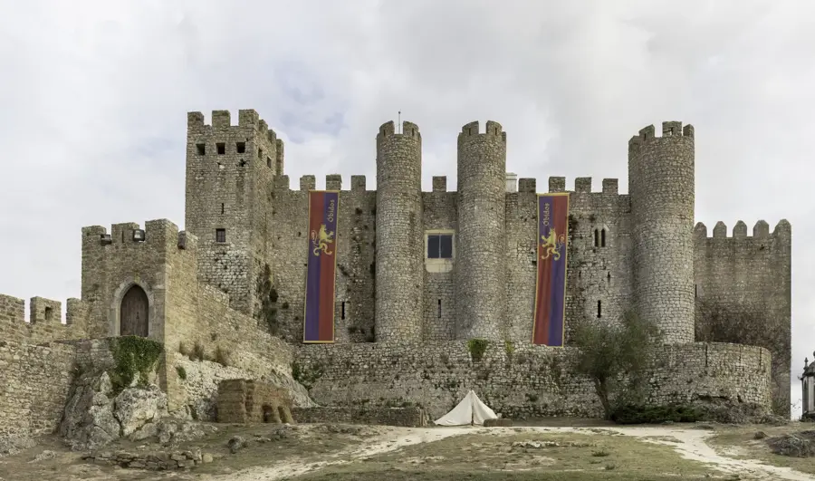
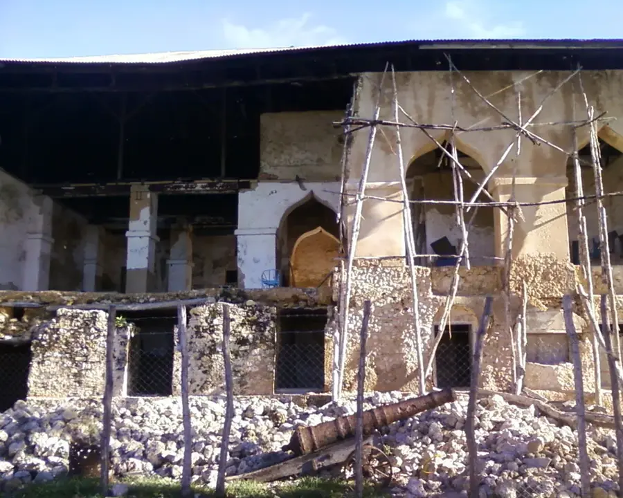
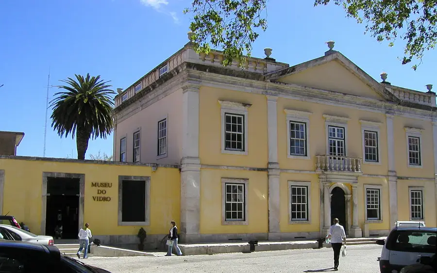
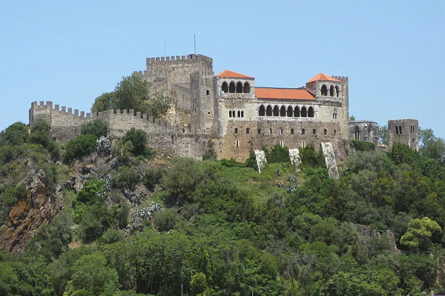
- Top sights: Baloiço do Forno da Telha · Baloiço Pé Descalço · Guardião d'El Rei
Best time to visit & climate
The most pleasant time to visit is Jul–Sep.
| Jan | Feb | Mar | Apr | May | Jun | Jul | Aug | Sep | Oct | Nov | Dec | |
|---|---|---|---|---|---|---|---|---|---|---|---|---|
| Avg °C | 10 | 10 | 12 | 14 | 16 | 19 | 21 | 21 | 20 | 17 | 13 | 10 |
| Rain mm | 108 | 78 | 84 | 77 | 51 | 23 | 8 | 14 | 38 | 112 | 119 | 95 |
📋 Practical info
Geography
Facts
- The forest covers a total area of 11,000 hectares.
- King Dinis ordered the expansion in the 14th century.
- About 80% of the area was burned in the 2017 fires.
- Timber from here was used for Age of Discovery ships.
- The primary tree species is the Maritime Pine.
- The forest has stabilized coastal dunes for 700 years.
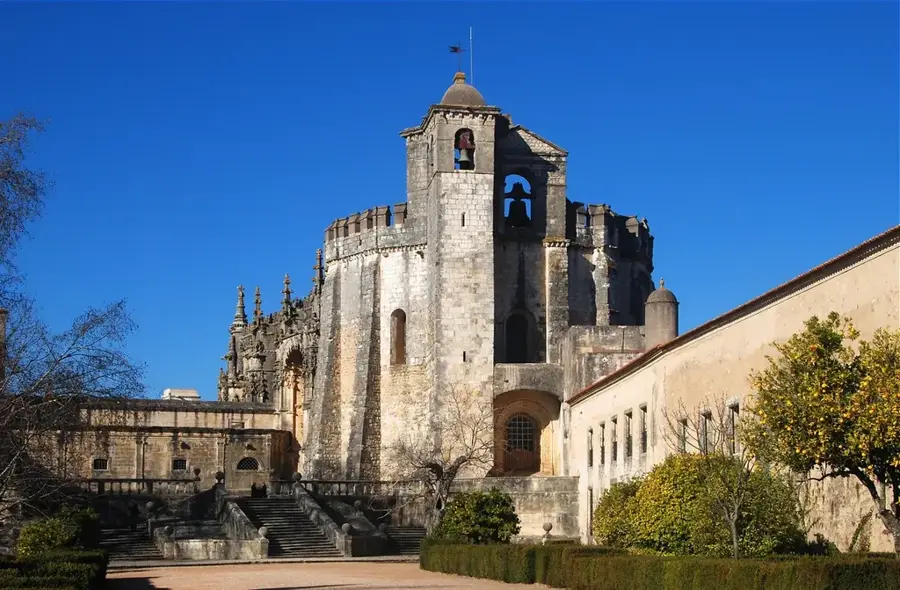
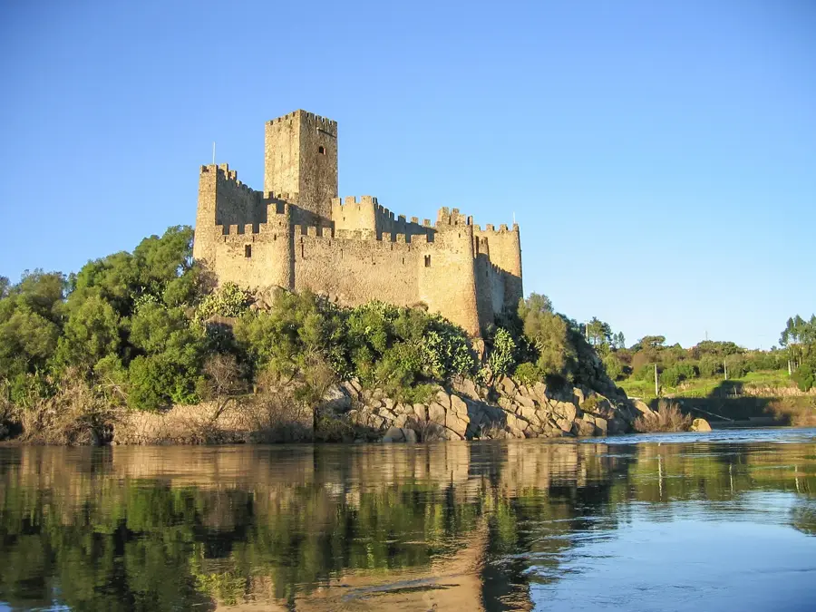
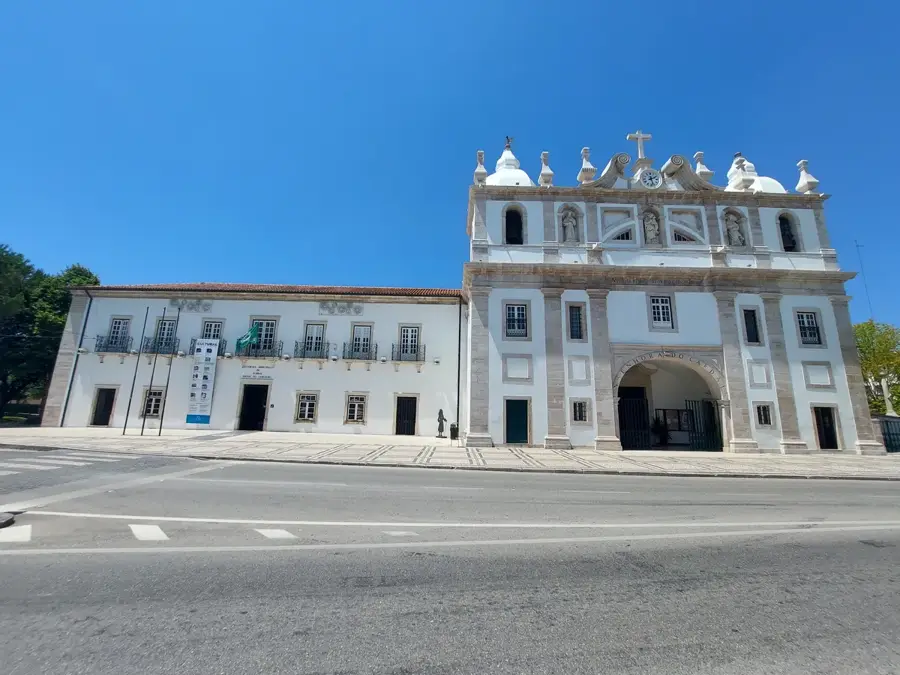
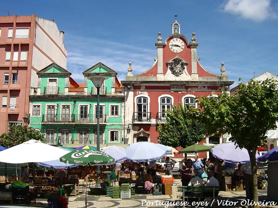
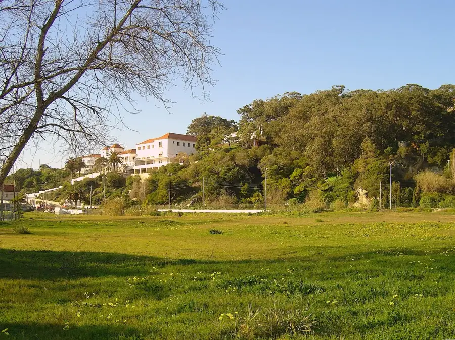
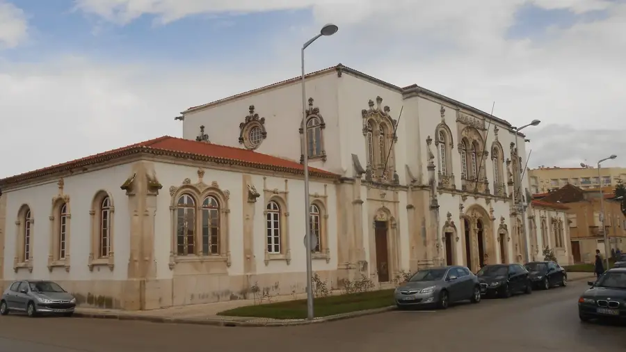
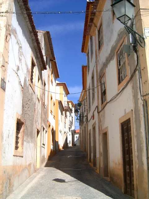
Explore nearby
Notable places around
Route planner — Car & Motorhome
Where do you start? We build the route here, with stops and country notes along the way.
© OpenStreetMap contributors · OpenRouteService
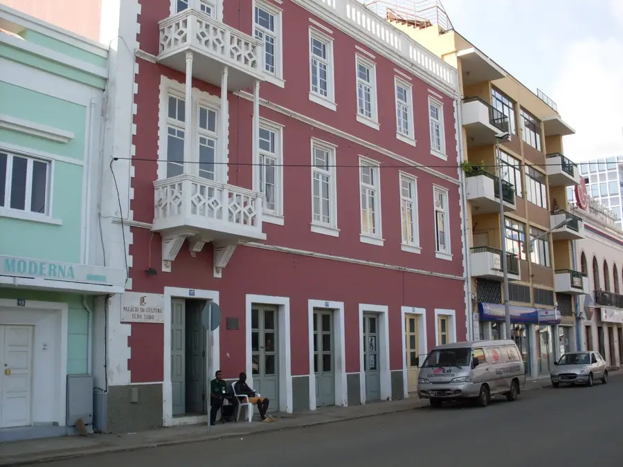
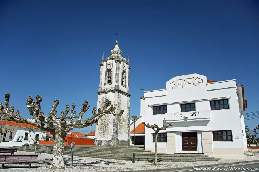
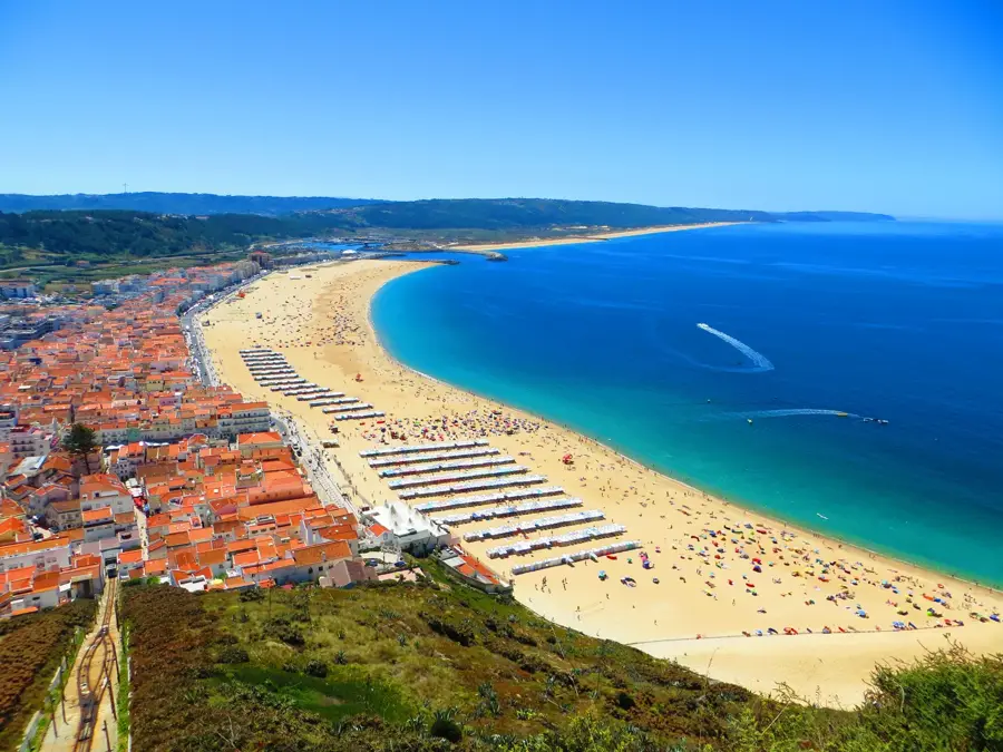
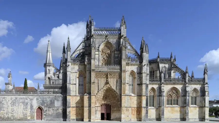
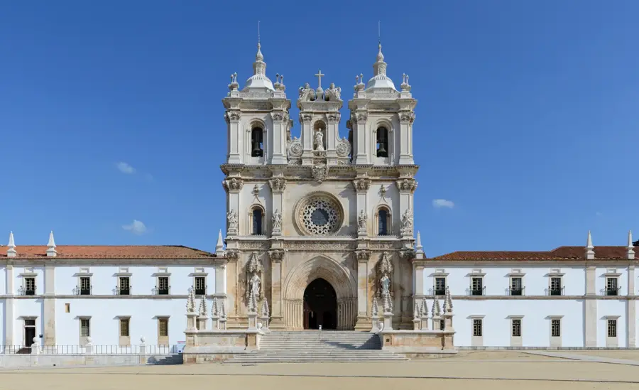
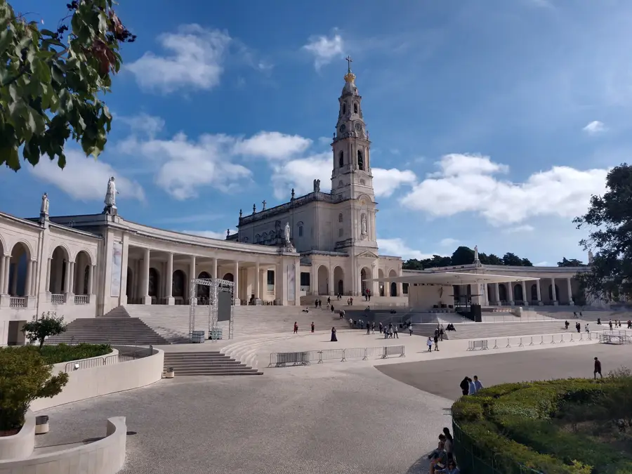
Sights in the town Leiria National Forest (3)
Sights nearby
Frequently asked questions
Who planted the forest of Leiria?
What was the wood used for in the past?
Are there hiking trails in Mata Nacional de Leiria?
How large is the forest area?
Is the forest accessible after the fires?
Leiria National Forest: where is it located?
Leiria National Forest: what is there to see?
Leiria National Forest: when is the best time to visit?
Leiria National Forest: why is it worth visiting?

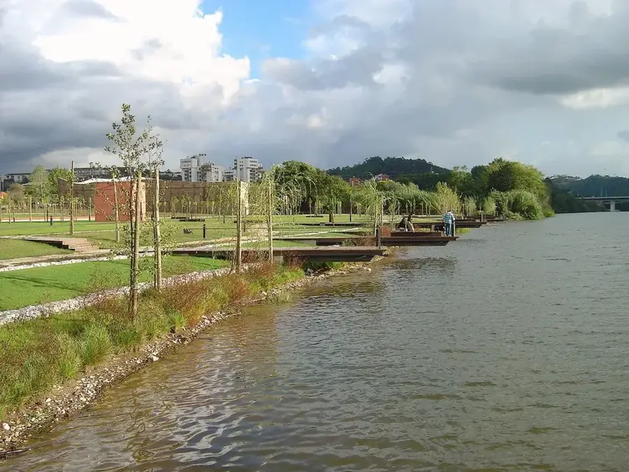
Nearby cities

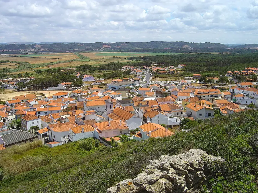


History & landmarks

Nature
More places