Plizio Visual Lab
Mondego River
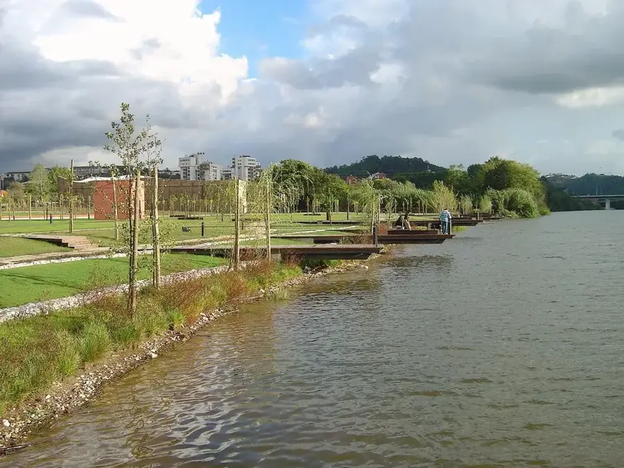
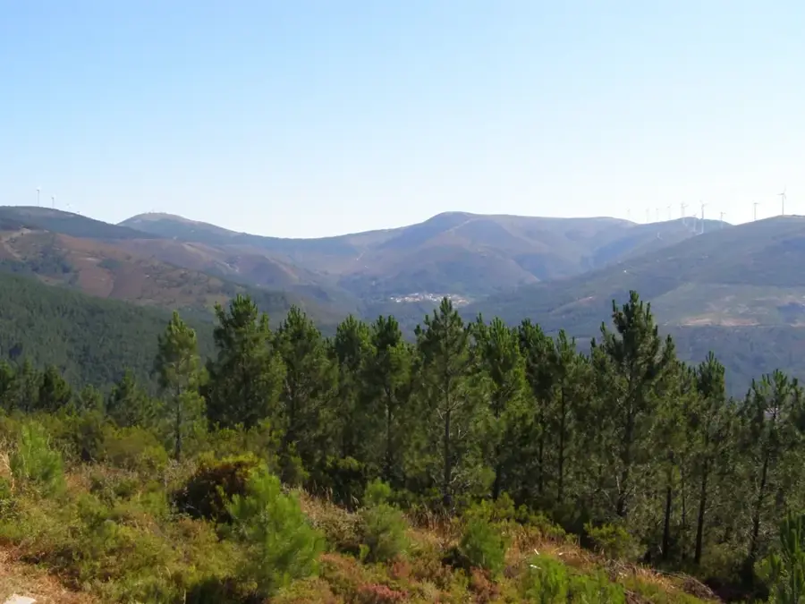
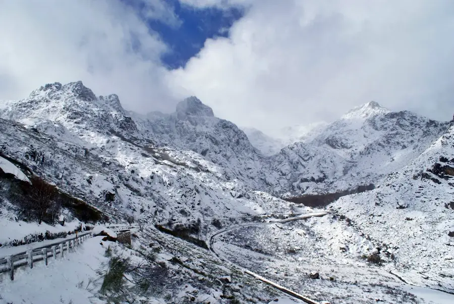
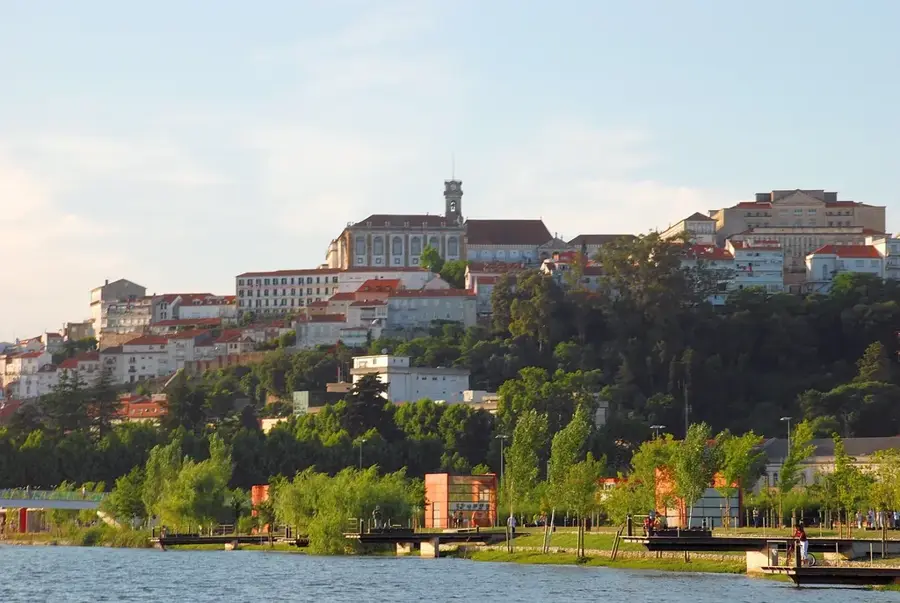
The Mondego River is the longest river that flows entirely within Portuguese territory. It originates in the Serra da Estrela mountains near Gouveia at an altitude of 1,425 meters and travels 258 kilometers before emptying into the Atlantic Ocean at Figueira da Foz. The river passes through major cities such as Coimbra, where it shapes the urban landscape and historically served as a vital transport route. Its watershed covers approximately 6,670 square kilometers and is crucial for agriculture in the Baixo Mondego valley, particularly for rice cultivation. To control flooding and generate hydroelectric power, several dams were constructed along its course, including the Aguieira Dam. In Portuguese literature and the Fado of Coimbra, the Mondego is frequently invoked as a romantic and nostalgic symbol.
- Location: Portugal
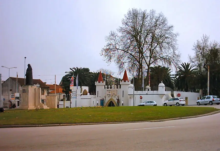
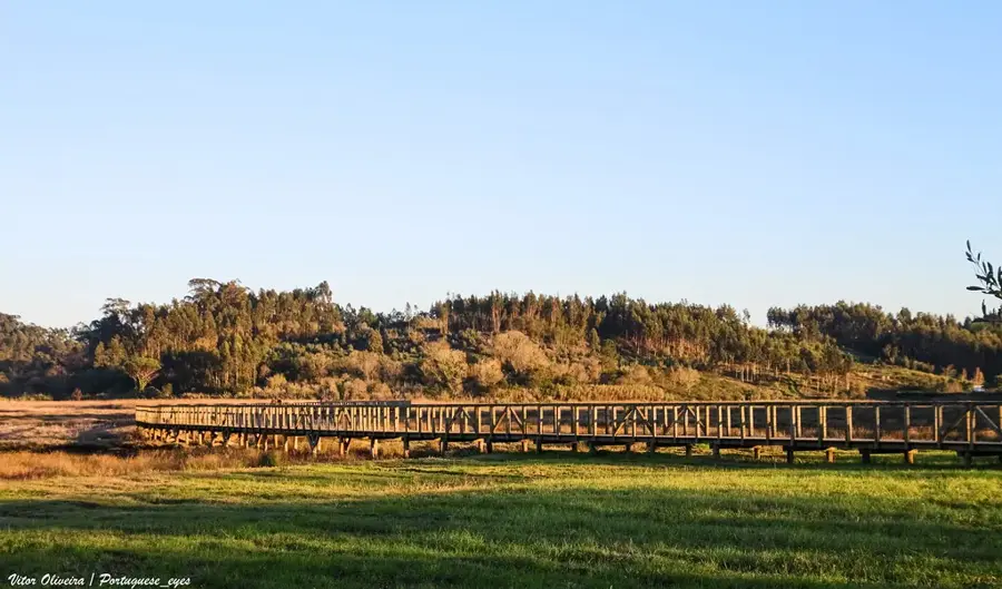
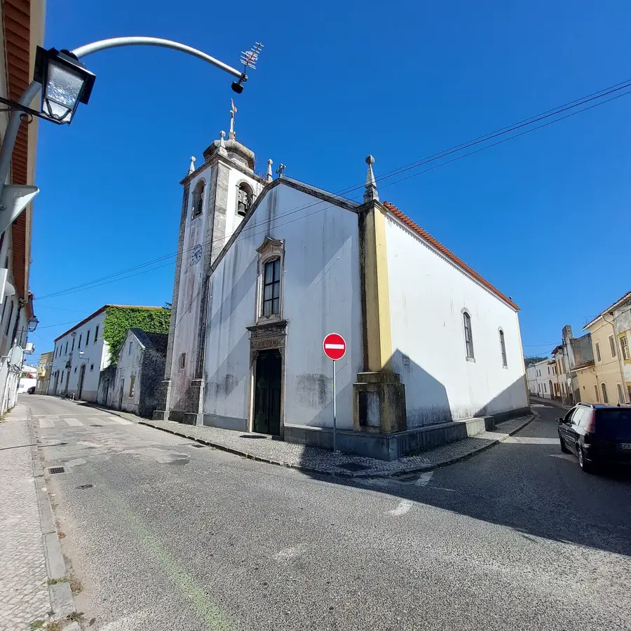
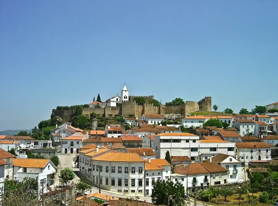
- Top sights: Castelo de Montemor-o-Velho · Miradouro de Montemor-o-Velho · Baloiço de Soure Alfarelos
Best time to visit & climate
The most pleasant time to visit is Jul–Sep.
| Jan | Feb | Mar | Apr | May | Jun | Jul | Aug | Sep | Oct | Nov | Dec | |
|---|---|---|---|---|---|---|---|---|---|---|---|---|
| Avg °C | 10 | 10 | 12 | 14 | 16 | 19 | 21 | 21 | 20 | 17 | 13 | 10 |
| Rain mm | 108 | 78 | 84 | 77 | 51 | 23 | 8 | 14 | 38 | 112 | 119 | 95 |
📋 Practical info
Geography
Facts
- The river flows for a total length of 258 kilometers.
- The source is at 1,425m elevation in Serra da Estrela.
- Its drainage basin covers roughly 6,670 square km.
- The Aguieira Dam is the largest reservoir on the river.
- The Baixo Mondego valley is famous for rice fields.
- The river mouth is located at Figueira da Foz.
Explore nearby
Notable places around
Route planner — Car & Motorhome
Where do you start? We build the route here, with stops and country notes along the way.
© OpenStreetMap contributors · OpenRouteService
Sights in the town Mondego River (8)
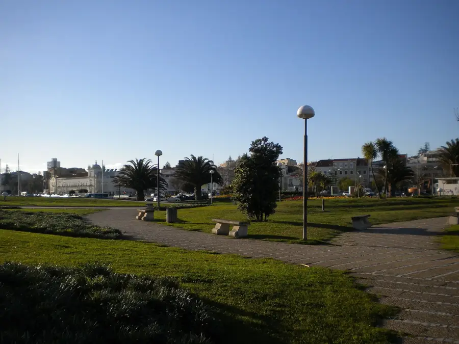
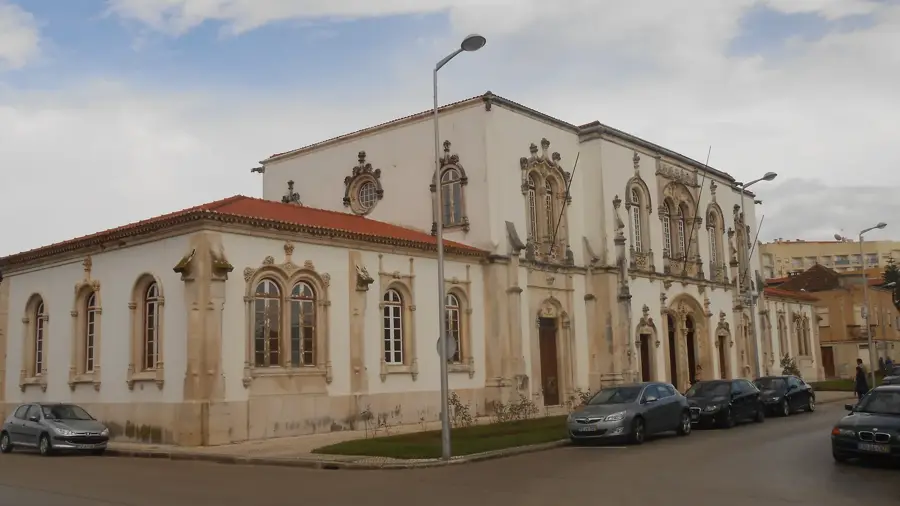
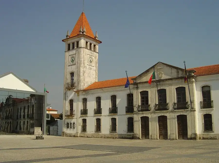
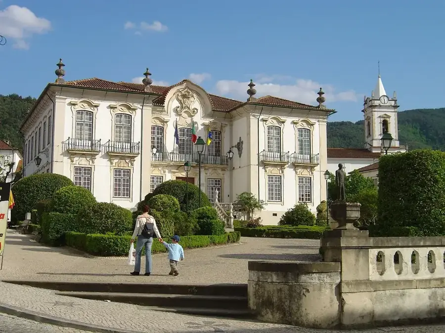
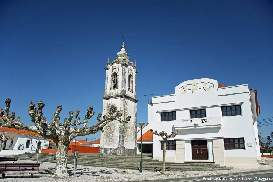
Câmara Municipal de Montemor-o-Velho📍 landmark
The town hall of the Montemor-o-Velho municipality.
Sights nearby
Frequently asked questions
Where is the source of the Rio Mondego located?
Does the Rio Mondego flow through Coimbra?
Is the Rio Mondego navigable?
Are there dams on the Rio Mondego?
Where does the Rio Mondego empty into the Atlantic?
Mondego River: where is it located?
Mondego River: what is there to see?
Mondego River: when is the best time to visit?
Mondego River: why is it worth visiting?

Nearby cities


History & landmarks

Nature
More places