Plizio Visual Lab
Maków Beskids
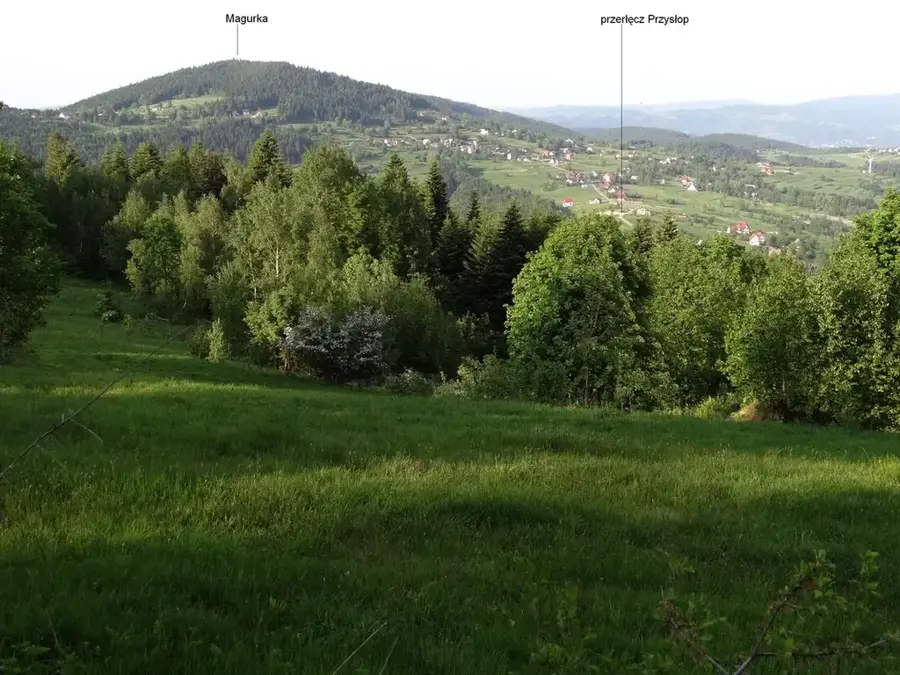
The Maków Beskids (Beskid Makowski) are a mountain range in the Western Beskids of southern Poland, located between the Skawa and Raba rivers. The highest peak in the region is Mędralowa, standing at 1169 meters, although geographic classifications of certain peaks can vary between neighboring Beskid groups. The landscape is characterized by rounded ridges and wide valleys where agriculture is practiced even at higher elevations. The upper reaches are dominated by mixed forests of fir and beech, providing a habitat for red deer and wild boar. The area is famous for its traditional wooden architecture and local craftsmanship, particularly the production of wooden toys around Myślenice. Historically, important trade routes crossed these mountains, connecting Krakow with regions south of the Carpathians. Today, the Maków Beskids serve as a quieter tourist destination, good for multi-day trekking away from large crowds, and are also known for their mineral springs.
- Location: Poland
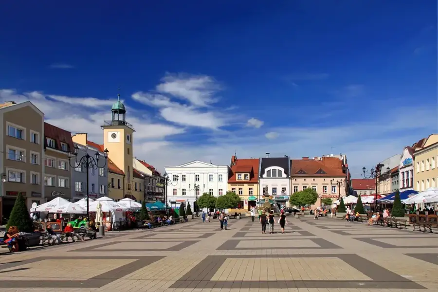
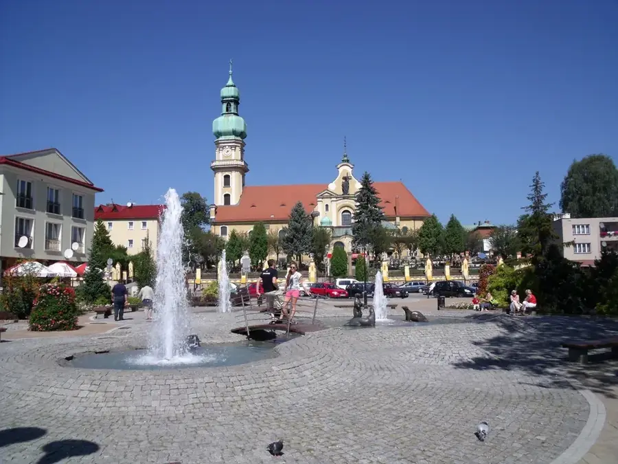
- Top sights: Izba Pamięci Rozalii Celakówny · Podbabiogórskie Centrum Kultury · Kościół pw. Przemienienia Pańskiego
- Nearby: Rabka-Zdrój (23 km)
Best time to visit & climate
The most pleasant time to visit is Jun–Aug.
| Jan | Feb | Mar | Apr | May | Jun | Jul | Aug | Sep | Oct | Nov | Dec | |
|---|---|---|---|---|---|---|---|---|---|---|---|---|
| Avg °C | -5 | -4 | 0 | 7 | 12 | 15 | 17 | 17 | 12 | 7 | 2 | -3 |
| Rain mm | 63 | 59 | 64 | 63 | 114 | 118 | 129 | 94 | 92 | 73 | 60 | 58 |
📋 Practical info
Geography
Facts
- Highest point is Mędralowa at 1169 meters
- Stretches between the valleys of the Skawa and Raba
- Famous center for traditional wooden toy making
- Features an astronomical observatory on Mount Lubomir
- Regional hubs include Myślenice and Maków Podhalański
- Historical trade route between Krakow and Hungary
Explore nearby
Notable places around
Route planner — Car & Motorhome
Where do you start? We build the route here, with stops and country notes along the way.
© OpenStreetMap contributors · OpenRouteService
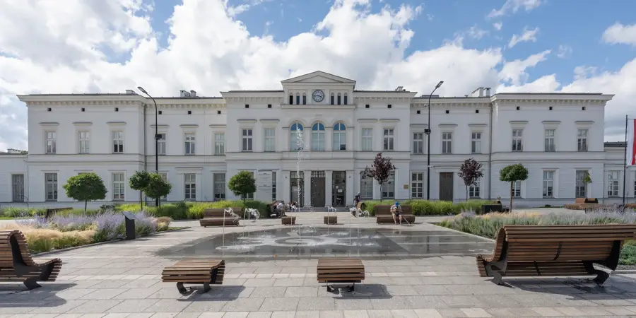
Sights in the town Maków Beskids (4)
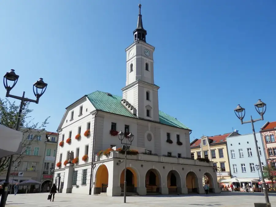
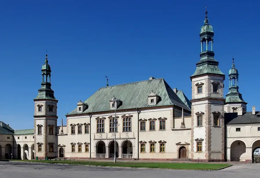
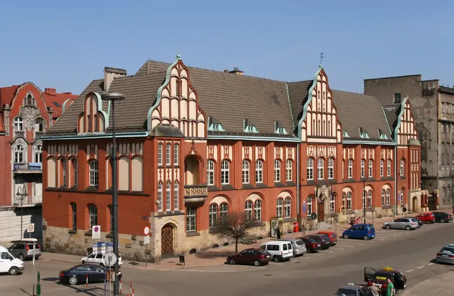
Sights nearby
Frequently asked questions
Where are the Maków Beskids located?
Which peak is the highest?
What is the characteristic craft of the region?
Are the trails suitable for families?
Are there any mountain shelters there?
Maków Beskids: where is it located?
Maków Beskids: what is there to see?
Maków Beskids: when is the best time to visit?
Maków Beskids: why is it worth visiting?

Nearby cities