Plizio Visual Lab
Valenzuela

ℹ️Practical info — Valenzuela
▾
🌤 Weather — 5 days
📍 Nearby
Sights nearby
💡 Tips
- Valenzuela is the northern gateway to the capital; use the Valenzuela Gateway Complex (VGC) for bus trips heading north.
- Visit the Valenzuela City People's Park at night to enjoy the fountain shows and the well-lit walking paths.
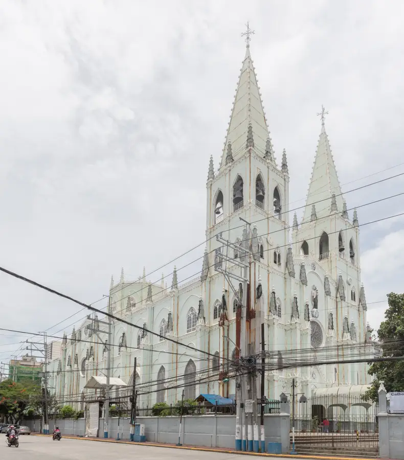
- The Polo district is the historical heart of the city; check out the old San Roque Church and the Polo Park.
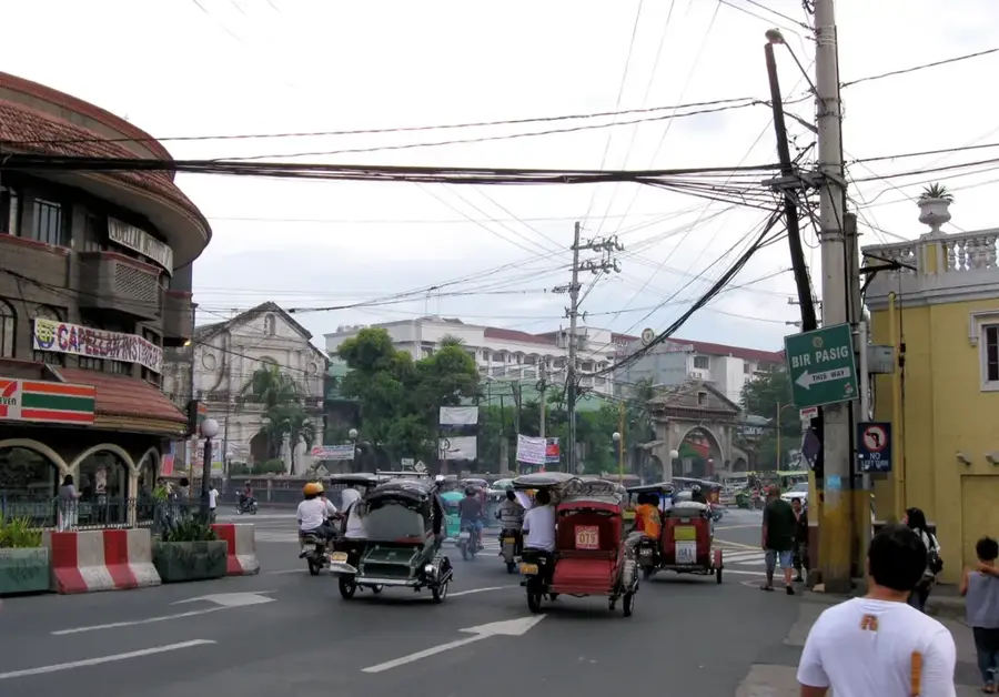
- Watch out for heavy truck traffic along MacArthur Highway, as the city is a major industrial hub.
- The city is known for being highly organized; local government-run parks and museums are usually well-maintained.
🍽 Food
A bite-sized steamed rice cake that is the pride of Valenzuela; look for the original stores in Polo.
The city has legacy bakeshops that produce rich and buttery Filipino brioche buns.
The area around the People's Park is a great place to try clean and organized street food stalls in the evening.
🛍 Shopping · 🧘 Quiet spots
The primary shopping destination located along MacArthur Highway, featuring a wide range of stores.
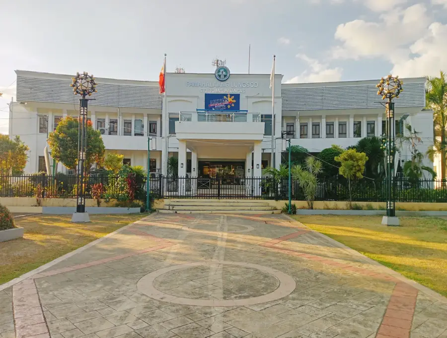
A more compact shopping area located near the city hall, convenient for quick errands.
A spacious, award-winning public park that has a safe and clean environment for a leisurely walk.
A small, quiet plaza in the historical Polo district, great for observing local heritage away from the highway.
Water temperature…
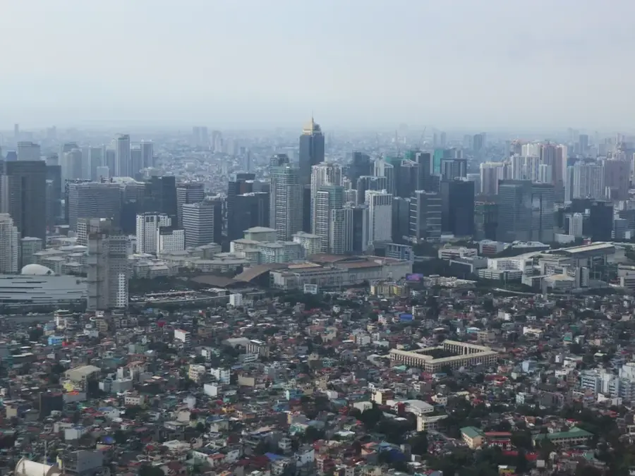
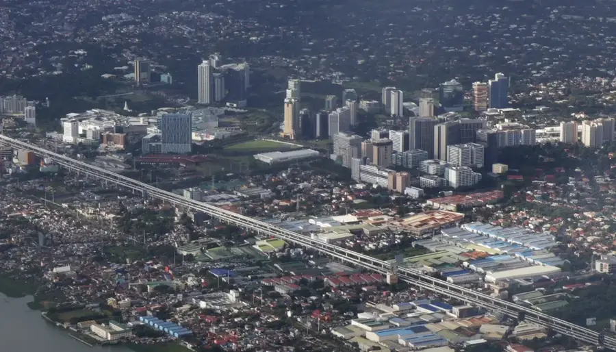
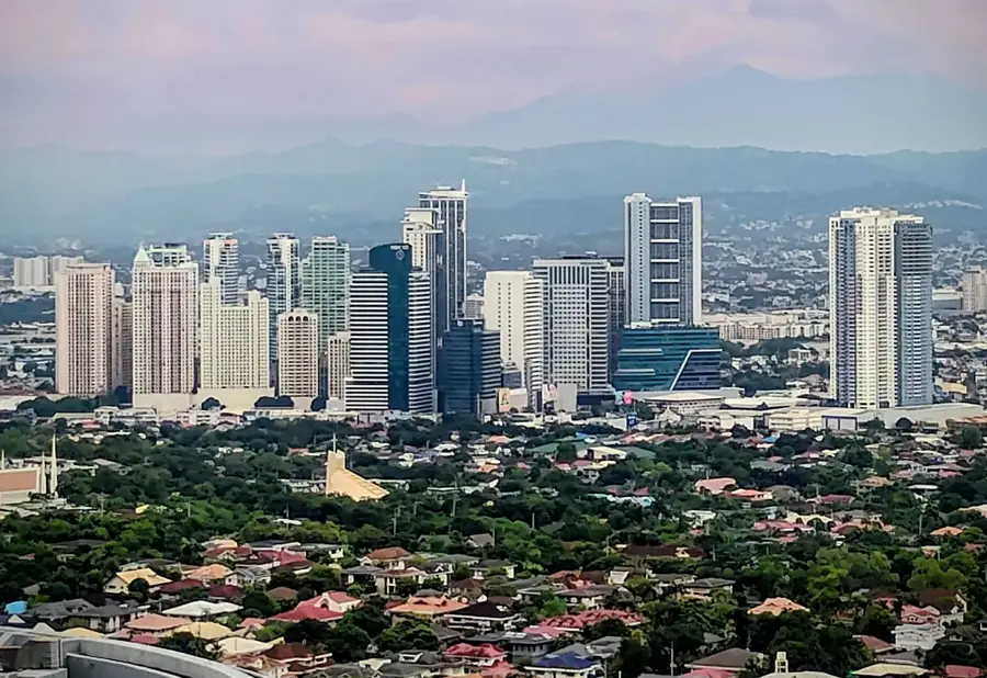
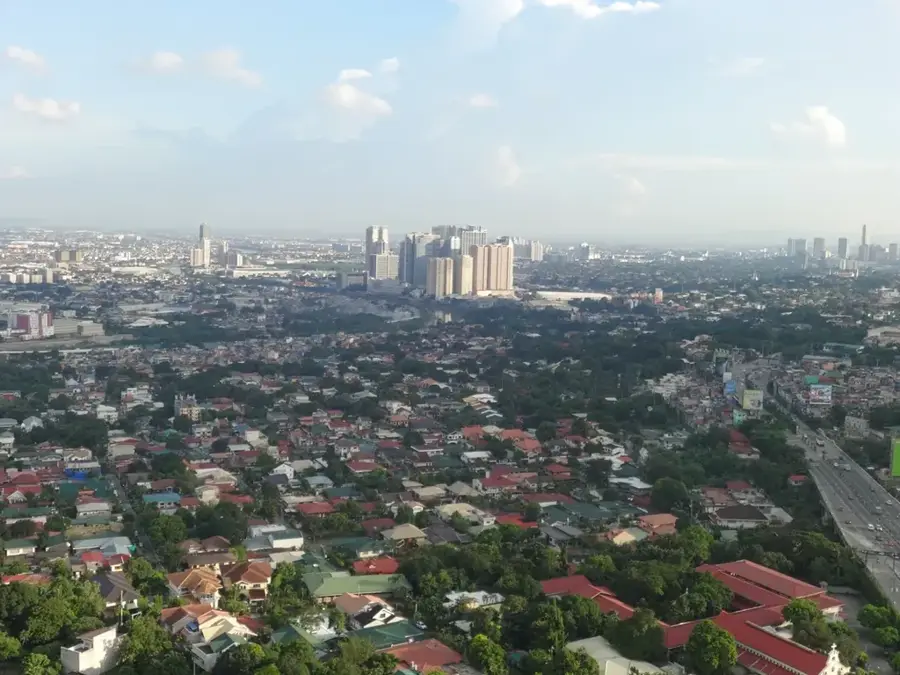
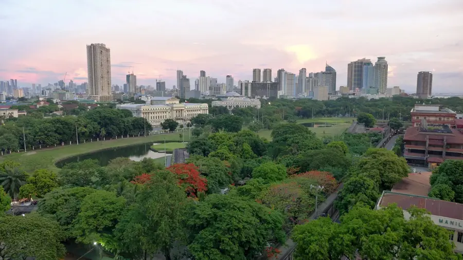
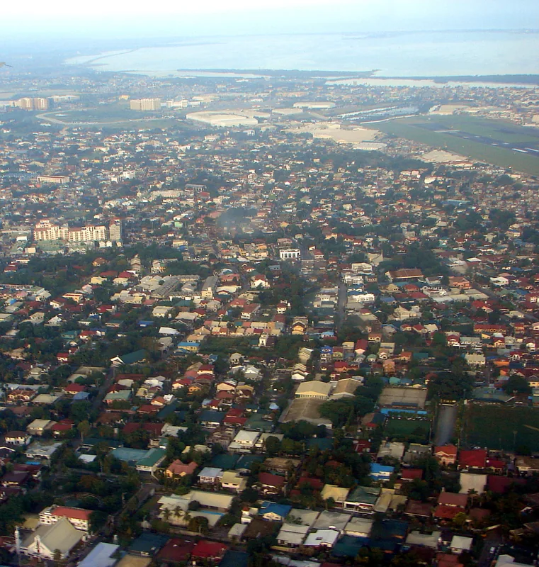
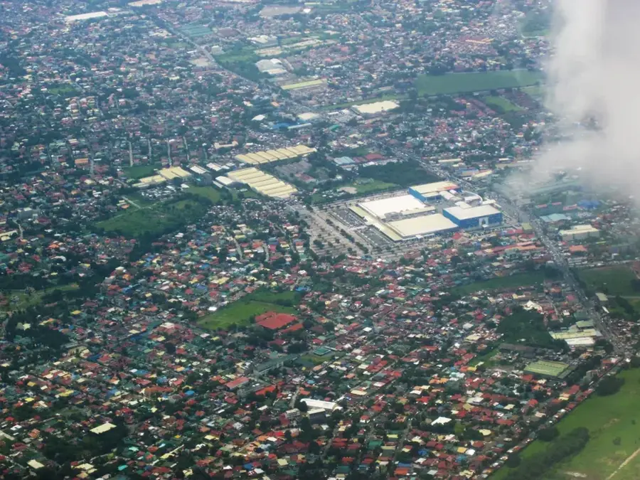
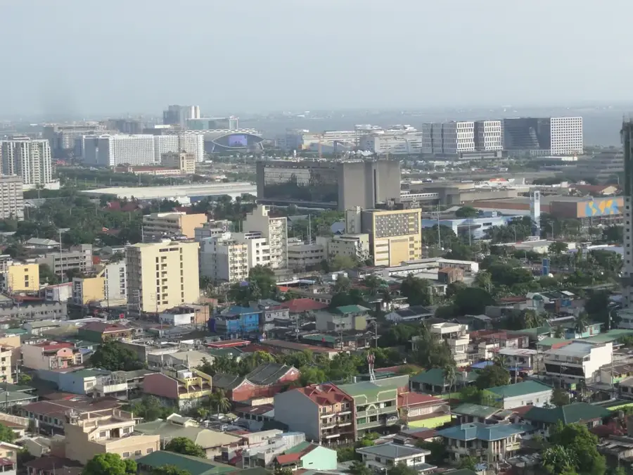
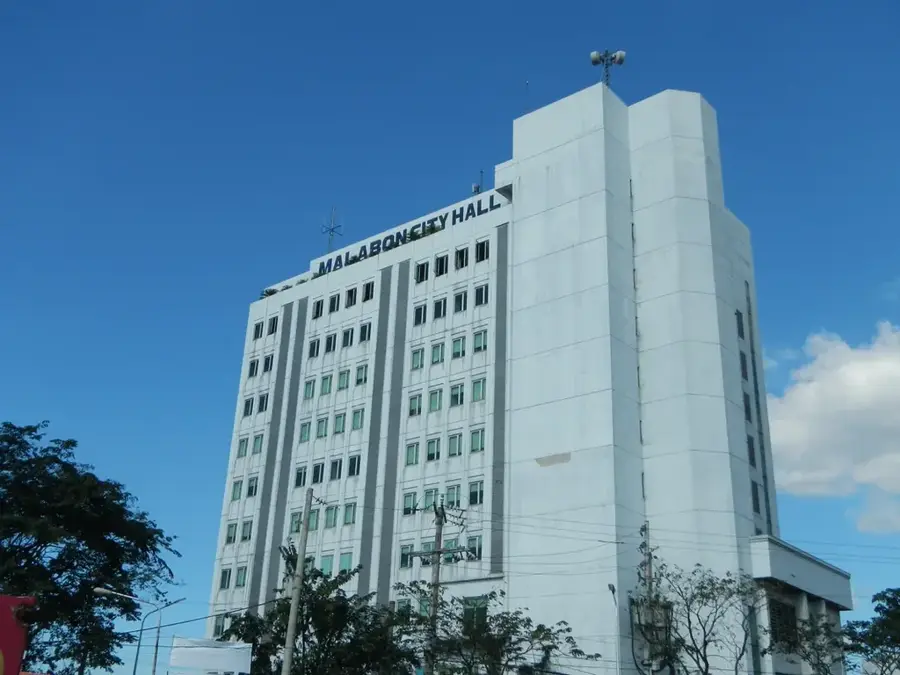
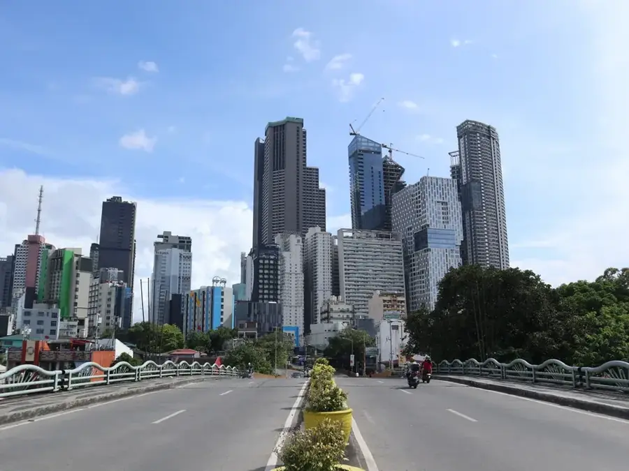
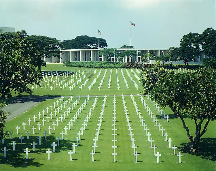
Valenzuela is a prominent city within Metro Manila in the Philippines and is recognized as one of the country's primary industrial hubs. Originally known as Polo, the city was renamed in 1963 to honor Dr. Pío Valenzuela, a physician and leader of the Philippine Revolution against Spanish rule. Due to its high density of manufacturing plants and production facilities, Valenzuela is frequently referred to as the "City of Factories." It borders the province of Bulacan to the north and serves as a crucial gateway connecting the capital to the northern provinces of Luzon. Despite its industrial reputation, Valenzuela retains historical landmarks such as Arkong Bato, a stone arch built in 1860 that once marked the boundary between Bulacan and Manila. Over recent decades, the city has invested heavily in education and infrastructure to support its rapidly growing population and workforce. Valenzuela is also noted for its efficient local governance, having received numerous awards for its proactive social development programs and public services.
- Location: Philippines
- Nearby: Obando (5 km)
- Population: ~725.173 (2025)
Best time to visit & climate
The most pleasant time to visit is Jan–Mar.
| Jan | Feb | Mar | Apr | May | Jun | Jul | Aug | Sep | Oct | Nov | Dec | |
|---|---|---|---|---|---|---|---|---|---|---|---|---|
| Avg °C | 24 | 24 | 25 | 27 | 28 | 27 | 26 | 26 | 26 | 26 | 25 | 24 |
| Rain mm | 148 | 148 | 119 | 102 | 171 | 248 | 312 | 289 | 301 | 341 | 345 | 393 |
Geography
Facts
- Valenzuela was officially named after Dr. Pío Valenzuela in 1963.
- The Arkong Bato, built in 1860, is a prominent historical landmark of the city.
- The city covers a total land area of approximately 44.59 square kilometers.
- Valenzuela was officially converted into a highly urbanized city in 1998.
- It is known as the northern gateway to the Metro Manila region.
- There are over 10,000 registered industrial and commercial establishments in the city.
Explore nearby
Notable places around
Route planner — Car & Motorhome
Where do you start? We build the route here, with stops and country notes along the way.
© OpenStreetMap contributors · OpenRouteService
Sights in the town Valenzuela (1)
Frequently asked questions
What is special about Valenzuela?
Are there attractions?
What is the traffic like?
How do I get to Valenzuela?
Is a stay recommended?
Valenzuela: where is it located?
Valenzuela: when is the best time to visit?
Valenzuela: why is it worth visiting?

Nearby cities


History & landmarks

More places