Plizio Visual Lab
Marcahuamachuco
Weather…
Water temperature…
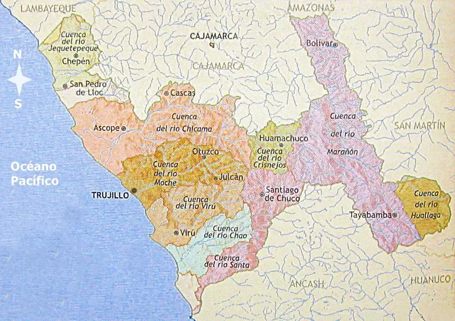
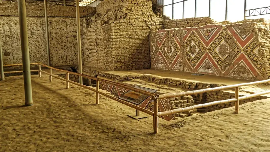
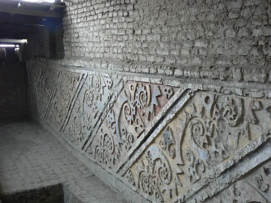
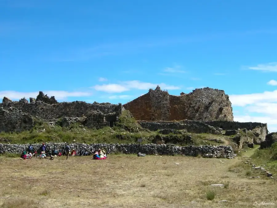
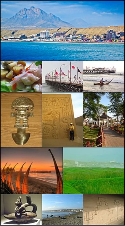
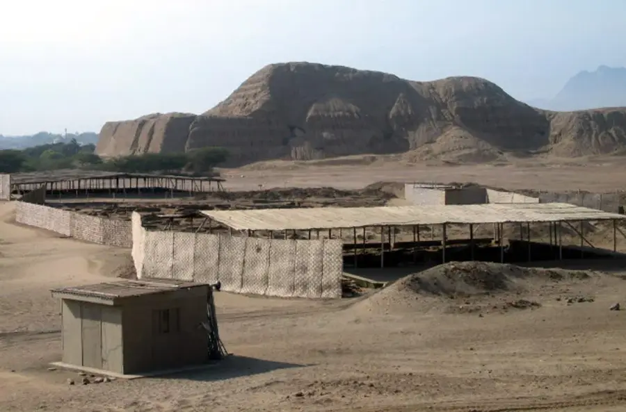
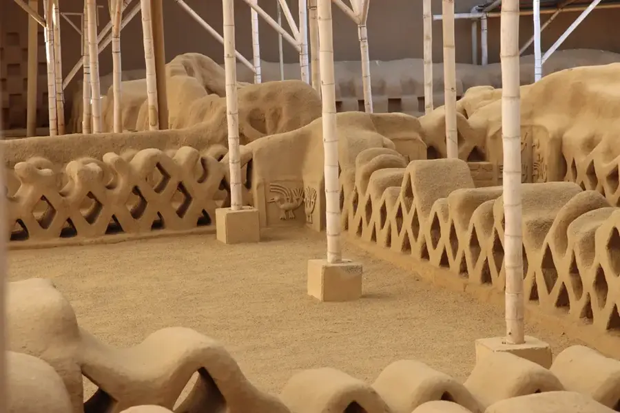
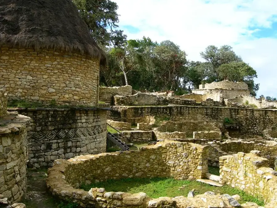
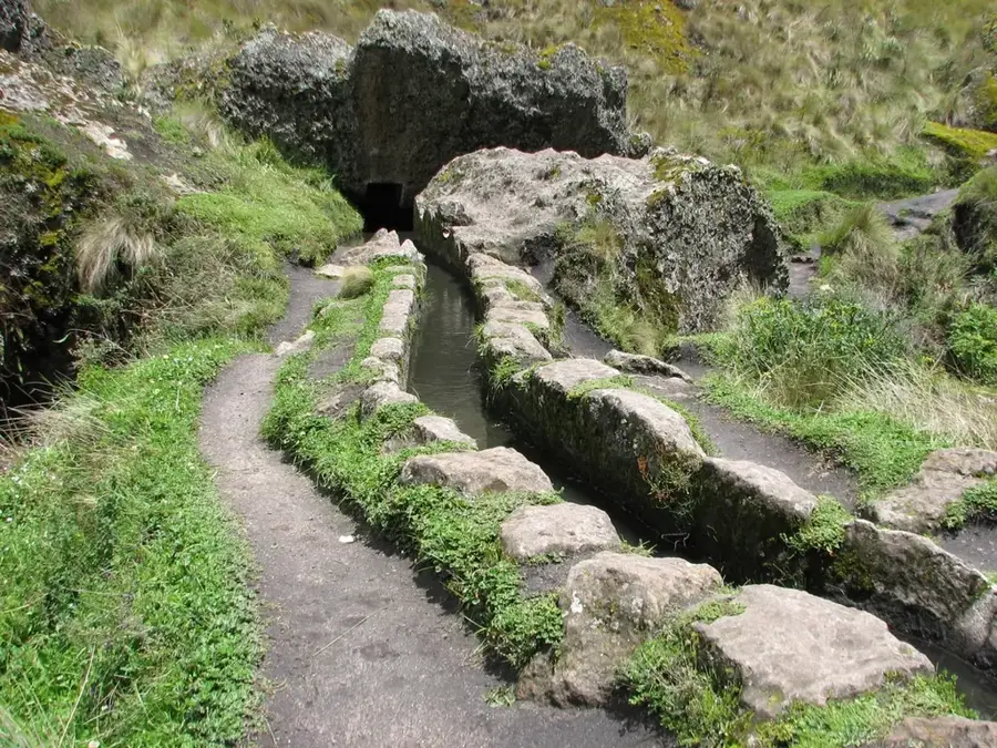
Marcahuamachuco, often referred to as the 'Machu Picchu of the North', is a monumental archaeological site in the La Libertad region of northern Peru. Built by the Huamachuco culture between 400 and 1000 AD, the complex is situated on a high plateau at an elevation of 3,700 meters. The site extends for nearly 5 kilometers and is distinguished by its massive double-walled stone structures, which reach heights of up to 12 meters in some areas. Among its most prominent sectors is the 'Castillo', a circular multi-level structure likely used for ritual purposes. The strategic location provided defensive advantages and allowed for the control of trade routes between the highlands and the coast. Despite its scale and architectural importance, Marcahuamachuco has been less extensively studied than the Inca sites in the south, adding to its mysterious aura. Today, it stands as one of the most impressive examples of pre-Inca monumental architecture in the northern Andean region.
- Location: Peru
- Top sights: Campanario · Santa Barbara · Tucupina 6
- Nearby: Caraz (41 km)
Best time to visit & climate
The most pleasant time to visit is May, Aug, Sep.
| Jan | Feb | Mar | Apr | May | Jun | Jul | Aug | Sep | Oct | Nov | Dec | |
|---|---|---|---|---|---|---|---|---|---|---|---|---|
| Avg °C | 12 | 11 | 11 | 11 | 12 | 11 | 11 | 11 | 12 | 12 | 12 | 12 |
| Rain mm | 37 | 34 | 52 | 36 | 17 | 5 | 9 | 4 | 9 | 27 | 32 | 31 |
📋 Practical info
Geography
Facts
- Built by the Huamachuco culture
- Located at 3,700 meters altitude
- Walls reach up to 12 meters in height
- Site length is nearly 5 kilometers
- Main sector is called 'Castillo'
- Located 10 km from Huamachuco town
Explore nearby
Notable places around
Route planner — Car & Motorhome
Where do you start? We build the route here, with stops and country notes along the way.
© OpenStreetMap contributors · OpenRouteService
Sights in the town Marcahuamachuco (11)
Sights nearby
Frequently asked questions
What is the difficulty level?
When is the best time to travel?
Do I need a guide?
Where can one stay?
How long does the excursion take?
Marcahuamachuco: where is it located?
Marcahuamachuco: what is there to see?
Marcahuamachuco: when is the best time to visit?
Marcahuamachuco: why is it worth visiting?

Nearby cities
History & landmarks
Nature
More places