Plizio Visual Lab
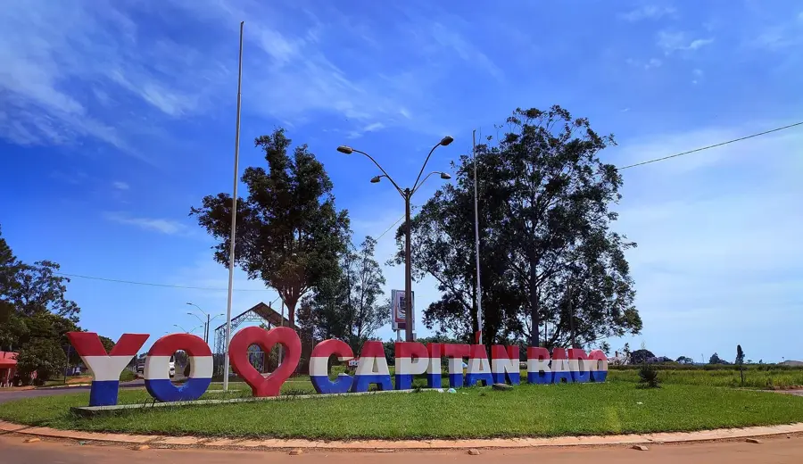
Capitán Bado
ℹ️Practical info — Capitán Bado
▾
🌤 Weather — 5 days
📍 Nearby
Sights nearby
💡 Tips
- Be aware of the porous border with Coronel Sapucaia, Brazil; you might cross without realizing it.
- Dual currency (Guaraní and Brazilian Real) is widely accepted.
- The town is deep in the Amambay Mountains, making it cooler and more humid than the plains.
- Due to the remote border location, always carry identification and respect local authorities' checkpoints.
🍽 Food
Brazilian bean stew, reflecting the strong cross-border influence.
Traditional Paraguayan cornmeal dumpling soup, well-suited for cooler mountain evenings.
Brazilian cheese bread, widely available in local bakeries.
🛍 Shopping · 🧘 Quiet spots
Great for buying imported electronics and Brazilian goods.
Locally sourced in the Amambay region, buy it fresh from market stalls.
The surrounding deep forests offer incredible nature walks, but always hire a local guide.
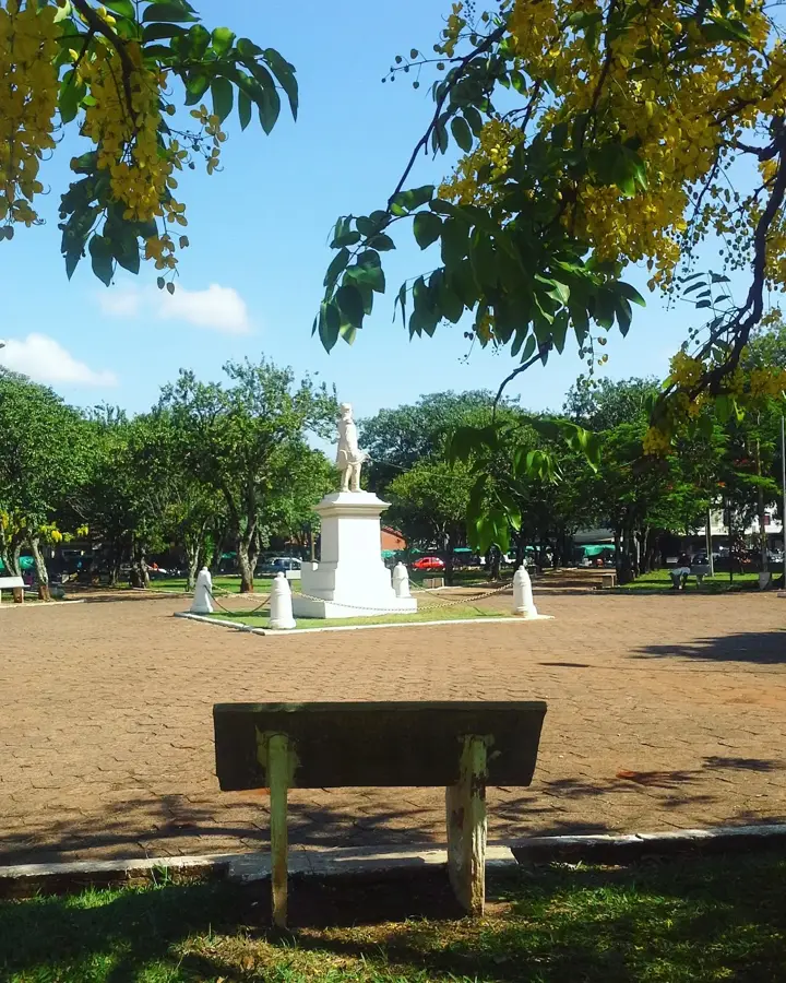
A central gathering place that remains quiet during the siesta hours.
Water temperature…
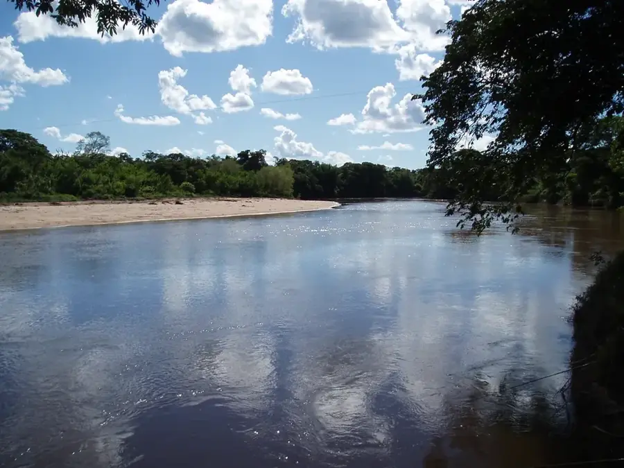
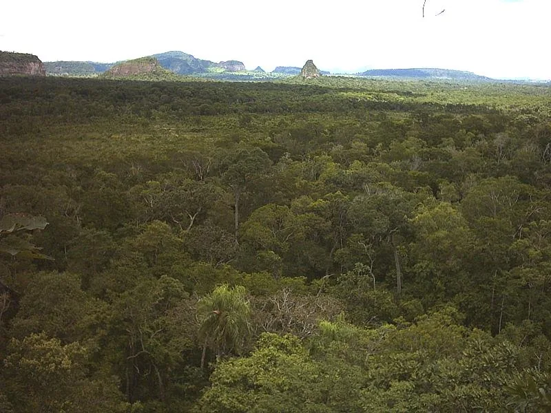
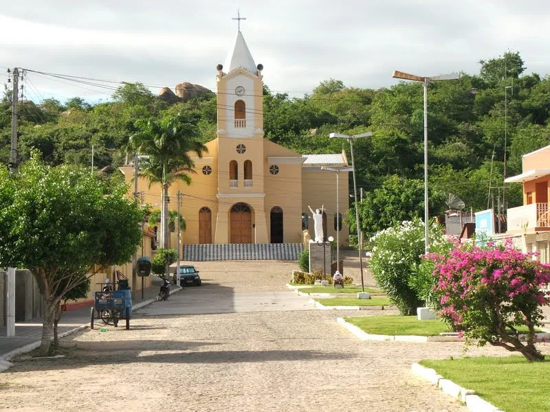
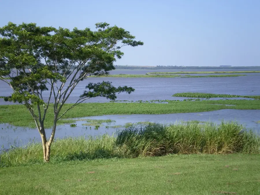
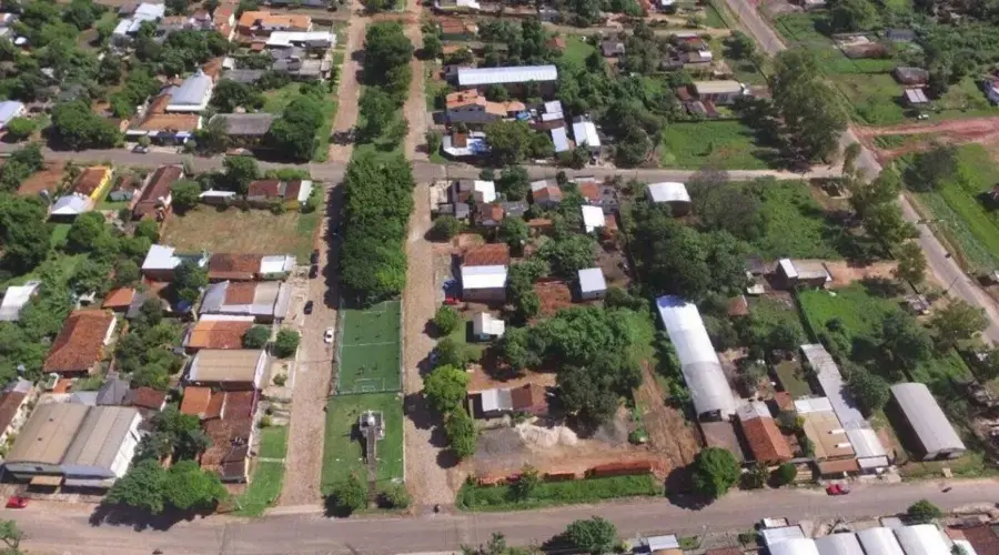
Capitán Bado, a town in the Amambay Department of northern Paraguay, sits right on the border with Brazil opposite the state of Mato Grosso do Sul. It was founded in 1907 and named after Captain Pedro Pablo Bado, the commander of a frontier garrison who opened up the region. With around 30 000 inhabitants the town is small but strategically important, serving as the gateway to the sparsely populated Sierra de Amambay range. Its economy relies on cattle ranching, yerba mate cultivation and cross-border trade with Brazil. Capitán Bado is surrounded by dense forests and the rolling hills of the Sierra de Amambay, a region rich in indigenous rock paintings, caves and Pajagua heritage. Nearby lies Cerro Corá National Park, a historically significant site where in 1870 the War of the Triple Alliance ended with the death of Marshal López. The parish church and central plaza define the cityscape, along with the typical cross-border trade in Brazilian goods.
- Location: Paraguay
- Nearby: Yby Yaú (55 km)
- Population: ~9.114 (2020)
Best time to visit & climate
The most pleasant time to visit is Jul–Sep.
| Jan | Feb | Mar | Apr | May | Jun | Jul | Aug | Sep | Oct | Nov | Dec | |
|---|---|---|---|---|---|---|---|---|---|---|---|---|
| Avg °C | 26 | 26 | 25 | 23 | 19 | 17 | 17 | 19 | 21 | 24 | 24 | 26 |
| Rain mm | 159 | 176 | 118 | 134 | 132 | 83 | 56 | 49 | 92 | 171 | 188 | 179 |
Geography
Facts
- The city was officially established on July 25, 1914.
- It sits at the base of the Amambay mountain range at 485 meters elevation.
- The travel distance to Asunción is approximately 430 kilometers.
- José Matías Bado, the namesake, was a colonel in the Triple Alliance War.
- The border with Brazil often consists of just a single shared street.
- The region is known for the large-scale cultivation of grains and soybeans.
Explore nearby
Notable places around
Route planner — Car & Motorhome
Where do you start? We build the route here, with stops and country notes along the way.
© OpenStreetMap contributors · OpenRouteService
Sights in the town Capitán Bado (1)
Frequently asked questions
How long to stay?
Best time?
Travel?
Food?
For kids?
Capitán Bado: where is it located?
Capitán Bado: when is the best time to visit?
Capitán Bado: why is it worth visiting?

Nearby cities
Nature
More places