Plizio Visual Lab
Amambay Hills

Weather…
Water temperature…
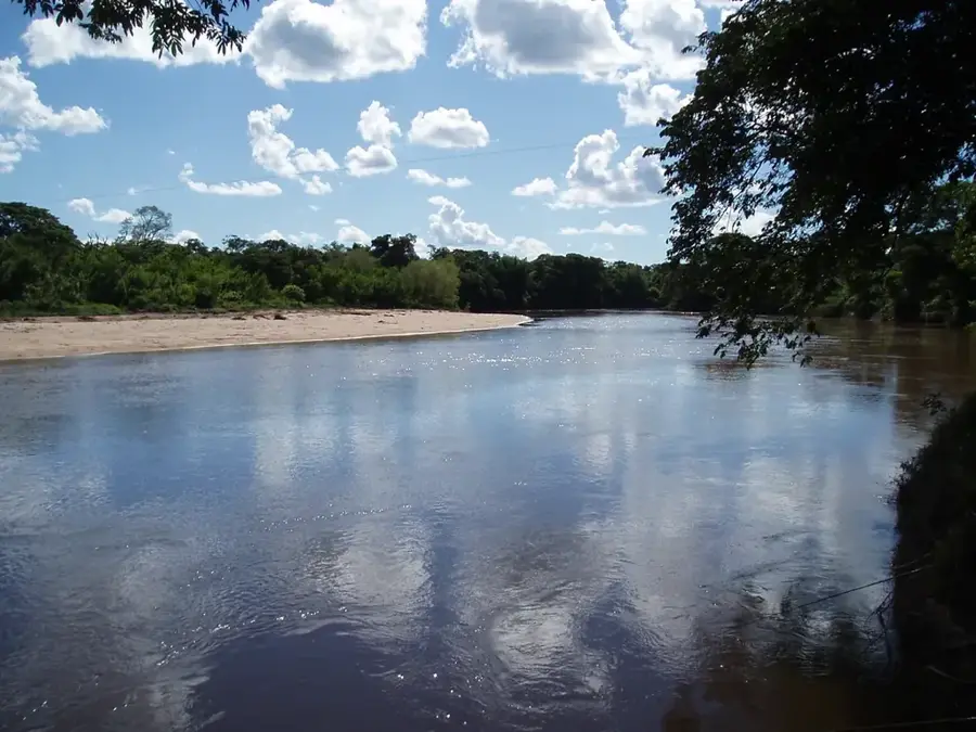
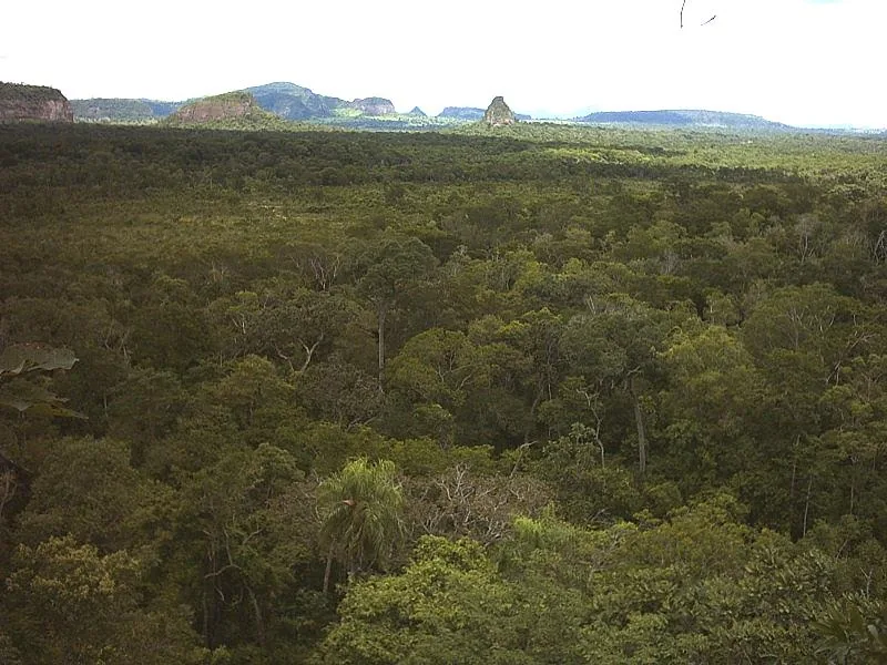
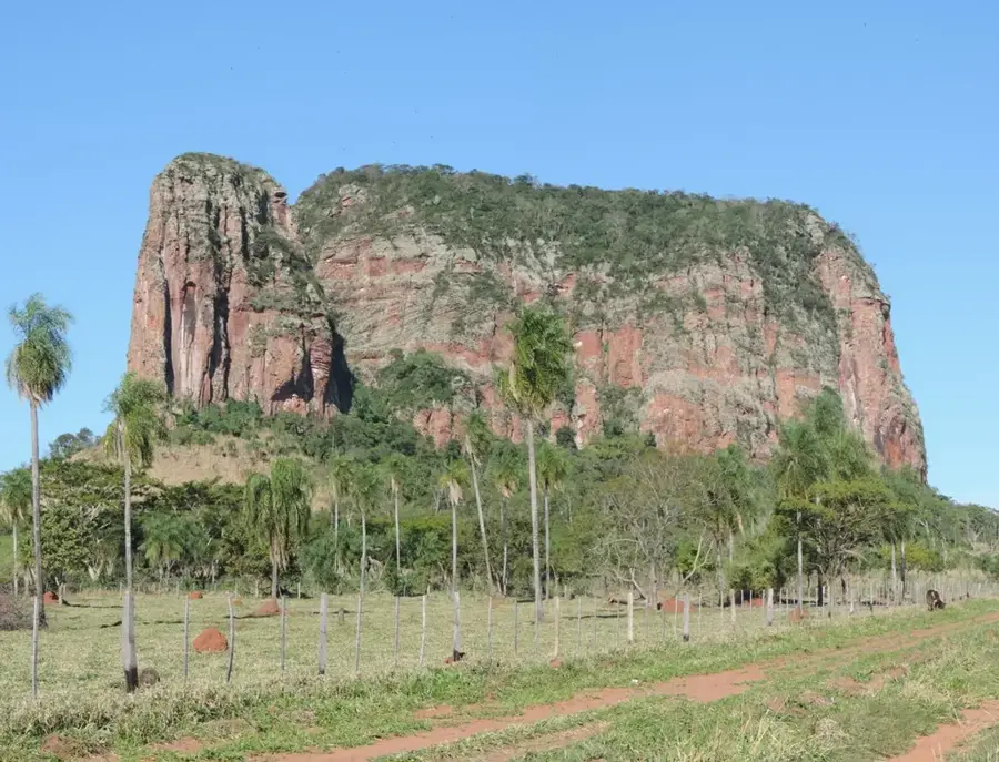
The Amambay Hills (Serranía de Amambay) comprise an extensive system of hills and mountains in northeastern Paraguay, forming a natural border with the Brazilian state of Mato Grosso do Sul. This formation is geologically linked to the Brazilian Plateau and consists primarily of Jurassic sedimentary rocks that have been deeply furrowed by climatic influences. The landscape is defined by high plateaus, deep gorges, and isolated rock formations that create an impressive backdrop. With peaks reaching up to 700 meters, it is one of the most distinctive elevations in eastern Paraguay. The region is of strategic importance for water management, as it serves as the source for numerous streams that feed the Paraguay River. The dense forests of the Serranía are still home to indigenous peoples such as the Paĩ Tavyterã, whose culture is intimately tied to the mountainous landscape and its sacred sites.
- Location: Paraguay
- Nearby: Yby Yaú (24 km)
Best time to visit & climate
The most pleasant time to visit is Jul–Sep.
| Jan | Feb | Mar | Apr | May | Jun | Jul | Aug | Sep | Oct | Nov | Dec | |
|---|---|---|---|---|---|---|---|---|---|---|---|---|
| Avg °C | 27 | 26 | 26 | 24 | 20 | 19 | 18 | 20 | 23 | 25 | 25 | 27 |
| Rain mm | 178 | 183 | 118 | 133 | 121 | 80 | 50 | 43 | 83 | 159 | 190 | 174 |
📋 Practical info
Geography
Facts
- The highest elevation reaches approximately 700 meters above sea level.
- Geological formations date primarily from the Jurassic period.
- It forms a 200-kilometer-long natural boundary with Brazil.
- Ancestral home of the indigenous Paĩ Tavyterã community.
- Crucial catchment area for the tributaries of the Paraguay River.
- Contains significant archaeological sites with ancient petroglyphs.
Explore nearby
Notable places around
Route planner — Car & Motorhome
Where do you start? We build the route here, with stops and country notes along the way.
© OpenStreetMap contributors · OpenRouteService
Sights nearby
Frequently asked questions
What characterizes the Amambay hilly region?
Is it safe to hike here?
When is the best travel time?
Are there tourist centers there?
What should one keep in mind when traveling?
Amambay Hills: where is it located?
Amambay Hills: when is the best time to visit?
Amambay Hills: why is it worth visiting?

Nearby cities
Nature
More places