Plizio Visual Lab
Amambay Mountains
Weather…
Water temperature…
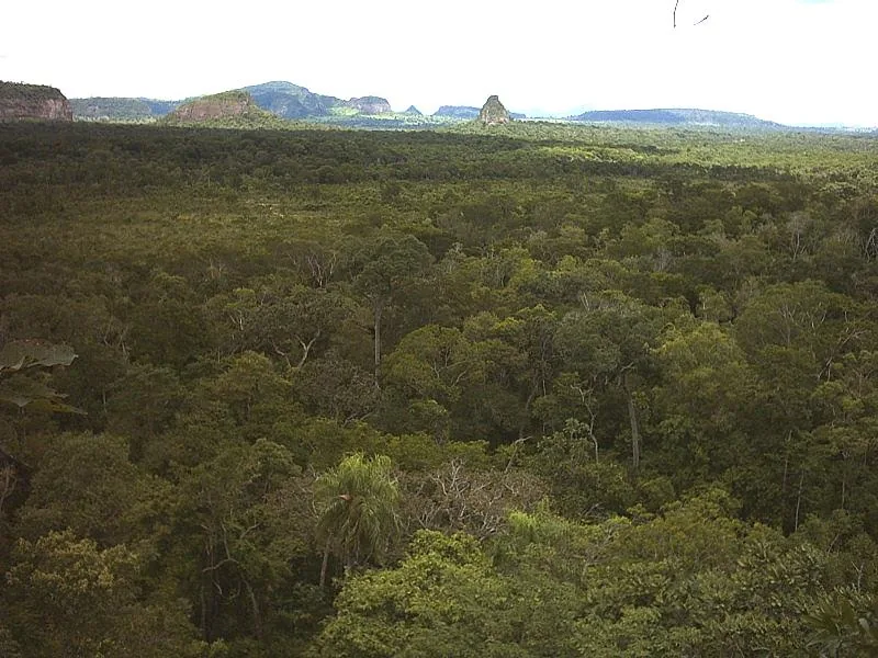
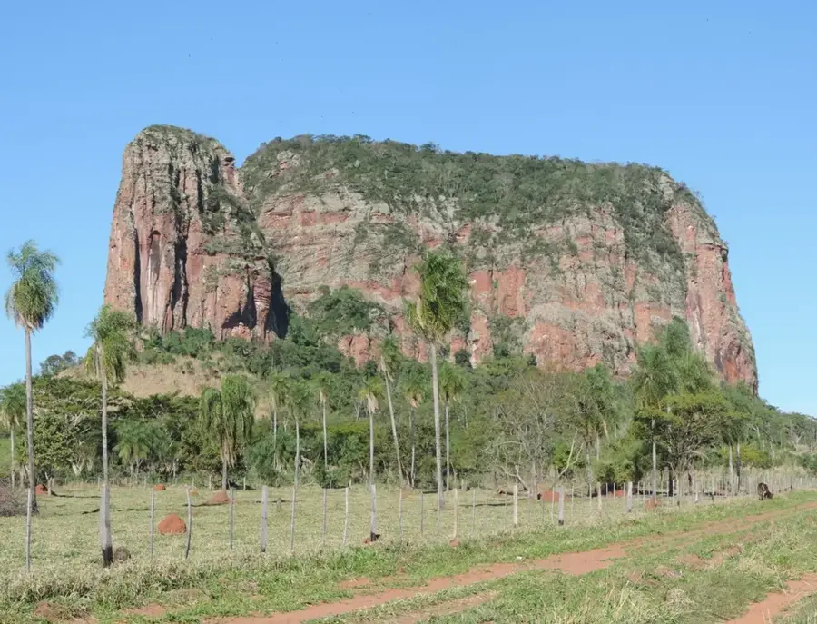
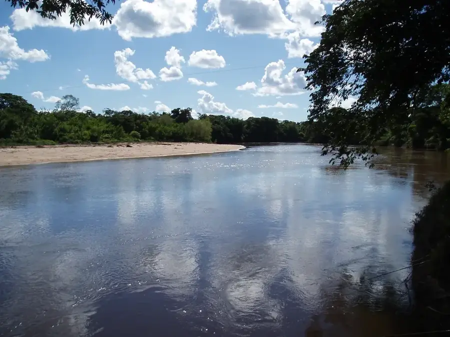
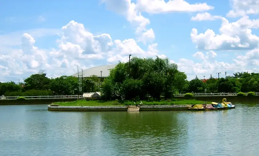
The Amambay Mountains (Cordillera de Amambay) stretch along the northeastern border of Paraguay, forming a significant natural boundary with Brazil. Geologically, the range is an extension of the Brazilian Plateau, primarily composed of sandstone formations that have been sculpted by erosion over millions of years. Reaching elevations between 400 and 700 meters, these mountains function as a vital watershed between the Paraguay and Paraná River basins. The historical significance of the region is deeply rooted in the 1870 Battle of Cerro Corá, which marked the end of the War of the Triple Alliance, the deadliest conflict in South American history. Today, the mountains are home to rich subtropical forests and serve as a crucial habitat for diverse flora and fauna. The area also remains culturally significant as the ancestral home of several indigenous groups who maintain their traditional practices within the rugged and scenic terrain of the department.
- Location: Paraguay
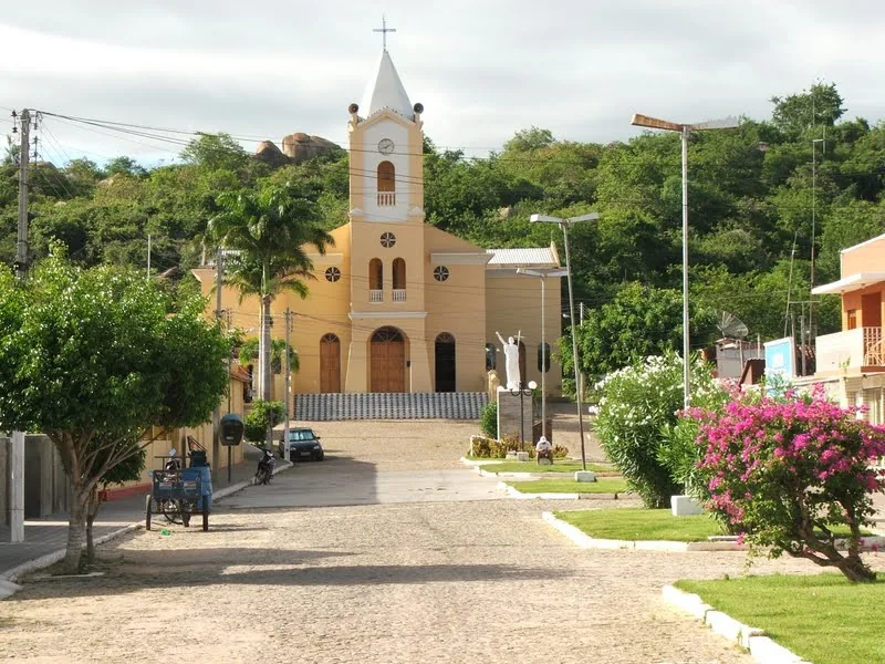
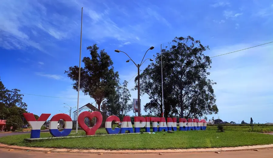
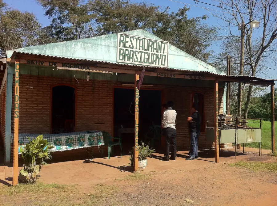
- Nearby: Capitán Bado (55 km)
Best time to visit & climate
The most pleasant time to visit is Jul–Sep.
| Jan | Feb | Mar | Apr | May | Jun | Jul | Aug | Sep | Oct | Nov | Dec | |
|---|---|---|---|---|---|---|---|---|---|---|---|---|
| Avg °C | 27 | 26 | 26 | 24 | 20 | 19 | 18 | 20 | 23 | 25 | 25 | 27 |
| Rain mm | 178 | 183 | 118 | 133 | 121 | 80 | 50 | 43 | 83 | 159 | 190 | 174 |
📋 Practical info
Geography
Facts
- The mountain range extends for approximately 200 kilometers along the border.
- The highest peak reaches an elevation of about 700 meters above sea level.
- The geological formations consist primarily of Mesozoic sandstone.
- It forms the international boundary between Paraguay and Mato Grosso do Sul, Brazil.
- The range is the source of significant rivers including the Ypané and Aquidabán.
- It contains the Cerro Corá National Park, a key historical and ecological site.
Explore nearby
Notable places around
Route planner — Car & Motorhome
Where do you start? We build the route here, with stops and country notes along the way.
© OpenStreetMap contributors · OpenRouteService
Sights nearby
Frequently asked questions
Are the Amambay Mountains suitable for hiking?
Are there accommodations in the region?
Best time to travel?
Is there a danger from wild animals?
How is the mobile reception?
Amambay Mountains: where is it located?
Amambay Mountains: when is the best time to visit?
Amambay Mountains: why is it worth visiting?

Nearby cities
Nature
More places