Plizio Visual Lab
Ngatpang
ℹ️Practical info — Ngatpang
▾
🌤 Weather — 5 days
📍 Nearby
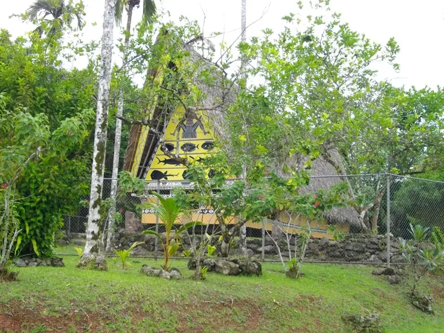
Sights nearby
💡 Tips
- The region is renowned for its mangrove forests; consider booking a local guide to explore the waterways.
- Stop by the Ngatpang Aquaculture Center if possible to learn about their famous mud crab breeding.
- A 4x4 vehicle is highly recommended if you plan to explore the secondary dirt roads in the area.
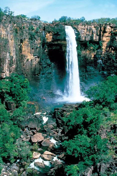
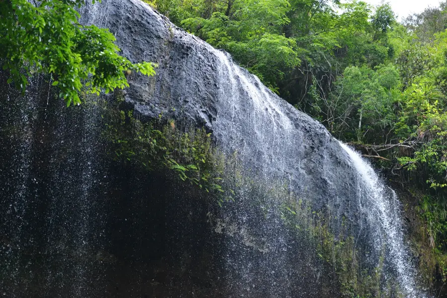
- Tabecheding Waterfall is a beautiful, less-visited alternative to Ngardmau in this region.
- Mosquito repellent is an absolute must, especially near the mangroves and forestry areas.
🍽 Food
The absolute local specialty, often prepared with a savory garlic or ginger sauce.
A light and briny soup made from locally harvested giant clams, found at local community gatherings.
Served plain to balance out the rich flavors of the crab and fish dishes.
🛍 Shopping · 🧘 Quiet spots
You can sometimes buy freshly caught mud crabs directly from the aquaculture center.
Local women's groups occasionally sell traditional woven baskets and hats in the villages.
A smaller, serene waterfall where you can enjoy a quiet swim without the crowds.
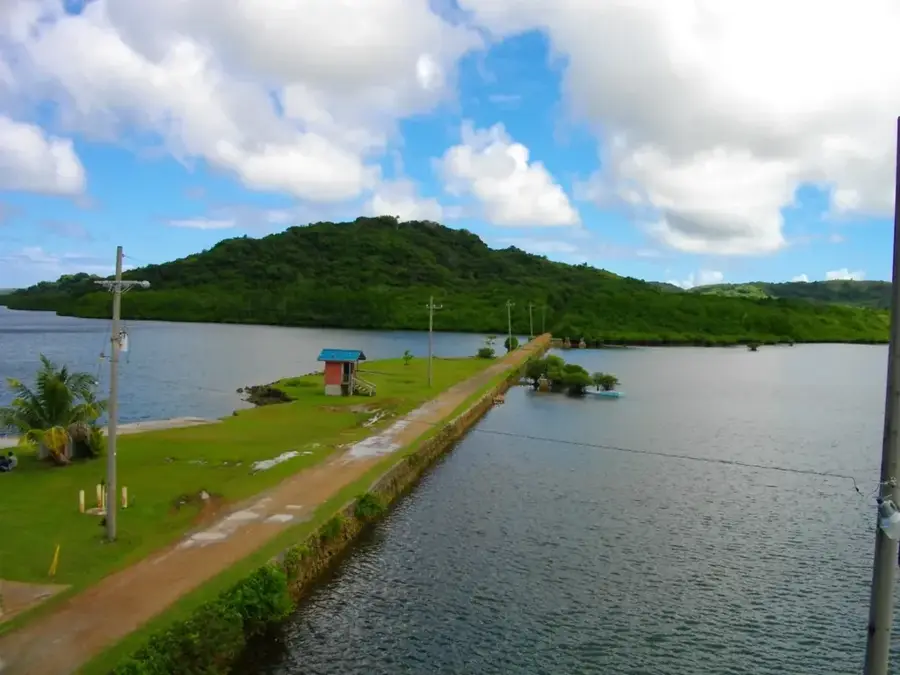
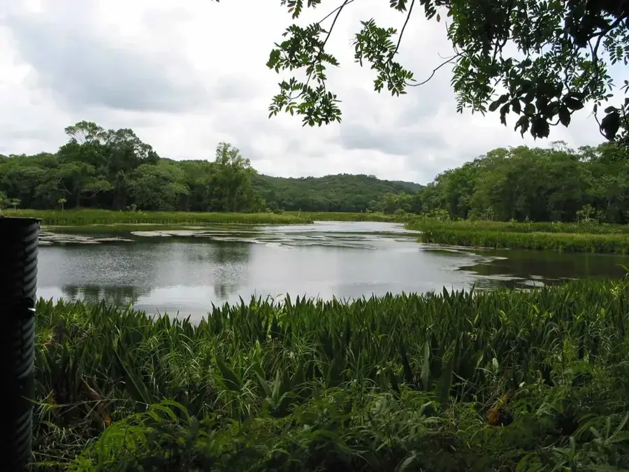
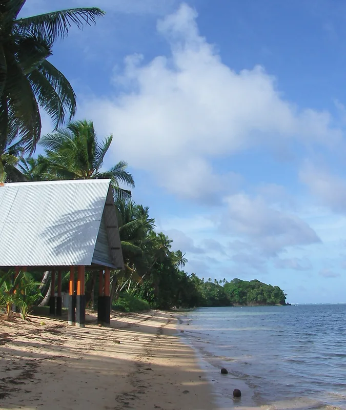
The largest estuary in Micronesia, offering incredibly peaceful views of the expansive mangroves.
Water temperature…
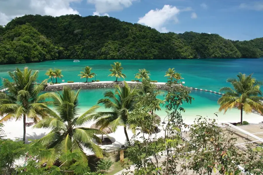
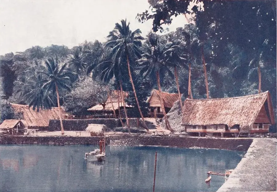
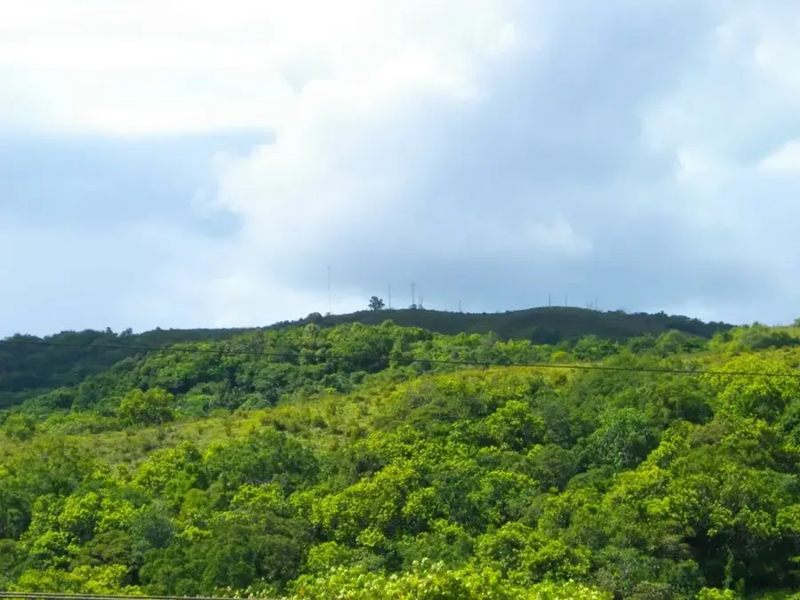
Ngatpang is located on the western coast of Babeldaob, the largest island in Palau, serving as the administrative capital of Ngatpang State. The settlement is strategically positioned along the shores of Ngeremeduu Bay, a region known for its ecological diversity and vital natural resources. Ngatpang has established itself as a national hub for aquaculture, with numerous fish farms situated in its sheltered bays producing local seafood. Additionally, the state is a center for sustainable forestry, utilizing the dense tropical forests that cover much of its interior. With a modest population of about 280 people, the village maintains a peaceful, traditional atmosphere. Visitors to Ngatpang can explore pristine mangrove ecosystems and witness the local commitment to environmental stewardship. The area's combination of maritime livelihoods and forest-based industry makes it a unique example of Palau's rural economic development.
- Location: Palau
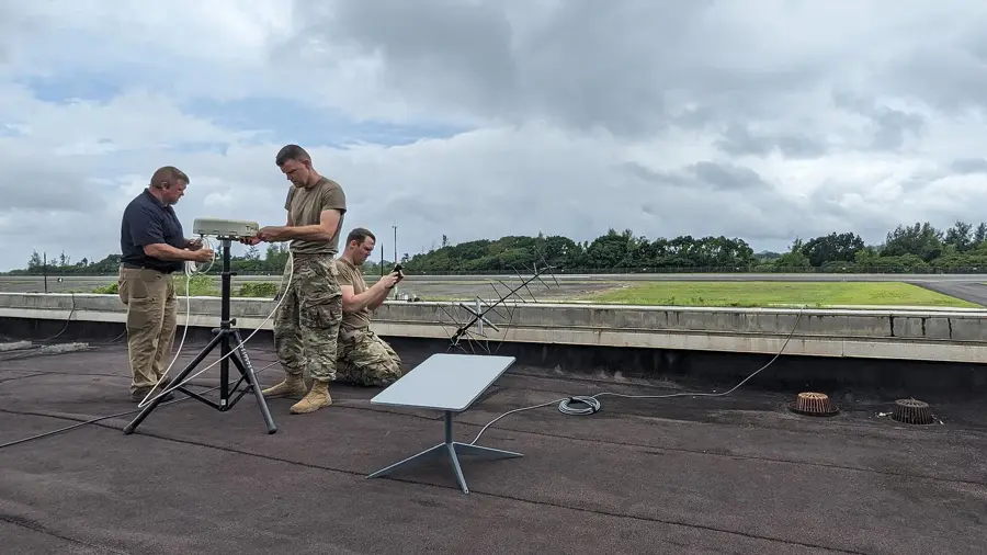
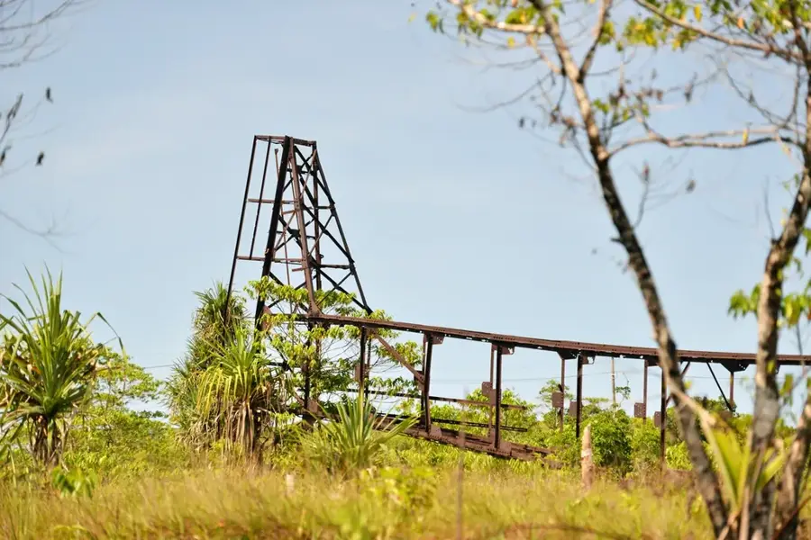
- Top sights: Japanese Monument · Kokusai Communication Station · Fallen destroyed mast
- Nearby: Aimeliik (5 km)
Best time to visit & climate
The most pleasant time to visit is Feb–Apr.
| Jan | Feb | Mar | Apr | May | Jun | Jul | Aug | Sep | Oct | Nov | Dec | |
|---|---|---|---|---|---|---|---|---|---|---|---|---|
| Avg °C | 28 | 28 | 28 | 28 | 28 | 28 | 28 | 28 | 28 | 28 | 28 | 28 |
| Rain mm | 216 | 197 | 183 | 177 | 279 | 331 | 375 | 303 | 284 | 236 | 239 | 246 |
Geography
Facts
- Located on west coast of Babeldaob
- Surrounds Ngeremeduu Bay
- Extensive mangrove ecosystems
- Center for aquaculture projects
- Population of approximately 280
- Ecologically significant conservation area
Explore nearby
Notable places around
Route planner — Car & Motorhome
Where do you start? We build the route here, with stops and country notes along the way.
© OpenStreetMap contributors · OpenRouteService
Sights in the town Ngatpang (3)
Frequently asked questions
How long to stay in Ngatpang?
Best time to visit?
How to get there?
Is there anything special?
Is it family-friendly?
Ngatpang: where is it located?
Ngatpang: what is there to see?
Ngatpang: when is the best time to visit?
Ngatpang: why is it worth visiting?

Nearby cities


History & landmarks

Nature

More places