Plizio Visual Lab
Skjervsfjellet

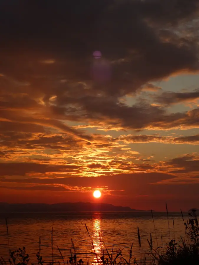
Weather…
Water temperature…
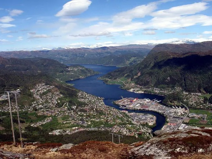
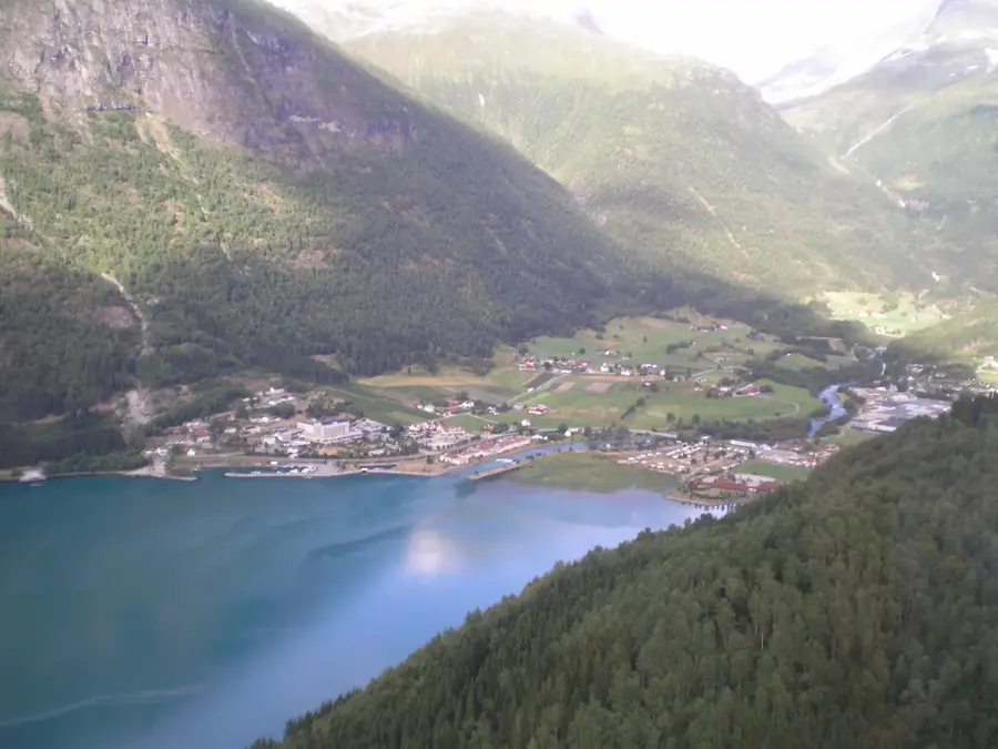
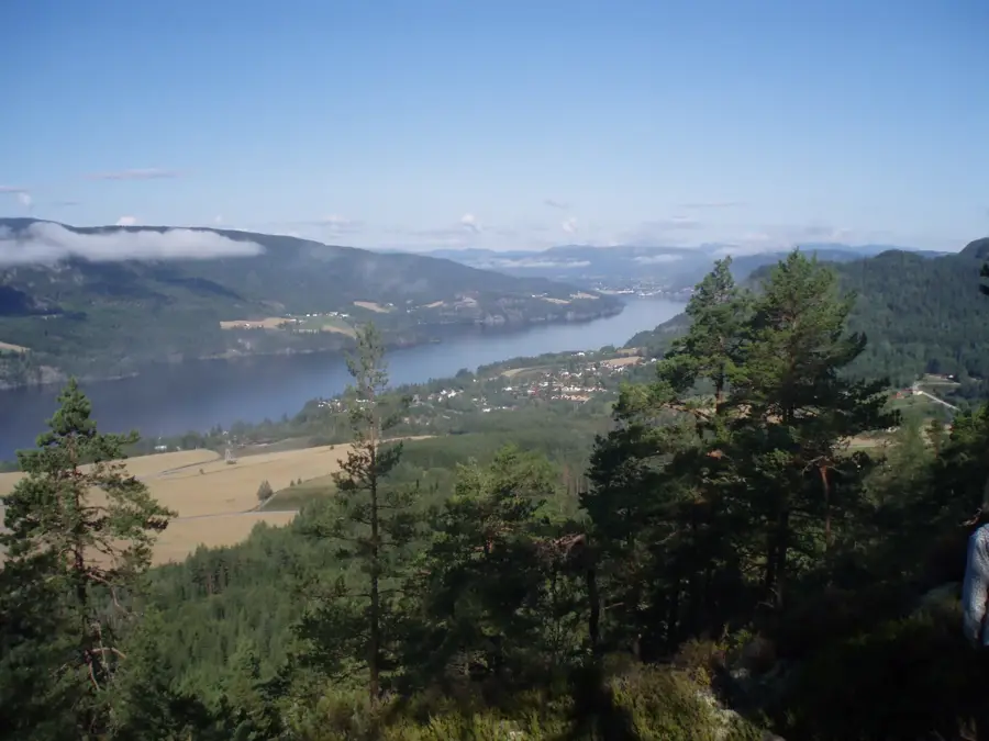
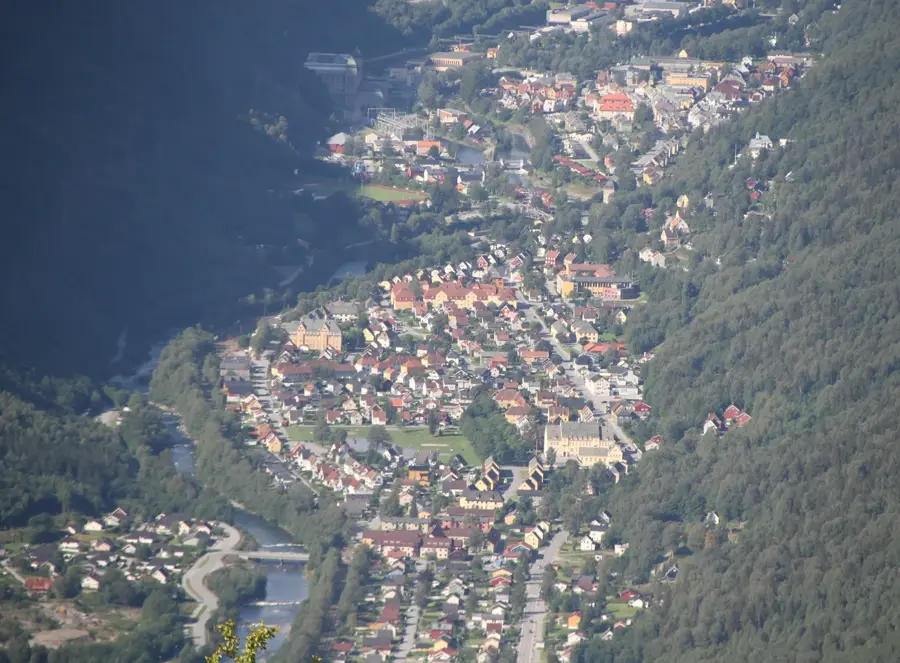
Skjervsfjellet is a prominent mountain peak located in the Vestland province of Norway, situated between the municipalities of Voss and Ulvik. Standing at an elevation of 1,352 meters above sea level, it dominates the surrounding high-altitude landscape of the Hardanger region. The mountain's geology consists primarily of Precambrian gneiss, which was smoothed and shaped by the erosive forces of glaciers during the last ice age. The nearby Skjervsfossen waterfall, featuring a total drop of 150 meters, is a significant natural landmark integrated into the national tourist routes. Historically, this area served as a critical transit corridor for trade and movement between the inner fjord settlements and the mountain farming communities. Today, Skjervsfjellet is a destination for mountain hikers seeking to experience subpolar vegetation and expansive views toward the Hardangerjøkulen glacier. The local climate is characterized by heavy snowfall, which often remains in sheltered crevices until the height of summer.
- Location: Norway
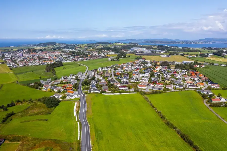
- Nearby: Ulvik (14 km)
Best time to visit & climate
The most pleasant time to visit is Jun–Aug.
| Jan | Feb | Mar | Apr | May | Jun | Jul | Aug | Sep | Oct | Nov | Dec | |
|---|---|---|---|---|---|---|---|---|---|---|---|---|
| Avg °C | -5 | -5 | -3 | 1 | 6 | 11 | 13 | 13 | 9 | 4 | -1 | -3 |
| Rain mm | 249 | 178 | 175 | 125 | 124 | 142 | 161 | 171 | 217 | 213 | 232 | 262 |
📋 Practical info
Geography
Facts
- The peak stands at an elevation of 1,352 meters above sea level.
- The geological composition is mainly ancient Precambrian gneiss.
- The adjacent Skjervsfossen waterfall drops a total of 150 meters.
- It is situated along the designated Hardanger National Tourist Route.
- Snow patches frequently remain visible on the slopes until July.
- The area provides a natural habitat for the rock ptarmigan.
Explore nearby
Notable places around
Route planner — Car & Motorhome
Where do you start? We build the route here, with stops and country notes along the way.
© OpenStreetMap contributors · OpenRouteService
Sights nearby
Frequently asked questions
Where is Skjervsfjellet located?
What is Skjervsfossen?
Can you hike up Skjervsfjellet?
How is the access to the area?
Are there toilets available?
Skjervsfjellet: where is it located?
Skjervsfjellet: when is the best time to visit?
Skjervsfjellet: why is it worth visiting?

Nearby cities